Parking
There is no parking at Donohue Pass or Dorothy Lake Pass. Tuolumne Meadows on Tioga Road is the main vehicle-access point along the corridor; arrange the backcountry approach, exit and transport separately.
Yosemite National Park, CA
A high Sierra crossing through Lyell Canyon and Glen Aulin.
Overview
Map & elevation
Plan your hike

Yosemite Tour Guide
Parkwolf is a GPS audio tour guide for Yosemite National Park. As you drive, it chimes in with what’s ahead: hidden gems, upcoming stops, history, geology, and wildlife, right through your car’s speakers.
See the Yosemite audio tour“We just drove through Yosemite and it made our trip listening to this app as we drove through. Like having a tour guide in the car with you.”


Trail guide
The Yosemite section of the Pacific Crest Trail is a one-way, roughly 70-mile wilderness crossing from Donohue Pass on the south boundary to Dorothy Lake Pass on the north. It passes Lyell Canyon, Tuolumne Meadows and Glen Aulin, and shares much of its route with the John Muir Trail, a 211-mile route from Yosemite Valley to Mount Whitney. The PCT was designated a National Scenic Trail in 1968 and runs from the U.S.-Mexico border to Canada; this Yosemite section carries that route across the high Sierra. This is a multi-day backpacking itinerary, not a day hike or loop.
Neither pass is road-accessible. Tuolumne Meadows on Tioga Road is the main road crossing along the route, so plan how you will reach the southern approach and leave the northern end before setting out. A sensible walking-time estimate is about 40 hours, divided over several days to fit your pace and permit. The distance is approximate: a route trace measures about 66 miles, while the park's published figure is nearly 70.
Donohue Pass is the high point of Yosemite's PCT at 11,056 feet. Northbound, the route drops through Lyell Canyon toward Tuolumne Meadows, around 8,600 feet. The PCT and John Muir Trail share most of their Yosemite tread, so JMT maps and information can describe the same ground on this stretch.
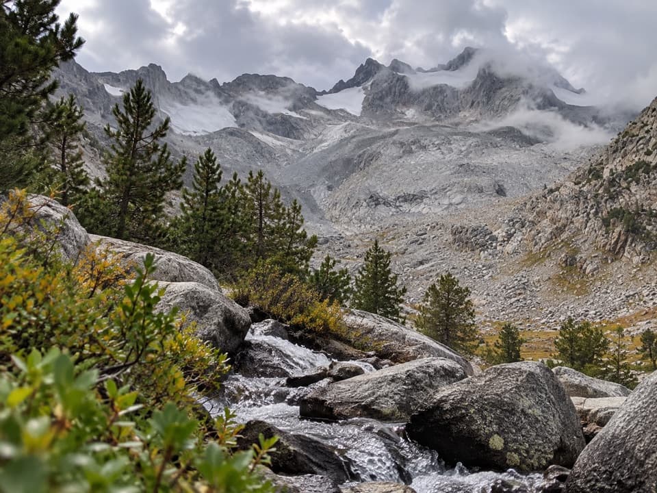
At Tuolumne Meadows the trail crosses the Tioga Road corridor, then heads north through Glen Aulin alongside the Tuolumne River. This part of the route brings the river and its cascades into the trip; it is a passing section of the longer PCT, not the route's endpoint. At the Donohue shoulder, the rocky basin in the foreground gives scale to the view toward Mount Lyell.
Beyond Glen Aulin the PCT returns to remote high country before reaching the park's lowest point near Benson Lake, about 7,560 feet. From there the line rises toward Dorothy Lake Pass, where the route leaves Yosemite. The contrast between the high southern pass, the meadow country and the lower lake basin is part of what makes this a substantial Sierra section rather than a single destination walk.
Wildlife
 732 sightingsBlack BearMost seen around 7 PMSighting map
 1,747 sightingsMule DeerMost seen around 6 PMSighting map
 332 sightingsCoyoteMost seen around 7 PMSighting map
 11 sightingsPeregrine FalconMost seen around 8 AMSighting map
 276 sightingsPikaMost seen around 8 AMSighting map
 677 sightingsYellow-bellied MarmotMost seen around 8 AMSighting map
Sighting maps show where each species has been reported across Yosemite. Wildlife moves, so no sighting is guaranteed.
Keep exploring
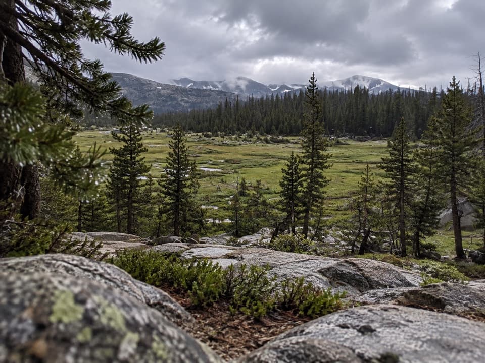 ChallengingVogelsang to Cathedral Loop34.4 mi · 18 hr · 8.4 mi awayA high-country loop linking three of Yosemite’s High Sierra Camps.
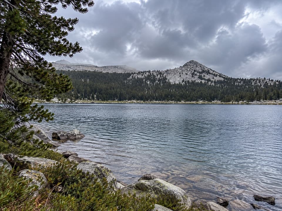 ModerateLower Gaylor Lake Trail4.7 mi · 3 hr · 8.7 mi awayA high-country lake with a faint final approach.
 ModerateMono Pass Trail8 mi · 6 hr · 9 mi awayWet meadows give way to a pass with Mono Lake views.
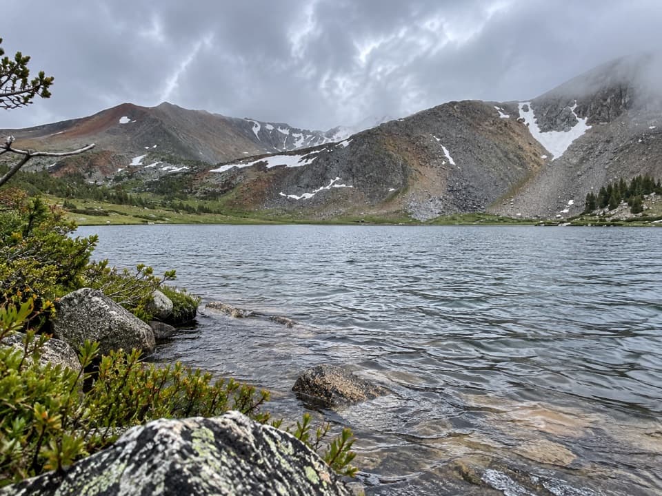 ModerateSpillway Lake Trail8 mi · 5 hr · 9 mi awayFour miles each way to a high-country lake past wet meadows.
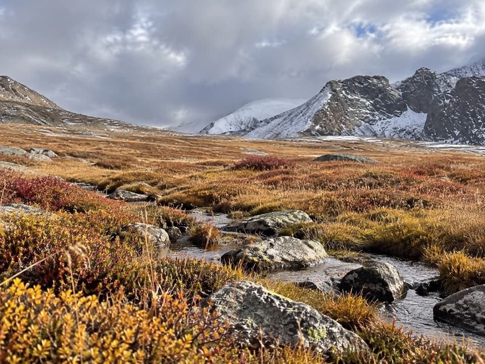 ChallengingParker Pass Trail10.5 mi · 8 hr · 9 mi awayA long climb to a high Sierra pass above Dana Meadows.
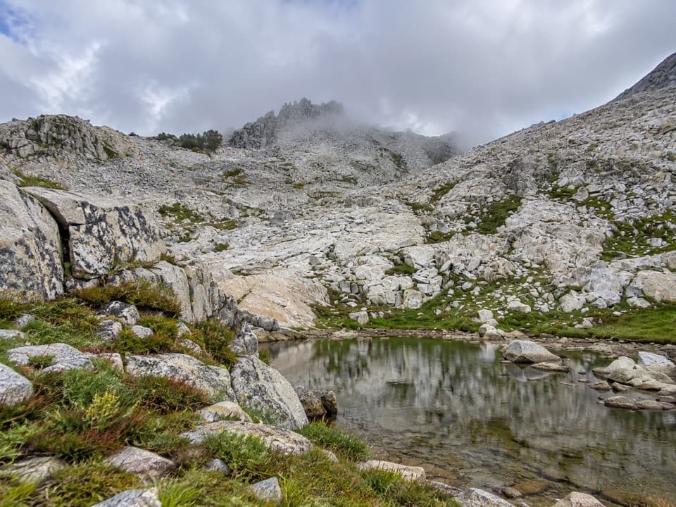 ChallengingPost Peak Pass Trail1.5 mi · 2 hr · 9.1 mi awayA rough high-country crossing between two granite passes.
 ModerateLyell Canyon Trail11.4 mi · 6 hr · 9.3 mi awayA long walk among meadows, river crossings, and open high country.
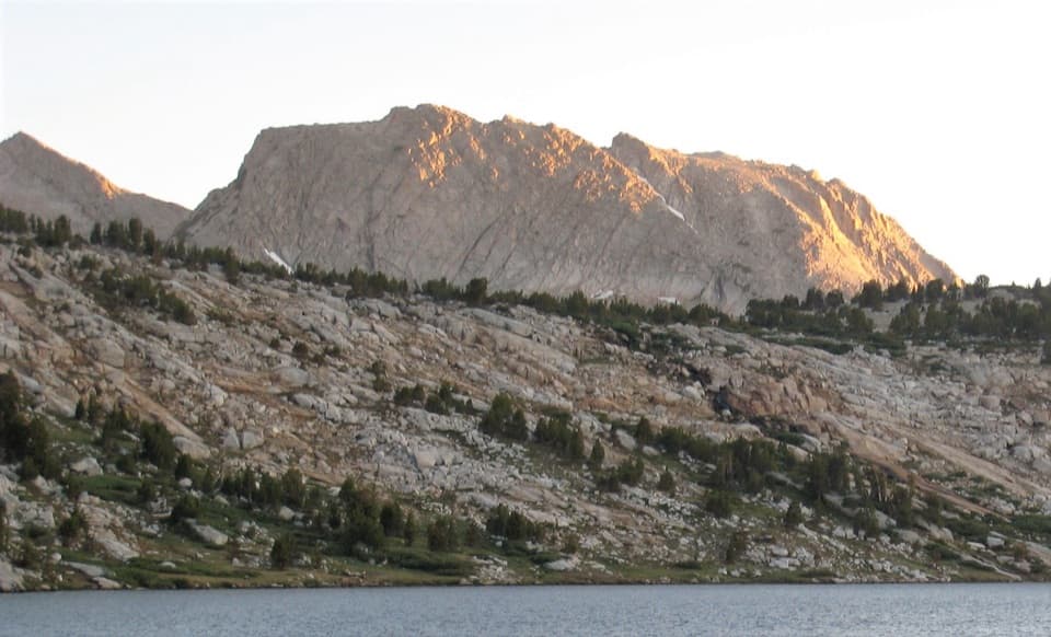 ChallengingIreland and Evelyn Lakes Loop22.2 mi · 12 hr · 9.4 mi awayTwo alpine lakes reward a long loop through a river meadow.
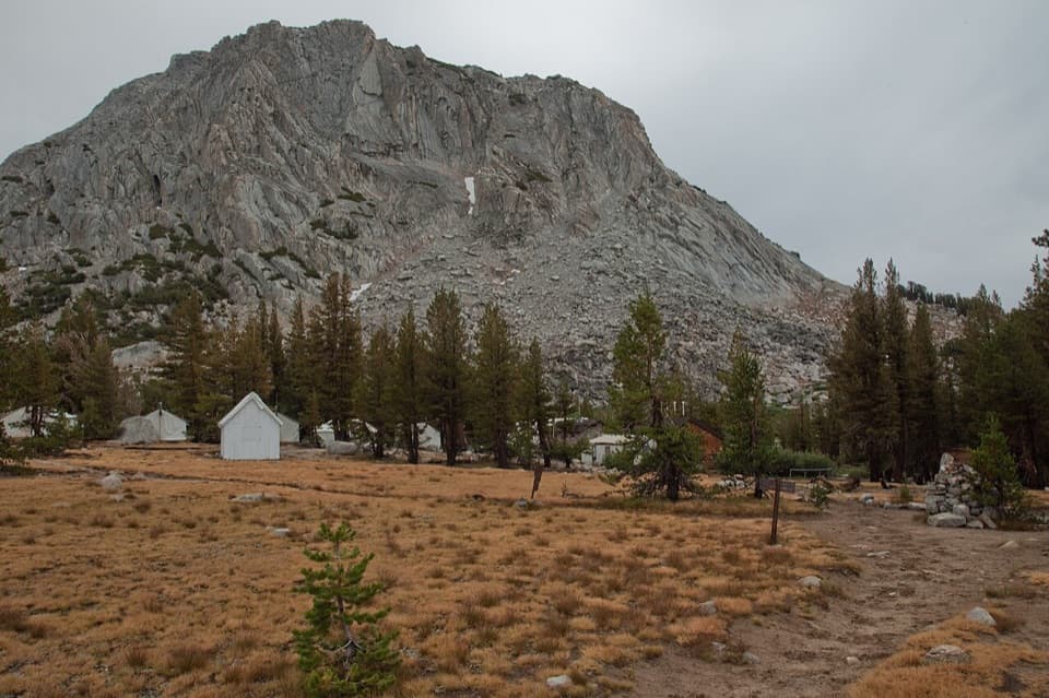 Lodging · 5.8 mi awayVogelsang High Sierra CampA strenuous hike opens into alpine lakes and sunset alpenglow.
 Lodging · 8.8 mi awayMerced Lake High Sierra CampRemote tent-cabin lodging beside Merced Lake, reached only on foot.
 Lodging · 9.3 mi awayTuolumne Meadows LodgeCanvas cabins beside the river, with trails on your doorstep.
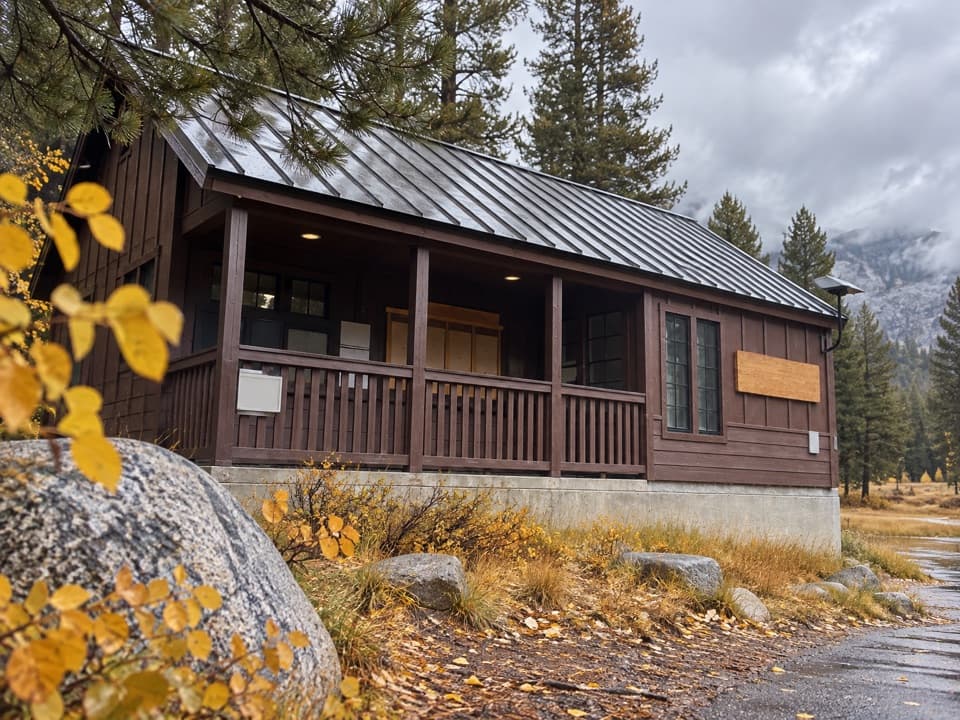 Ranger station · 9.6 mi awayTuolumne Meadows Wilderness CenterTalk over your route and get a backcountry permit.
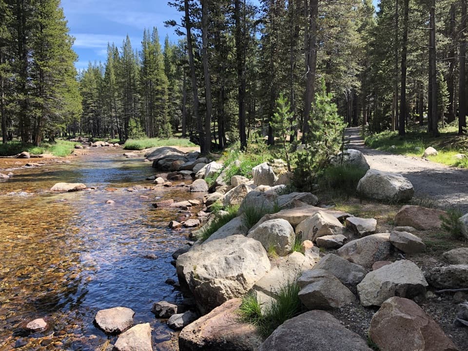 Campground · 9.7 mi awayTuolumne Meadows CampgroundA high-country base for Tuolumne's hikes, lakes, and river.
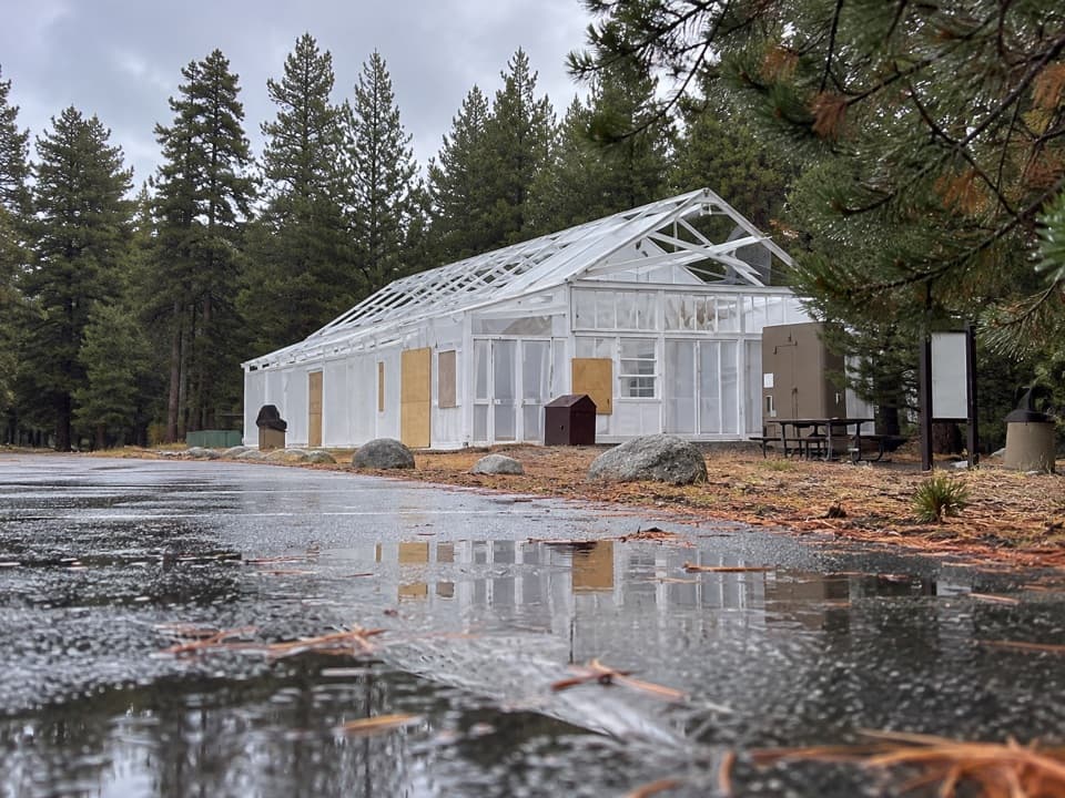 Food · 9.8 mi awayTuolumne Meadows Store and GrillLunch and trail basics before the high-country miles.
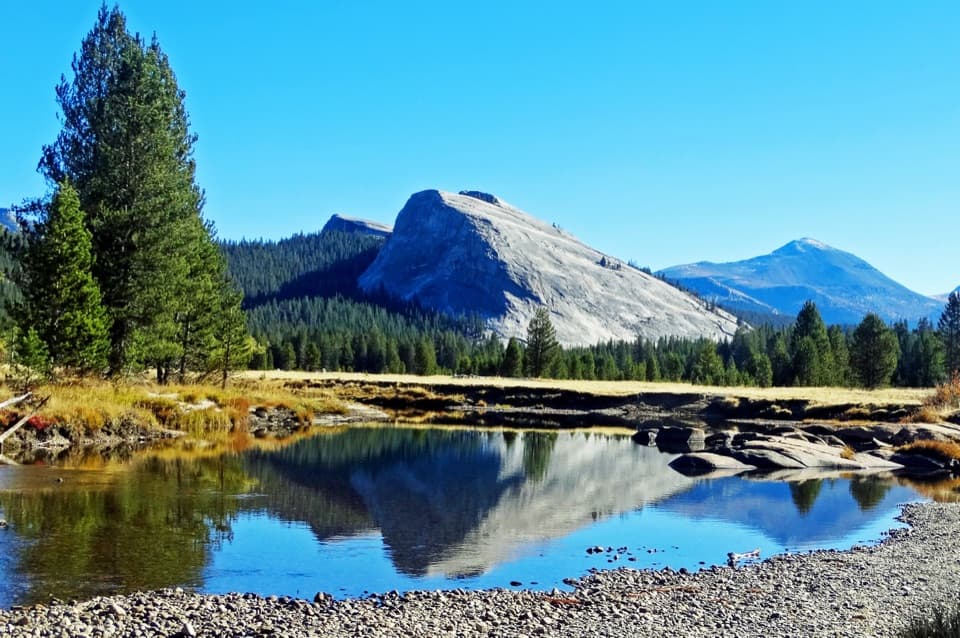 Sight · 9.9 mi awayLembert DomeA steep granite climb earns a wide-open Tuolumne panorama.
Parkwolf’s Yosemite ranking

The audio tour guide for the drive, plus offline maps, trails, and wildlife heatmaps for when the signal drops.





