Parking
Use the Long Pond south-shore parking area off Long Pond Road, opposite the municipal water pumping station. Follow Long Pond Trail about 0.2 mi to the Perpendicular junction.
Acadia National Park, ME
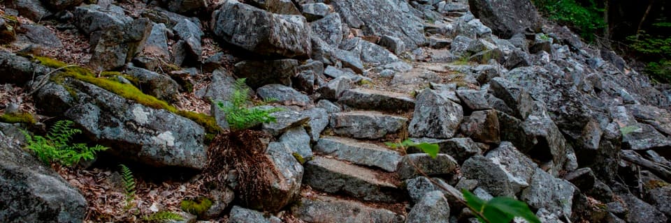
More than 300 granite steps climb Mansell's boulder slope.
Overview
Map & elevation
Plan your hike

The highest, rockiest slopes around here are a summer buffet for grizzly bears.
Acadia Tour Guide
Parkwolf is a GPS audio tour guide for Acadia National Park. As you drive, it chimes in with what’s ahead: hidden gems, upcoming stops, history, geology, and wildlife, right through your car’s speakers.
See the Acadia audio tourRecorded for this trailhead
Long Pond Access and Perpendicular Trail“You're approaching the access road for Long Pond's south shore and Perpendicular Trail, a steep climb up Mansell Mountain.”
Plays as you drive up to this trailhead in the Parkwolf Acadia Tour Guide.
More stories near here in the app
“…As we drove through Acadia it gave us a tour, which was really cool. Lots of great info about the parks and how to avoid the crowds. It’s a great travel companion!”


Trail guide
Perpendicular Trail is a steep out-and-back up Mansell Mountain’s west side, built around a granite staircase across a talus slope. From the Long Pond south-shore parking area, walk about 0.2 mile on Long Pond Trail to the junction, climb to the wooded summit area, and return the same way. That makes about 2 miles round trip, counting the access path both ways, before an optional viewpoint spur. Allow about 2 hours; stops or careful footing can make it longer. This is a strenuous hike with a concentrated climb, suited to hikers comfortable on irregular rock and built-in ladder hardware. Its appeal is the unusual trail craft and a view over Long Pond, not a summit panorama.
The walk begins on a gravel path along Long Pond. About 0.2 mile in, turn onto Perpendicular; it rises across a talus slope using more than 300 cut granite steps, several iron rungs, and a small ladder. You get glimpses of the pond through trees as the path gains height. The stairs are steep and uneven, and descending the same way means placing each step on the same stonework again. Wear closed-toe shoes with good traction; the tread is very uneven. The route is not accessible for mobility devices.
Just before the route leaves the rocky face, a short spur leads to an overlook toward Beech Mountain, Long Pond, and the outer islands. The summit follows in the woods and has no view, so do not pass the spur expecting a panorama at the high point. Give yourself enough time there. For a photo with context, include the pond in the foreground and Beech Mountain beyond instead of filling the frame only with stonework.
The Civilian Conservation Corps built Perpendicular Trail in 1933 and 1934. On the talus slope, workers laid flat boulders end to end to make a walking path, then added stone steps and ramps. They covered the stonework with local moss and planted ferns along its edge to help it blend into the hillside. Look at how the cut granite blocks weave through the boulders: the engineered passage is the main reason this short ascent feels different from a plain wooded summit walk.
To make a circuit instead of retracing the steps, follow the 2.7-mile Perpendicular and Razorback Loop. It uses the same Long Pond approach and Perpendicular climb, then descends the Razorback ridge to Gilley and returns via Cold Brook and Long Pond. Razorback is also steep and has ridge views before it enters forest; it is a different outing on additional named trails, not part of this 2-mile out-and-back. Use the parking area at Long Pond’s south end, opposite the municipal water pumping station; there is no public bus to this access. Dogs are prohibited on Perpendicular because of the steps, rungs, and ladder.
Wildlife
 131 sightingsBald EagleMost seen around noonSighting map
 21 sightingsPeregrine FalconMost seen around 10 AMSighting map
 397 sightingsWhite-tailed DeerMost seen around 7 PMSighting map
 307 sightingsPorcupineMost seen around 7 PMSighting map
 203 sightingsBeaverMost seen around 7 PMSighting map
 34 sightingsMinkMost seen around 7 PMSighting map
Sighting maps show where each species has been reported across Acadia. Wildlife moves, so no sighting is guaranteed.
Keep exploring
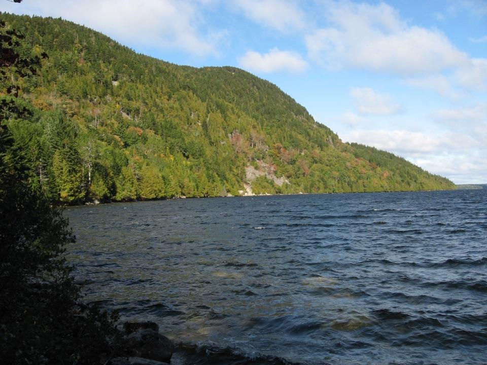 ModerateLong Pond Trail (Mount Desert Island)2.9 mi · 2 hr · At the trailheadDuck Rock opens a northward view over Long Pond.
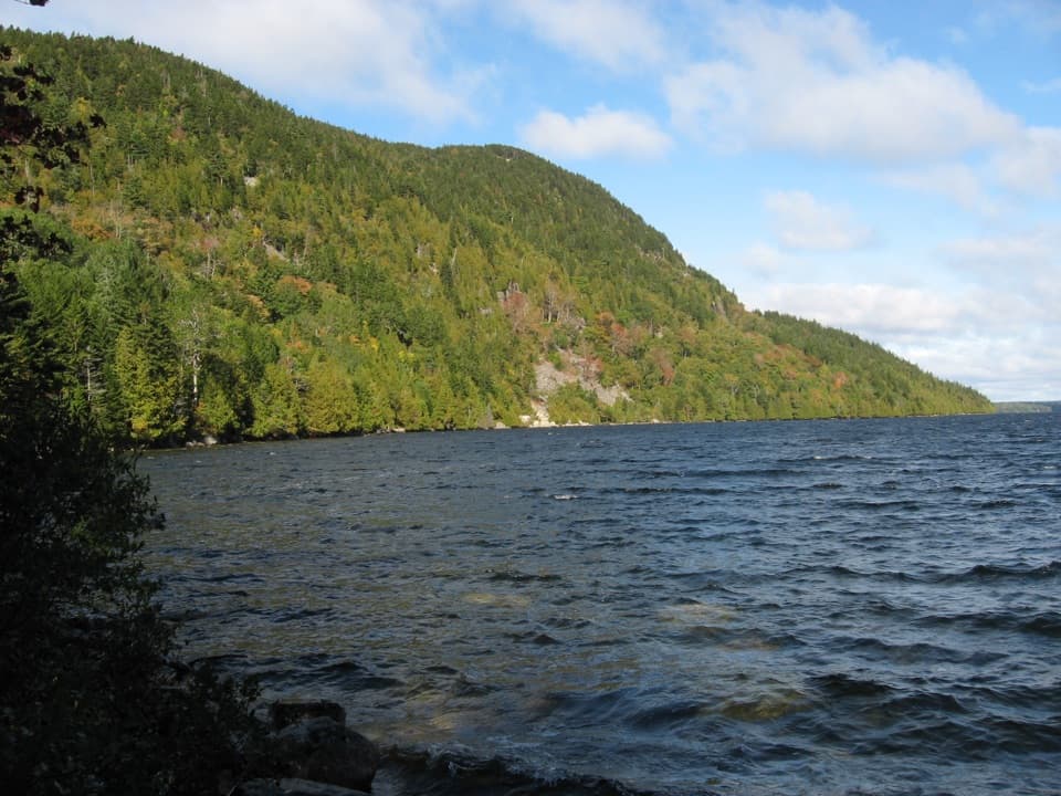 ChallengingWestern Mountain Loop3.8 mi · 2.5 hr · At the trailheadHundreds of granite steps climb to the Long Pond overlook.
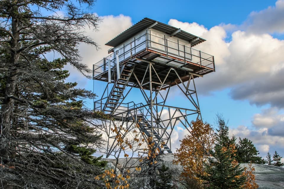 ModerateBeech Mountain West Ridge Trail2.1 mi · 1.8 hr · At the trailheadA rocky Long Pond climb to Beech Mountain’s fire tower.
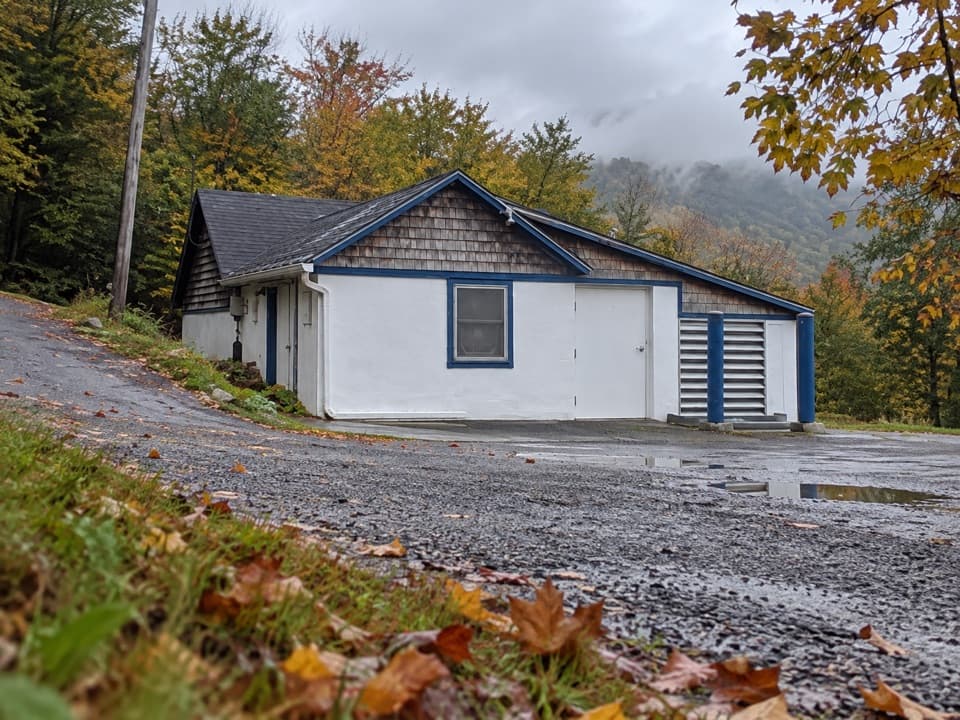 EasyCold Brook Trail0.4 mi · 18 min · At the trailheadA short wooded link between Long Pond and the Western Mountain trails.
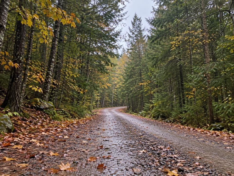 EasyWestern Mountain Connector0.9 mi · 21 min · 0.3 mi awayA short gravel link between Lurvey Spring and Western Mountain Road.
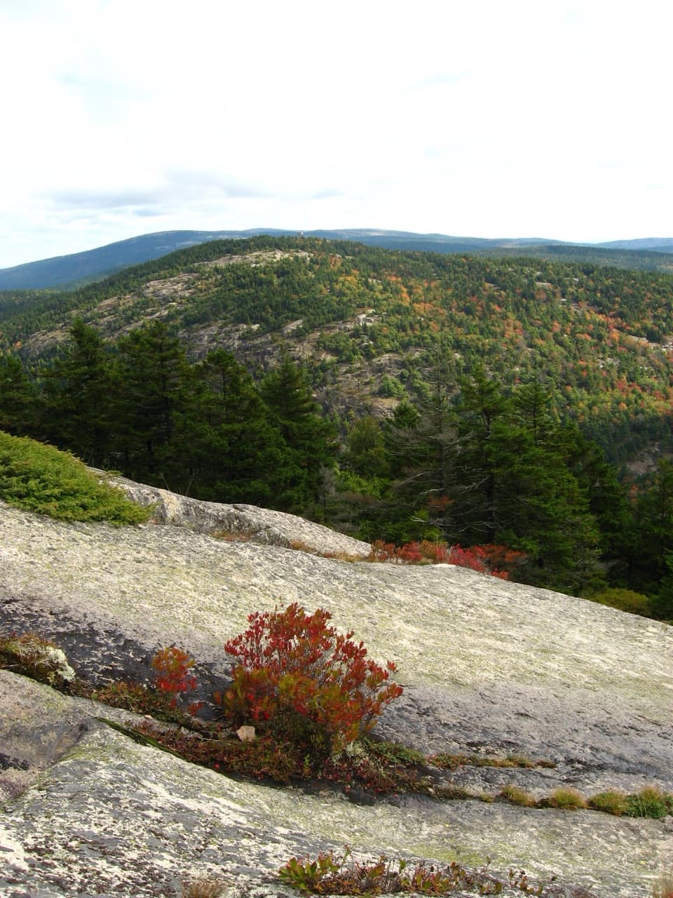 ModerateMansell Mountain Trail0.8 mi · 1 hr · 0.4 mi awayA direct granite climb to a small overlook toward Southwest Harbor.
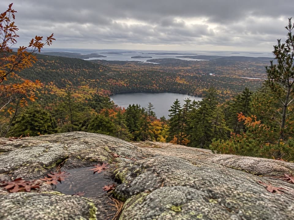 ModerateRazorback Trail2.1 mi · 2.3 hr · 0.4 mi awayA steep forest climb to an exposed granite ridgeline
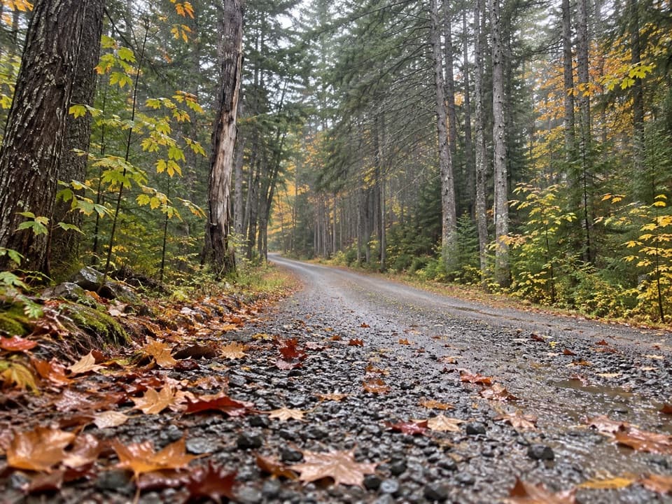 ModerateGilley Trail0.6 mi · 24 min · 0.4 mi awayA wooded climb linking Gilley Field with the Great Notch junction.
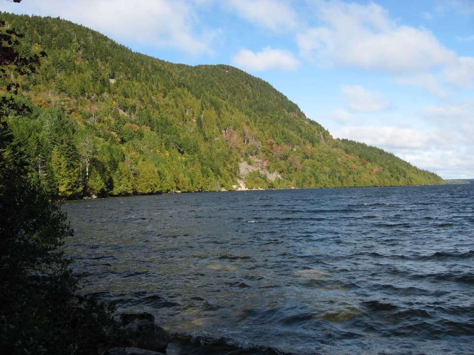 Sight · At the trailheadLong Pond South Boat LaunchA four-mile lake for paddling, away from coastal wind and tides.
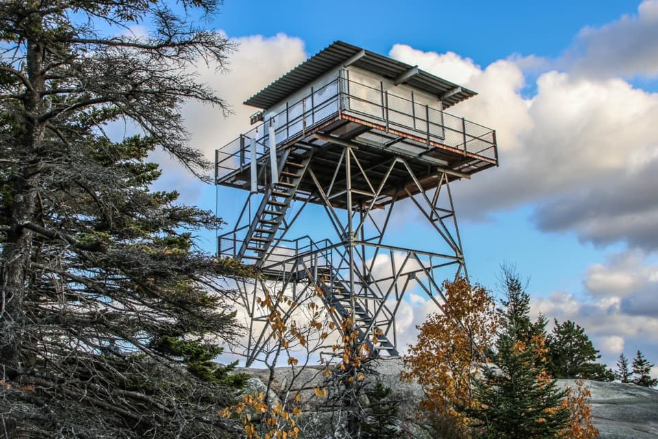 Sight · 0.8 mi awayBeech Mountain Fire TowerA steel lookout over Long Pond, ocean, and island peaks.
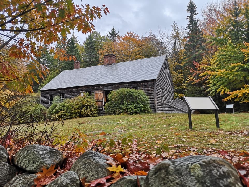 Sight · 1.2 mi awayCarroll HomesteadAn old farmhouse that brings Mount Desert Island's early years close.
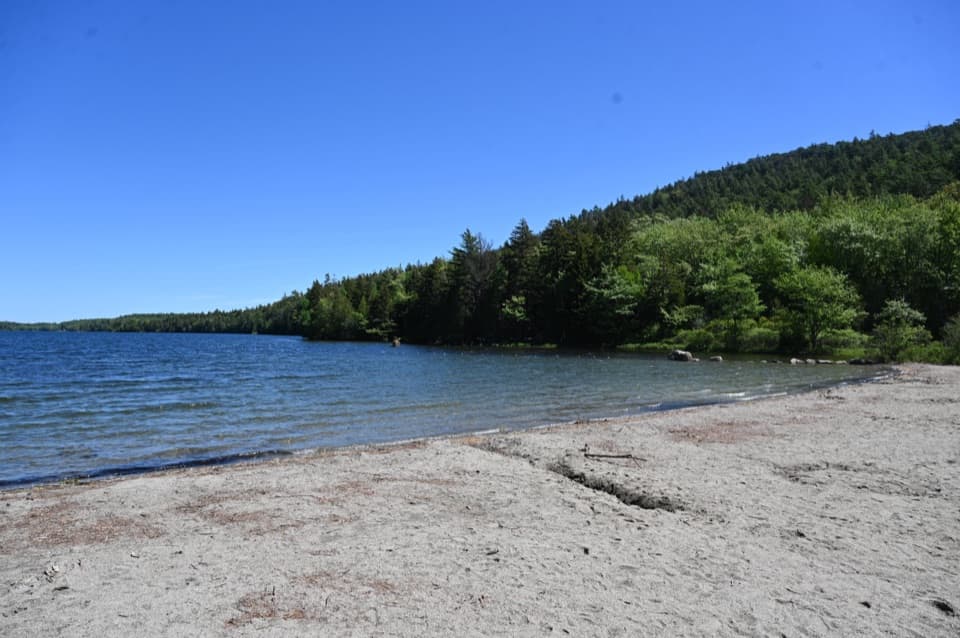 Beach · 1.3 mi awayEcho Lake BeachA sandy freshwater swim with a cliff view from shore.
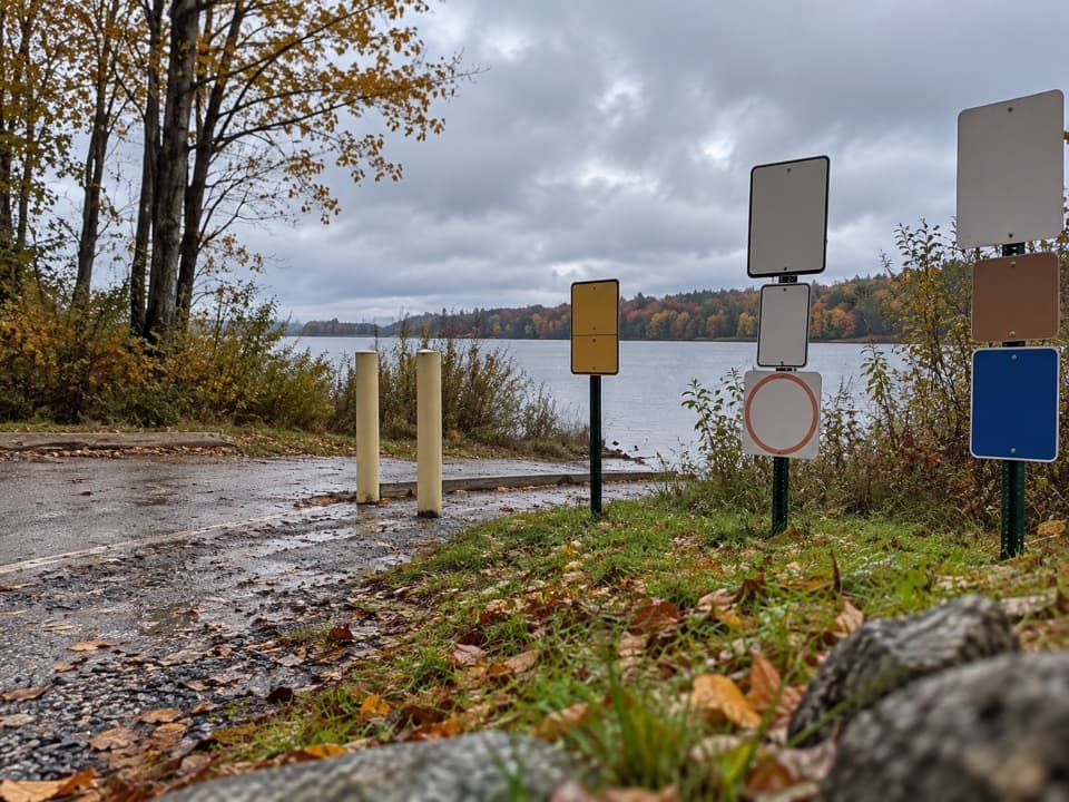 Sight · 1.9 mi awayIkes PointA paved launch puts canoes and kayaks straight onto Echo Lake.
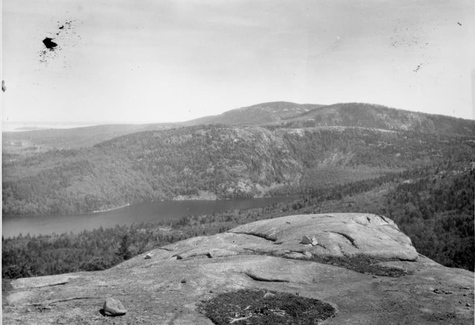 Sight · 2.1 mi awayAcadia MountainA rugged granite summit above Somes Sound
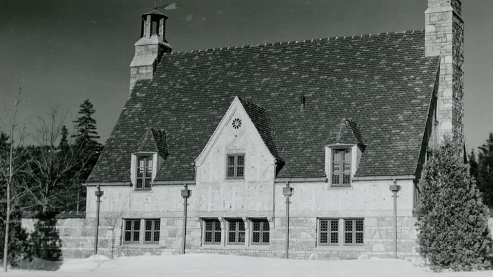 Sight · 3.3 mi awayBrown Mountain GatehouseA 1932 stone-and-brick gate marks the carriage-road entrance.
 Picnic area · 3.5 mi awayPretty Marsh Picnic AreaA quiet wooded lunch stop with a stairway to the harbor.
Parkwolf’s Acadia ranking

The audio tour guide for the drive, plus offline maps, trails, and wildlife heatmaps for when the signal drops.





