Pretty Marsh Picnic Area in Acadia National Park

Picnic area · Acadia National Park

Pretty Marsh Picnic Area

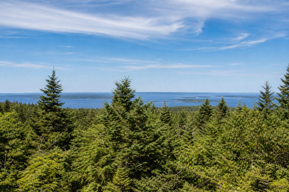
A quiet wooded lunch stop with a stairway to the harbor.

Photo: National Park Service
Type
Picnic area
Nearest trail
2.9 mi
Audio stories
7 nearby
  • Parking
  • Picnic tables
  • Restrooms
  • Scenic viewpoint

Hear the audio tour

Pretty Marsh’s Wooded Picnic Stop

Overview

About Pretty Marsh Picnic Area

Why stop

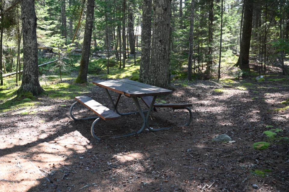
  • Acadia’s only covered picnic table, plus eight fireplaces.

Heads up

  • Steps and uneven footing separate the picnic sites from the rocky shore.

Map

Where it is

Loading the Acadia map
Full map
Picnic areaPretty Marsh Picnic Area44.33237, -68.40361
Keep this map with you offline in the Parkwolf app

Plan your stop

Before you go

Tables, pavilion, and access

Several picnic sites sit beside the drive. At the accessible site, there’s one accessible parking space, a wheelchair-accessible table, and a standing charcoal grill. The area also has a single-occupant accessible pit toilet, though its approach is unpaved. A small pavilion sits in the woods at the first left parking pull-off; the route to it has uneven ground and steps, so the accessible picnic site is the easier choice if steps are a problem.


4 active Acadia alerts

  • CautionAvoid water contact at Sand Beach LagoonDo not swim at Sand Beach Lagoon. - Bacterial levels have exceeded public-health standards, so the NPS has posted a Public Health Advisory.Official details
  • ClosureSchoodic Mountain Road closed for repairsSchoodic Mountain Road is closed from Schoodic Loop Road to the summit of Schoodic Head. - The closure began August 31 for resurfacing, regrading, and ditching.Official details
See all 4 alerts
A park ranger sits on a dash-mounted phone, talking, as Parkwolf’s Tour Guide plays “Army Cutworm Moths: A Grizzly Bear Buffet” on Grand Loop Road below Dunraven Pass in Yellowstone
Parkwolf Tour GuideThe highest, rockiest slopes around here are a summer buffet for grizzly bears.

Acadia Tour Guide

Your drive to Pretty Marsh Picnic Area, narrated.

Parkwolf is a GPS audio tour guide for Acadia National Park. As you drive, it chimes in with what’s ahead: hidden gems, upcoming stops, history, geology, and wildlife, right through your car’s speakers.

Recorded for this place

Pretty Marsh’s Wooded Picnic Stop
0:00 / 0:18
“Pretty Marsh Picnic Area is coming up, a wooded stop for your own picnic. It has Acadia's only covered picnic table, but no food service or running water.”

Plays as you drive up to Pretty Marsh Picnic Area in the Parkwolf Acadia Tour Guide.

More stories near here in the app

  • The Porcupine's Treetop Meal
  • The Moss That Builds a Bog
  • The Pitcher Plant's Tiny Pool
  • Why a Fox Stops to Listen
  • 116 audio storiesacross Acadia’s roads, triggered by GPS as you drive
  • Wildlife heatmapsfor Bald Eagle, Peregrine Falcon, White-tailed Deer, and 13 more
  • Works offlinemaps, 142 trails, 72 places, and audio download before you lose signal
  • CarPlay readysimple controls built for the drive
★★★★★
“…As we drove through Acadia it gave us a tour, which was really cool. Lots of great info about the parks and how to avoid the crowds. It’s a great travel companion!”
MyMysteryChicaApp Store review
Download Parkwolf on the App StoreGet Parkwolf on Google Play

4.7 from 8,600+ ratings

Guide

More about Pretty Marsh Picnic Area

A quiet west-side lunch stopPretty Marsh Picnic Area is a small roadside picnic area on Acadia’s wooded west side, off…

Pretty Marsh Picnic Area is a small roadside picnic area on Acadia’s wooded west side, off Route 102 between Somesville and Seal Cove. It’s one of the park’s six designated picnic areas, with 11 sites, eight fireplaces, and Acadia’s only covered picnic table. I’d keep it in mind for a relaxed lunch or a break on this side of Mount Desert Island. It opens seasonally; bring your own food and drinking water, since there’s no food service or running water. Parking is along the wooded access drive rather than in one large lot. Visitors describe only a few spaces, and the total capacity isn’t posted.

Down to Pretty Marsh HarborA wooded path and stairs lead toward the harbor’s rocky shore.

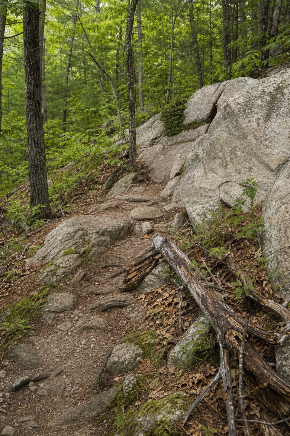
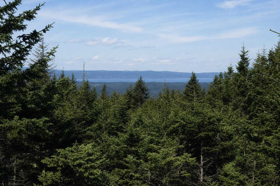
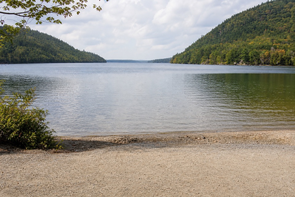
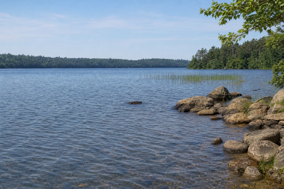
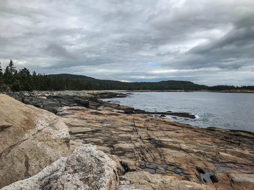
A wooded path and stairs lead toward the harbor’s rocky shore. It isn’t a sandy beach: the slope ends among stones and shell fragments, and the footing can be unstable. At lower tides, visitors look for tide pools. From the water’s edge, Bartlett Island lies to the west, and sunset is a recurring highlight. Take your time on the steps and rocks.

Wildlife

Wildlife in Acadia

All Acadia wildlife maps

Sighting maps show where each species has been reported across Acadia. Wildlife moves, so no sighting is guaranteed.

Keep exploring

Near Pretty Marsh Picnic Area

See it all on the map

Trails nearby

More stops nearby

Parkwolf’s Acadia ranking

Top sights in Acadia

All 72 places
  1. 1Cadillac MountainSight
  2. 2Jordan PondSight
  3. 3Sand BeachBeach
  4. 4Thunder HoleSight
  5. 5Bass Harbor Head Light StationSight
  6. 6Schoodic PointSight

Take Parkwolf to Acadia.

The audio tour guide for the drive, plus offline maps, trails, and wildlife heatmaps for when the signal drops.

4.7 from 8,600+ ratings

Download Parkwolf on the App StoreGet Parkwolf on Google Play