Western Mountain Loop in Acadia National Park

Acadia National Park, ME

Western Mountain Loop

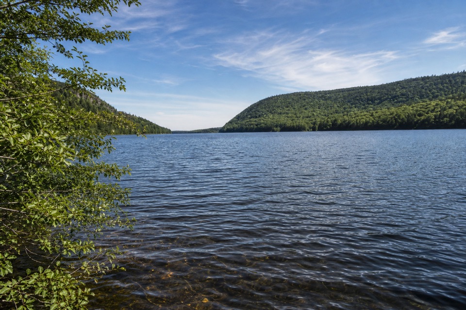
Hundreds of granite steps climb to the Long Pond overlook.

Length
3.8mi
Time
2.5hr
Elev. change
974ft
Difficulty
Challenging
  • Loop
  • Dogs allowed
  • High point 1,033 ft

Hear the audio tour

Long Pond Access and Perpendicular Trail

Overview

About Western Mountain Loop

Why go

  • More than 300 cut granite steps on a historic trail
  • One compact circuit visits both Mansell and Bernard

Heads up

  • Steep stairs, rungs, a ladder and rooty cliffside footing
  • Few views beyond the short Perpendicular overlook spur

Map & elevation

The route

Loading the Acadia map
Full map
Elevation59–1,033 ft
TrailheadLong Pond south parking and boat launch44.30011, -68.35030
Keep this map with you offline in the Parkwolf app

Plan your hike

Before you go

Parking

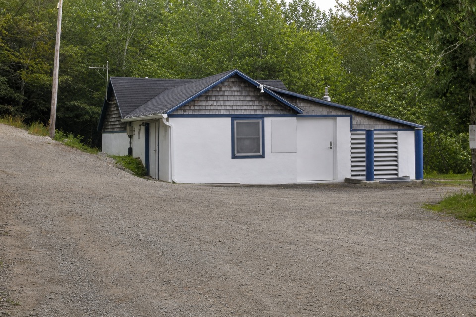
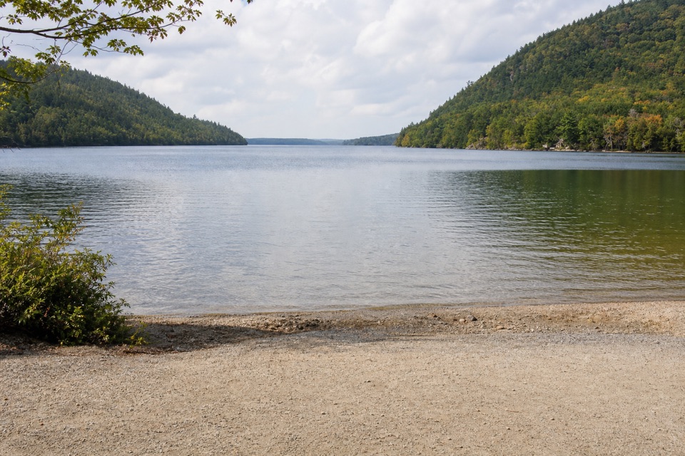
Use the parking and boat-launch area at the end of Long Pond Road in Southwest Harbor. Long Pond Trail starts at the west end of the lot, behind the municipal water pumping station. The route returns via Gilley Field parking and Cold Brook. Lot capacity and fees are not stated by the park.


Safety

This route is not accessible. Perpendicular has more than 300 steep granite steps, iron rungs and a small ladder; the Bernard climb crosses roots and cliffs. Dogs are allowed only on a leash no longer than 6 feet, but the park discourages pets on this route. A park entrance pass is required year round. There is no accessible restroom at the trailhead.

4 active Acadia alerts

  • CautionAvoid water contact at Sand Beach LagoonDo not swim at Sand Beach Lagoon. - Bacterial levels have exceeded public-health standards, so the NPS has posted a Public Health Advisory.Official details
  • ClosureSchoodic Mountain Road closed for repairsSchoodic Mountain Road is closed from Schoodic Loop Road to the summit of Schoodic Head. - The closure began August 31 for resurfacing, regrading, and ditching.Official details
See all 4 alerts
A park ranger sits on a dash-mounted phone, talking, as Parkwolf’s Tour Guide plays “Army Cutworm Moths: A Grizzly Bear Buffet” on Grand Loop Road below Dunraven Pass in Yellowstone
Parkwolf Tour GuideThe highest, rockiest slopes around here are a summer buffet for grizzly bears.

Acadia Tour Guide

Your drive to Western Mountain Loop, narrated.

Parkwolf is a GPS audio tour guide for Acadia National Park. As you drive, it chimes in with what’s ahead: hidden gems, upcoming stops, history, geology, and wildlife, right through your car’s speakers.

Recorded for this trailhead

Long Pond Access and Perpendicular Trail
0:00 / 0:32
“You're approaching the access road for Long Pond's south shore and Perpendicular Trail, a steep climb up Mansell Mountain.”

Plays as you drive up to this trailhead in the Parkwolf Acadia Tour Guide.

More stories near here in the app

  • The Flower That Makes Heat
  • Gilley Field and Razorback Ridge
  • Mill Field and Bernard Mountain’s Forest Loop
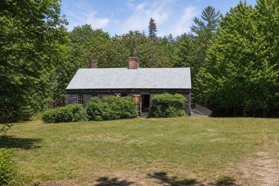
  • Carroll Homestead’s Seafaring Family
  • 116 audio storiesacross Acadia’s roads, triggered by GPS as you drive
  • Wildlife heatmapsfor Bald Eagle, Peregrine Falcon, White-tailed Deer, and 13 more
  • Works offlinemaps, 142 trails, 72 places, and audio download before you lose signal
  • CarPlay readysimple controls built for the drive
★★★★★
“…As we drove through Acadia it gave us a tour, which was really cool. Lots of great info about the parks and how to avoid the crowds. It’s a great travel companion!”
MyMysteryChicaApp Store review
Download Parkwolf on the App StoreGet Parkwolf on Google Play

4.7 from 8,600+ ratings

Trail guide

Hiking Western Mountain Loop

Is this the right loop?This 3.

This 3.8-mile round-trip circuit links the south end of Long Pond with Mansell and Bernard Mountains. Allow 2 to 3 hours. It is short but challenging: Perpendicular climbs more than 300 cut granite steps, and the circuit adds iron rungs, a small ladder, roots and steep cliffside footing. Choose it for the historic stairway and two-summit circuit, not continuous views; the best panorama is a short spur above Long Pond. Acadia requires an entrance pass year round, though this hike has no activity fee or reservation requirement.

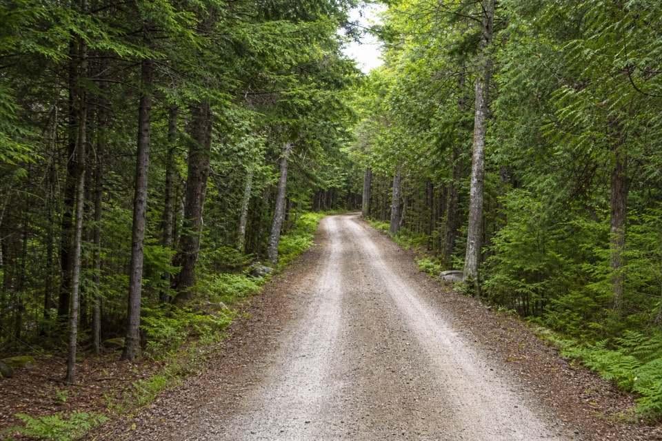
Climb Mansell by PerpendicularStart on Long Pond Trail at the west end of the south parking area. After about 0.

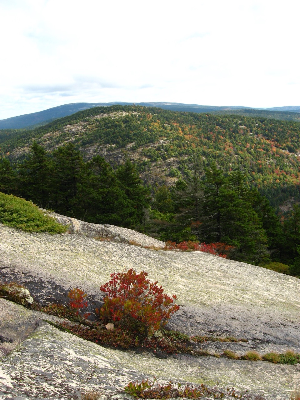
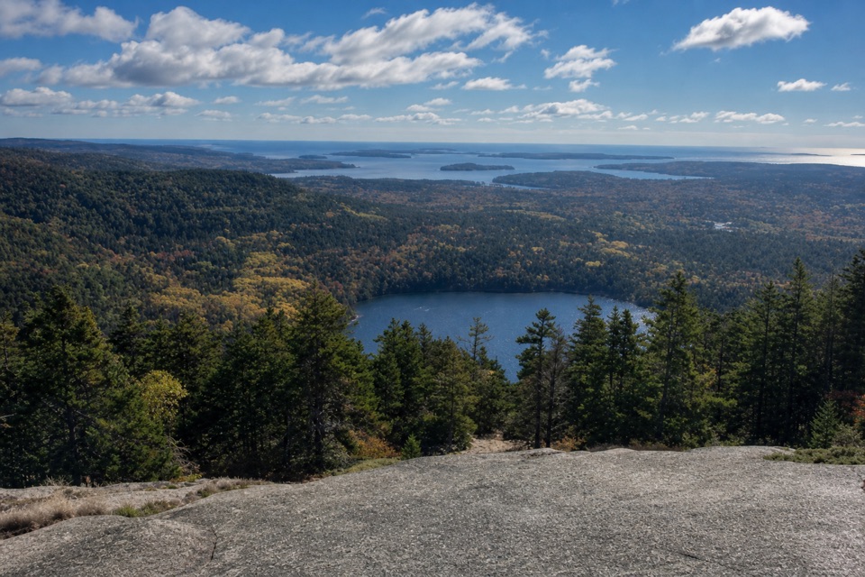
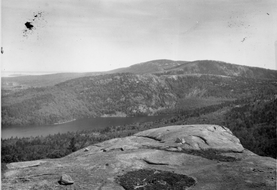
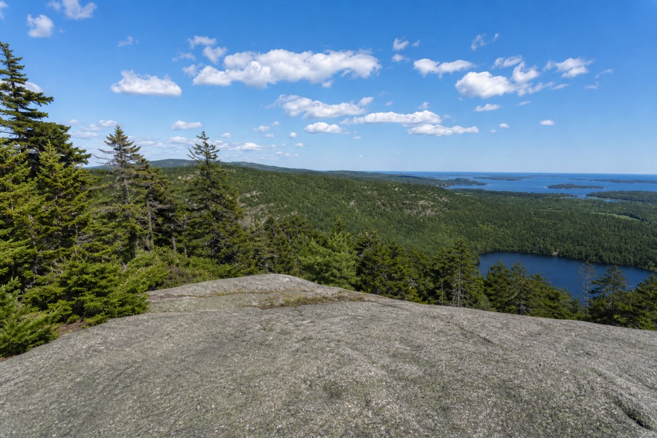
Start on Long Pond Trail at the west end of the south parking area. After about 0.2 mile, turn left at the second junction onto Perpendicular Trail. Iron rungs, a short ladder and more than 300 cut granite steps climb the steep face of Mansell. Long Pond appears between the trees. Just before the trail turns away from the face, a short spur opens toward Beech Mountain, Long Pond and the outlying islands. The summit itself is wooded, with no view.

Cross to BernardContinue past Mansell's summit, turn right onto Mansell Mountain Trail, then right onto…

Continue past Mansell's summit, turn right onto Mansell Mountain Trail, then right onto Razorback. Bear right at its next junction to reach Great Notch and continue straight onto Bernard Mountain Trail. This steep 0.4-mile climb crosses roots and cliffs, passing Knight Nubble. At the Little Notch junction with Sluiceway, continue straight another 0.2 mile to Bernard's 1,071-foot summit. It is mostly wooded with minimal views, so return to the junction.

Close the loop by Gilley and Cold BrookTurn right onto Sluiceway and descend about 0.5 mile.

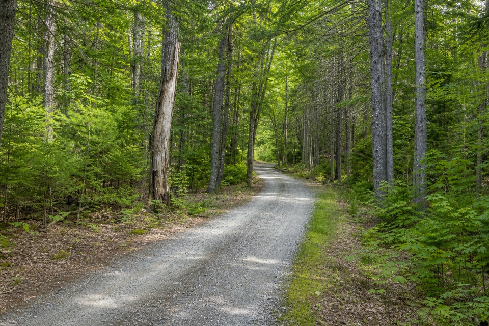
Turn right onto Sluiceway and descend about 0.5 mile. Turn left on Gilley, then right on Great Notch shortly afterward. Keep right at the Razorback and Mansell Mountain junctions until Gilley Field parking. Cross that lot and follow Cold Brook back to the south Long Pond parking area. The trailhead is at the west end of the lot, behind the municipal water pumping station.

A CCC-built trailThe Perpendicular Trail was built by the Civilian Conservation Corps.

The Perpendicular Trail was built by the Civilian Conservation Corps. A CCC camp stood just south of Long Pond in 1933, and west-side crews expanded Acadia's trail system on newly acquired lands. The stone stairway is the route's signature feature; do not expect an open summit view at either end of the climb.

Wildlife

Wildlife in Acadia

All Acadia wildlife maps

Sighting maps show where each species has been reported across Acadia. Wildlife moves, so no sighting is guaranteed.

Keep exploring

Near Western Mountain Loop

See it all on the map

Trails that start nearby

Places near the trailhead

Parkwolf’s Acadia ranking

Top-rated trails in Acadia

All 142 trails
  1. 1Beehive Loop TrailChallenging · 1.4 mi
  2. 2Precipice TrailChallenging · 2.1 mi
  3. 3Jordan Pond PathModerate · 3.3 mi
  4. 4Bubbles TrailModerate · 1.5 mi
  5. 5Ocean PathEasy · 2.2 mi
  6. 6Cadillac Mountain South Ridge TrailChallenging · 7.8 mi

Take Parkwolf to Acadia.

The audio tour guide for the drive, plus offline maps, trails, and wildlife heatmaps for when the signal drops.

4.7 from 8,600+ ratings

Download Parkwolf on the App StoreGet Parkwolf on Google Play