Parking
Start at Gilley Field Trailhead on Western Mountain Road, reached from Route 102 via Seal Cove Road and a short connector. Parking capacity and fill pattern were not found.
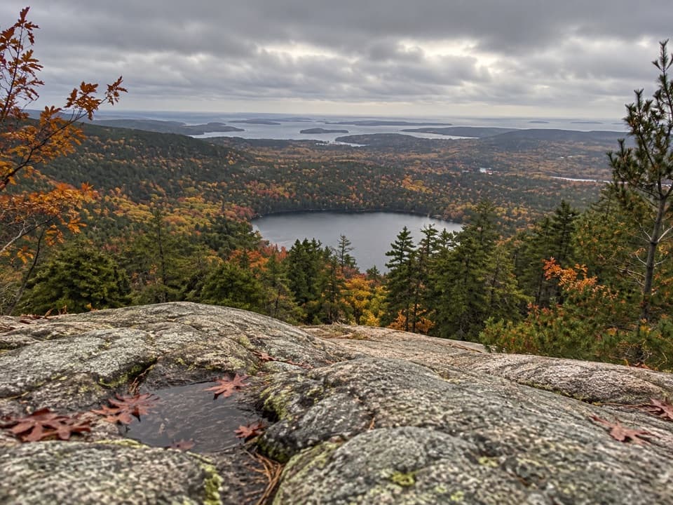
Acadia National Park, ME
A steep forest climb to an exposed granite ridgeline
Overview
Map & elevation
Plan your hike

The highest, rockiest slopes around here are a summer buffet for grizzly bears.
Acadia Tour Guide
Parkwolf is a GPS audio tour guide for Acadia National Park. As you drive, it chimes in with what’s ahead: hidden gems, upcoming stops, history, geology, and wildlife, right through your car’s speakers.
See the Acadia audio tourRecorded for this trailhead
Gilley Field and Razorback Ridge“You're nearing Gilley Field, the trailhead for Razorback's open granite ridge on Mansell Mountain. The two point one mile loop takes an hour and a half to three hours, with a steep forest climb and exposed, uneven rock.”
Plays as you drive up to this trailhead in the Parkwolf Acadia Tour Guide.
More stories near here in the app
“…As we drove through Acadia it gave us a tour, which was really cool. Lots of great info about the parks and how to avoid the crowds. It’s a great travel companion!”


Trail guide
Razorback is best walked as a 2.1-mile loop from Gilley Field, typically 1.5–3 hours with about 680 feet of climbing. Follow the Gilley Trail for roughly 0.1 mile, climb the Razorback ridge, then return through Great Notch on the Great Notch and Gilley trails. The 2.1 miles here includes that access and the full return. A separate trail listing gives Razorback itself as 1.1 miles but does not say whether that is one-way or round-trip.
Razorback starts under forest and climbs steeply on Mansell Mountain’s southwest side. The trees open onto an exposed granite spine, with views west toward Bernard Mountain and south toward the Atlantic. Look back as you climb. Glaciers polished Acadia’s exposed granite and cut its valleys; this ridge makes the contrast between bare rock and wooded folds easy to see.
Razorback does not reach Mansell’s marked summit. A connector at the ridge joins the Mansell Mountain Trail; the summit detour takes about 30 minutes as a side trip and ends at a wooded marker without a view. The open ridge is the main payoff.
Continue northwest along the granite formations until Razorback drops into the wooded Great Notch, the valley between Mansell Mountain and Knight Nubble where several trails meet. Follow the Great Notch Trail south and rejoin Gilley Trail for the return to the same parking area.
Gilley Field Trailhead is reached from Route 102 via Seal Cove Road, a short connector road and Western Mountain Road; it is separate from the Long Pond trailhead. Do not confuse this loop with the 2.7-mile Long Pond–Perpendicular route, which climbs more than 300 granite steps and includes iron rungs and a ladder. A park entrance pass is required year-round. Dogs are allowed on this loop on a leash no longer than six feet; pets are prohibited on Perpendicular. Parking capacity, restrooms and potable water at Gilley Field were not found.
Wildlife
 131 sightingsBald EagleMost seen around noonSighting map
 21 sightingsPeregrine FalconMost seen around 10 AMSighting map
 403 sightingsWhite-tailed DeerMost seen around 7 PMSighting map
 307 sightingsPorcupineMost seen around 7 PMSighting map
 205 sightingsBeaverMost seen around 7 PMSighting map
 34 sightingsMinkMost seen around 7 PMSighting map
Sighting maps show where each species has been reported across Acadia. Wildlife moves, so no sighting is guaranteed.
Keep exploring
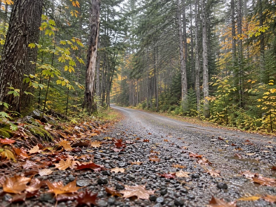 ModerateGilley Trail0.6 mi · 24 min · At the trailheadA wooded climb linking Gilley Field with the Great Notch junction.
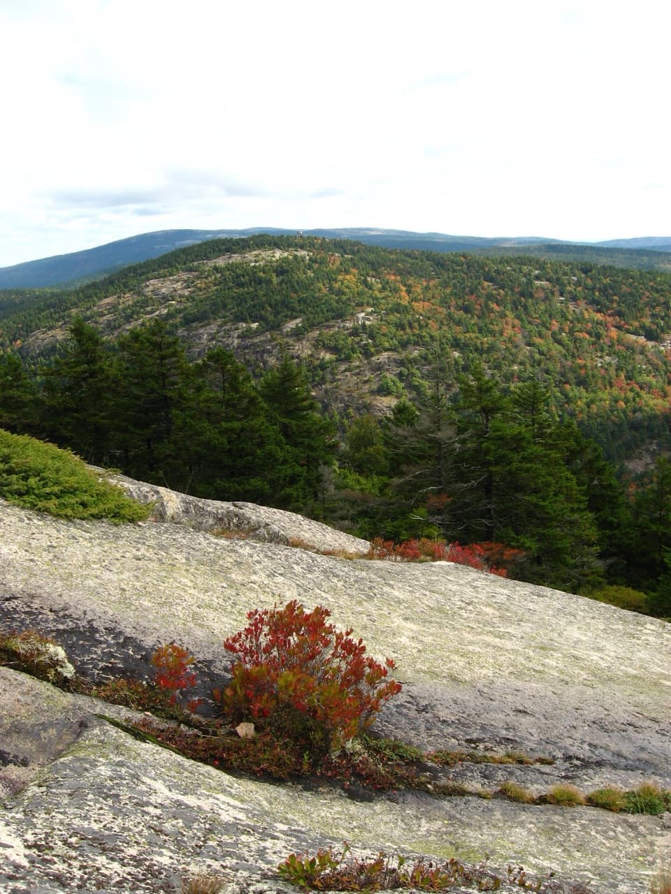 ModerateMansell Mountain Trail0.8 mi · 1 hr · At the trailheadA direct granite climb to a small overlook toward Southwest Harbor.
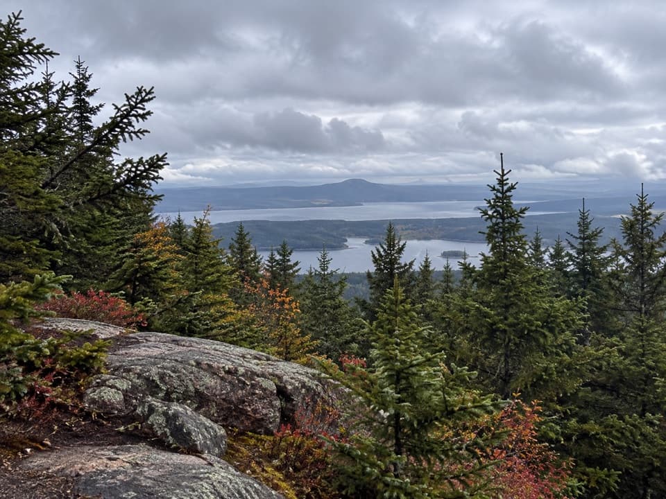 ModerateBernard Mountain Trail2.5 mi · 2.5 hr · 0.3 mi awayA 2.5-mile loop to a wooded summit and an occasional west view.
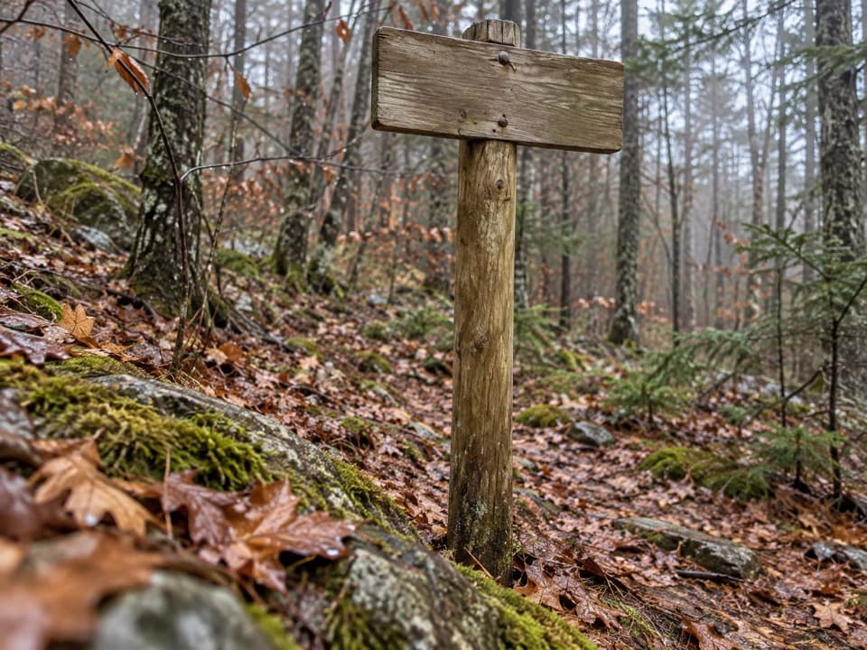 ModerateSluiceway Trail0.9 mi · 1 hr · 0.3 mi awayA short, steep wooded climb into the Bernard Mountain trail network.
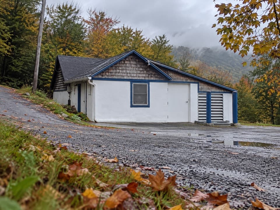 EasyCold Brook Trail0.4 mi · 18 min · 0.4 mi awayA short wooded link between Long Pond and the Western Mountain trails.
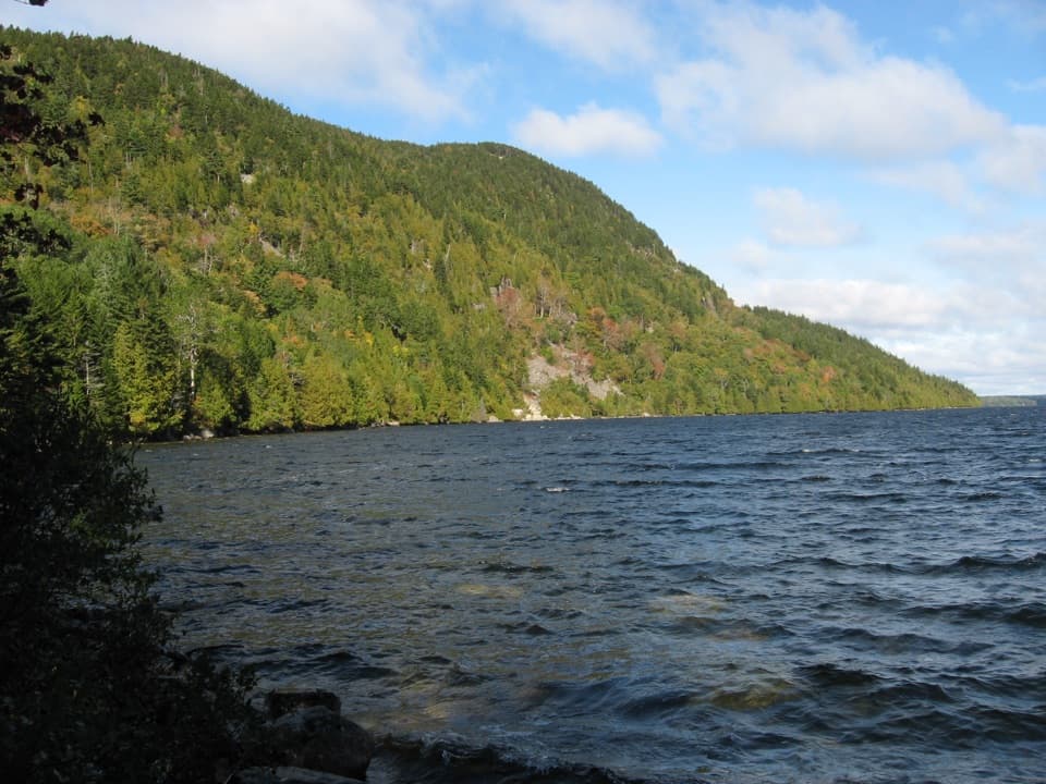 ChallengingWestern Mountain Loop3.8 mi · 2.5 hr · 0.4 mi awayHundreds of granite steps climb to the Long Pond overlook.
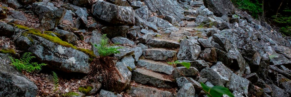 ChallengingPerpendicular Trail2 mi · 2 hr · 0.4 mi awayMore than 300 granite steps climb Mansell's boulder slope.
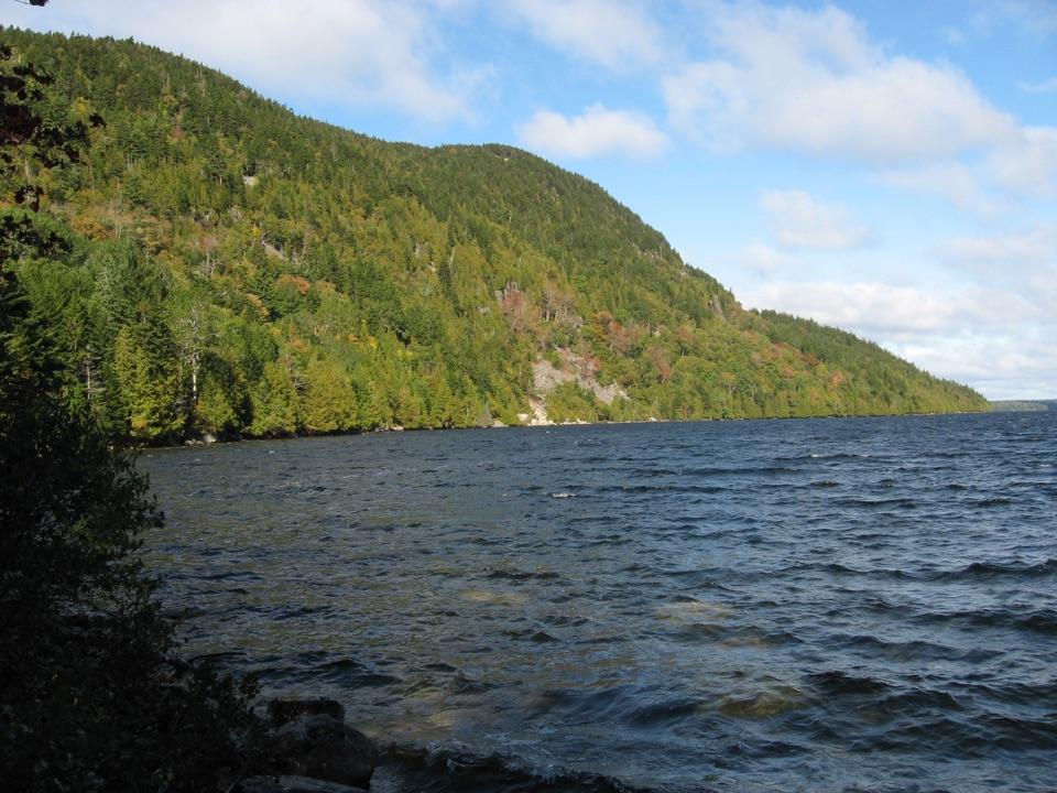 ModerateLong Pond Trail (Mount Desert Island)2.9 mi · 2 hr · 0.4 mi awayDuck Rock opens a northward view over Long Pond.
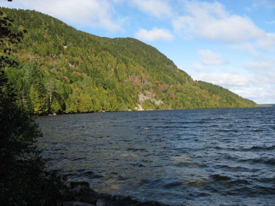 Sight · 0.4 mi awayLong Pond South Boat LaunchA four-mile lake for paddling, away from coastal wind and tides.
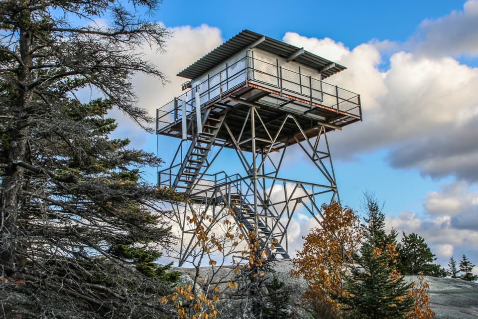 Sight · 1.2 mi awayBeech Mountain Fire TowerA steel lookout over Long Pond, ocean, and island peaks.
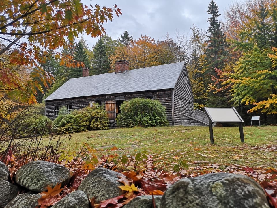 Sight · 1.6 mi awayCarroll HomesteadAn old farmhouse that brings Mount Desert Island's early years close.
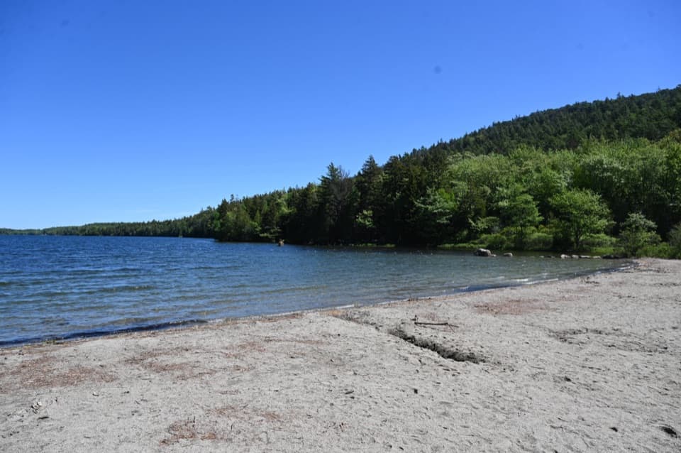 Beach · 1.7 mi awayEcho Lake BeachA sandy freshwater swim with a cliff view from shore.
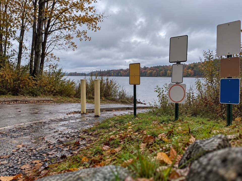 Sight · 2.3 mi awayIkes PointA paved launch puts canoes and kayaks straight onto Echo Lake.
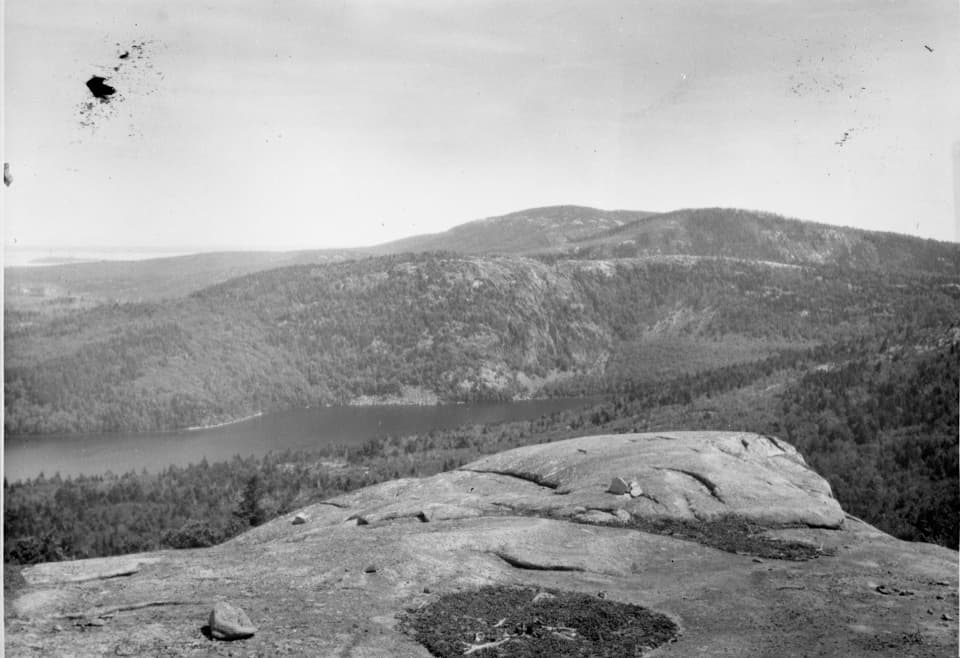 Sight · 2.5 mi awayAcadia MountainA rugged granite summit above Somes Sound
 Picnic area · 3.4 mi awayPretty Marsh Picnic AreaA quiet wooded lunch stop with a stairway to the harbor.
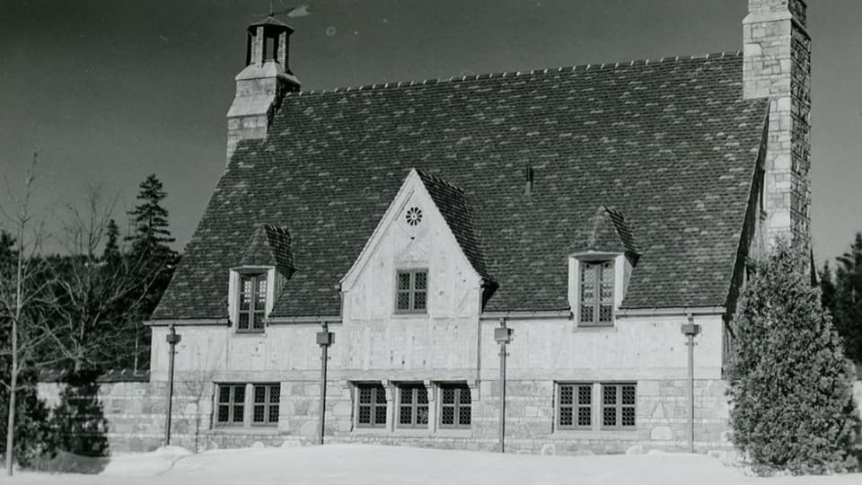 Sight · 3.7 mi awayBrown Mountain GatehouseA 1932 stone-and-brick gate marks the carriage-road entrance.
Parkwolf’s Acadia ranking

The audio tour guide for the drive, plus offline maps, trails, and wildlife heatmaps for when the signal drops.





