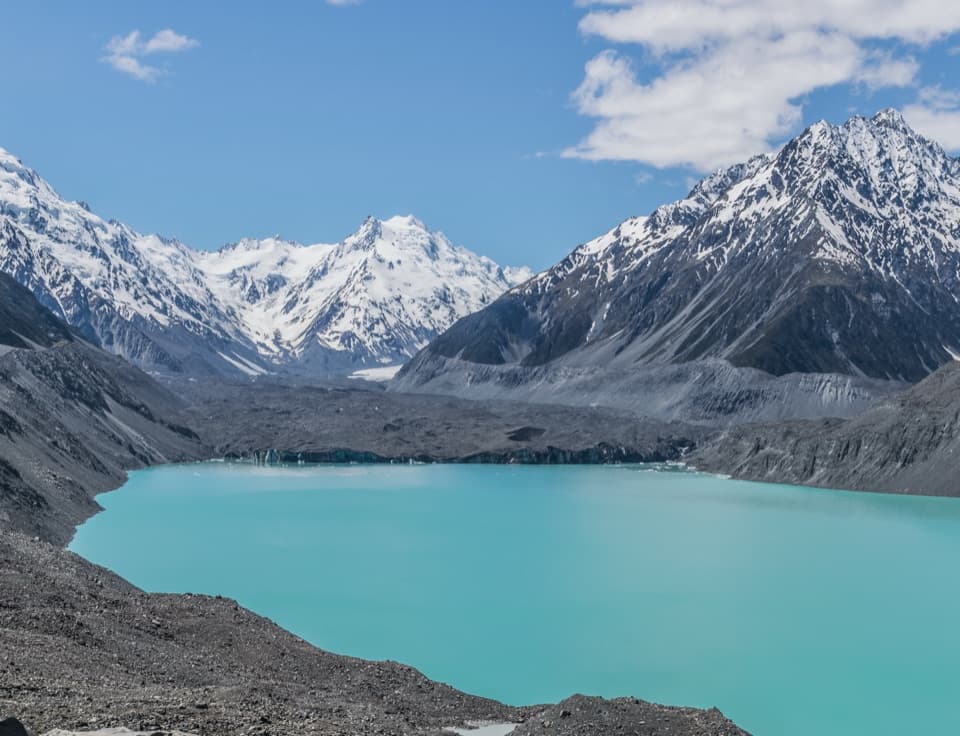
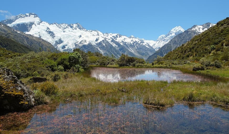
Parking
Start at White Horse Hill car park at the end of Hooker Valley Road. The campground has a public shelter with treated drinking water and wheelchair-accessible toilets; DOC manages paid parking.
#8 of 15 trails in Aoraki / Mount Cook
Aoraki / Mount Cook National Park, SI
A restored 1910 mountaineering hut at the end of an alpine walk.
Overview
Map & elevation
Plan your hike

The highest, rockiest slopes around here are a summer buffet for grizzly bears.
Aoraki / Mount Cook Tour Guide
Parkwolf is a GPS audio tour guide for Aoraki / Mount Cook National Park. As you drive, it chimes in with what’s ahead: hidden gems, upcoming stops, history, geology, and wildlife, right through your car’s speakers.
Recorded for this trailhead
Hooker Valley and the Walk to Hooker Lake“You're approaching the access to Hooker Valley, where the main walk ends at Hooker Lake beneath Aoraki.”
Plays as you drive up to this trailhead in the Parkwolf Aoraki / Mount Cook Tour Guide.
More stories near here in the app
“Fantastic app with many points of information… It’s great to just turn on while you’re driving and it gives you an audio tour of the national Park. We love it!!!!”


Trail guide
Hooker Hut Track is about 8.7 km (5.4 mi) out and back from White Horse Hill car park to the relocated historic hut. It follows the gravel Hooker Valley Track for most of the approach, then leaves it at Stocking Stream for a marked, unformed tussock route. Plan on about four hours round trip. Choose this for the hut and its story; if you want a straightforward valley walk, the Hooker Lake route is an easier fit.
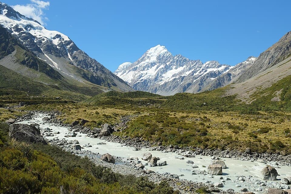
The gravel path and steps pass the Freda’s Rock and Alpine Memorial side tracks and Mueller Lookout before the first swing bridge. It continues over rocky moraine, past Kakīroa/Mount Sefton View Lookout and across a 189-metre suspension bridge. Beyond the bridge the valley floor opens into tussock. Toilets by Stocking Stream mark the hut turnoff, just after the boardwalk begins. Turn toward the hut here; the Hooker Lake track continues farther up the valley.
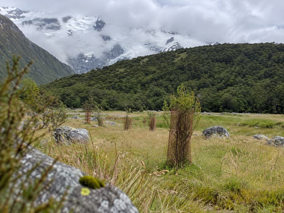
At Stocking Stream, leave the formed track to the left and keep to the true right of the riverbed. Watch for the orange marker at a sharp left turn, then follow the poles. The tussock section has no continuous worn tread, so it takes more attention than the easy valley path. If the markers stop making sense, pause and retrace to the last one. Return the same way.
Hooker Hut opened in 1910 as a base for mountaineers crossing Copland Pass and climbing nearby peaks. It first stood beside Hooker Glacier. Cracking moraine led to several moves, and the hut was eventually dismantled and flown out of the valley in 2015. It was reassembled at its present site and restored from 2020 to 2021. It remains the oldest hut in Aoraki / Mount Cook National Park, with a famous alpine ghost story attached to it.
This is an alpine valley where weather changes fast. Snow can affect hut access, shaded track sections can ice over, and DOC closes the shared Hooker Valley Track in strong winds or heavy rain. Dogs are not permitted on the Hooker Valley Track. An overnight stay at the eight-bunk hut needs a booking; backcountry hut passes and tickets are not accepted. The hut has a gas cooker, fireplace and detached toilet, but bring your own food. The woodshed key is collected from the Visitor Centre.
Wildlife
 139 sightingsKeaMost seen around 9 AMSighting map
 73 sightingsRockwrenMost seen around 10 AMSighting map
 46 sightingsNew Zealand FalconMost seen around 10 AMSighting map
 15 sightingsKererūMost seen around 9 AMSighting map
 16 sightingsBellbirdMost seen around 7 AMSighting map
 33 sightingsBlack-fronted TernMost seen around 5 PMSighting map
Sighting maps show where each species has been reported across Aoraki / Mount Cook. Wildlife moves, so no sighting is guaranteed.
Keep exploring
 EasyAlps 2 Ocean Cycle Trail: White Horse Hill to Mount Cook Airport8 km · 2.3 hr · At the trailheadA gentle Tasman Valley descent, with the Alps behind you.
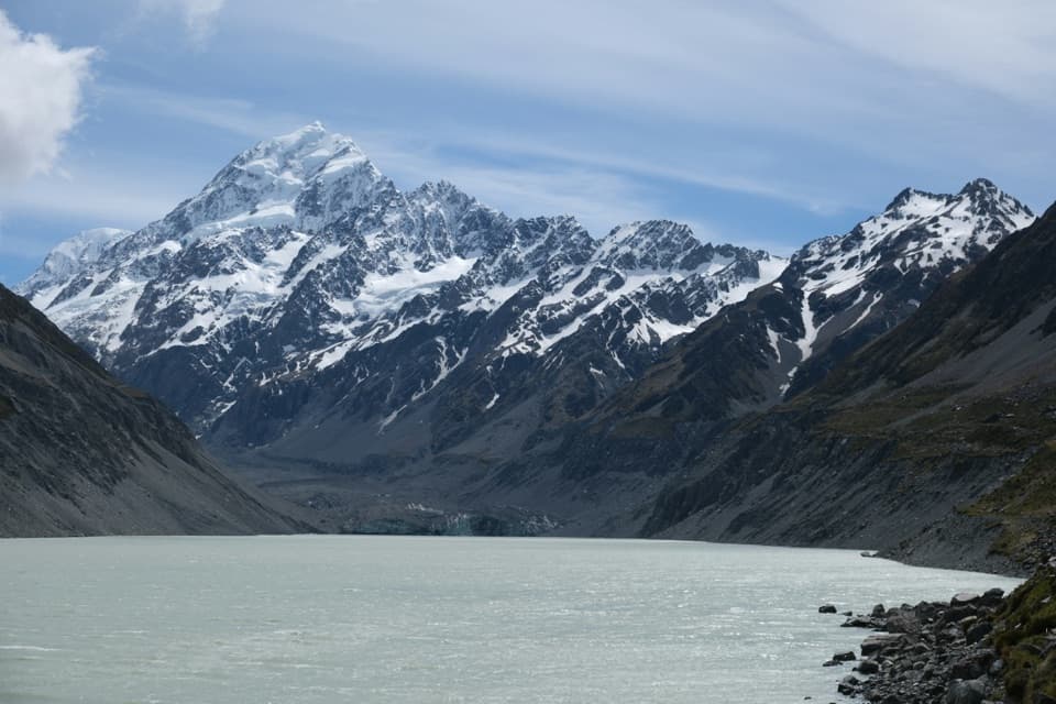 ModerateHooker Valley Track10 km · 3.5 hr · At the trailheadThree swing bridges lead to a glacier lake beneath Aoraki.
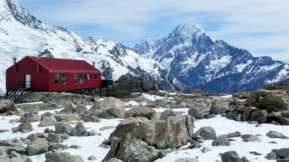 ChallengingMueller Hut Route10.4 km · 8 hr · 0.1 km awayA steep climb to a red hut above glaciers and ice cliffs.
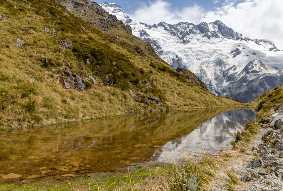 ChallengingSealy Tarns Track5.3 km · 3.5 hr · 0.1 km awayA steep stair climb to small tarns and a wide alpine panorama
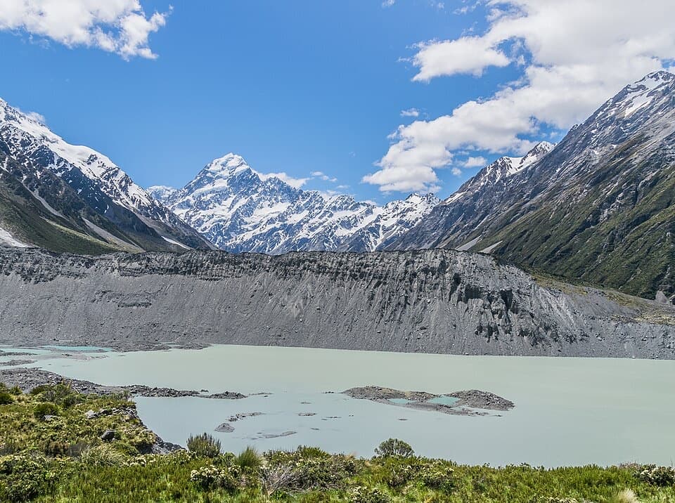 EasyKea Point Track3.1 km · 1.3 hr · 0.2 km awayA short climb to a deck above Mueller Lake and the moraine.
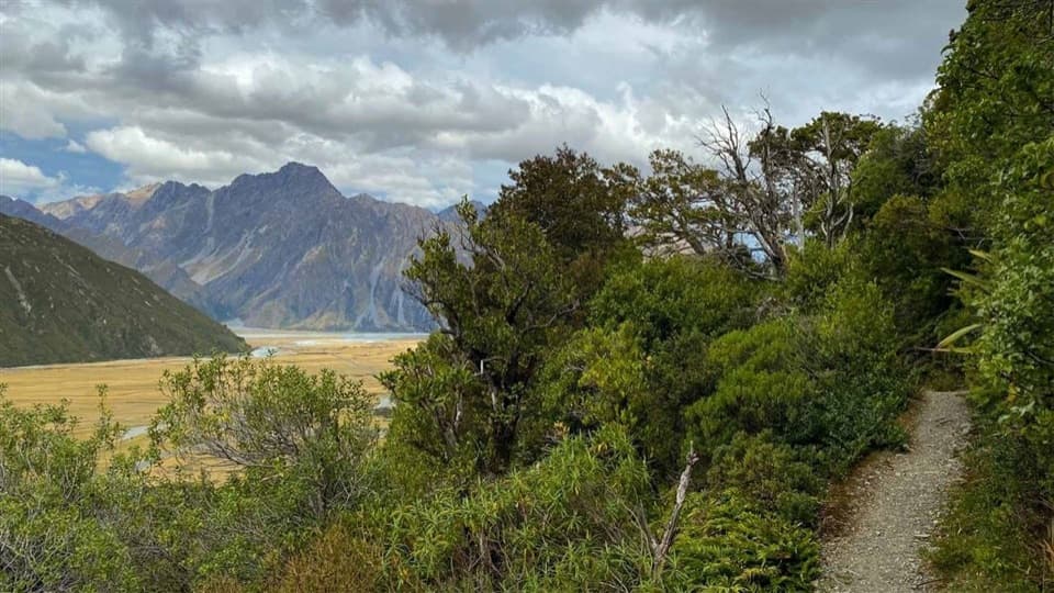 EasyGlencoe Walk0.6 km · 30 min · 1.6 km awayA short bush climb for a village, glacier and Aoraki view.
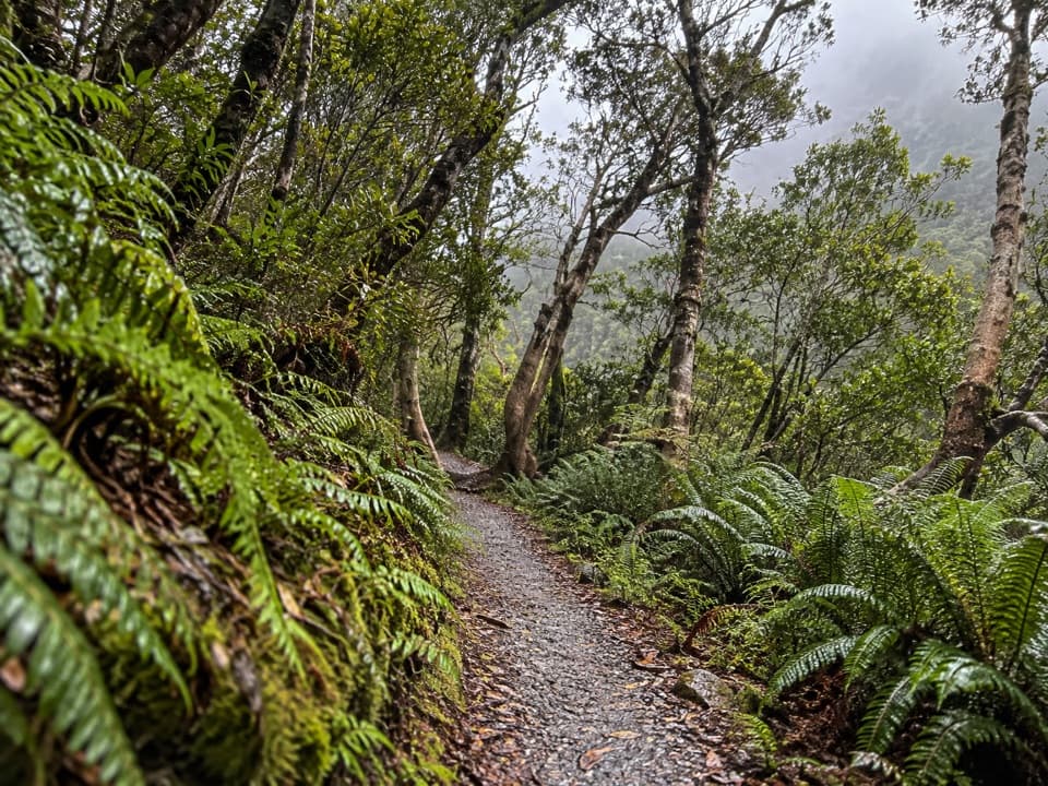 EasyBowen Bush Walk0.2 km · 10 min · 1.9 km awayA quick native-bush loop steps from the village.
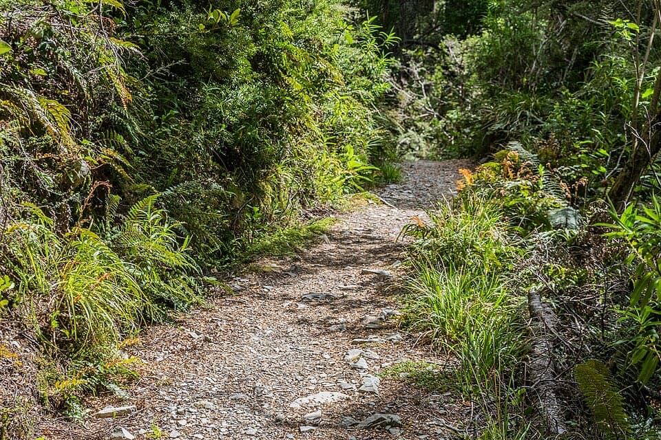 EasyGovernors Bush Walk1.6 km · 1 hr · 2 km awayA shaded beech climb that ends with an Aoraki view.
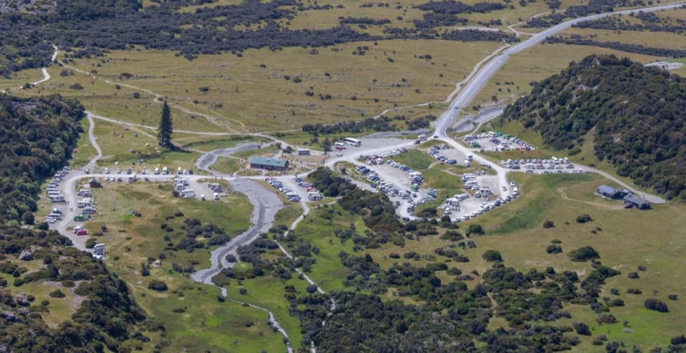 Campground · 0.1 km awayWhite Horse Hill CampsiteCamp under Mt Sefton, with valley walks right nearby.
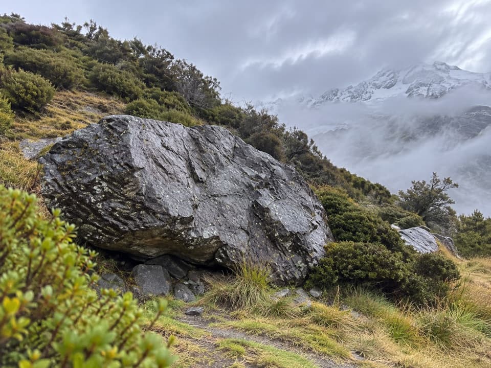 Sight · 0.2 km awayFreda’s RockA quick detour with a story from Aoraki’s climbing history.
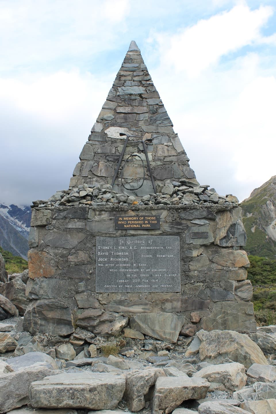 Sight · 0.3 km awayAlpine MemorialA cairn remembers the climbers lost on the Linda Glacier.
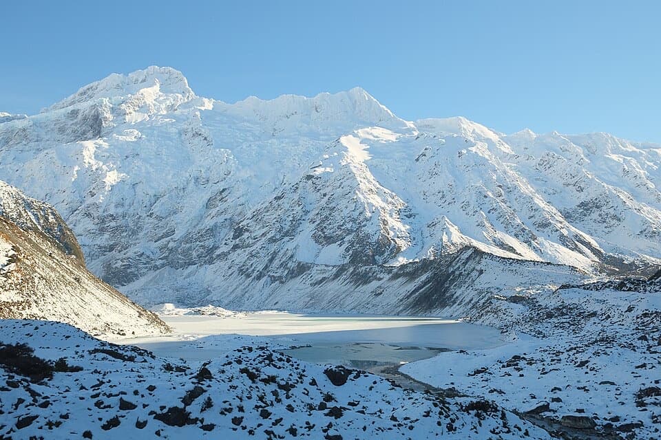 Sight · 0.8 km awayMueller LookoutA quick lake-and-glacier view before the first swing bridge.
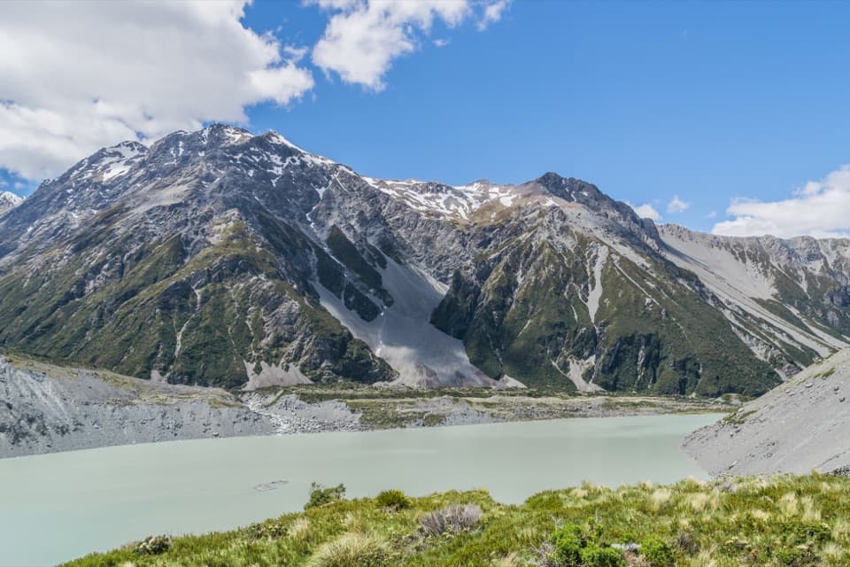 Sight · 1.2 km awayKea PointA short alpine walk to the Mueller Glacier lake lookout.
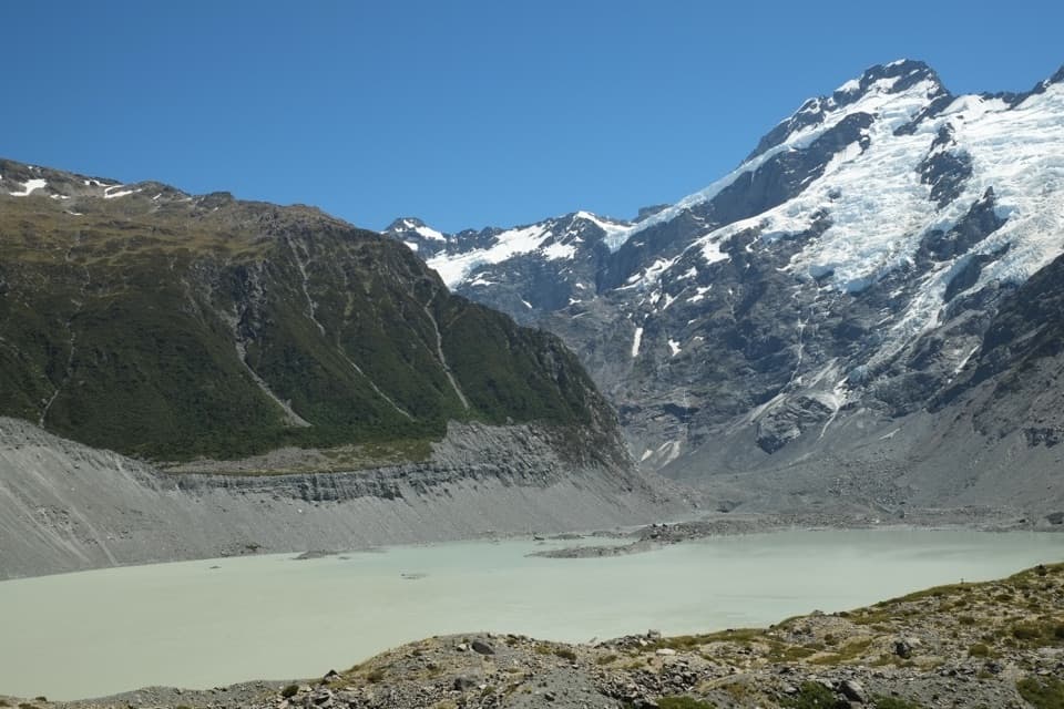 Sight · 1.3 km awayKakīroa / Mount Sefton View LookoutMueller Lake, its glacier and Mount Sefton meet in one view.
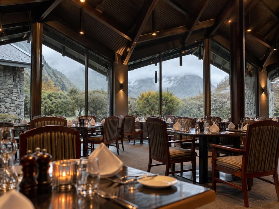 Restaurant · 1.5 km awayPanorama RoomA booked dinner with Aoraki framed in the dining-room windows.
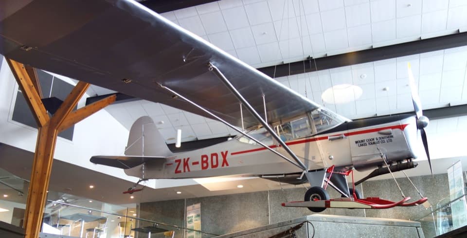 Sight · 1.5 km awaySir Edmund Hillary Alpine CentreReal expedition machinery makes Hillary's Aoraki story feel close.
Parkwolf’s Aoraki / Mount Cook ranking

The audio tour guide for the drive, plus offline maps, trails, and wildlife heatmaps for when the signal drops.