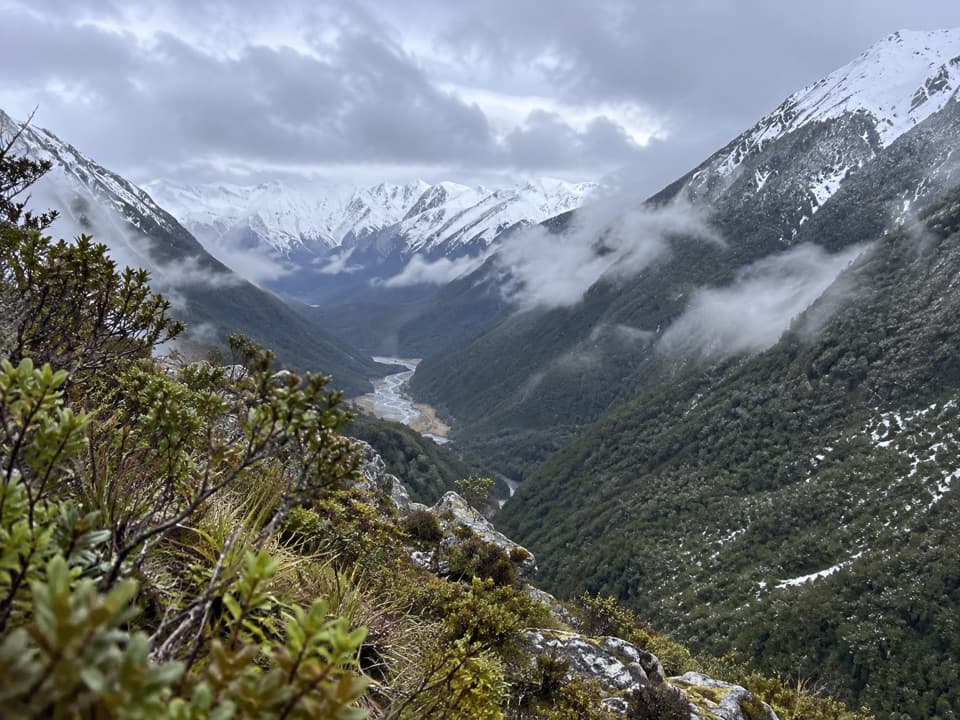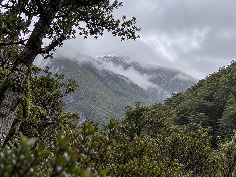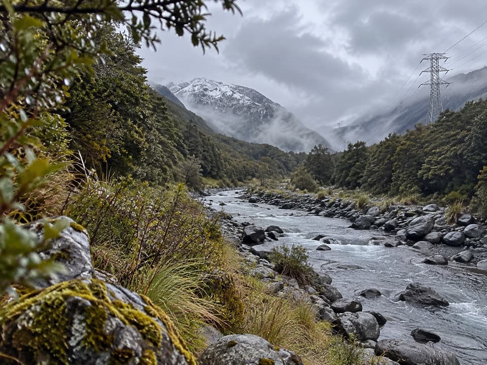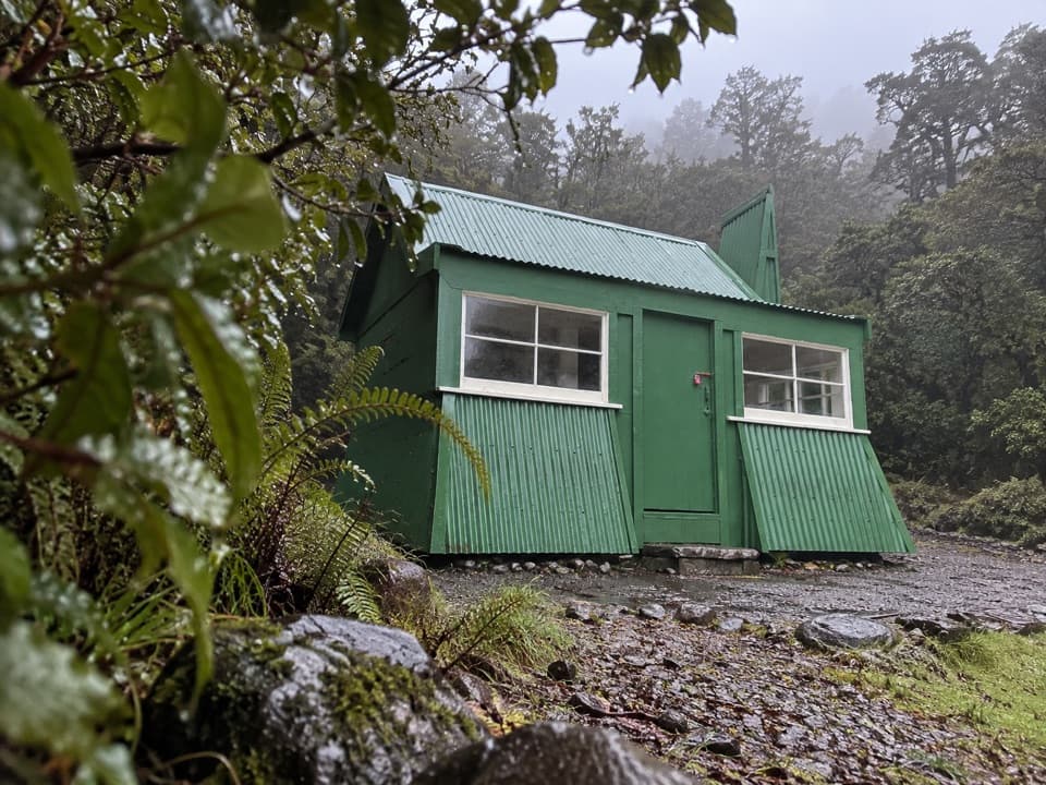
Temple Basin Ski Area in Arthur's Pass National Park

Sight · Arthur's Pass National Park

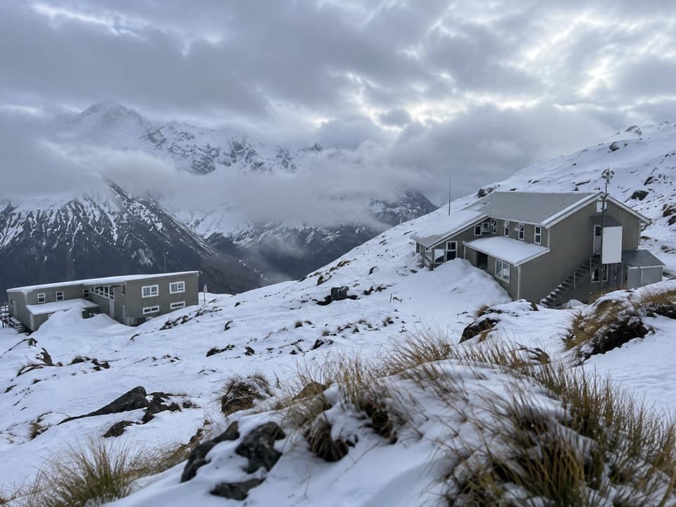
Temple Basin Ski Area

A walk-up club field with rope tows and big alpine terrain.

Photo: Public Domain
Type
Sight
Nearest trail
1.4 km
Audio stories
4 nearby
  • Parking
  • Trailhead
  • Lodging
  • Food

Hear the audio tour

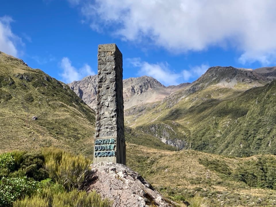
Temple Basin and Dobson Nature Walk

Overview

About Temple Basin Ski Area

Why stop

  • Ungroomed alpine terrain across several basins, with options from beginner to expert.

Heads up

  • The steep, rocky 40–50-minute walk from the highway is part of the visit.

Map

Where it is

Loading the Arthur's Pass map
Full map
SightTemple Basin Ski Area-42.90844, 171.57663
Keep this map with you offline in the Parkwolf app

Plan your stop

Before you go

2 active Arthur's Pass alerts

  • CautionFlood damage and rockfall risk on Harper Pass RouteFlood damage and an active slip affect the Harper Pass Route below Kiwi Hut and near Locke Stream Hut.Official details
  • CautionFlood damage on route to Sudden Valley BivvySignificant flood damage makes the route to Sudden Valley Bivvy passable only when rivers are low.Official details

Arthur's Pass alerts
A park ranger sits on a dash-mounted phone, talking, as Parkwolf’s Tour Guide plays “Army Cutworm Moths: A Grizzly Bear Buffet” on Grand Loop Road below Dunraven Pass in Yellowstone
Parkwolf Tour GuideThe highest, rockiest slopes around here are a summer buffet for grizzly bears.

Arthur's Pass Tour Guide

Your drive to Temple Basin Ski Area, narrated.

Parkwolf is a GPS audio tour guide for Arthur's Pass National Park. As you drive, it chimes in with what’s ahead: hidden gems, upcoming stops, history, geology, and wildlife, right through your car’s speakers.

Recorded for this place

Temple Basin and Dobson Nature Walk
0:00 / 0:36
“The Temple Basin car park is coming up, below a club ski field that dates to nineteen twenty-nine. The ski area has rope tows and ungroomed slopes, and you reach it on foot up a steep, rocky track.”

Plays as you drive up to Temple Basin Ski Area in the Parkwolf Arthur's Pass Tour Guide.

More stories near here in the app

  • Ōtira Valley Track
  • Jacks Hut and Bealey Chasm
  • Ōtira Viaduct Lookout
  • Devils Punchbowl Falls
  • 42 audio storiesacross Arthur's Pass’s roads, triggered by GPS as you drive
  • Wildlife heatmapsfor Kea, New Zealand Falcon, Blue Duck, and 13 more
  • Works offlinemaps, 49 trails, 59 places, and audio download before you lose signal
  • CarPlay readysimple controls built for the drive
★★★★★
“Fantastic app with many points of information… It’s great to just turn on while you’re driving and it gives you an audio tour of the national Park. We love it!!!!”
JMJamesApp Store review
Download Parkwolf on the App StoreGet Parkwolf on Google Play

4.7 from 8,600+ ratings

Guide

More about Temple Basin Ski Area

A walk-up club fieldTemple Basin is a club-run ski field on the Main Divide of the Southern Alps, reached from…

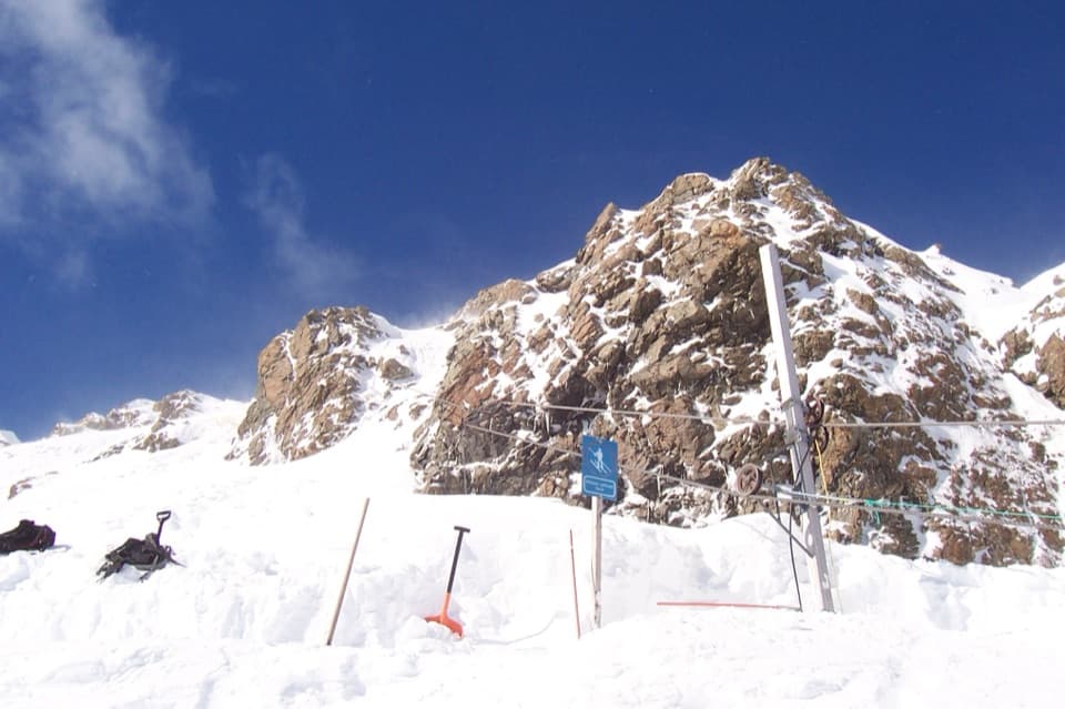
Temple Basin is a club-run ski field on the Main Divide of the Southern Alps, reached from State Highway 73 near Arthur's Pass. Three rope tows serve ungroomed terrain across several basins and ridges. I'd choose it for a proper alpine day if you enjoy natural terrain, hiking between runs and a sociable lodge; it won't suit you if groomed, chairlift-served laps are what you want.

The walk is part of the visitThe Temple Basin car park is on SH73.

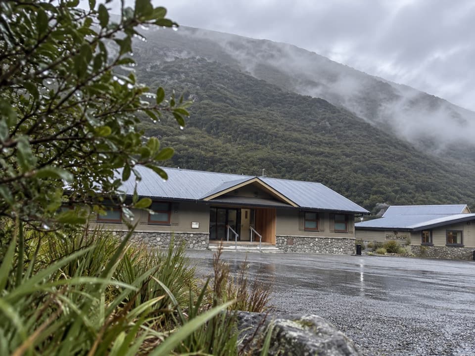
The Temple Basin car park is on SH73. From there, allow 40 to 50 minutes for the steep, rocky walk to the ski area and lodges. Hiking boots or running shoes with a grippy sole suit the track. A separate goods lift about 800 metres west of the car park can send bags uphill, but you'll still make the walk yourself.

Pick terrain that fitsBeginners can start around the Cassidy and Temple tows; intermediate options include Downhill…

Beginners can start around the Cassidy and Temple tows; intermediate options include Downhill and Upper Bills basins. Strong skiers can hike to steep, technical lines from Temple, Blimit and Cassidy peaks, or head toward Mingha. This is ungroomed club-field skiing, so choose terrain that fits your ability and the conditions rather than expecting a lift-served resort setup.

Stay on the mountainOvernight stays are in ski-in, ski-out lodge accommodation and are fully catered, with hot…

Overnight stays are in ski-in, ski-out lodge accommodation and are fully catered, with hot showers and drying rooms. There's also ski-equipment rental and a bar with local wine and craft beer. Treat the meals and bar as part of a lodge stay, rather than counting on a roadside cafe.

A long-running club fieldTemple Basin dates to 1929 and is one of Aotearoa New Zealand's oldest club-run ski areas.

Temple Basin dates to 1929 and is one of Aotearoa New Zealand's oldest club-run ski areas. The not-for-profit club also hosts mountain recreation and education, including snow-safety and ski-touring courses. That club-field character is part of the appeal: a walk-in mountain base, rope tows and a shared lodge rather than a conventional resort.

Wildlife

Wildlife in Arthur's Pass

All Arthur's Pass wildlife maps

Sighting maps show where each species has been reported across Arthur's Pass. Wildlife moves, so no sighting is guaranteed.

Keep exploring

Near Temple Basin Ski Area

See it all on the map

Trails nearby

More stops nearby

Parkwolf’s Arthur's Pass ranking

Top sights in Arthur's Pass

All 59 places
  1. 1Devils Punchbowl FallsSight
  2. 2Ōtira Viaduct LookoutSight
  3. 3Avalanche PeakSight
  4. 4Jacks HutSight
  5. 5Arthur’s Pass ChapelSight
  6. 6Ōtira Gorge Rock Shelter LookoutSight

Take Parkwolf to Arthur's Pass.

The audio tour guide for the drive, plus offline maps, trails, and wildlife heatmaps for when the signal drops.

4.7 from 8,600+ ratings

Download Parkwolf on the App StoreGet Parkwolf on Google Play