Parking
Start at the Temple Basin car park on SH73 at the pass summit. Follow the walking route and cross the highway where the track directs; the memorial is at the far end, not the trailhead.
Arthur's Pass National Park, CB · WC
Alpine flowers and mountain views in a quick out-and-back.
Overview
Map & elevation
Plan your hike

The highest, rockiest slopes around here are a summer buffet for grizzly bears.
Arthur's Pass Tour Guide
Parkwolf is a GPS audio tour guide for Arthur's Pass National Park. As you drive, it chimes in with what’s ahead: hidden gems, upcoming stops, history, geology, and wildlife, right through your car’s speakers.
Recorded for this trailhead
Temple Basin and Dobson Nature Walk“The Temple Basin car park is coming up, below a club ski field that dates to nineteen twenty-nine. The ski area has rope tows and ungroomed slopes, and you reach it on foot up a steep, rocky track.”
Plays as you drive up to this trailhead in the Parkwolf Arthur's Pass Tour Guide.
More stories near here in the app
“Fantastic app with many points of information… It’s great to just turn on while you’re driving and it gives you an audio tour of the national Park. We love it!!!!”


Trail guide
Dobson Nature Walk is an easy out-and-back from the Temple Basin car park to the point opposite Dobson Memorial, with an open alpine hillside in between. The mapped route is about 620 m each way, or 1.24 km return; current trail information gives 750 m return, so the published and mapped distances do not line up. Allow about 30 minutes, or a little longer if you stop at the interpretation points.
After the short approach from the car park, cross SH73 and follow the path in a semi-circle through subalpine and alpine herbs, tussocks, shrubs, and flowers. It climbs over the open slope before easing toward the pass again. Seats and interpretation points look out to the surrounding mountains. Mt Cook buttercups (Ranunculus lyallii) and other alpine flowers bloom from November through February. A self-guided plant booklet is available at Arthur’s Pass Visitor Centre.
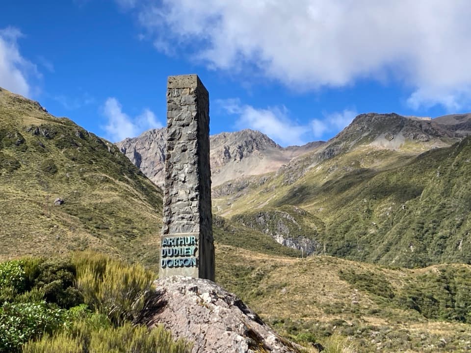
The walk ends opposite the Dobson Memorial, a stone obelisk for surveyor Arthur Dudley Dobson, whose 1864 survey helped establish the pass route for European travellers. Ngāi Tahu had used the pass long before that. The memorial is across SH73; don't cross from the track's end or walk along the highway. Return by the walking track. Dogs aren't allowed. Mountain weather changes quickly here, so take a warm layer and rain shell even on this short walk.
Wildlife
 984 sightingsKeaMost seen around noonSighting map
 39 sightingsNew Zealand FalconMost seen around 5 PMSighting map
 190 sightingsBlue DuckMost seen around 5 PMSighting map
 20 sightingsKākāMost seen around 8 AMSighting map
 15 sightingsWekaMost seen around 7 AMSighting map
 15 sightingsParadise ShelduckMost seen around 6 PMSighting map
Sighting maps show where each species has been reported across Arthur's Pass. Wildlife moves, so no sighting is guaranteed.
Keep exploring
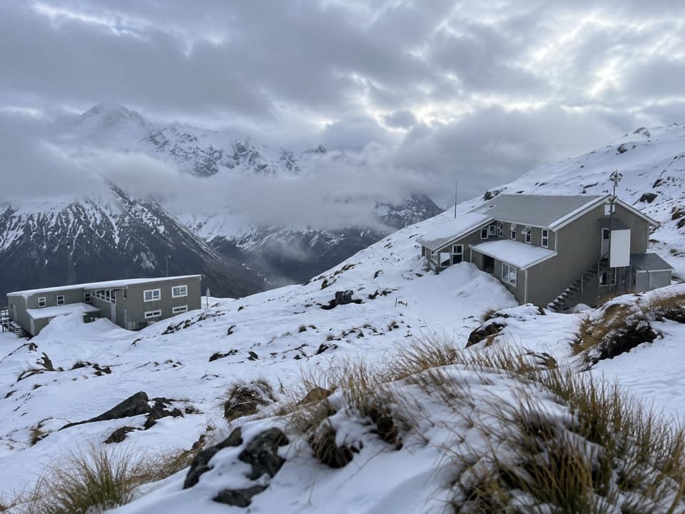 ChallengingTemple Basin Track4.2 km · 3 hr · At the trailheadSteep zigzags lead to a tussock basin and alpine ski lodges.
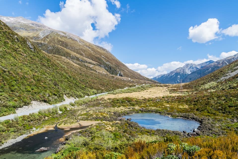 EasyLake Misery Track1.1 km · 25 min · 0.4 km awayA wetland connector, not a standalone loop.
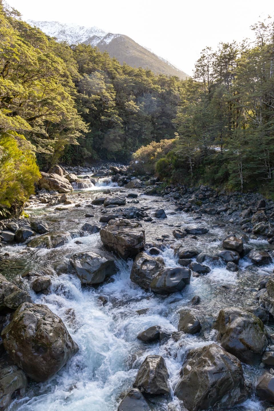 ModerateBealey Valley Track2.4 km · 1.3 hr · 0.9 km awayA boulder gorge and a snowgrass clearing framed by Mt Rolleston.
 ModerateOtira Valley Track3.4 km · 2 hr · 1.3 km awayA rocky alpine walk to a footbridge under Mount Rolleston.
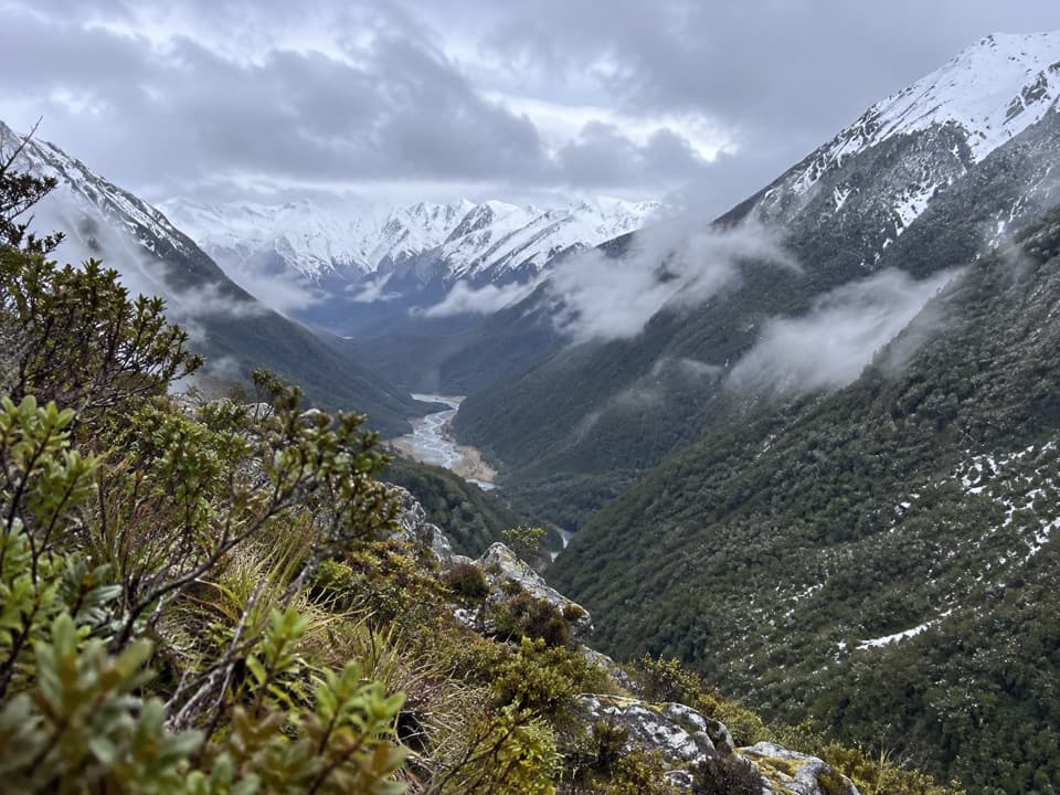 ChallengingCoral Track3 km · 4 hr · 1.9 km awayA steep climb to treeline above the Bealey Valley.
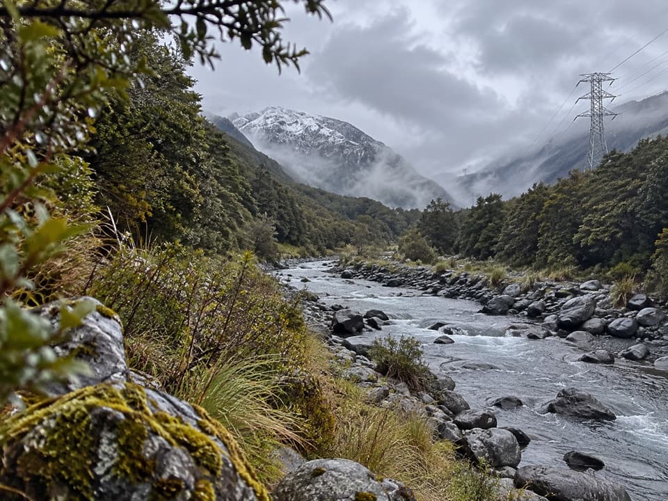 ChallengingMount Aicken Track3.1 km · 3 hr · 2.5 km awayA steep, rooty climb to Mount Aicken's bushline and back.
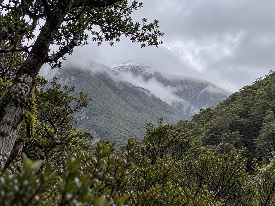 ChallengingCons Track2 km · 3.5 hr · 2.5 km awayA steep ridge climb with a big bushline payoff.
 ChallengingScotts Track to Avalanche Peak7.1 km · 7 hr · 2.6 km awayA steep, exposed climb from forest to a narrow alpine summit.Sight · 0.3 km awayDobson MemorialA tall obelisk remembers surveyor Arthur Dobson at the pass.Sight · 0.8 km awayBealey ChasmA five-minute walk brings you to the Bealey River's boulder-cut chasm.
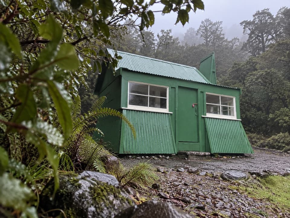 Sight · 1 km awayJacks HutA rare roadman’s cottage makes the pass road’s working past tangible.
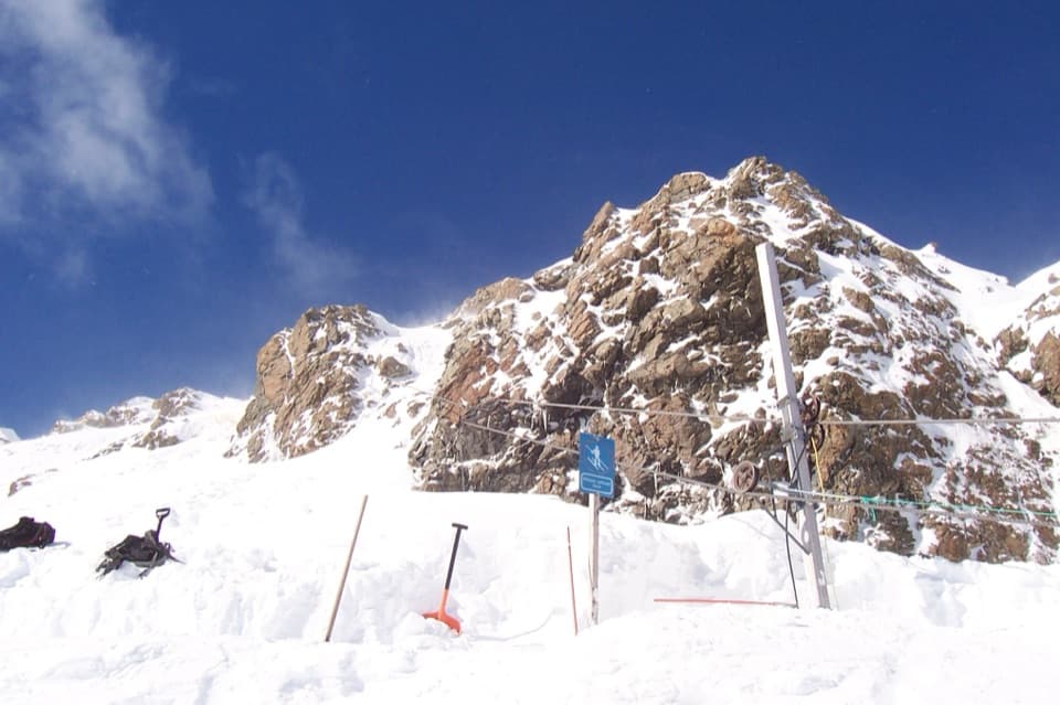 Sight · 1.4 km awayTemple Basin Ski AreaA walk-up club field with rope tows and big alpine terrain.
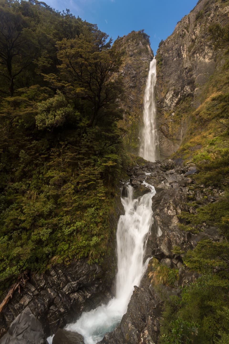 Sight · 2 km awayBridal Veil Falls LookoutA forest walk to distant falls, peaks and village views.
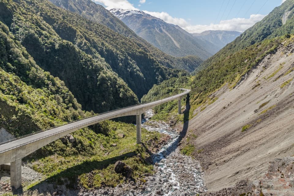 Sight · 2.5 km awayŌtira Viaduct LookoutA quick stop for the viaduct, gorge and occasional kea.
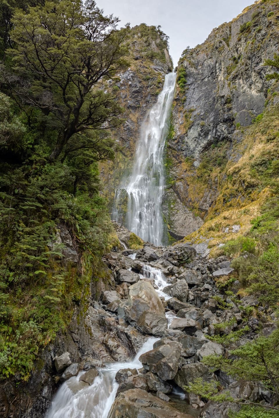 Sight · 2.5 km awayDevils Punchbowl FallsA 131 m waterfall is close after a long stair climb.
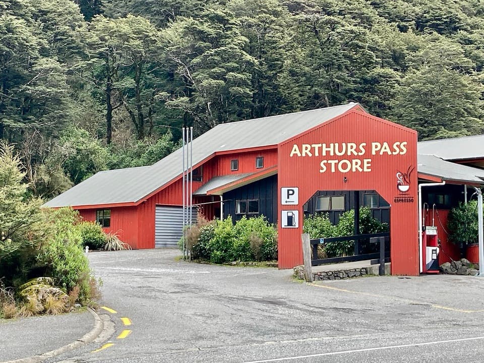 Restaurant · 3.2 km awayArthur’s Pass Café & StorePie, coffee, groceries and the only fuel for a long stretch.
Parkwolf’s Arthur's Pass ranking

The audio tour guide for the drive, plus offline maps, trails, and wildlife heatmaps for when the signal drops.



