Pros & cons
PROS
- Big Mount Wilson views without a hike
- Fantastic sunrise/sunset light for photos
CONS
- No documented facilities
- Small pullout that can feel crowded in peak season
Overview
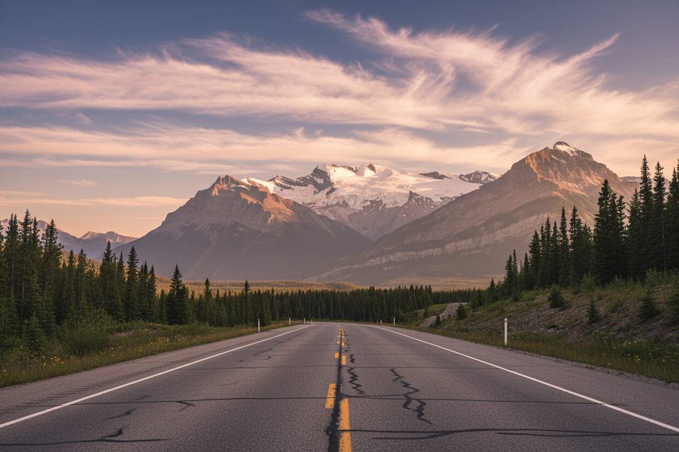
A quick roadside stop on the Icefields Parkway just north of Saskatchewan River Crossing, Mount Wilson Overlook serves up a head-on view of the hulking Mount Wilson massif. It’s the kind of pullout where you step out of the car and immediately feel dwarfed by sheer rock walls and glaciated upper slopes.
What You'll See
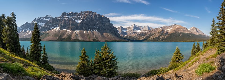
- A panoramic sweep of Mount Wilson’s cliffs, icefields, and buttresses dominating the North Saskatchewan River valley.
- Long views up and down the valley; on clear days you’ll pick out peaks in the Cline Range and glacially carved side valleys.
- From this stretch of highway you’re looking across to the wide river flats, and near here the North Saskatchewan meets the Mistaya and Howse Rivers—great context for the landscape you’re seeing.
Why It’s Worth a Stop
This is an easy, no-hike payoff: world-class Rockies scenery for the price of pulling over. It’s popular with photographers because the mountain face takes light beautifully, especially at the bookends of the day.
Wildlife
Roadside wildlife sightings do happen along this corridor—think bighorn sheep, mountain goats, elk, and (occasionally) bears. Scan with binoculars and keep a respectful distance; enjoy from the shoulder rather than approaching.
Geology Snapshot
Mount Wilson is a classic Canadian Rockies giant composed of ancient sedimentary layers uplifted and carved by ice. The big, blocky architecture and lingering icefields tell the story of powerful glacial shaping in this valley.
Best Time to Visit
- Light: Sunrise and sunset bring the most dramatic color and contrast on Mount Wilson’s faces.
- Crowds: Early morning or late evening tends to be quieter; midday in summer sees more traffic.
- Season: Views are year-round when the parkway is open, but weather can change fast—bring a wind layer even in summer.
Logistics
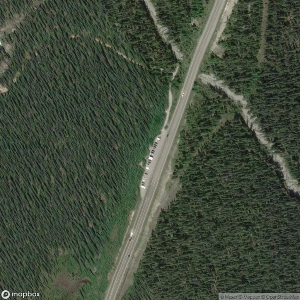
This is a roadside pullout with no documented services. If you need restrooms, food, or fuel, use Saskatchewan Crossing a few kilometers away. Expect limited space at the shoulder during peak season.
Photography Tips
- A short telephoto lens (or binoculars) helps isolate the icefields and cliffs.
- For moody images, aim for first or last light when shadows sculpt the massif.
Where it is
51.9238, -116.7246Tips for Mount Wilson Overlook
- 01Stop at Saskatchewan Crossing for services before or after your visit.
- 02Bring binoculars or a zoom lens to pull details off the massif.
- 03Aim for sunrise or sunset for the best light and fewer people.
- 04Stay roadside and give wildlife plenty of space if you spot any.
Amenities
Near Mount Wilson Overlook
All places →All trails →
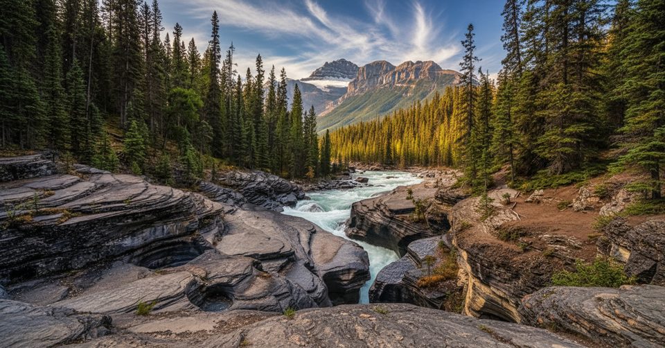
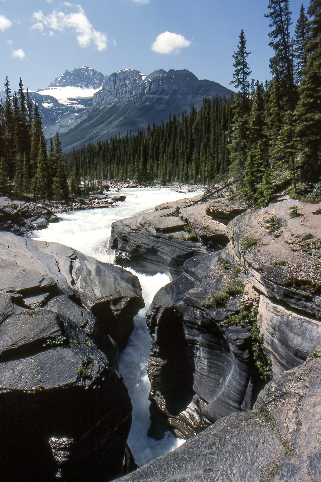
1.2 mi awayMistaya Canyon TrailQuick walk to a dramatic slot canyon and bridge on the ParkwayEasy · 1.1 mi · 36 min
1.2 mi awaySarbach LookoutSteady forest climb to a quiet ridge with big Icefields views.Challenging · 7.5 mi · 5 hr
1.3 mi awayMistaya CanyonShort walk to a roaring slot canyon and mountain-framed bridge viewsTrailhead · Parking
3.5 mi awaySaskatchewan River CrossingHistoric river junction and the Parkway’s lone services hubGas Station · Store
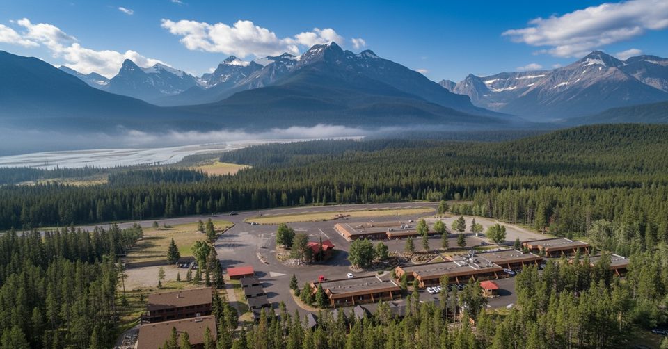
3.6 mi awayThe Crossing ResortFull-service stop with rooms, food, and fuel on the ParkwayLodging · Restaurant
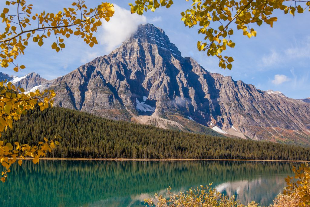
4.9 mi awayMount ChephrenPyramid peak towering over Waterfowl Lakes with a rewarding lake hikeTrailhead · Parking
5.9 mi awayOwen Creek TailQuiet creek to alpine route that starts the Great Divide TrailChallenging · 16.4 mi · 9.6 hr
7.1 mi awayWaterfowl Lakes Shoreline TrailQuick, turquoise-lake stroll with big Mount Chephren viewsEasy · 1.1 mi · 27 min