
Place · 0.1 mi away
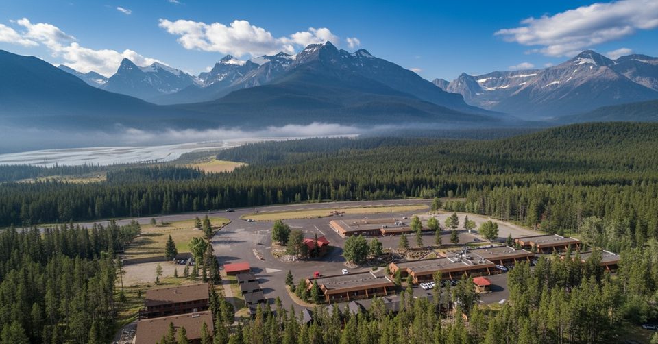
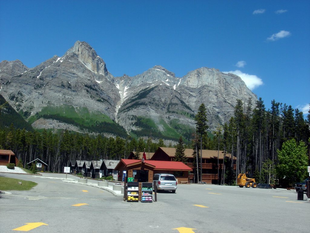
Where the Mistaya and Howse Rivers meet the North Saskatchewan, this crossroads delivers sweeping valley scenery and the parkway’s most practical pit stop. It’s not a blockbuster attraction, but it’s the lone cluster of services between Lake Louise and the Columbia Icefield—and a scenic one at that.
Fur traders used this very crossing to ford the North Saskatchewan and follow the Howse River over Howse Pass into today’s British Columbia. The landscape still tells that story: a wide, braided river corridor framed by peaks like Mount Wilson, Murchison, and Erasmus.
It’s a convenience stop first, scenic outlook second. Expect limited development and higher-than-usual prices (especially fuel). In summer, it can feel busy because everyone has the same idea; in winter, it’s quiet—and closed.
River valleys like this are classic travel corridors for elk, deer, bears, and a variety of birds. Treat the area as active wildlife habitat: observe from a distance, secure food, and follow Parks Canada guidance.
Aim for the bridge area to capture the braided channels with peaks on the horizon. A polarizer helps tame glare on the turquoise water; a modest zoom frames the rivers against the skyline.
Place · 0.1 mi away
Place · 2.3 mi away
Place · 3.5 mi away
Place · 6.2 mi away
Easy · 2.5 mi away
Challenging · 2.5 mi away
Challenging · 3.8 mi away
Challenging · 9.7 mi away

Parkwolf Tour Guide
