Parking
Begin at Fish Creek parking area off Whitehorn Road, about 3 km from Lake Louise.
Banff National Park, AB
A long backcountry hike climbs through larches to a secluded alpine lake.
Overview
Map & elevation
Plan your hike

The highest, rockiest slopes around here are a summer buffet for grizzly bears.
Banff Tour Guide
Parkwolf is a GPS audio tour guide for Banff National Park. As you drive, it chimes in with what’s ahead: hidden gems, upcoming stops, history, geology, and wildlife, right through your car’s speakers.
See the Banff audio tourRecorded for this trailhead
Fish Creek: The Way into Skoki“You're coming up on Fish Creek trailhead, the walking gateway to Skoki's alpine lakes and historic lodge.”
Plays as you drive up to this trailhead in the Parkwolf Banff Tour Guide.
More stories near here in the app
“…Loved the commentary as you drove thru. I’m sure the app can do more than I know but the tips were very helpful. I’m gonna use it when we go to Banff next month.”


Trail guide
Hidden Lake Trail is a difficult out-and-back into Banff’s Skoki area. From Fish Creek parking, the lake is 8.5 km one way: 17 km (10.56 mi) round trip, with about 700 m of ascent and 80 m of descent. Plan on 6–7 hours, plus stops. It is a full backcountry day, not a short lake stroll.
Start at Fish Creek parking off Whitehorn Road. The first 4 km follow a wide access road; then continue on the Boulder Pass trail. At the Halfway Hut junction, turn left for Hidden Lake. The Skoki Lodge route branches away here, so follow the Hidden Lake direction. From the shore, return along the same route.
The access road makes for a long, broad start. Farther in, the route passes below the ski area, through spruce and fir forest, and across Corral Creek on simple wooden bridges. Larch stands and open meadows appear as the trail climbs. Look back toward Victoria Glacier early on; the views open toward Mount Richardson and Pika and Ptarmigan peaks near the lake.
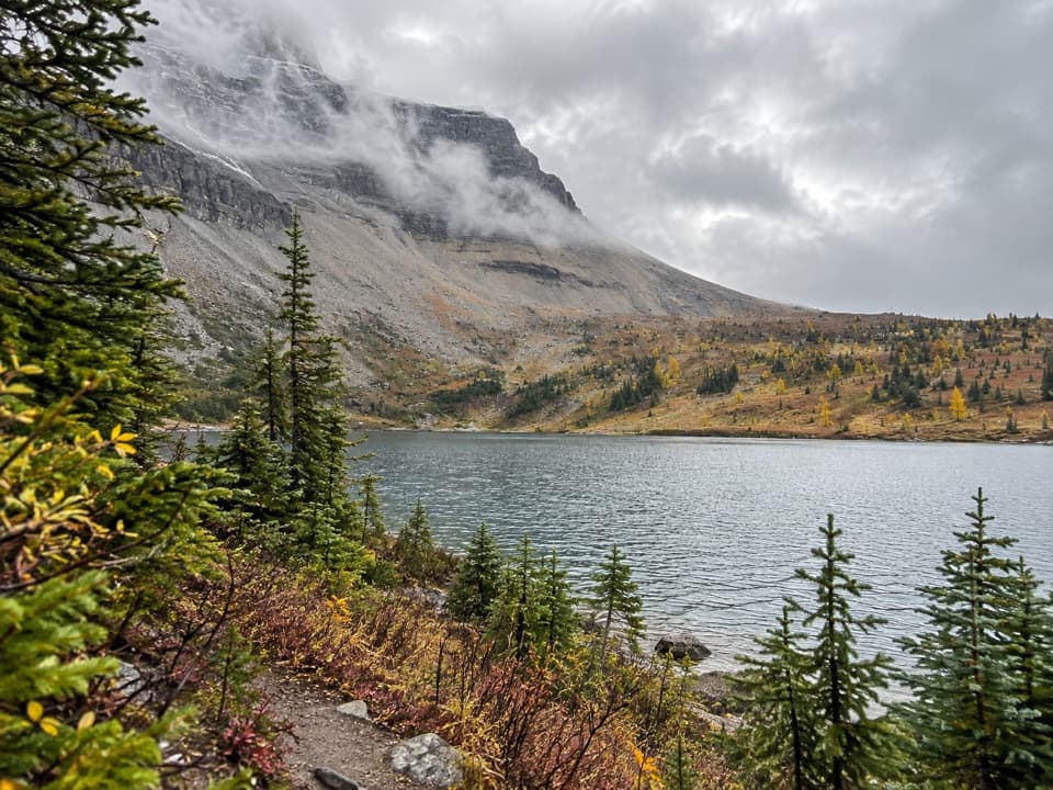
The alpine lake sits below a high wall of rock, with larches along parts of its shore. In fall, their needles turn gold; when the water is calm, the peaks can reflect across the lake. Hidden Lake is also a restoration site for threatened Westslope Cutthroat Trout. Reintroduced fish spawned naturally here for the first time in 2026, a major step in the recovery effort.
Wildlife
 123 sightingsGrizzly BearMost seen around 6 AMSighting map
 150 sightingsBrown BearMost seen around 6 PMSighting map
 44 sightingsGray WolfMost seen around 6 AMSighting map
 12 sightingsRiver OtterMost seen around 8 PMSighting map
 69 sightingsMooseMost seen around 8 PMSighting map
 466 sightingsBlack BearMost seen around 9 PMSighting map
Sighting maps show where each species has been reported across Banff. Wildlife moves, so no sighting is guaranteed.
Keep exploring
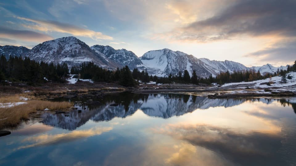 ChallengingBaker Lake Trail26 km · 9 hr · At the trailheadBoulder Pass first, then a high lake at the end.
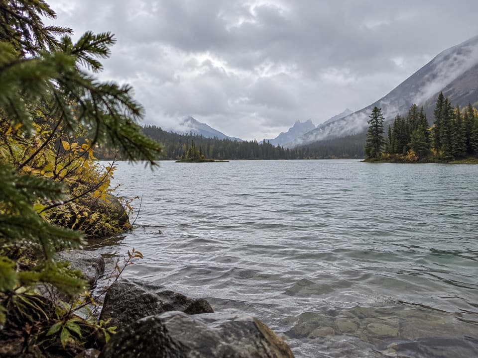 ChallengingRed Deer Lakes Trail37.4 km · 12 hr · At the trailheadA long backcountry approach to Red Deer Lakes.
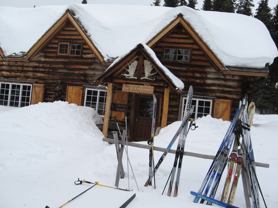 ChallengingSkoki Lodge Trail via Deception Pass14.4 km · 6 hr · At the trailheadCross a high pass to a 1931 backcountry lodge.
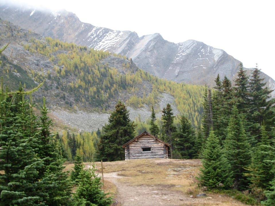 ChallengingSkoki Loop36.8 km · 16 hr · At the trailheadTwo camps, two passes, and a backcountry loop worth planning for.
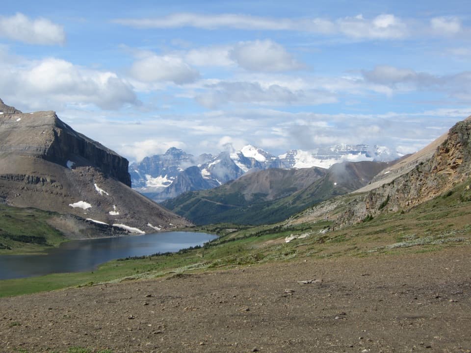 ModerateBoulder Pass and Ptarmigan Lake Trail17.6 km · 6.5 hr · At the trailheadA long climb to a pass looking over Ptarmigan Lake.
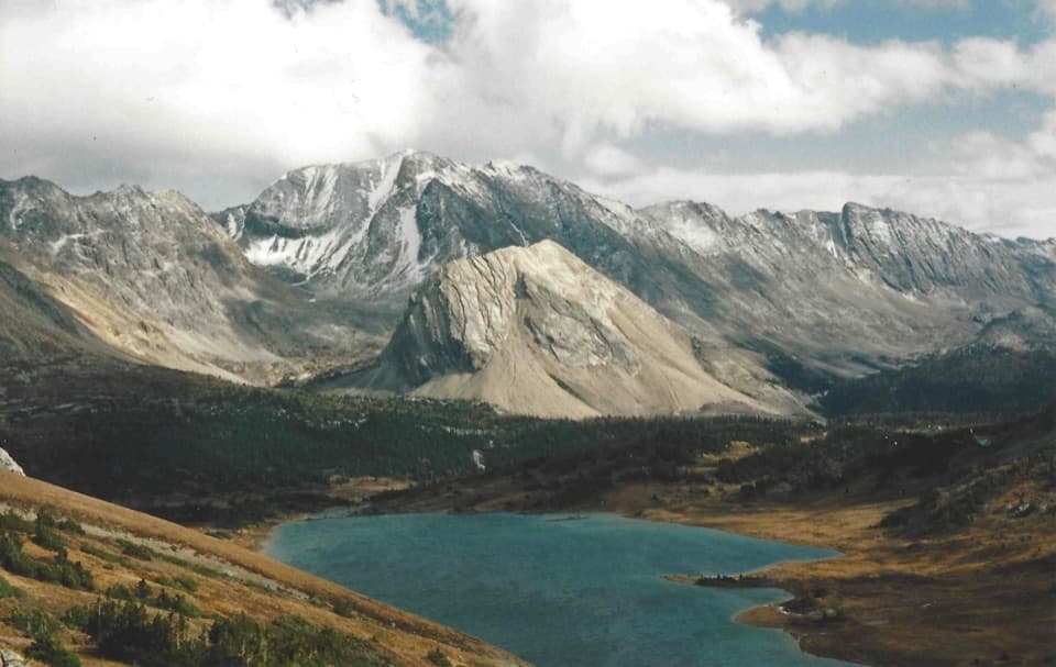 ChallengingDeception Pass Trail23 km · 8.5 hr · At the trailheadA long climb to a high pass above Ptarmigan Lake.
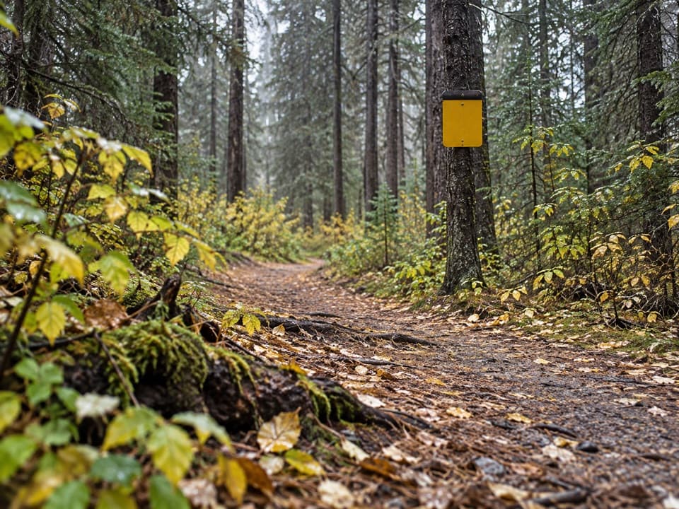 EasyPipestone Trail8 km · 3 hr · 2.5 km awayA gravel-and-dirt riverside walk into forested Pipestone Valley.
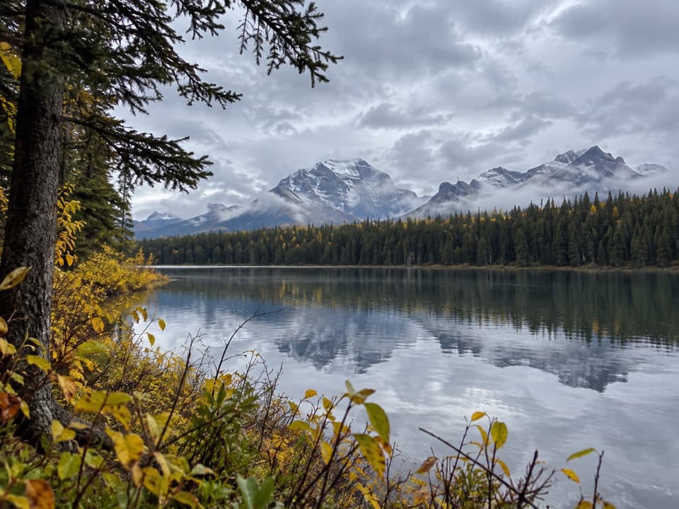 EasyMud Lake Trail3.4 km · 1.3 hr · 2.5 km awayA short, sometimes muddy walk to a mountain lake.
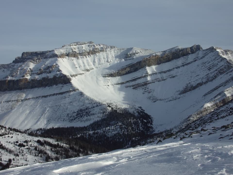 Sight · 0.8 km awayLake Louise Ski Resort & Summer GondolaRide above alpine meadows; ski five faces in winter.
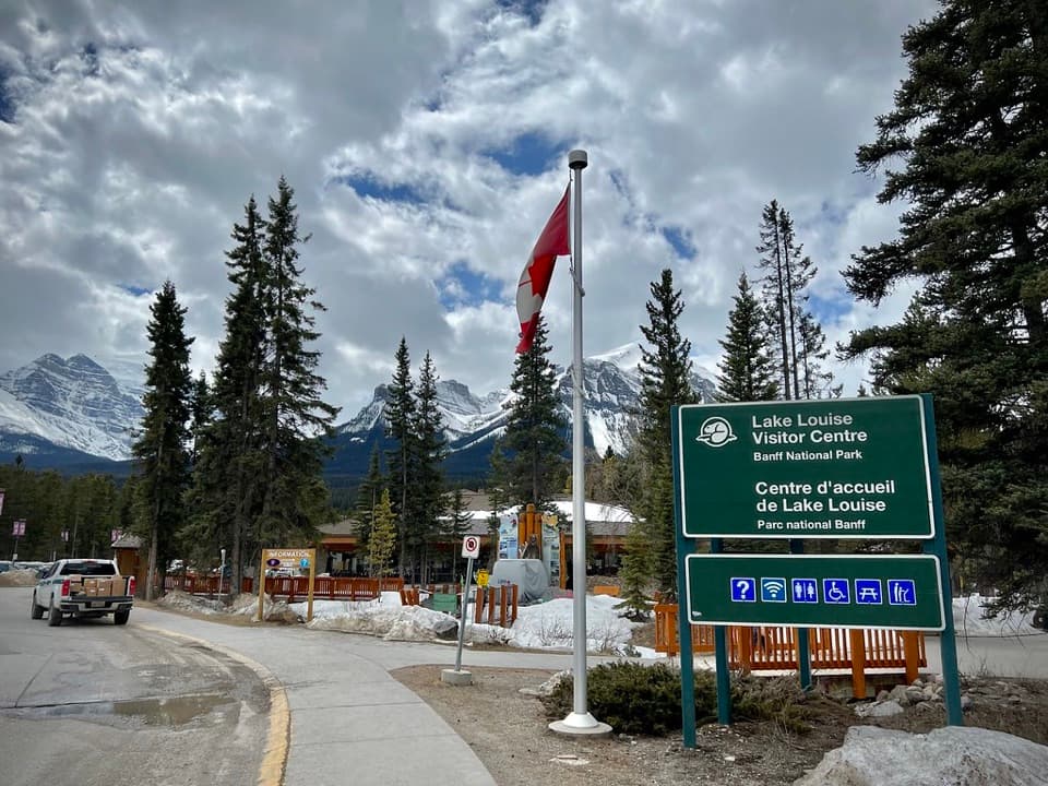 Visitor center · 2.4 km awayLake Louise Visitor CentreGet local advice and shuttle options before heading to the lake.
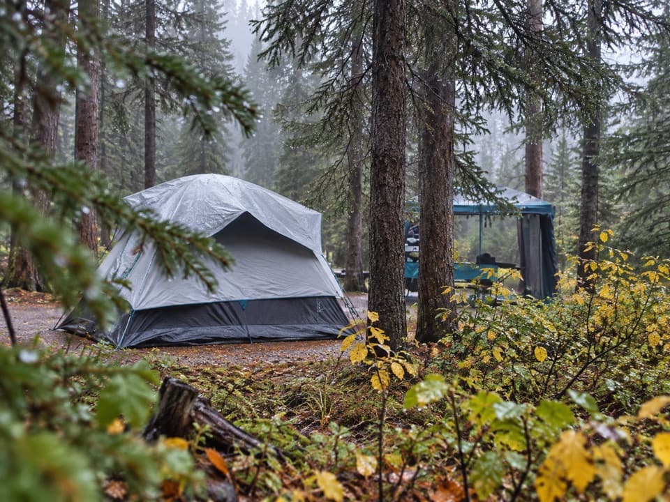 Campground · 2.9 km awayLake Louise Soft-sided CampgroundA fenced, unserviced tent base for Lake Louise outings.
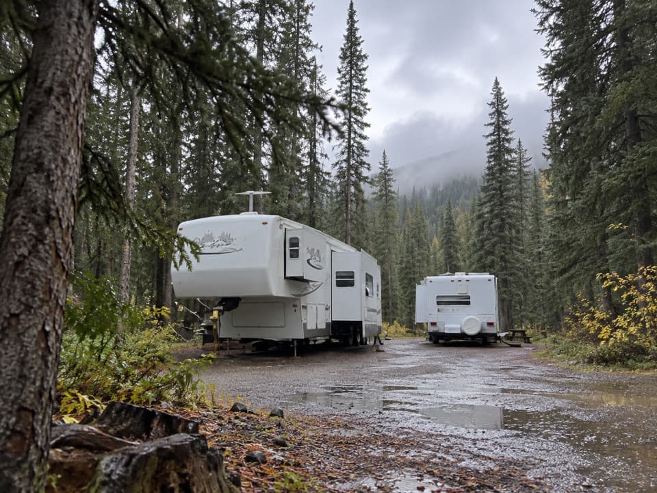 Campground · 3.5 km awayLake Louise Hard-sided CampgroundRV base with electric sites near Lake Louise; trains run nearby.
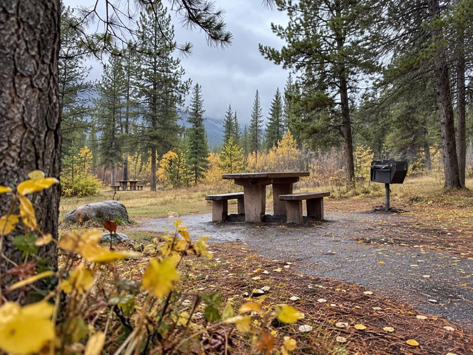 Picnic area · 3.6 km awayCorral Creek Picnic AreaTables and outhouses make a useful Bow Valley Parkway pause.
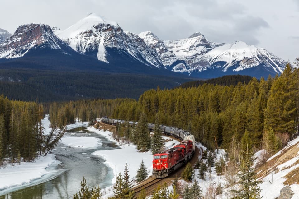 Sight · 4.7 km awayMorant’s CurveA river, railway curve and high peaks in one frame.
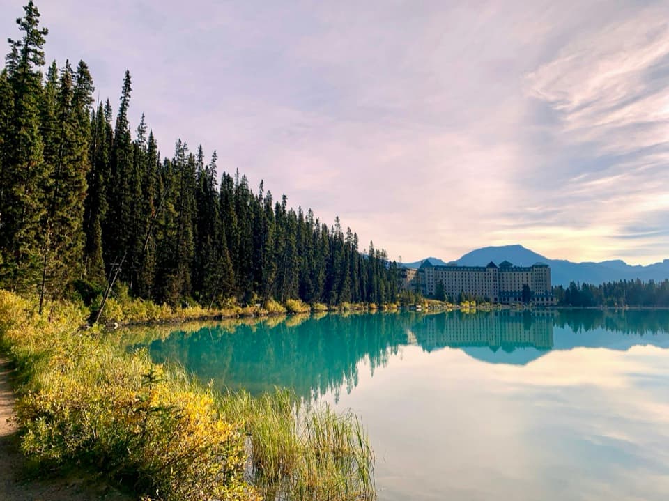 Lodging · 5.1 km awayFairmont Chateau Lake LouiseSleep beside Lake Louise, with a glacier-facing path at the door.
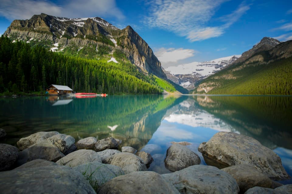 Sight · 5.3 km awayLake LouiseGo early for turquoise water beneath Victoria Glacier.
Parkwolf’s Banff ranking

The audio tour guide for the drive, plus offline maps, trails, and wildlife heatmaps for when the signal drops.





