Parking
Limited paved parking at Johnson Lake Day-use Area, at the end of Johnson Lake Road off Lake Minnewanka Road, about 12 km east of Banff. Four accessible stalls; Roam Route 6 serves the area in summer only.
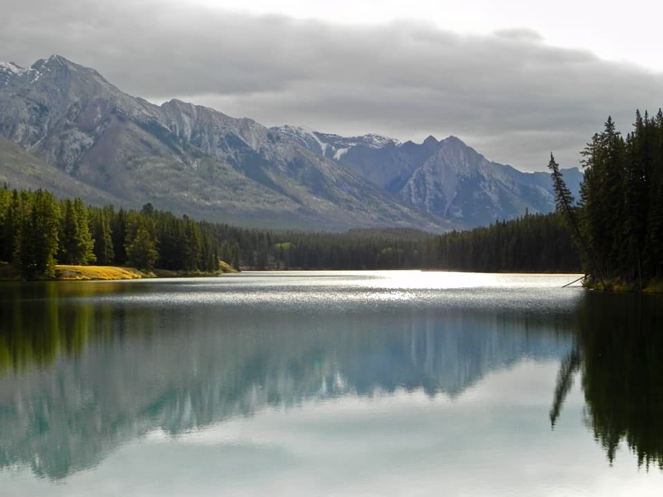
Banff National Park, AB
Old Douglas firs and Cascade views frame this easy lakeshore loop.
Overview
Map & elevation
Plan your hike

The highest, rockiest slopes around here are a summer buffet for grizzly bears.
Banff Tour Guide
Parkwolf is a GPS audio tour guide for Banff National Park. As you drive, it chimes in with what’s ahead: hidden gems, upcoming stops, history, geology, and wildlife, right through your car’s speakers.
See the Banff audio tourRecorded for this trailhead
Johnson Lake: A Swim or a Lakeside Lap“You're nearing Johnson Lake, a good choice for a summer swim or a relaxed lakeside break. It isn't glacier-fed, so it's warmer than many lakes around here, though a dip can still be bracing.”
Plays as you drive up to this trailhead in the Parkwolf Banff Tour Guide.
More stories near here in the app
“…Loved the commentary as you drove thru. I’m sure the app can do more than I know but the tips were very helpful. I’m gonna use it when we go to Banff next month.”


Trail guide
The Johnson Lake Loop is an easy lakeshore circuit listed at 2.9 km (1.8 mi), usually about an hour of walking. A recorded GPS line of the same loop measures about 3.1 km (1.9 mi), a small difference in how the shoreline is traced. The route starts at Johnson Lake Day-use Area and circles the water through open slopes and forest, with views of Cascade Mountain and Mount Rundle.
The path mixes paved and natural sections, with many roots and rocks, small step bridges and a narrow stretch on the north shore. It rolls rather than climbing steadily, but short steep grades and a minimum width around 44 cm make this a rough walking trail rather than a smooth accessible path. Published gain estimates range from roughly 30 to 90 m, so plan for short rises rather than a precise climb figure. Packed winter snow can turn icy.
The standard circuit follows the shoreline and passes through older Douglas-fir forest, with open views across the lake. Some route descriptions mention a higher north-shore option and a clearing; that is a variant and is not part of the lakeshore line mapped here. For a photo, look for a bridge or open bank where the mountain ridge and lake share the frame; still water can reflect the peaks.
The access is at the end of Johnson Lake Road, off Lake Minnewanka Road, about 12 km east of Banff. The paved lot is limited and has four accessible stalls, picnic tables, a bike rack and accessible gender-neutral outhouses. Roam Route 6 serves the area in summer only. No food or drinking-water stop is listed at the trailhead. In summer, dogs are allowed unless a trail restriction is posted; keep them leashed and under physical control.
Wildlife
 123 sightingsGrizzly BearMost seen around 6 AMSighting map
 150 sightingsBrown BearMost seen around 6 PMSighting map
 44 sightingsGray WolfMost seen around 6 AMSighting map
 12 sightingsRiver OtterMost seen around 8 PMSighting map
 69 sightingsMooseMost seen around 8 PMSighting map
 466 sightingsBlack BearMost seen around 9 PMSighting map
Sighting maps show where each species has been reported across Banff. Wildlife moves, so no sighting is guaranteed.
Keep exploring
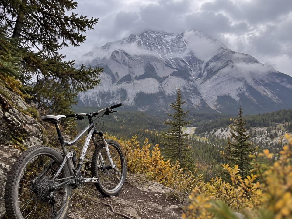 ModerateTunnel Bench Loop9.7 km · 1.8 hr · 2.5 km awayA rolling loop with exposed edges and broad Cascade Mountain views.
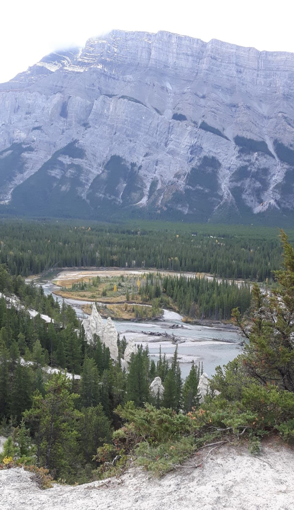 EasyHoodoos Interpretive Trail1 km · 45 min · 2.5 km awayShort paths bring pale hoodoos into view above the Bow River.
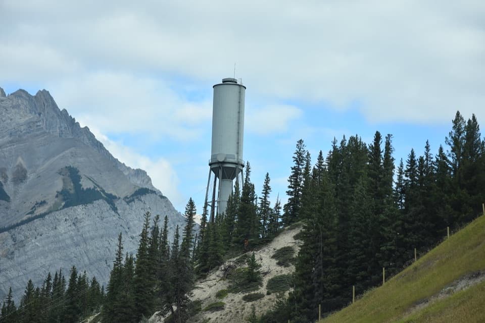 ModerateWater Tower Trail5.9 km · 2 hr · 3.2 km awaySteep stairs lead to singletrack and a clear Bow Valley view.
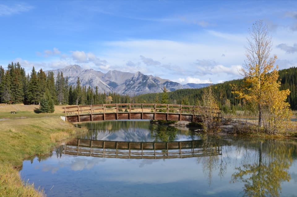 EasyCascade Ponds Loop1.4 km · 30 min · 3.4 km awayCross two wooden footbridges on a pond-side loop.
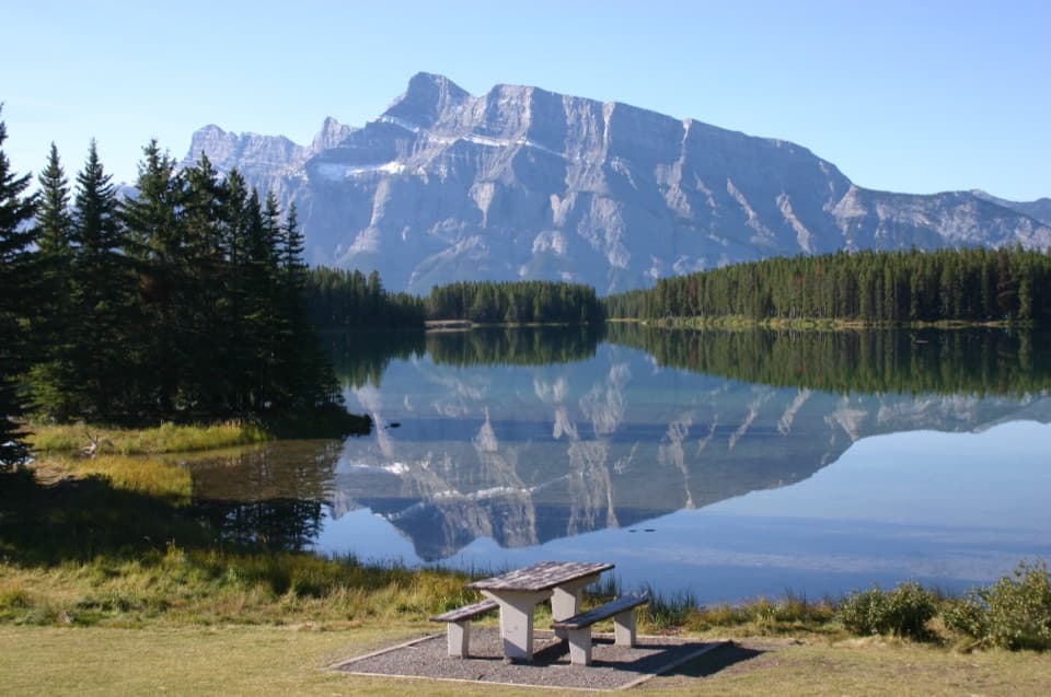 EasyTwo Jack Lake Shoreline Trail2.1 km · 45 min · 3.5 km awayPine needles underfoot, Mount Rundle across the water.
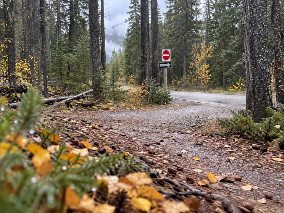 ModerateRundle Riverside Trail13.9 km · 4.5 hr · 3.7 km awayA rooty river traverse that needs a pickup in Canmore.
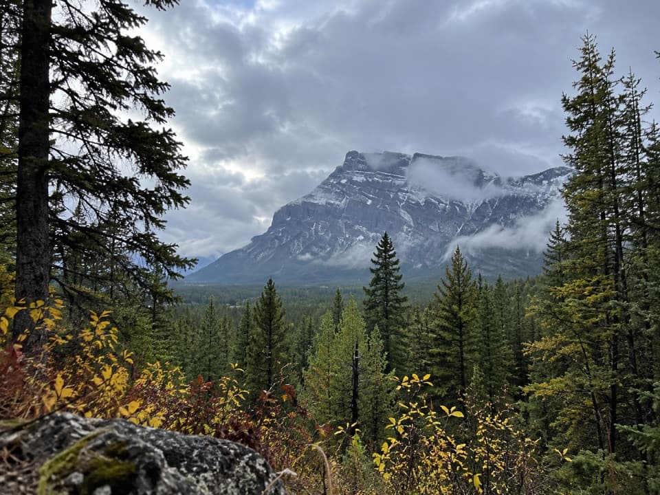 EasyTunnel Campground Loop6.3 km · 1.5 hr · 4.1 km awayA firm gravel loop circles campgrounds beneath mountain views.
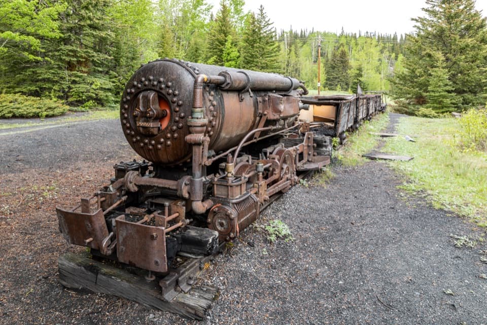 EasyLower Bankhead Interpretive Trail1.2 km · 36 min · 4.3 km awayA short loop through a coal town's industrial remains.
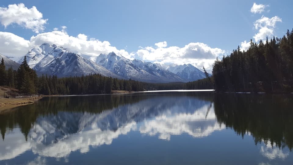 Beach · 0.1 km awayJohnson LakeAn easy lakeshore loop beneath Mount Rundle, with summer swims.
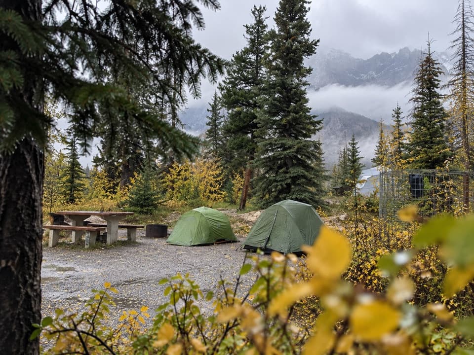 Campground · 2.2 km awayTunnel Mountain Village I CampgroundForest camping near Banff with showers and mountain views.
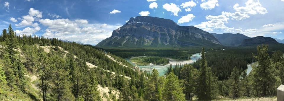 Sight · 2.4 km awayHoodoos ViewpointPale hoodoos above a turquoise bend in the Bow River.
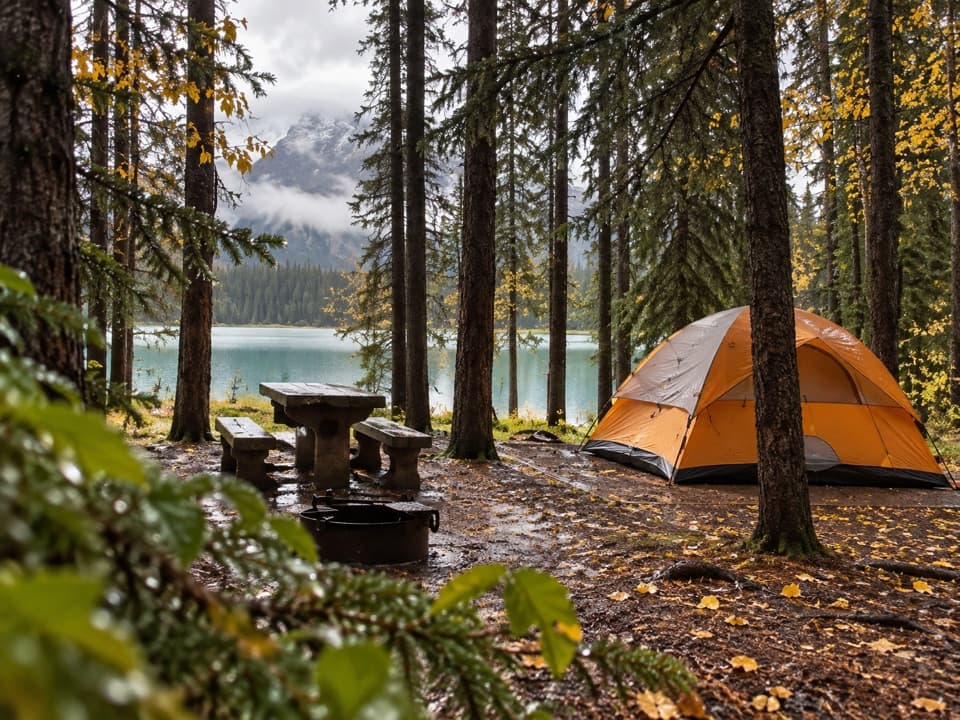 Campground · 2.8 km awayTwo Jack Lakeside CampgroundCamp beside Two Jack Lake, with Banff close by.
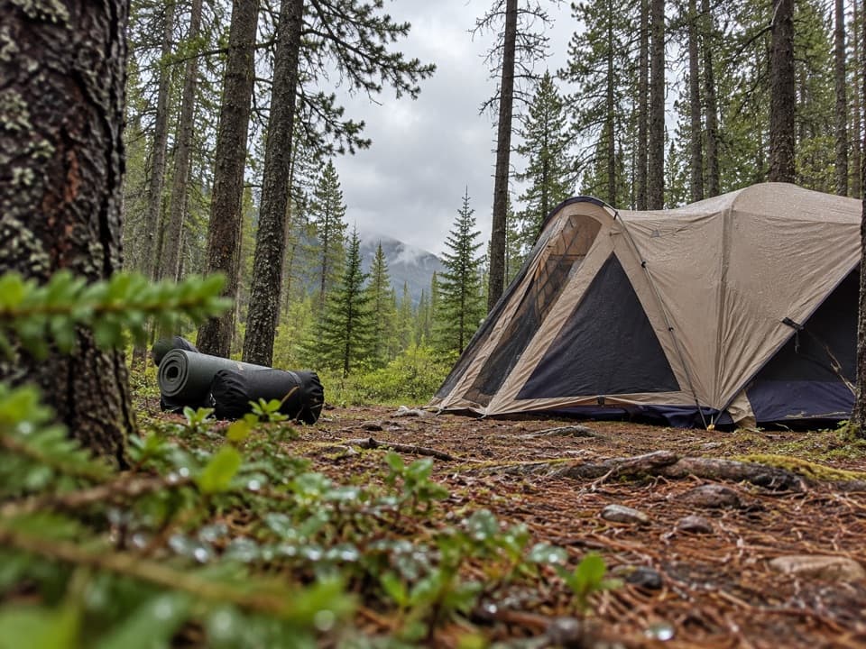 Campground · 3.2 km awayTwo Jack Main CampgroundA wooded, no-hookup base close to Lake Minnewanka.
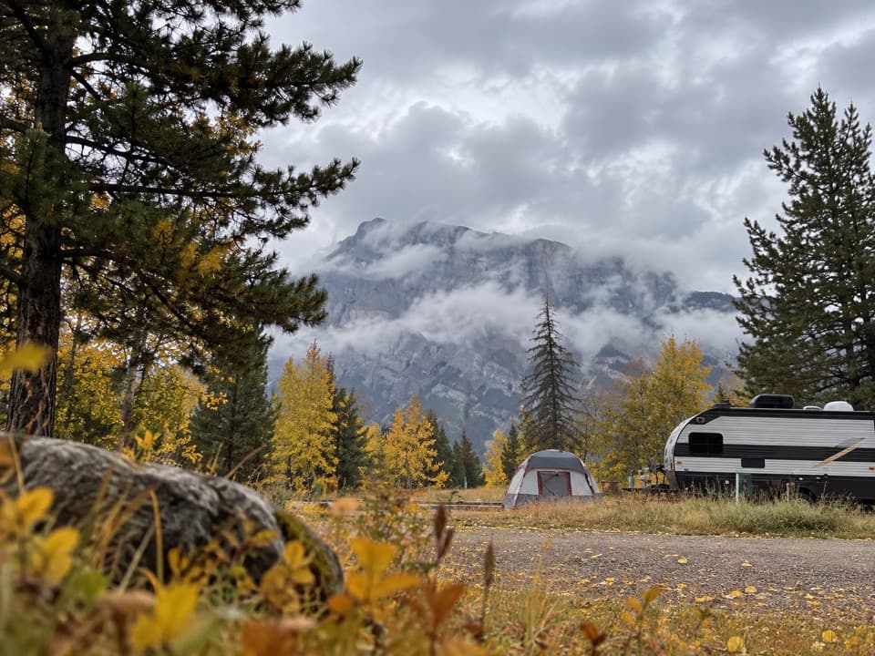 Campground · 3.3 km awayTunnel Mountain Trailer CourtFull hookups, mountain views, and a bus stop for town.
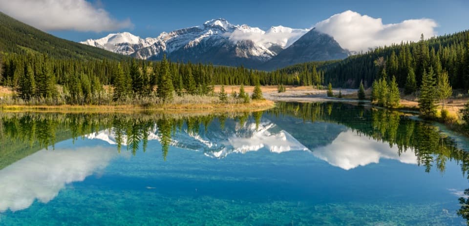 Picnic area · 3.3 km awayCascade PondsA low-effort pond stop for bridges, picnics and mountain reflections.
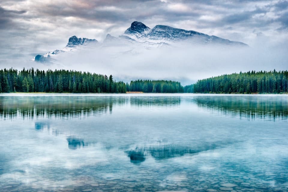 Sight · 3.5 km awayTwo Jack LakeA lakeside picnic and paddle beneath Mount Rundle
Parkwolf’s Banff ranking

The audio tour guide for the drive, plus offline maps, trails, and wildlife heatmaps for when the signal drops.





