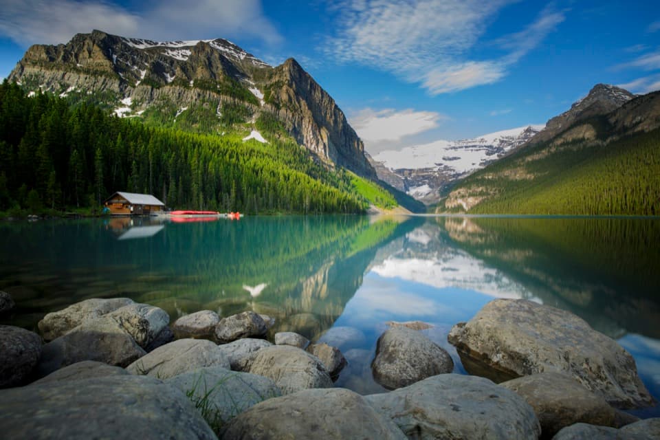
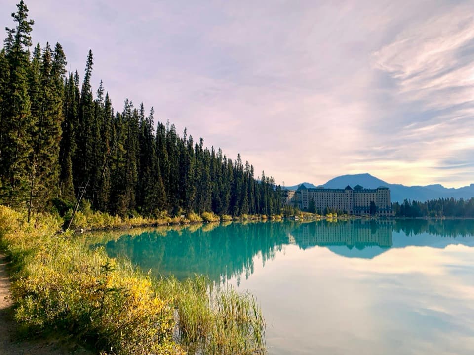
Lake Annette Trail in Banff National Park

Banff National Park, AB

Lake Annette Trail

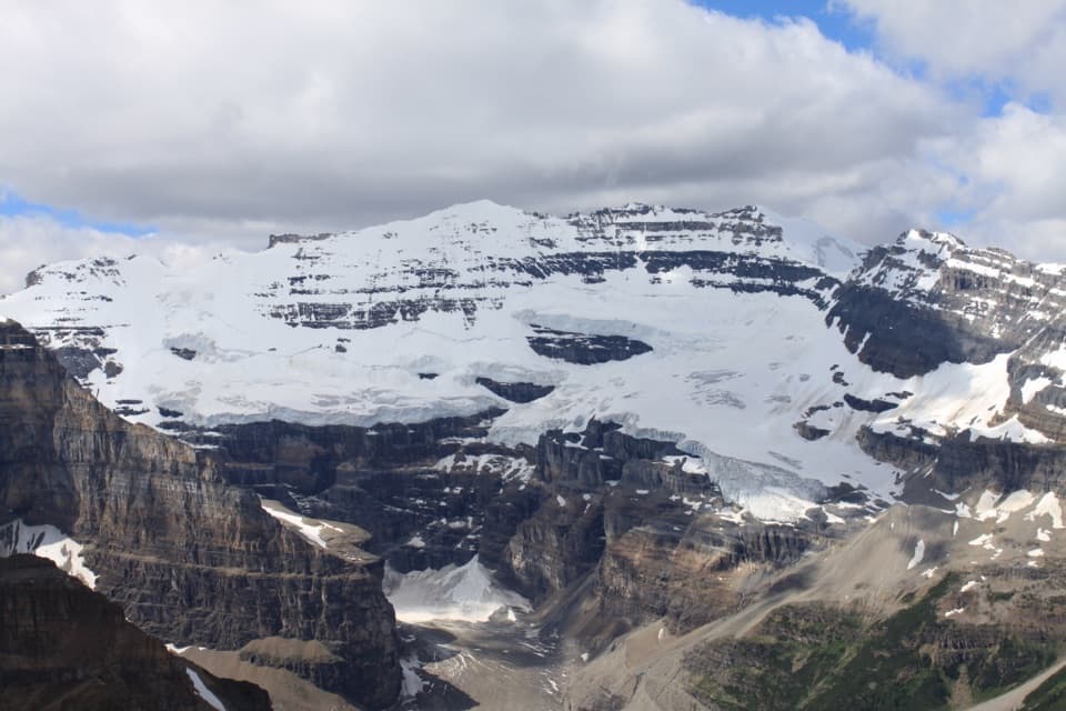
Follow Paradise Creek to a lake beneath Mount Temple.

Length
11.4km
Time
4hr
Elev. change
249m
Difficulty
Moderate
  • Dogs allowed
  • High point 1,975 m
  • #45 of 162 in Banff

Hear the audio tour

Walking on Water

Overview

About Lake Annette Trail

Why go

  • Lake Annette opens beneath Mount Temple, with larch color in late September.
  • A short bridge spur adds views of three named peaks.

Heads up

  • 11.4 km round trip with several Paradise Creek crossings.
  • No private-vehicle access on Moraine Lake Road; shuttle service is seasonal.

Map & elevation

The route

Loading the Banff map
Full map
Elevation1,726–1,975 m
TrailheadParadise Creek parking area / trailhead51.39603, -116.17201
Keep this map with you offline in the Parkwolf app

Plan your hike

Before you go

Parking

Use the Paradise Creek parking area on Moraine Lake Road. Personal vehicles are prohibited year-round; Parks Canada shuttles operate seasonally and licensed commercial operators also serve the road. Confirm a Paradise Creek drop-off and return connection before setting out. Cycling is permitted, but the road has little shoulder and commercial traffic.

Safety

Expect several crossings of Paradise Creek and a short steeper climb just before the lake. This is a backcountry outing; Parks Canada advises carrying bear spray and an emergency communication device. There is no cell service along Moraine Lake Road.

8 active Banff alerts

  • ClosureJohnston Canyon Trail and Day Use Area closedJohnston Canyon Trail and Day Use Area are closed to all traffic and travel through December 11, 2026, because construction work requires protecting public and workers’ safety.Official details
  • ClosureBaker Lake and Hidden Lake campgrounds closed to campingCamping is prohibited at Baker Lake and Hidden Lake campgrounds through December 1, 2026, because a grizzly bear entered campsites and investigated tents and gear; the closures reduce risk to…Official details
See all 8 alerts
A park ranger sits on a dash-mounted phone, talking, as Parkwolf’s Tour Guide plays “Army Cutworm Moths: A Grizzly Bear Buffet” on Grand Loop Road below Dunraven Pass in Yellowstone
Parkwolf Tour GuideThe highest, rockiest slopes around here are a summer buffet for grizzly bears.

Banff Tour Guide

Your drive to Lake Annette Trail, narrated.

Parkwolf is a GPS audio tour guide for Banff National Park. As you drive, it chimes in with what’s ahead: hidden gems, upcoming stops, history, geology, and wildlife, right through your car’s speakers.

See the Banff audio tour

Recorded for this area

Walking on Water
0:00 / 0:31
“The little insects skating across a pond are using a property of the water itself. Water molecules pull toward one another, creating surface tension that can support a water strider's weight.”

Plays on the road 1.6 km from the trailhead in the Parkwolf Banff Tour Guide.

More stories near here in the app

  • The Tiny Teeth on a Moss Capsule
  • Ice Beneath the Boulders
  • Lake Louise Campgrounds: Choose the Right Section
  • The Sea Duck in the Mountains
  • 185 audio storiesacross Banff’s roads, triggered by GPS as you drive
  • Wildlife heatmapsfor Grizzly Bear, Brown Bear, Gray Wolf, and 13 more
  • Works offlinemaps, 162 trails, 90 places, and audio download before you lose signal
  • CarPlay readysimple controls built for the drive
★★★★★
“…Loved the commentary as you drove thru. I’m sure the app can do more than I know but the tips were very helpful. I’m gonna use it when we go to Banff next month.”
tesja22App Store review
Download Parkwolf on the App StoreGet Parkwolf on Google Play

4.7 from 8,600+ ratings

Trail guide

Hiking Lake Annette Trail

Is this the right hike?Lake Annette Trail is a moderate out-and-back from the Paradise Creek trailhead on Moraine Lake…

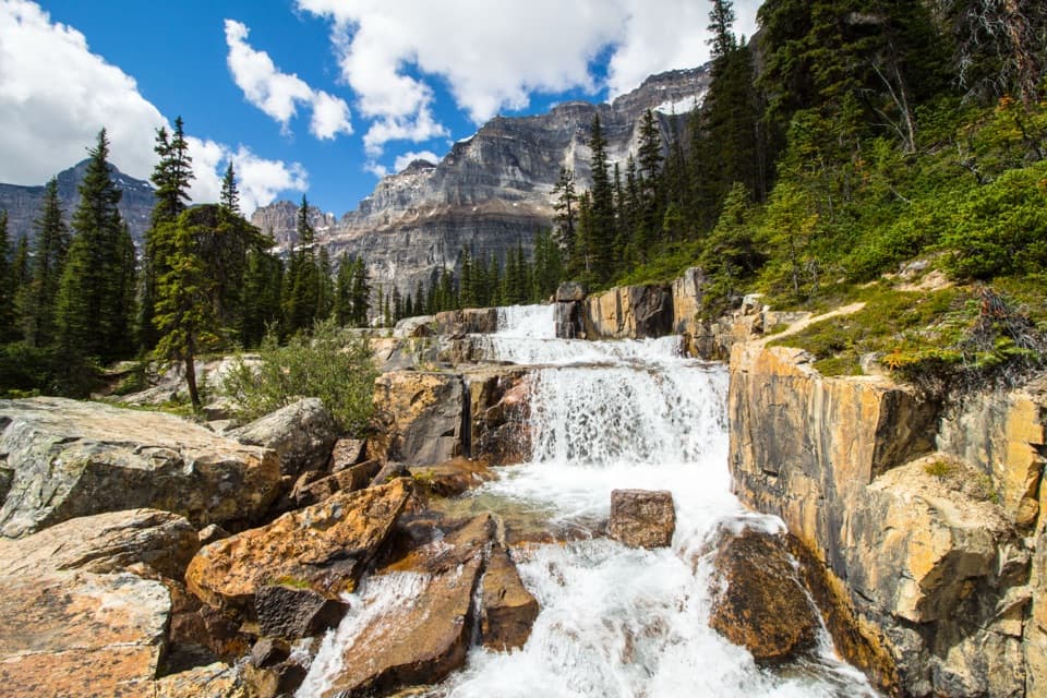
Lake Annette Trail is a moderate out-and-back from the Paradise Creek trailhead on Moraine Lake Road to an alpine lake beneath Mount Temple. The listed distance is 5.7 km each way, or 11.4 km (7.1 miles) return; allow 3–4 hours. Expect roughly 350 m of climbing on the way in. This is the lake-only outing; continuing to Giant Steps or Sentinel Pass makes a longer Paradise Valley hike.

Access and the early junctionStart at the Paradise Creek parking area.

Start at the Paradise Creek parking area. Personal vehicles are not permitted on Moraine Lake Road. Parks Canada shuttles run seasonally and licensed operators also use the road; check that a shuttle serves Paradise Creek and confirm your return ride before planning around it. Cycling is another way in, but the narrow road has little shoulder and commercial traffic. No food, toilets or drinking water were verified at the trailhead or along the walk. During the usual summer hiking season, dogs are allowed unless a trail restriction is posted; keep them leashed and under control.

The path enters dense evergreen forest on a broad, mossy tread. Around 1 km the grade eases and glimpses of Little Temple open through the trees. A short left spur reaches a bridge over Paradise Creek, with views toward Sheol, Haddo and Saddleback mountains. Return to the main route and follow the branch for Lake Annette.

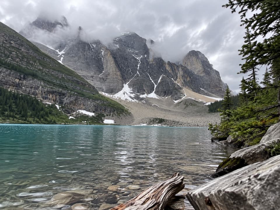
Through Paradise ValleyThe trail climbs gently, then rolls downhill before opening to broader mountain views.

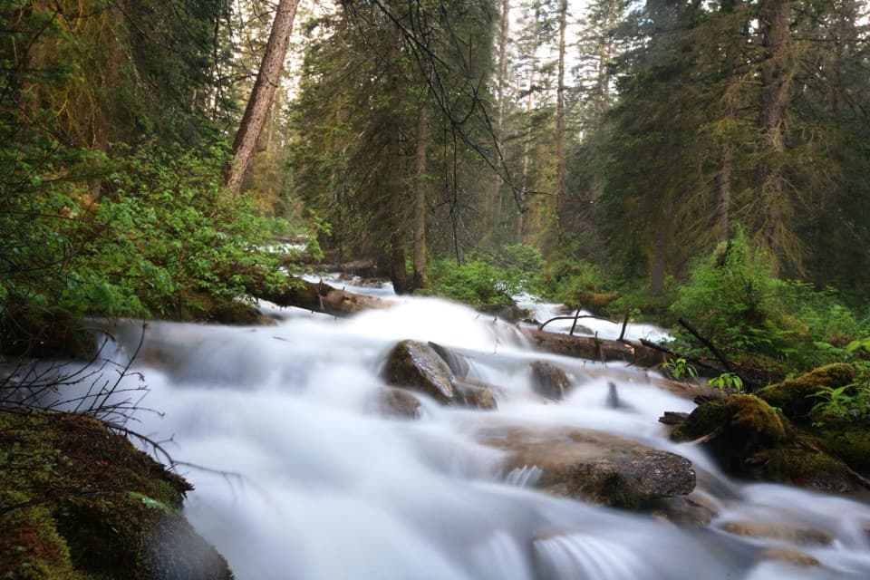
The trail climbs gently, then rolls downhill before opening to broader mountain views. At about 3.7 km it crosses Paradise Creek; roughly 600 m later it crosses back and follows the water for a stretch. At the Saddleback Pass junction, around 4.6 km, stay on the Lake Annette route rather than turning toward the pass. The path narrows near the end. A final creek crossing at about 5.2 km leads into the steepest short climb, then the trees part at the shore.

At the lakeLake Annette sits below Mount Temple, with spruce and larch around the water and a talus pile…

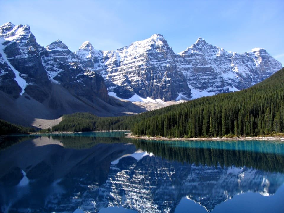
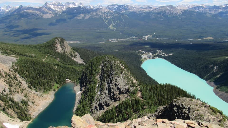
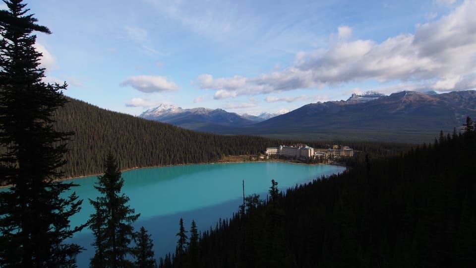
Lake Annette sits below Mount Temple, with spruce and larch around the water and a talus pile at the far end where pikas are reported. Mid-to-late September is the usual golden larch window. If the surface is calm, frame Mount Temple across the lake and let the larches and shoreline reflections carry the foreground; pika sightings are a bonus, not a sure thing. The lake is the turnaround, so the forest and creek crossings are retraced on the way back.

Wildlife

Wildlife in Banff

All Banff wildlife maps

Sighting maps show where each species has been reported across Banff. Wildlife moves, so no sighting is guaranteed.

Keep exploring

Near Lake Annette Trail

See it all on the map

Trails that start nearby

Places near the trailhead

Parkwolf’s Banff ranking

Top-rated trails in Banff

All 162 trails
  1. 1Sentinel Pass via Larch Valley TrailChallenging · 11.2 km
  2. 2Plain of Six Glaciers TrailModerate · 11.6 km
  3. 3Lake Agnes TrailModerate · 7.8 km
  4. 4Johnston Canyon Trail to Upper FallsEasy · 4.8 km
  5. 5Larch Valley / Minnestimma Lakes TrailModerate · 9 km
  6. 6Parker Ridge TrailModerate · 5.6 km

Take Parkwolf to Banff.

The audio tour guide for the drive, plus offline maps, trails, and wildlife heatmaps for when the signal drops.

4.7 from 8,600+ ratings

Download Parkwolf on the App StoreGet Parkwolf on Google Play