Parking
Parks Canada directs hikers to transit to the Paradise Valley trailhead. The limited Paradise Valley shuttle seats are first come, first served; the small parking area can fill early. Use designated parking only.

Banff National Park, AB
A long climb to the saddle above the Ten Peaks.
Overview
Map & elevation
Plan your hike

The highest, rockiest slopes around here are a summer buffet for grizzly bears.
Banff Tour Guide
Parkwolf is a GPS audio tour guide for Banff National Park. As you drive, it chimes in with what’s ahead: hidden gems, upcoming stops, history, geology, and wildlife, right through your car’s speakers.
See the Banff audio tourRecorded for this area
Walking on Water“The little insects skating across a pond are using a property of the water itself. Water molecules pull toward one another, creating surface tension that can support a water strider's weight.”
Plays on the road 1.6 km from the trailhead in the Parkwolf Banff Tour Guide.
More stories near here in the app
“…Loved the commentary as you drove thru. I’m sure the app can do more than I know but the tips were very helpful. I’m gonna use it when we go to Banff next month.”


Trail guide
This is an out-and-back from the Paradise Valley trailhead, over Sentinel Pass and down into Larch Valley before returning along the same route. Parks Canada lists 14.2 km one way, so plan on 28.4 km (17.6 miles) total and 9 to 10 hours for the return hike. The route gets harder as it climbs: forest and Lake Annette give way to open alpine slopes, then steep scree and boulders near the pass. It is a demanding day for experienced hikers, with a dramatic view into Paradise Valley on one side and the Ten Peaks on the other.
Parks Canada directs hikers to transit to the Paradise Valley trailhead. The limited Paradise Valley shuttle seats are first come, first served. The small parking area can fill early, so check the access plan before setting out and use designated parking only. There is no food service along the hike; bring what you need for a long day. The route recorded here turns back from Larch Valley. Moraine Lake is farther along that trail network, but reaching it makes a different, longer through-hike that needs its own transport plan.
The first stretch climbs through spruce and fir forest on a broad dirt path. Openings between the trees bring Mount Temple into view, and wooden bridges cross Paradise Creek. Lake Annette arrives about 5.6 km in, tucked beneath Temple’s north face. It is a striking place to pause, but the hard part is still ahead. From the lake, the route crosses rocky slopes and climbs into a high basin with views toward the peaks at the head of the valley.
The path leaves the forest and becomes rougher as it crosses a rockslide and open alpine ground. Around 8 km, a branch leads to the Giant Steps waterfalls; that is a separate destination, so stay on the Sentinel Pass route. Above the junction, larches and rocky meadows lead toward the pass. The final approach is steep, with loose scree and boulder fields; the tread can fade and route-finding is required. Snow makes the line harder to follow, so turn around if you cannot confidently pick it out.
The pass is a high saddle, about 2,611 m, between Mount Temple and Pinnacle Mountain. To the north, the route drops back toward Paradise Valley; to the south, the Ten Peaks rise above Minnestimma Lakes and the head of Larch Valley. The recorded line continues down from the saddle into Larch Valley before turning back. This is the route’s signature view: from the pass, frame the pinnacles and scree close by with the lakes and jagged skyline beyond.
Wildlife
 123 sightingsGrizzly BearMost seen around 6 AMSighting map
 150 sightingsBrown BearMost seen around 6 PMSighting map
 44 sightingsGray WolfMost seen around 6 AMSighting map
 12 sightingsRiver OtterMost seen around 8 PMSighting map
 69 sightingsMooseMost seen around 8 PMSighting map
 466 sightingsBlack BearMost seen around 9 PMSighting map
Sighting maps show where each species has been reported across Banff. Wildlife moves, so no sighting is guaranteed.
Keep exploring
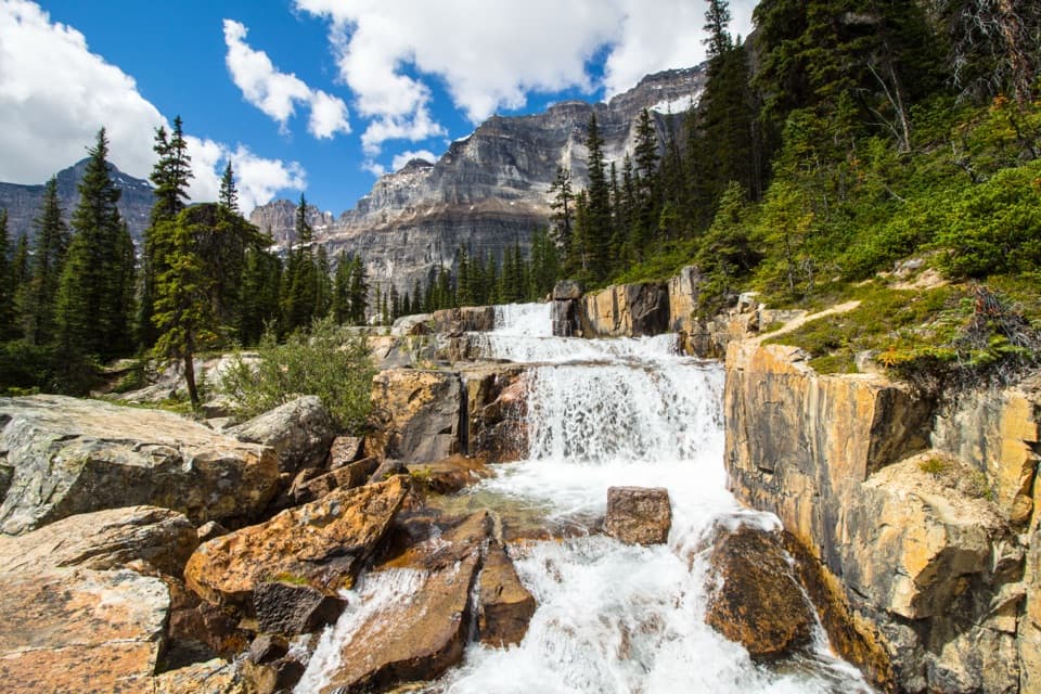 ChallengingParadise Valley and Giant Steps Trail19.6 km · 7.5 hr · At the trailheadA full-day valley hike to Lake Annette and Giant Steps waterfall.
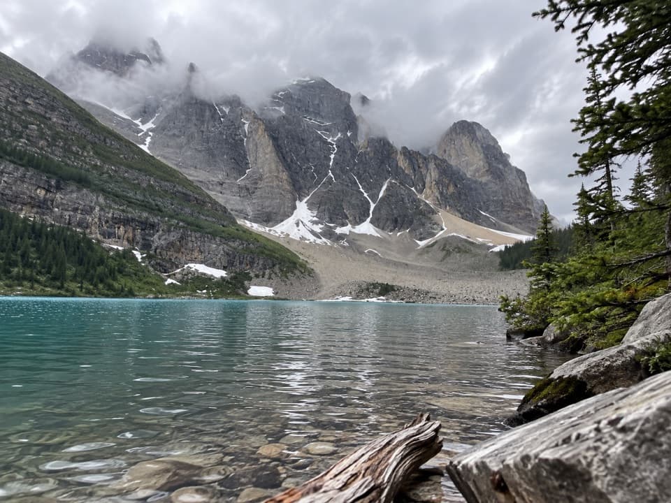 ModerateLake Annette Trail11.4 km · 4 hr · At the trailheadFollow Paradise Creek to a lake beneath Mount Temple.
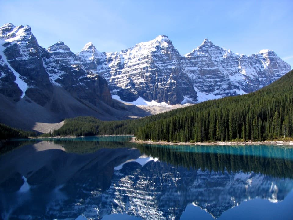 ChallengingMoraine Lake Highline Trail9.3 km · 4 hr · 0.9 km awayA rugged one-way traverse to Moraine Lake below Mount Temple.
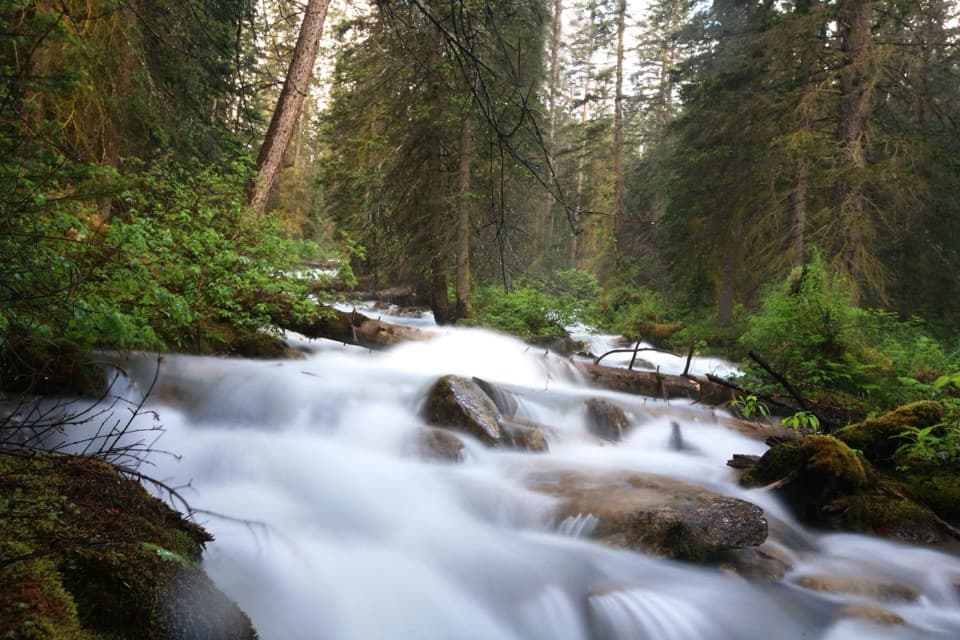 EasyLouise Creek Trail2.4 km · 1 hr · 3 km awayA short creek path linking the Bow River and Tramline trails.
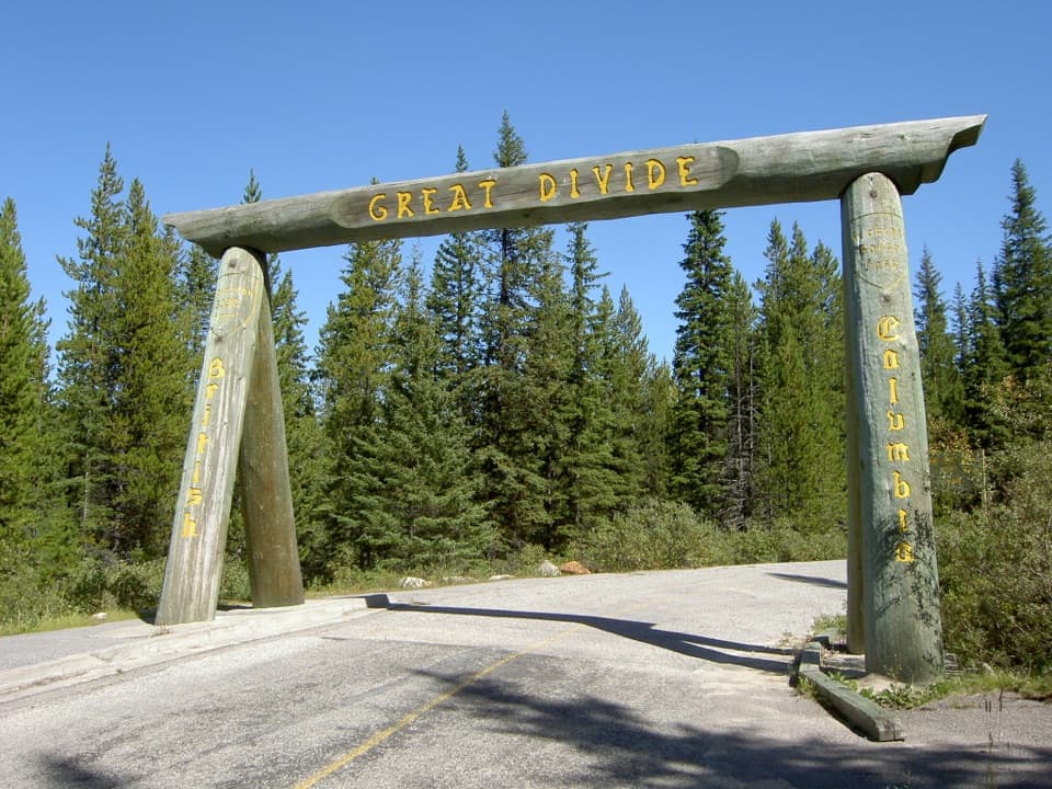 ModerateGreat Divide Trail at Lake Louise19.6 km · 6.5 hr · 3.3 km awayA long, gentle return along former Highway 1A into Yoho.
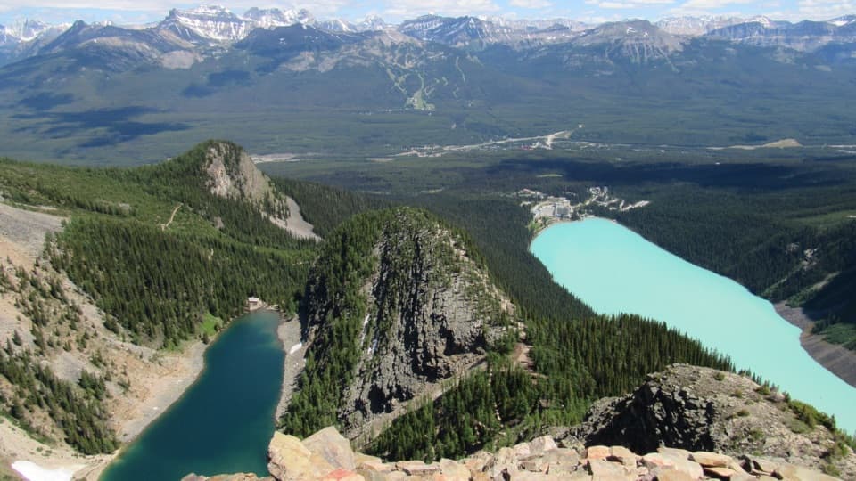 ChallengingDevil’s Thumb Trail12.1 km · 6.5 hr · 3.6 km awayTwo lakes, one rocky summit, and a steep, unmarked finish.
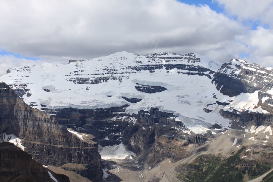 ChallengingFairview Mountain Trail10 km · 5.5 hr · 3.7 km awayA steep larch climb to an exposed summit above Lake Louise
 ModerateLake Agnes Trail7.8 km · 3 hr · 3.7 km awayThree alpine lakes and a historic tea house beneath sharp peaks.
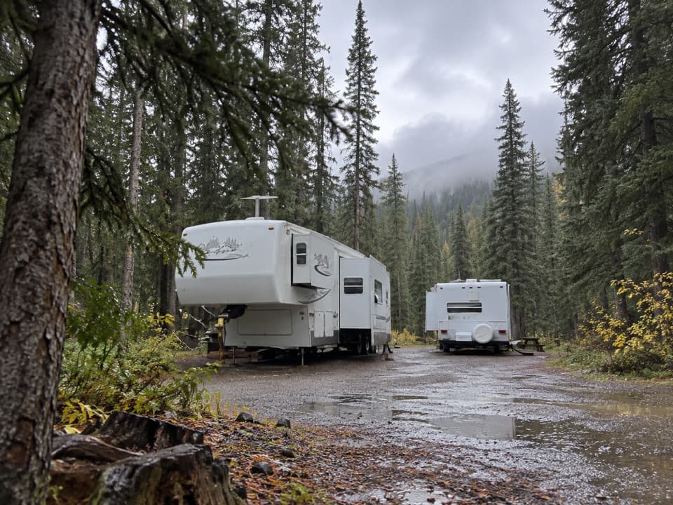 Campground · 1.7 km awayLake Louise Hard-sided CampgroundRV base with electric sites near Lake Louise; trains run nearby.
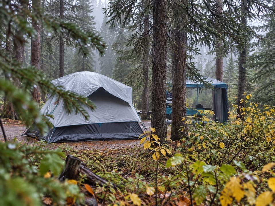 Campground · 2.4 km awayLake Louise Soft-sided CampgroundA fenced, unserviced tent base for Lake Louise outings.
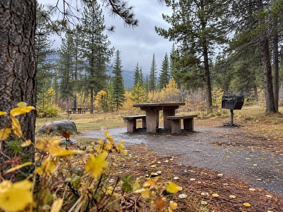 Picnic area · 2.4 km awayCorral Creek Picnic AreaTables and outhouses make a useful Bow Valley Parkway pause.
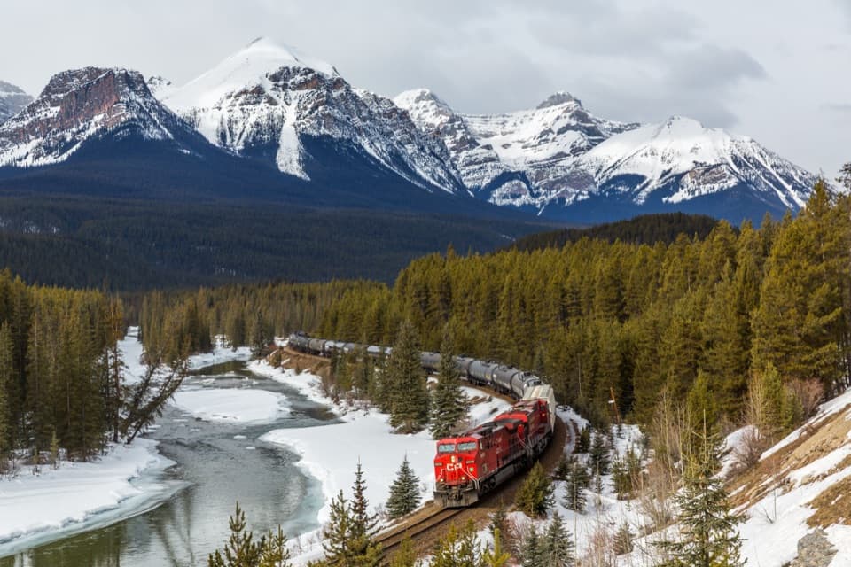 Sight · 3.1 km awayMorant’s CurveA river, railway curve and high peaks in one frame.
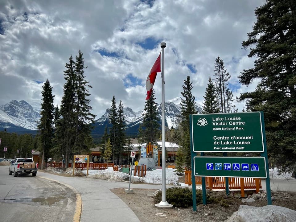 Visitor center · 3.4 km awayLake Louise Visitor CentreGet local advice and shuttle options before heading to the lake.
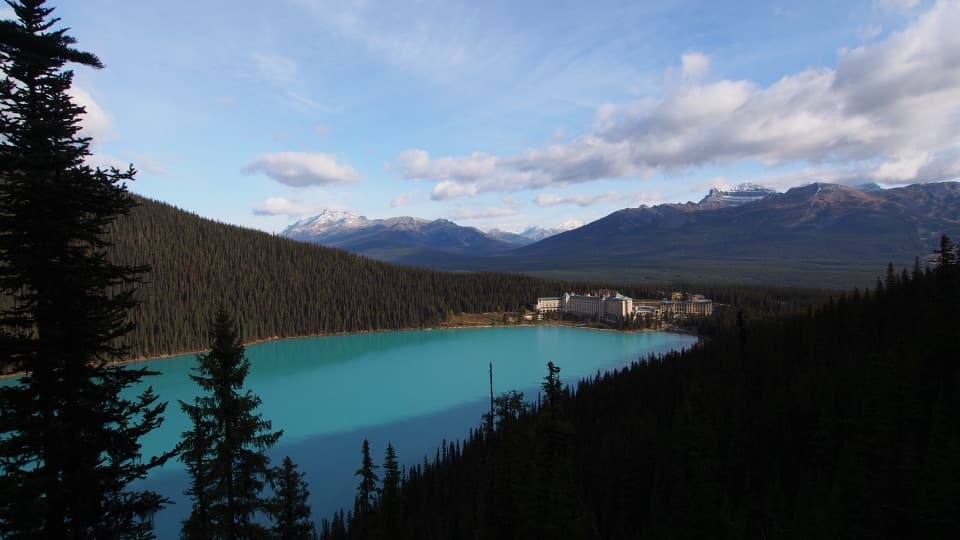 Sight · 3.8 km awayFairview LookoutA steep climb pays off with Lake Louise and the Chateau
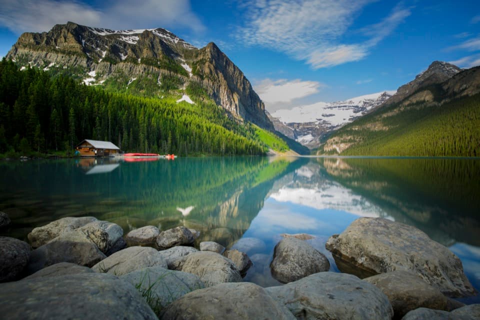 Sight · 3.9 km awayLake LouiseGo early for turquoise water beneath Victoria Glacier.
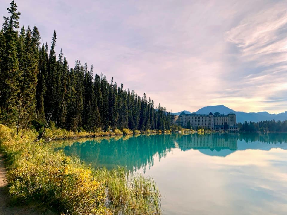 Lodging · 3.9 km awayFairmont Chateau Lake LouiseSleep beside Lake Louise, with a glacier-facing path at the door.
Parkwolf’s Banff ranking

The audio tour guide for the drive, plus offline maps, trails, and wildlife heatmaps for when the signal drops.



