Parking
Use the gravel Sunset Pass pullout on the east side of Icefields Parkway, about 16.5 km north of Saskatchewan River Crossing. It sits at the bottom of a hill and is not signed from the highway.
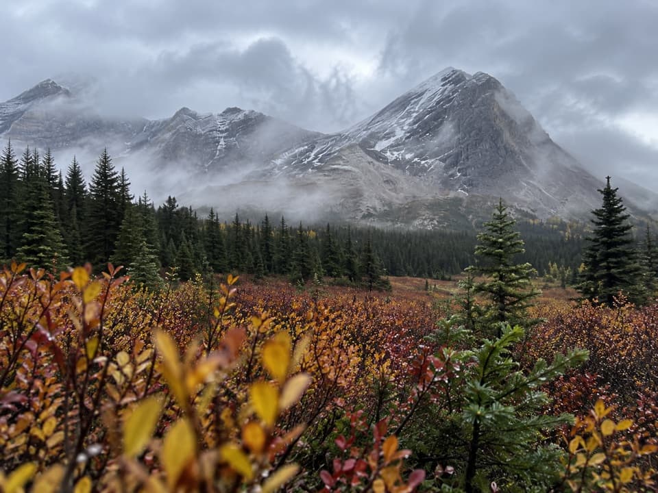
Banff National Park, AB
A steep forest climb opens onto remote meadows beneath a high pass.
Overview
Map & elevation
Plan your hike

The highest, rockiest slopes around here are a summer buffet for grizzly bears.
Banff Tour Guide
Parkwolf is a GPS audio tour guide for Banff National Park. As you drive, it chimes in with what’s ahead: hidden gems, upcoming stops, history, geology, and wildlife, right through your car’s speakers.
See the Banff audio tourRecorded for this trailhead
Sunset Pass Trailhead: Lookout or Meadows“You're coming up on the Sunset Pass trailhead, where both hikes begin with a steep forest climb.”
Plays as you drive up to this trailhead in the Parkwolf Banff Tour Guide.
More stories near here in the app
“…Loved the commentary as you drove thru. I’m sure the app can do more than I know but the tips were very helpful. I’m gonna use it when we go to Banff next month.”


Trail guide
Sunset Pass is a hard, 16.2 km out-and-back from the Icefields Parkway, climbing 8.1 km each way from forest into broad willow meadows and up to a high pass. Allow about 6–7 hours and roughly 725 m of climbing. The steep start, creek crossings and tall willows make this a full-day hike; a Banff park-entry pass is required. Dogs may accompany you on leash.
The trail gains height quickly on rocky, root-covered switchbacks. Short side paths reach views over Norman Creek Falls; return to the main tread after each stop. Near the top of this climb, the Sunset Lookout trail branches away. The pass route continues through forest beyond the junction.
The woods open into a broad, wet meadow beside Norman Creek. Norman Creek Campground sits in spruce a little way beyond the meadow’s start, with campsites and tables. Past camp, follow the meadow edge and cross the creek again. Tall willows can close over the narrow tread, so pay attention at the marked crossing. The meadow looks toward Mount Coleman, with Mount Wilson behind you to the southwest.
Beyond the meadow, the path climbs through open subalpine trees to the height of land near the park boundary, then reaches a pale limestone bench. A short continuation northeast beyond the pass reaches a cliff view toward Pinto Lake; it adds about 0.6 km each way and is outside the mapped 16.2 km out-and-back. The route continues downhill toward Pinto Lake beyond that viewpoint, a much longer backcountry trip.
Sunset Lookout is a different branch near the upper switchbacks, not part of the pass route. It adds about 3.2 km round trip and leads to the remains of an old fire lookout, including foundation pieces and lightning-conductor cables. Treat it as an optional extension and keep daylight for the long return.
Wildlife
 123 sightingsGrizzly BearMost seen around 6 AMSighting map
 150 sightingsBrown BearMost seen around 6 PMSighting map
 44 sightingsGray WolfMost seen around 6 AMSighting map
 12 sightingsRiver OtterMost seen around 8 PMSighting map
 69 sightingsMooseMost seen around 8 PMSighting map
 466 sightingsBlack BearMost seen around 9 PMSighting map
Sighting maps show where each species has been reported across Banff. Wildlife moves, so no sighting is guaranteed.
Keep exploring
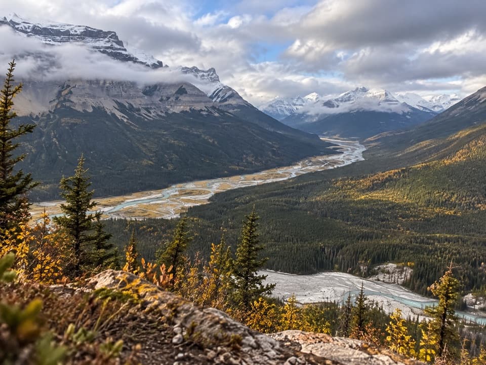 ChallengingSunset Lookout Trail9 km · 3.5 hr · At the trailheadA steep climb to a former lookout above two braided river valleys.
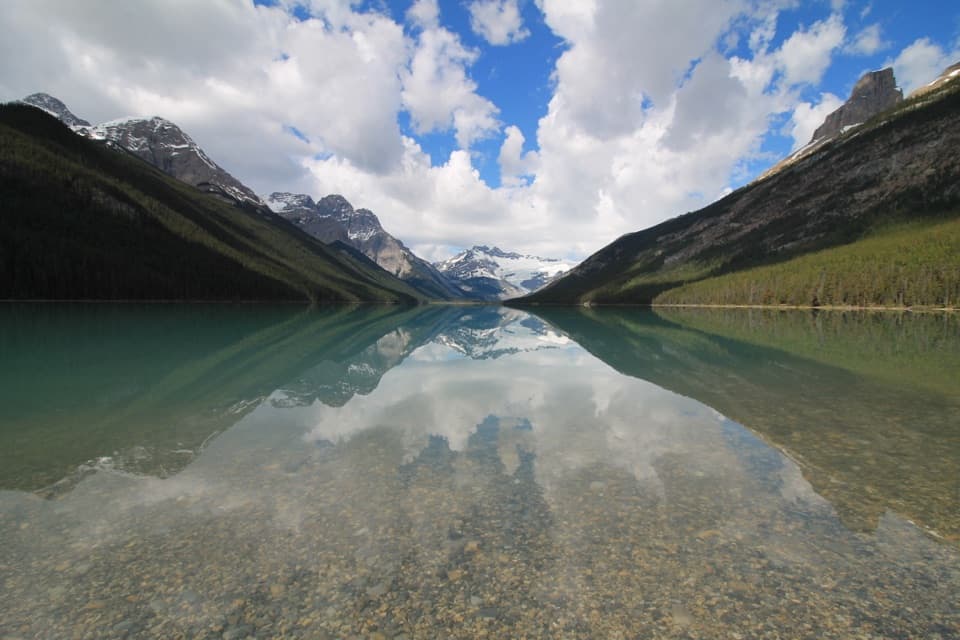 ChallengingGlacier Lake Trail17 km · 6 hr · 14.8 km awayBraided river views, red chairs and a long walk to Glacier Lake.
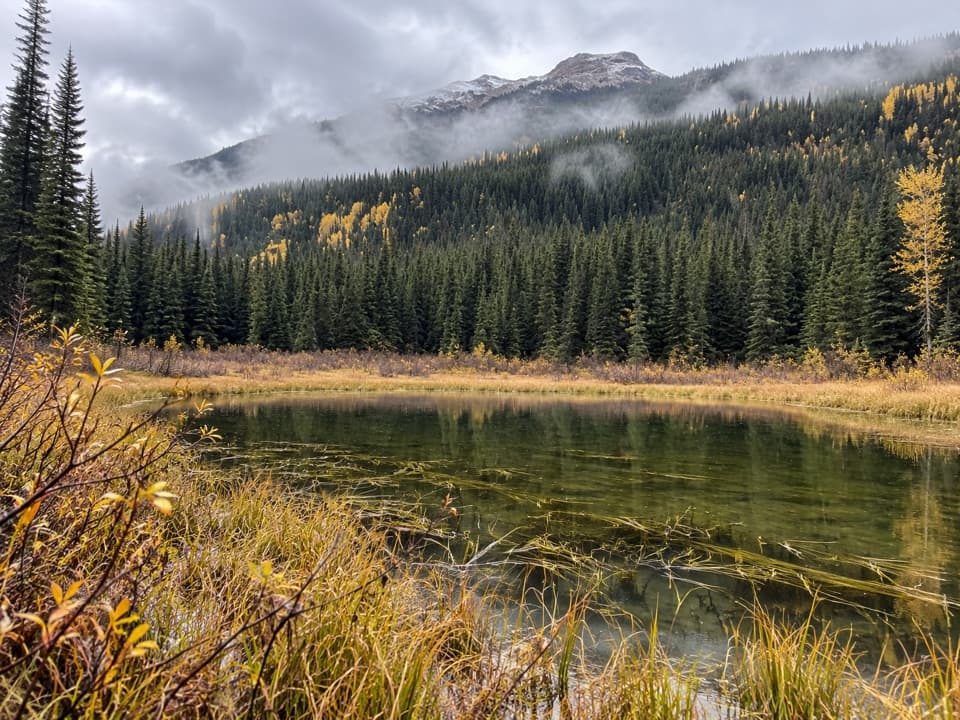 ChallengingHowse Pass Trail42.8 km · 20 hr · 16.6 km awayA remote divide crossing through river flats and nearly vanished trail.
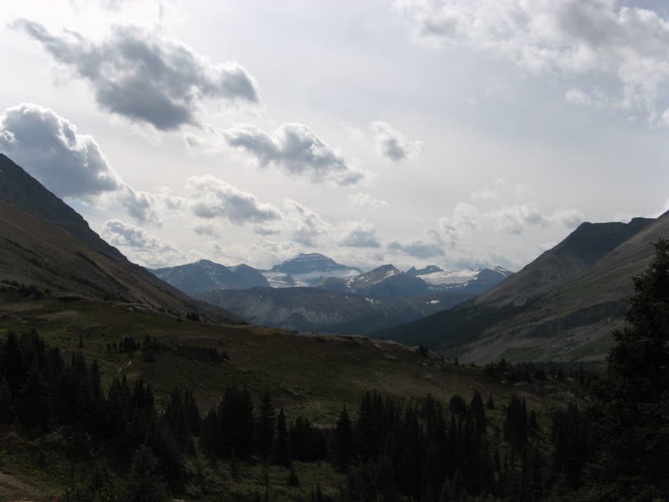 ModerateNigel Pass Trail15.8 km · 5.5 hr · 17 km awayAn old road leads to the rocky pass above Brazeau River Valley.
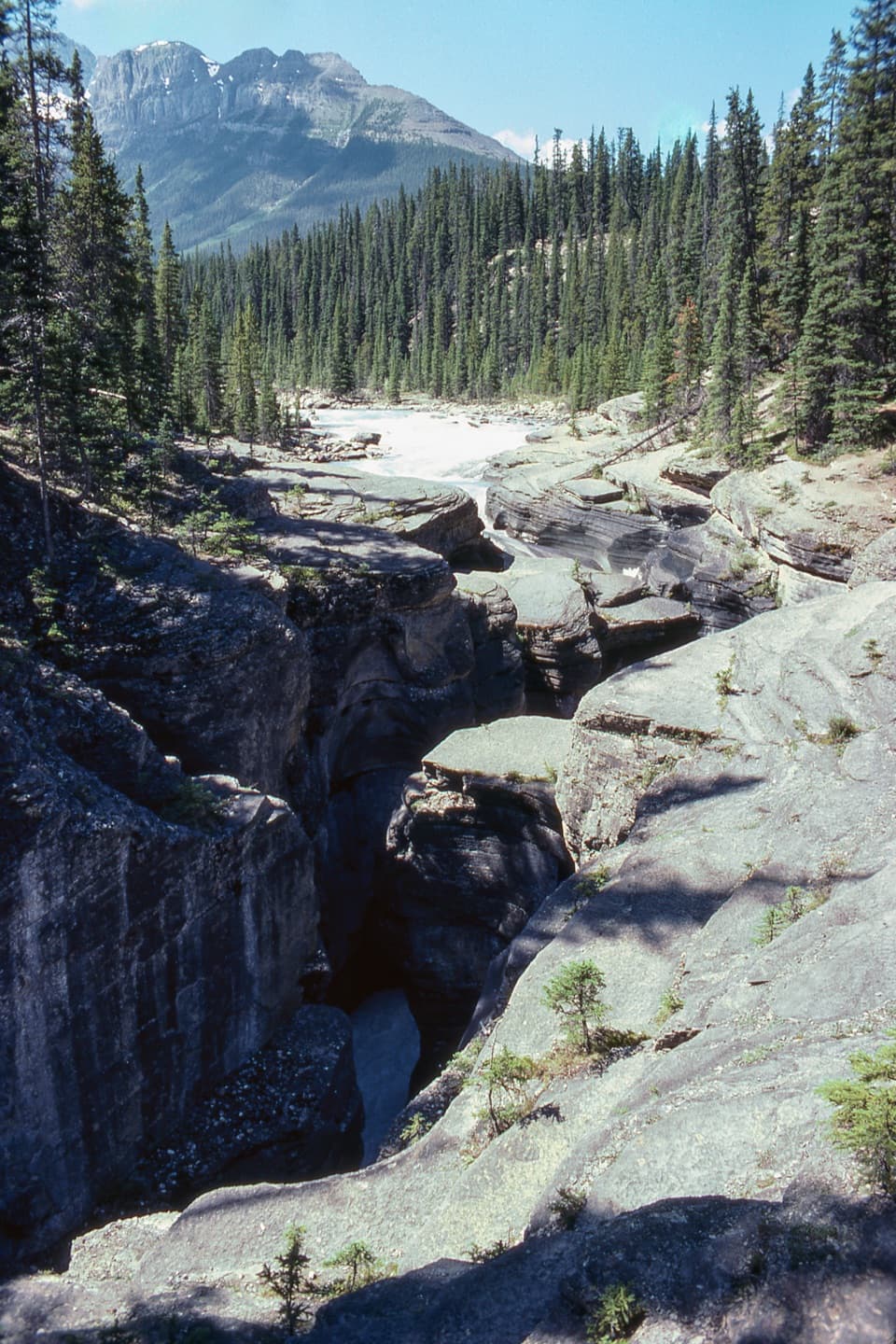 EasyMistaya Canyon Trail1 km · 24 min · 19.4 km awayA short, steep drop to the bridge over a carved limestone gorge.
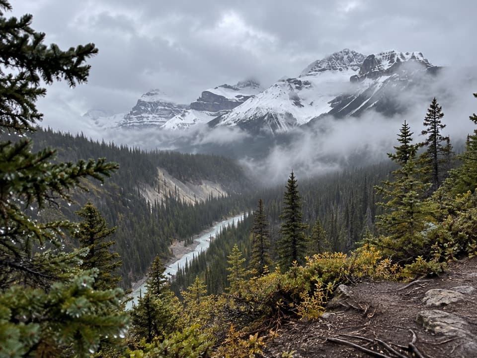 ChallengingSarbach Lookout Trail10.2 km · 4.5 hr · 19.4 km awayA steady forest climb ends at a rocky former lookout.
 ModerateParker Ridge Trail5.6 km · 2.5 hr · 19.6 km awayA steep ridge climb opens onto the Saskatchewan Glacier.
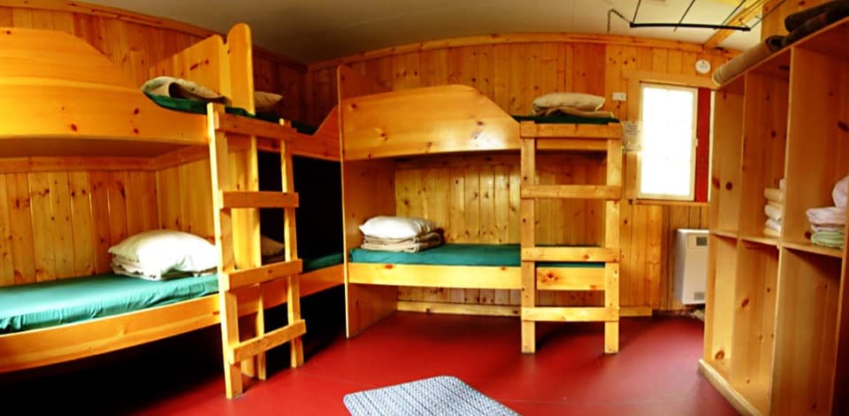 Lodging · 4.3 km awayHI Rampart Creek Wilderness HostelAn off-grid hostel stay with mountain quiet and a shared kitchen.
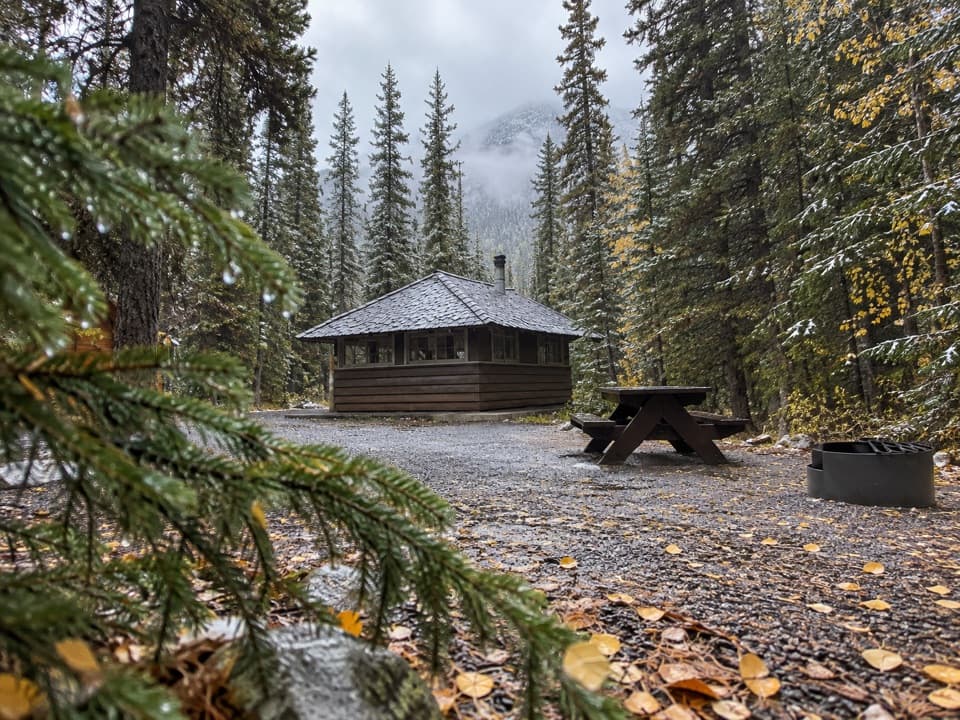 Campground · 4.4 km awayRampart Creek CampgroundA wooded riverside camp for a quieter Icefields Parkway night.
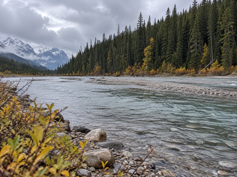 Picnic area · 6.2 km awayColeman Creek Day-use AreaA creekside picnic break on the long Icefields Parkway drive.
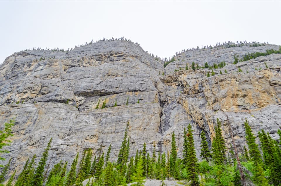 Sight · 11.7 km awayWeeping Wall ViewpointSnowmelt falls give way to winter ice columns on this cliff.
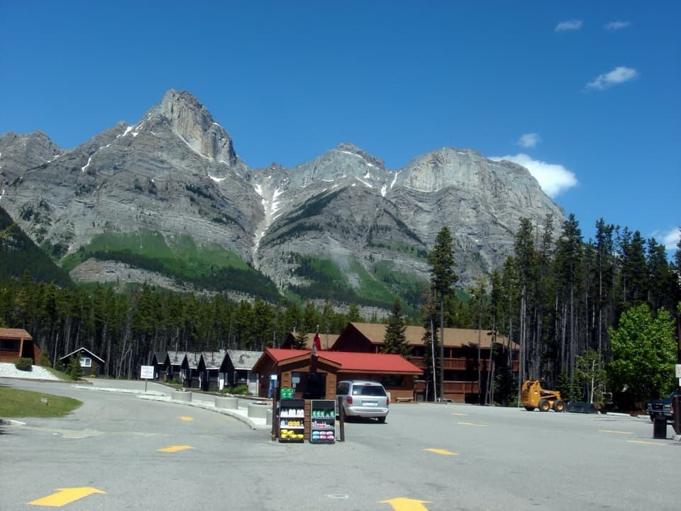 Lodging · 15.3 km awayThe Crossing ResortA remote Parkway stop with beds, meals, and fuel.
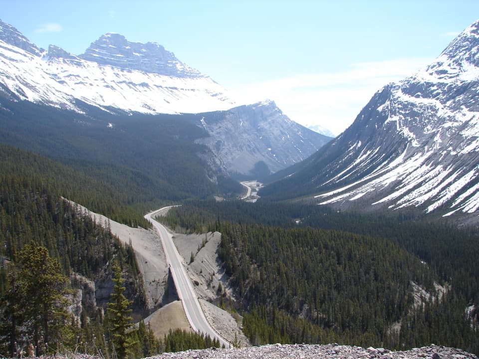 Scenic pullout · 15.6 km awayBig Bend ViewpointA quick pullout for the Parkway’s sweeping bend and mountain backdrop.
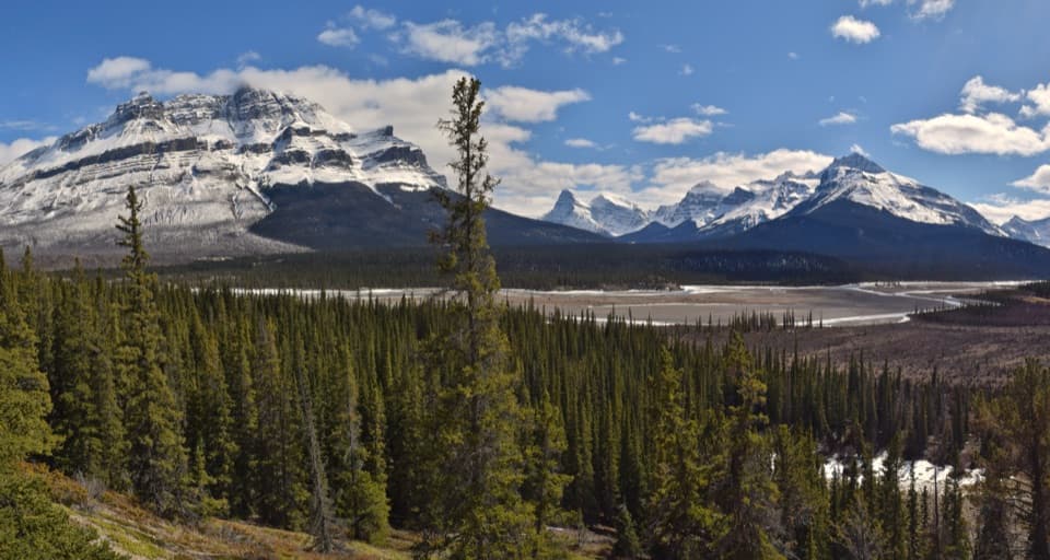 Scenic pullout · 16 km awayHowse Pass ViewpointA quick Parkway pause for braided river and mountain views.
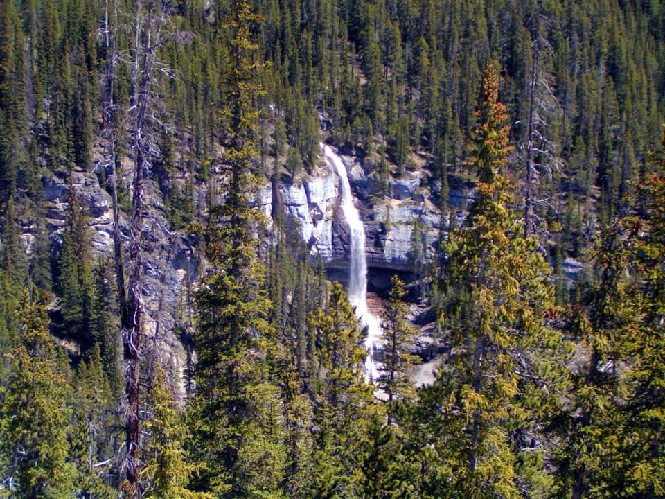 Scenic pullout · 16 km awayBridal Veil Falls ViewpointA glacier-fed waterfall you can see from the Icefields Parkway.
Parkwolf’s Banff ranking

The audio tour guide for the drive, plus offline maps, trails, and wildlife heatmaps for when the signal drops.




