Parking
From the WY-296 and US 212 junction, drive about 4.8 miles west on US 212 and turn at the Forest Service Pilot-Index sign; the kiosk is roughly 400 yards ahead. The turnaround has parking and a vault toilet.
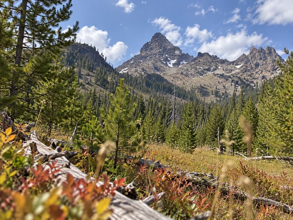
Beartooth Highway, MT · WY
A long creekside climb to falls, crags, and a grassy meadow.
Overview
Pilot Creek Trail is a 12.5-mile out-and-back from the Pilot-Index Trailhead, climbing about 6.3 miles one way beside Pilot Creek toward the Yellowstone boundary. The route follows a forested canyon, passes seasonal waterfalls and a rocky view of Pilot Peak, crosses seven streams, and reaches a high meadow before the rougher upper end. It is a long day for hikers who want a steady high-country climb and are happy to retrace their steps. Allow about 6–8 hours. The upper end is around 8,600 feet, with roughly 1,800 feet of ascent. If a 12.5-mile day is too much, the grassy knob overlooking the creek at about mile 2.8 makes a natural turnaround for a 5.6-mile outing.
 Parkwolf’s verdictIs this the hike for you?
Map & elevation
Plan your hike

The highest, rockiest slopes around here are a summer buffet for grizzly bears.
Beartooth Highway Tour Guide
Parkwolf is a GPS audio tour guide for Beartooth Highway. As you drive, it chimes in with what’s ahead: hidden gems, upcoming stops, history, geology, and wildlife, right through your car’s speakers.
See the Beartooth Highway audio tourRecorded for this area
Seeds Sealed for a Fire“Some lodgepole pines keep a supply of seeds sealed up for years. Their cones are glued shut with resin, which can melt in the heat of a fire.”
Plays on the road 0.4 mi from the trailhead in the Parkwolf Beartooth Highway Tour Guide.
More stories near here in the app
“Fantastic app with many points of information… It’s great to just turn on while you’re driving and it gives you an audio tour of the national Park. We love it!!!!”


Trail guide
The opening stretch climbs through evergreen forest beside the creek, then angles away from the water after about half a mile. The path keeps climbing gently, with good footing through the first four miles. Around mile 1.8, look across the canyon for seasonal waterfalls dropping from the high peaks during early runoff. Pilot Peak’s craggy spire comes into view to the north around mile 2. The trail is an approach toward the peak, not a route to its summit.
Seven stream crossings break up the walk. Six are described as small hops; the larger crossing near mile 4 can wet your feet. This is a creek valley, so the snowmelt story is right in front of you: small brooks and tributaries feed Pilot Creek as it gathers water on its way toward the Clark’s Fork of the Yellowstone.
Around mile 4.2, the canyon opens into a broad green meadow with an undeveloped campsite. Elk and calves use the meadow, so give them room if you see them. It is a lovely place to pause, but reaching it and walking back is already about 8.4 miles. The grassy knob at mile 2.8 is the better shorter option if you want the creek view without making this a full-day hike.
Past the meadow, the trail continues uphill along Pilot Creek but gets rougher. Deadfall and flooded stretches are reported in these upper miles, so the going is less predictable than on the lower trail. Near its end, the route leaves the trees with a rocky ridge marking the Yellowstone boundary ahead. The trail stops below that ridge; for this outing, turn around and return to Pilot-Index the same way.
From the junction of WY-296 and US 212, drive about 4.8 miles west on US 212 to the Forest Service sign for Pilot-Index Trailhead; the kiosk is another roughly 400 yards ahead. There is a parking turnaround and a vault toilet, but no food or drinking-water service was identified at the trailhead. Dogs are allowed on National Forest trails; keep them under control and do not let them chase wildlife.
Wildlife
 42 sightingsGrizzly BearMost seen around 7 AMSighting map
 22 sightingsGray WolfMost seen around 6 AMSighting map
 49 sightingsBisonMost seen around 6 AMSighting map
 122 sightingsMooseMost seen around 6 AMSighting map
 260 sightingsMountain GoatMost seen around 7 AMSighting map
 16 sightingsBighorn SheepMost seen around 7 PMSighting map
Sighting maps show where each species has been reported across Beartooth Highway. Wildlife moves, so no sighting is guaranteed.
Keep exploring
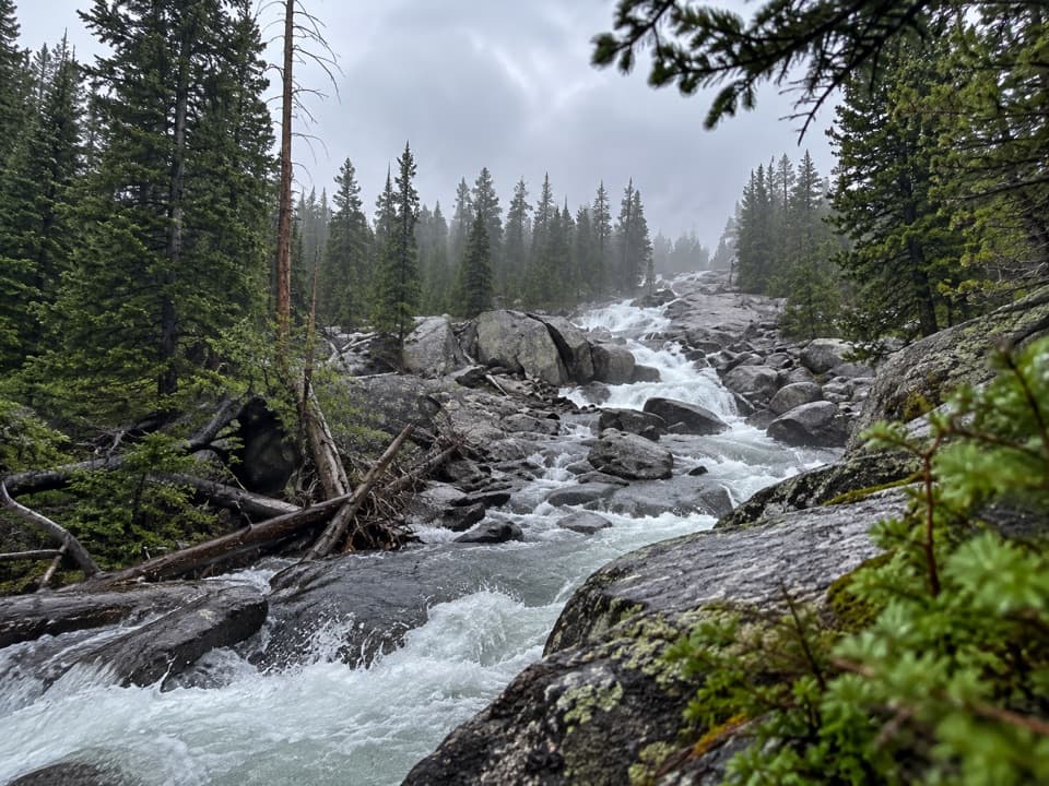 ChallengingLake Reno Trail10.2 mi · 7 hr · 2 mi awayA long wilderness climb reaches Lake Reno
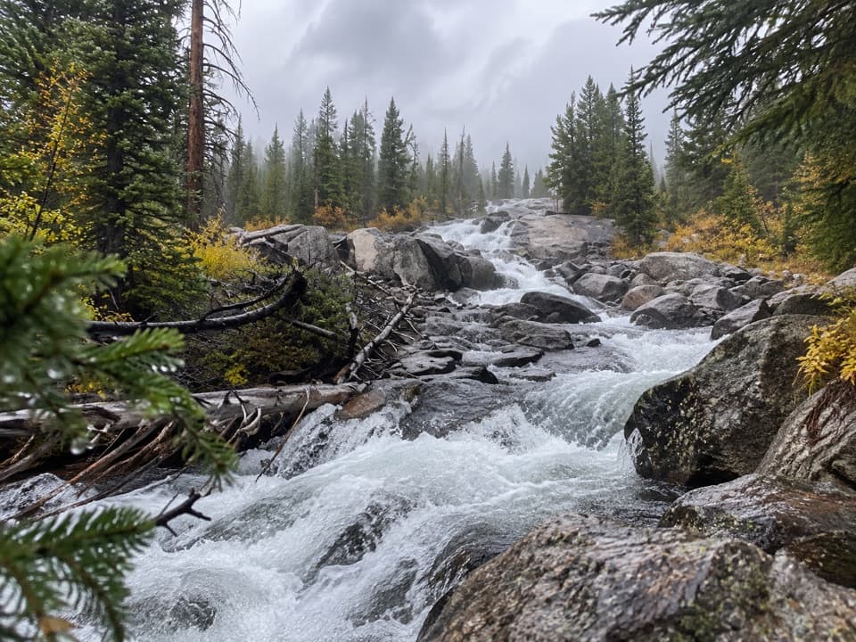 EasyCrazy Creek Falls Trail0.2 mi · 15 min · 2 mi awayA quick walk to a cascade that changes with the season.
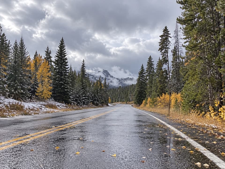 ChallengingCrazy Creek Trail #56811 mi · 7.5 hr · 2 mi awayA long climb from US 212 into Beartooth lake country.
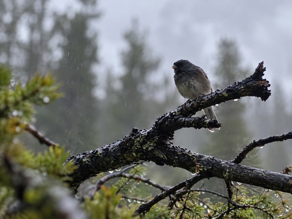 ModerateBig Moose Lake Trail6 mi · 4 hr · 3.2 mi awayA high-country lake at the end of a three-mile mountain trail.
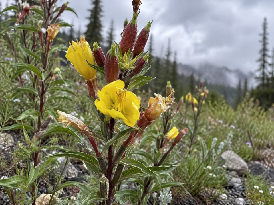 ModerateLost Lake Trail #6174.8 mi · 3.5 hr · 3.8 mi awayA steep climb through high country ends beside a lake.
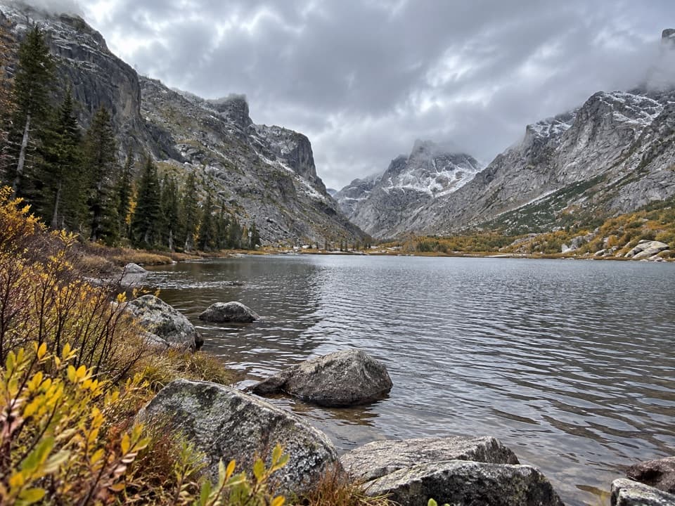 EasyKersey Lake Trail3 mi · 1.3 hr · 5.2 mi awayAn easy three-mile return to a trout lake on the Beaten Path
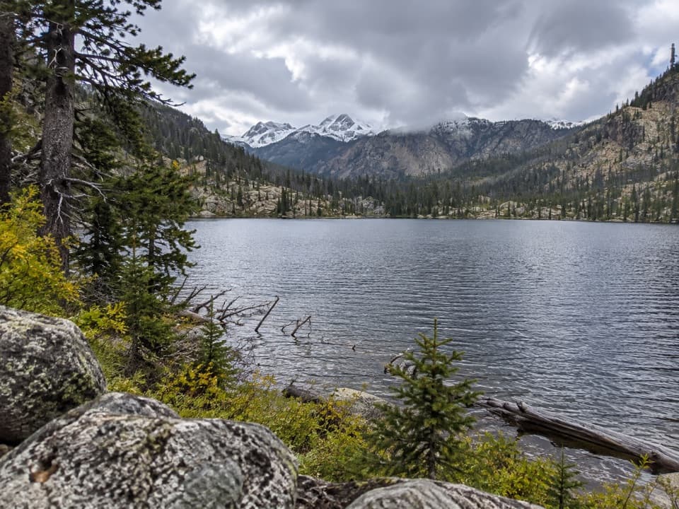 ModerateBroadwater River to Curl Lake Trail6.5 mi · 4.5 hr · 5.2 mi awayMarshy meadows and a rough final approach to Curl Lake
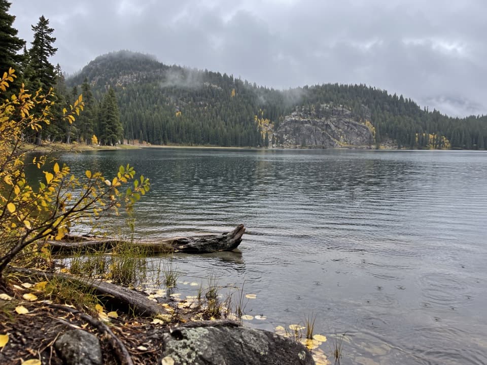 ModerateFox Lake Trail9 mi · 5 hr · 5.2 mi awayA high-country trout lake rewards the long walk from the highway.
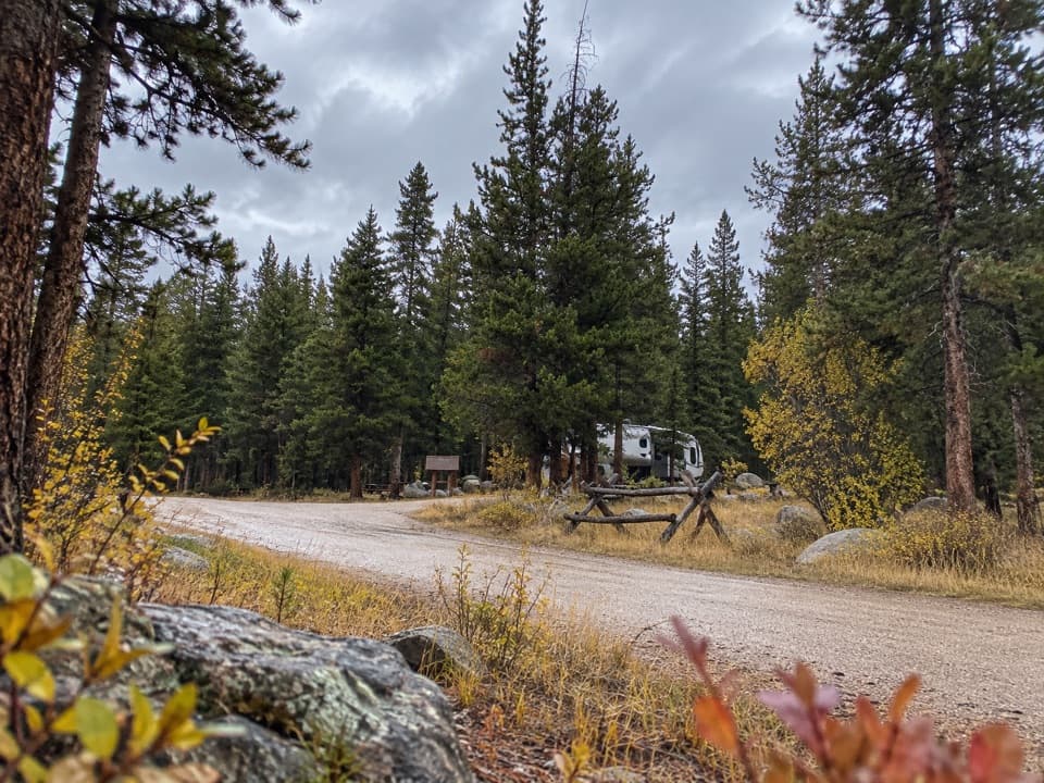 Campground · 1.8 mi awayFox Creek CampgroundSleep under conifers with Pilot and Index Peaks in view.
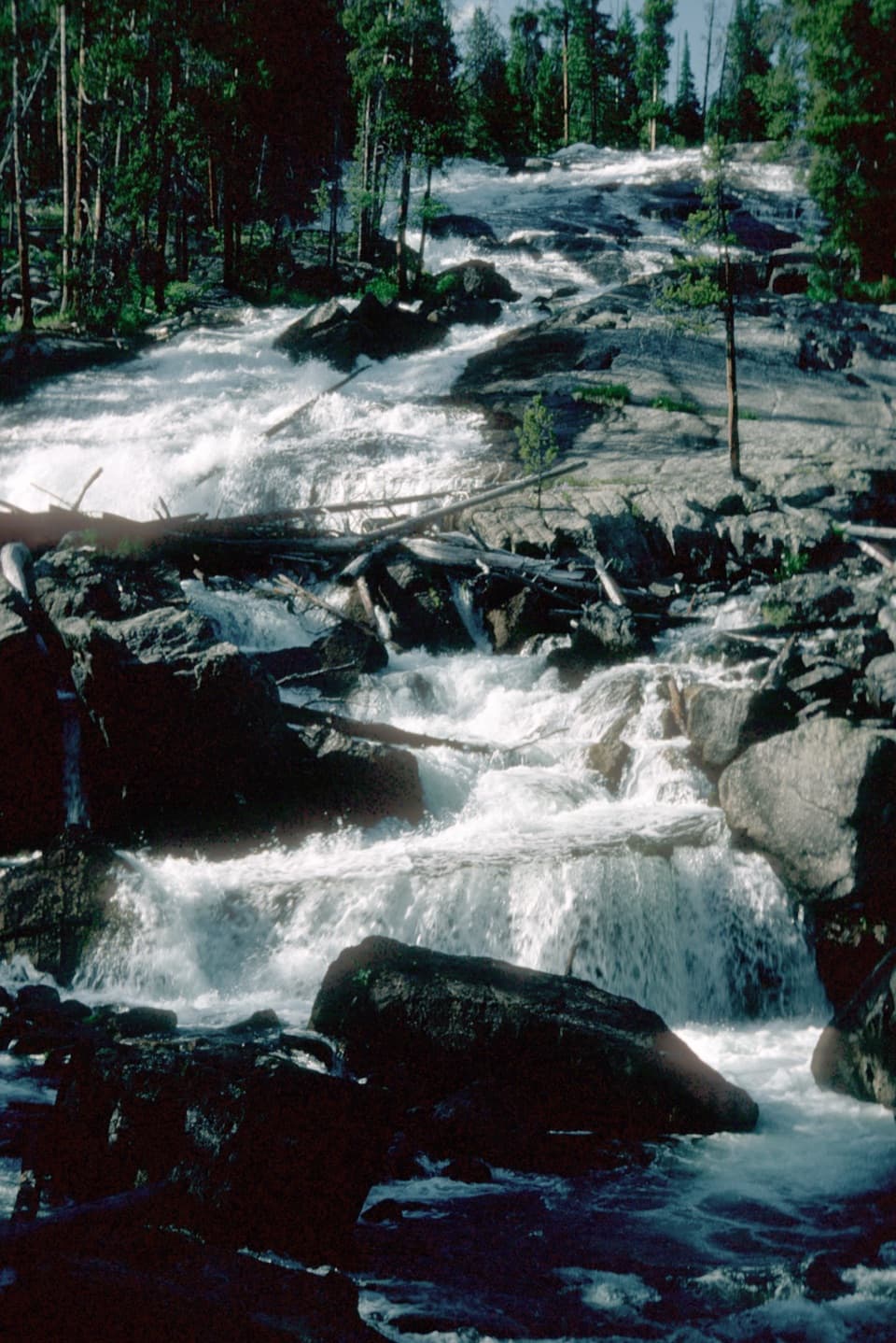 Sight · 2 mi awayCrazy Creek FallsA short walk reaches a broad cascade beside the Beartooth Highway.
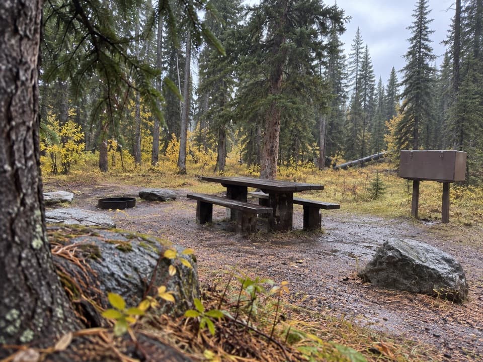 Campground · 2 mi awayCrazy Creek CampgroundA 16-site campground on a bluff above its namesake creek.
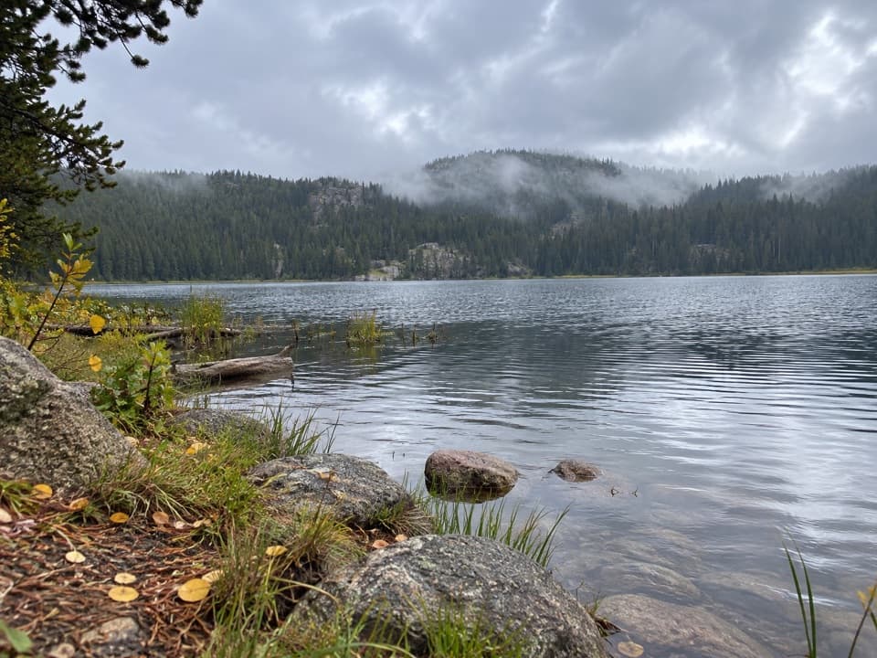 Campground · 4.8 mi awayLily Lake CampgroundA simple lakeside camp reached by a one-mile gravel spur.
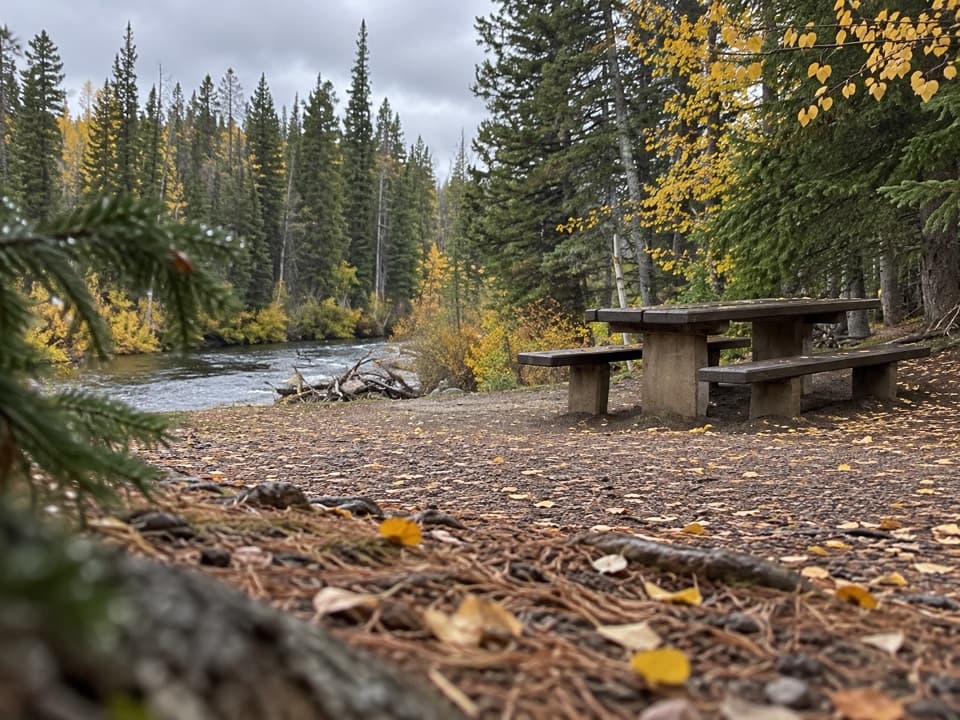 Picnic area · 5.2 mi awayClarks Fork Picnic AreaA riverside pause with a little highway and flume history.
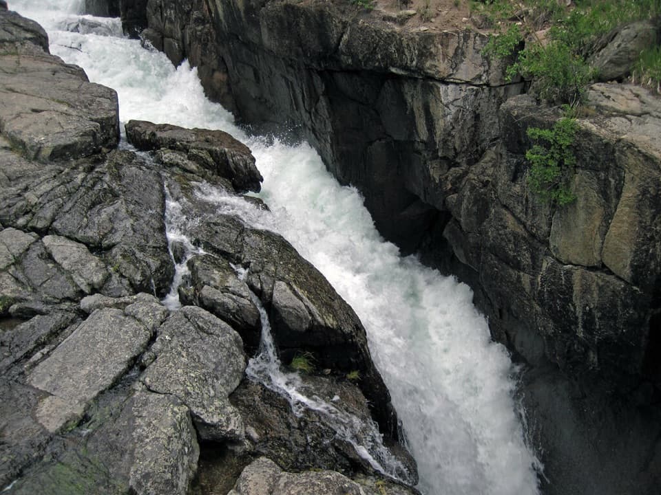 Sight · 5.6 mi awayLake Creek FallsA short bridge walk reaches a waterfall in a granite gorge.
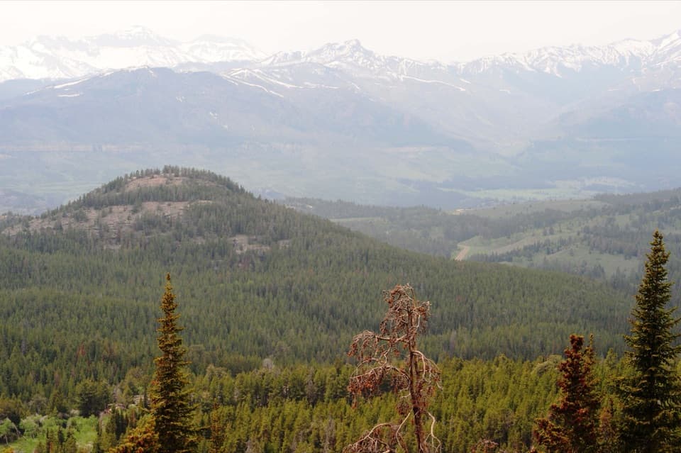 Scenic pullout · 6.1 mi awayClarks Fork OverlookA roadside view where the valley's geology comes into focus.
 Campground · 6.5 mi awayColter CampgroundA hard-sided-only campground two miles east of Cooke City.
Parkwolf’s Beartooth Highway ranking
The audio tour guide for the drive, plus offline maps, trails, and wildlife heatmaps for when the signal drops.




