Parking
No designated trailhead is listed. The mapped south end meets an unpaved track, but public vehicle access and legal parking are unconfirmed. Verify access with Shoshone National Forest before driving in.
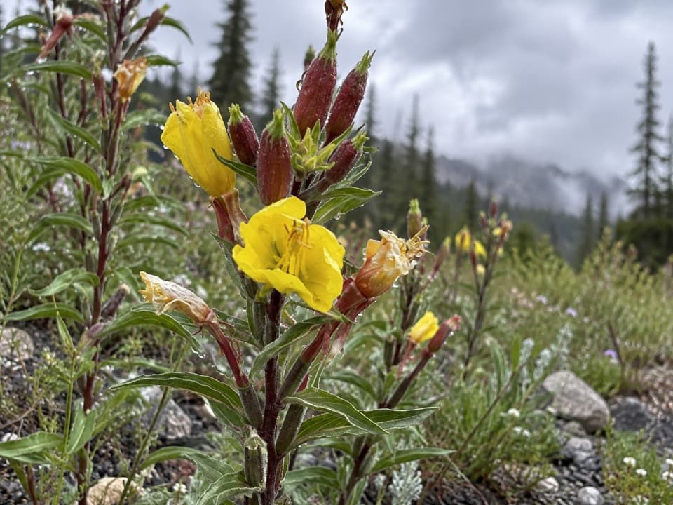
Beartooth Highway, MT · WY
A steep climb through high country ends beside a lake.
Overview
Map & elevation
Plan your hike

The highest, rockiest slopes around here are a summer buffet for grizzly bears.
Beartooth Highway Tour Guide
Parkwolf is a GPS audio tour guide for Beartooth Highway. As you drive, it chimes in with what’s ahead: hidden gems, upcoming stops, history, geology, and wildlife, right through your car’s speakers.
See the Beartooth Highway audio tourRecorded for this area
Streams That Meet Again“Streams on opposite sides of this drive can meet again far below the mountains. Rock Creek runs through Red Lodge, then joins the Clarks Fork of the Yellowstone.”
Plays on the road 1.9 mi from the trailhead in the Parkwolf Beartooth Highway Tour Guide.
More stories near here in the app
“Fantastic app with many points of information… It’s great to just turn on while you’re driving and it gives you an audio tour of the national Park. We love it!!!!”


Trail guide
Lost Lake Trail #617 is a 2.4-mile mapped trail line from an unpaved track junction to Lost Lake. The best-supported visit is an out-and-back of about 4.8 miles, returning to the southern end. The published length describes the trail corridor and does not say whether visitors usually hike one way or round trip, so treat 4.8 miles as a planning estimate, not a confirmed itinerary. Allow about 3½ hours; a coarse elevation sample suggests roughly 900 feet of total climbing on the return route.
The mapped line starts where it meets an unpaved track, but no designated trailhead or legal parking is recorded. Whether visitors can drive to that junction is unconfirmed; check with Shoshone National Forest before setting out. The mapped trail ends at the lake, and no through-exit is established, so expect to retrace it.
The tread is native material, about 18–24 inches wide, with typical grades of 12–20%. The route runs around 7,700 to 8,350 feet. It is a short hike with enough steepness and altitude to slow many people; allow the extra time and do not judge effort by the corridor's 2.4-mile figure alone.
About two-thirds of the line lies in Absaroka-Beartooth Wilderness, where bicycles are not allowed; hiking and horse/pack-stock use are listed for the trail. The accessibility notes conflict: one says the full 2.4 miles were evaluated as accessible, while another says only at least one segment meets Forest Service accessibility guidelines. Do not assume the whole route is accessible. Pet rules are not established.
Wildlife
 42 sightingsGrizzly BearMost seen around 7 AMSighting map
 22 sightingsGray WolfMost seen around 6 AMSighting map
 49 sightingsBisonMost seen around 6 AMSighting map
 122 sightingsMooseMost seen around 6 AMSighting map
 260 sightingsMountain GoatMost seen around 7 AMSighting map
 16 sightingsBighorn SheepMost seen around 7 PMSighting map
Sighting maps show where each species has been reported across Beartooth Highway. Wildlife moves, so no sighting is guaranteed.
Keep exploring
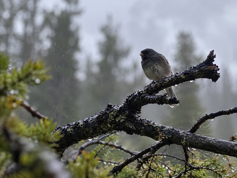 ModerateBig Moose Lake Trail6 mi · 4 hr · 1.8 mi awayA high-country lake at the end of a three-mile mountain trail.
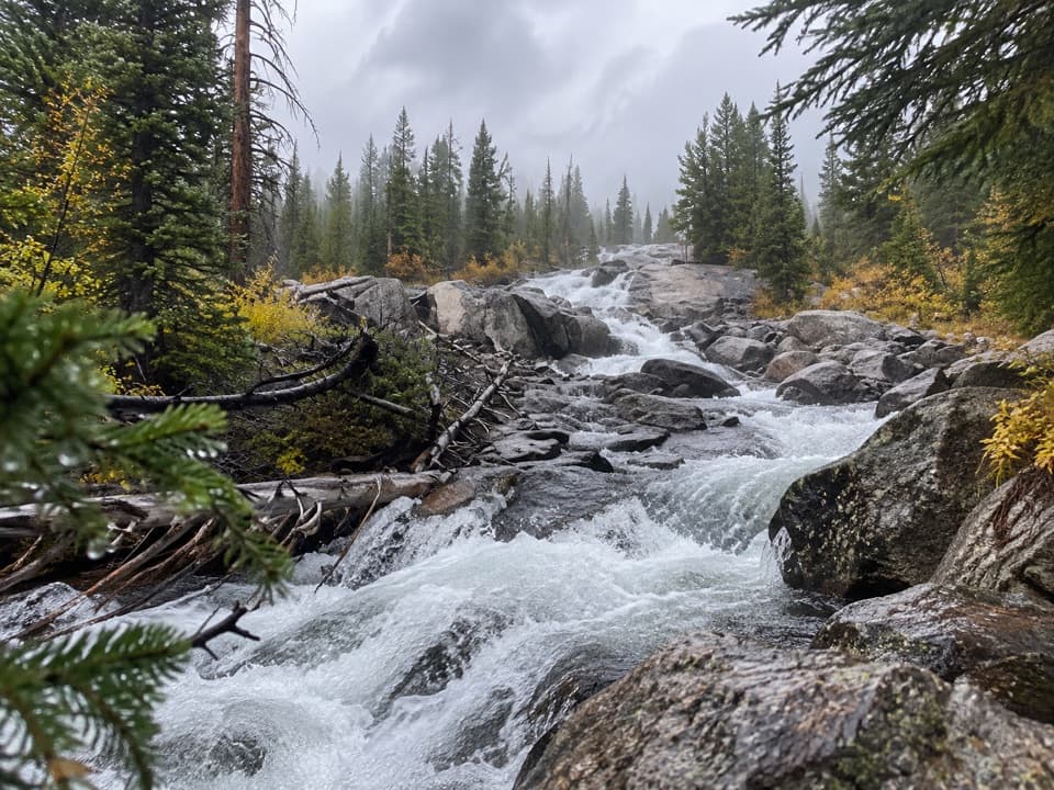 EasyCrazy Creek Falls Trail0.2 mi · 15 min · 2.2 mi awayA quick walk to a cascade that changes with the season.
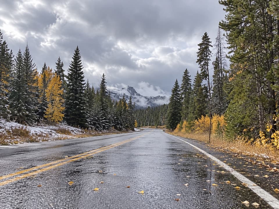 ChallengingCrazy Creek Trail #56811 mi · 7.5 hr · 2.2 mi awayA long climb from US 212 into Beartooth lake country.
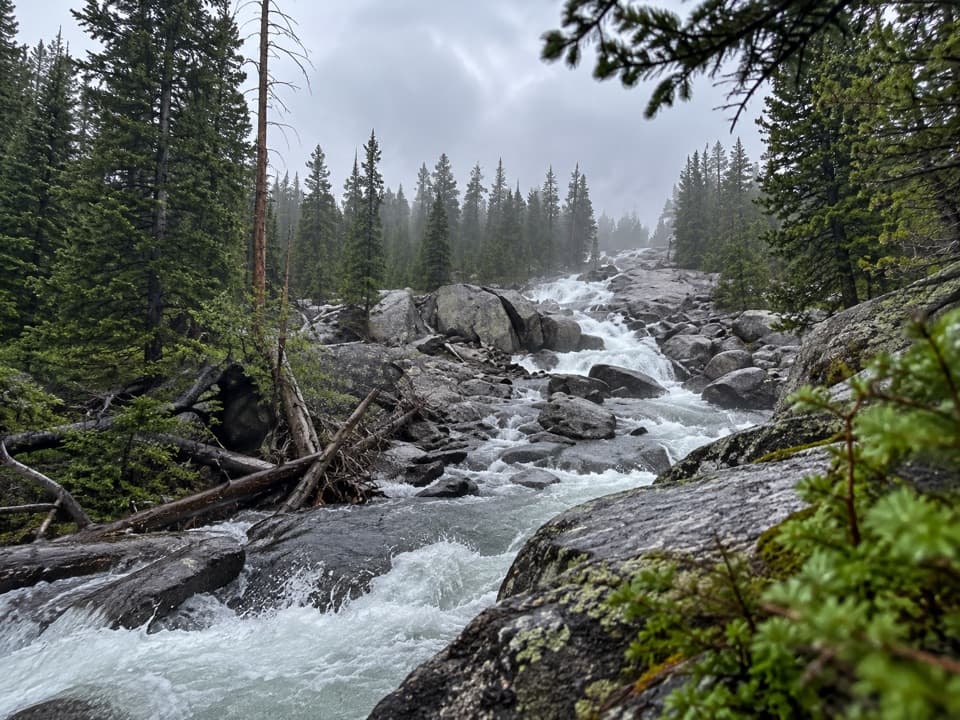 ChallengingLake Reno Trail10.2 mi · 7 hr · 2.2 mi awayA long wilderness climb reaches Lake Reno
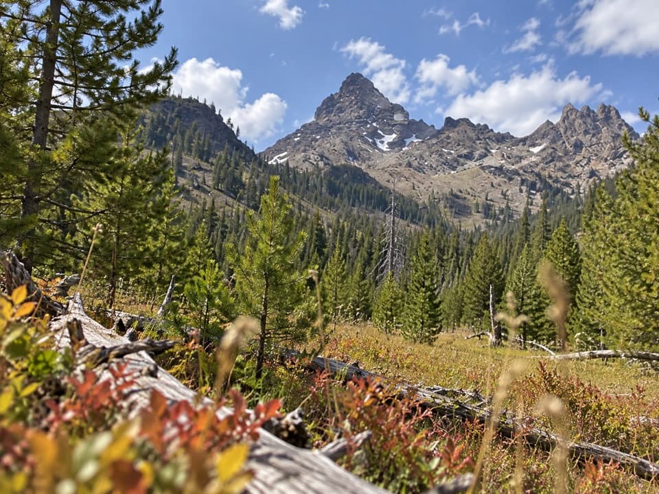 ChallengingPilot Creek Trail12.5 mi · 7 hr · 3.8 mi awayA long creekside climb to falls, crags, and a grassy meadow.
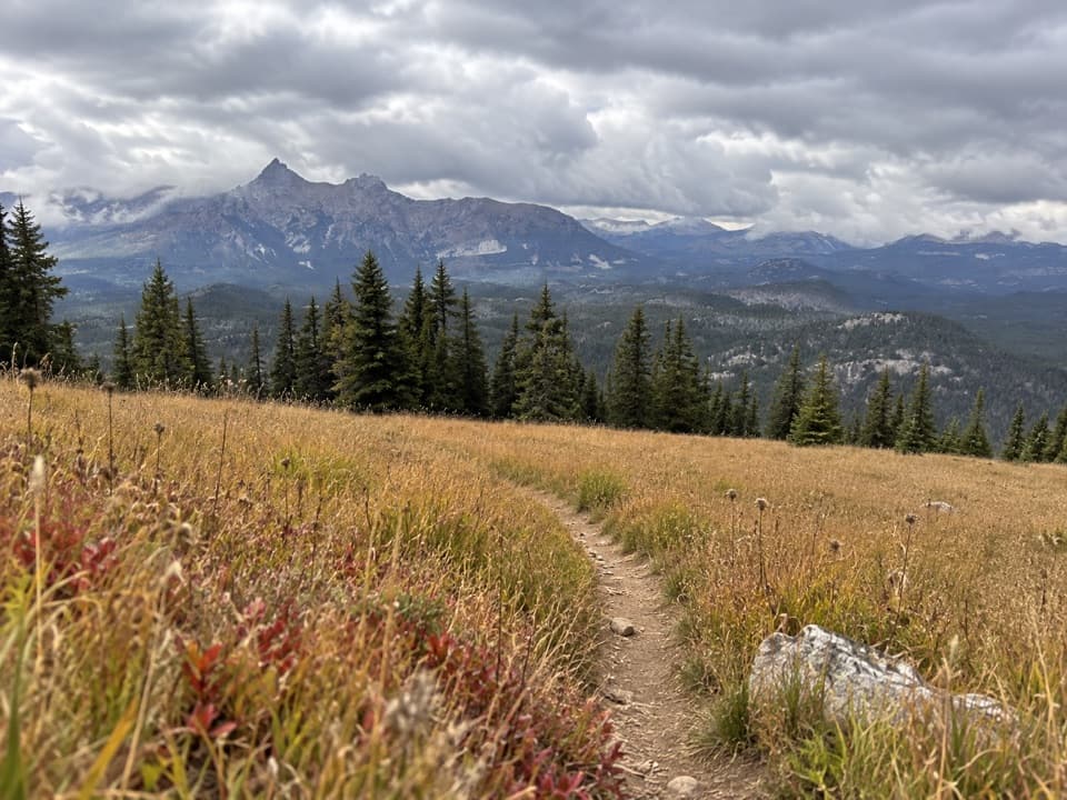 ModerateClay Butte Trail #6143 mi · 1.8 hr · 5 mi awayOpen meadow, high-country creeks and a junction with Trail #620.
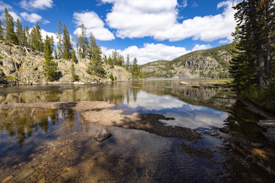 ModerateGranite Lake Trail via Clay Butte10 mi · 6.5 hr · 5 mi awayA 10-mile out-and-back to a 228-acre high-country lake.
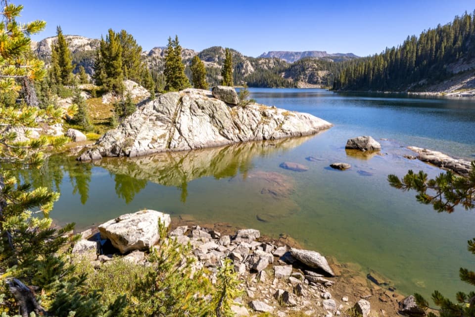 ChallengingHigh Beartooths Lakes Loop22 mi · 12 hr · 5 mi awayA full-day circuit linking alpine lakes above 8,700 feet.
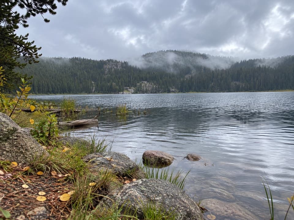 Campground · 1.5 mi awayLily Lake CampgroundA simple lakeside camp reached by a one-mile gravel spur.
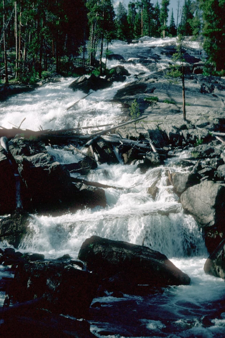 Sight · 2.2 mi awayCrazy Creek FallsA short walk reaches a broad cascade beside the Beartooth Highway.
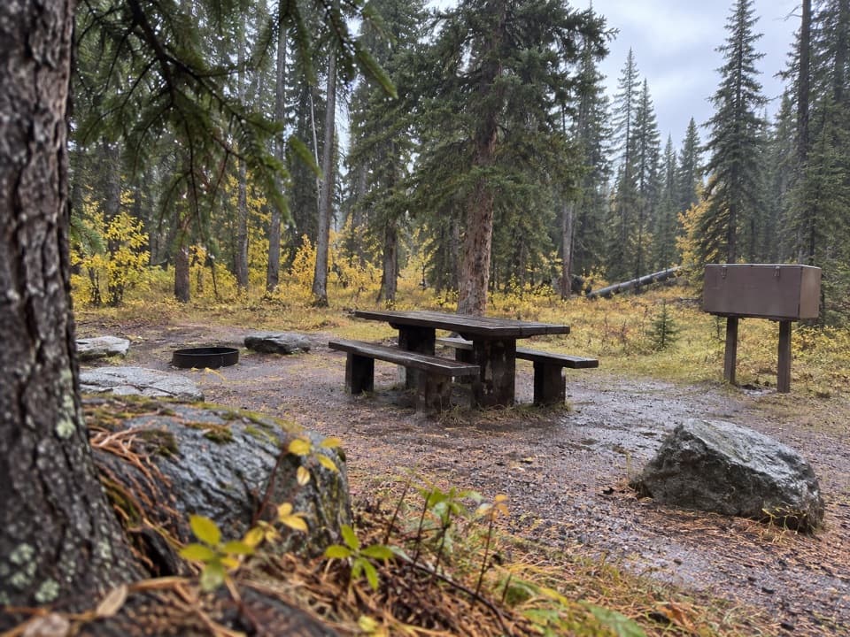 Campground · 2.3 mi awayCrazy Creek CampgroundA 16-site campground on a bluff above its namesake creek.
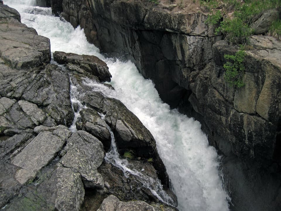 Sight · 2.6 mi awayLake Creek FallsA short bridge walk reaches a waterfall in a granite gorge.
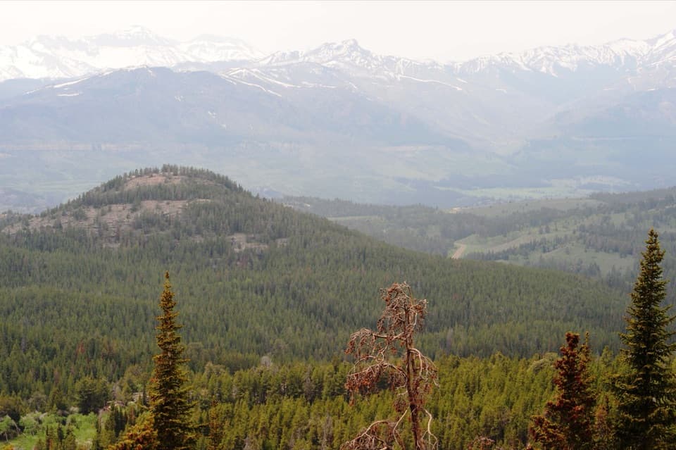 Scenic pullout · 3.1 mi awayClarks Fork OverlookA roadside view where the valley's geology comes into focus.
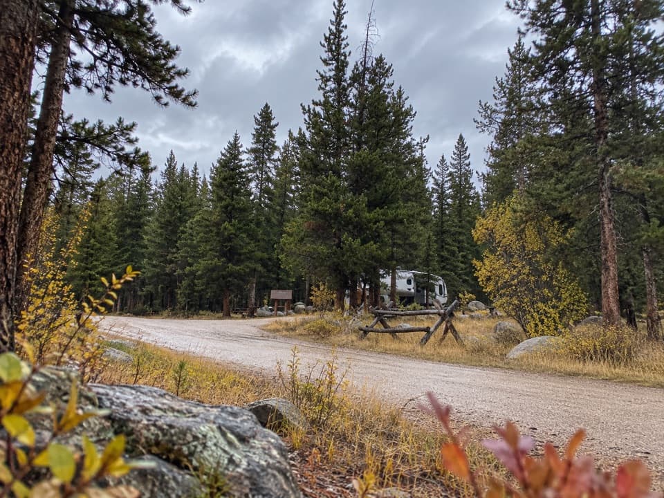 Campground · 4.9 mi awayFox Creek CampgroundSleep under conifers with Pilot and Index Peaks in view.
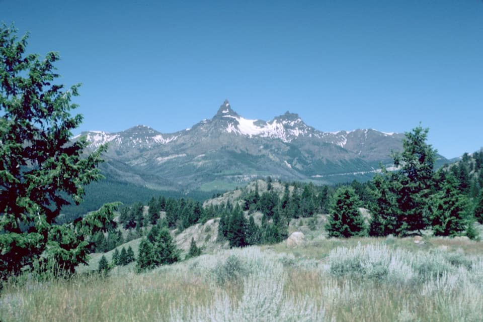 Scenic pullout · 5.1 mi awayPilot and Index Peaks OverlookTwo sharp peaks crown the Clark’s Fork valley view.
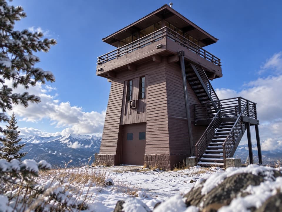 Sight · 5.4 mi awayClay Butte LookoutA historic fire tower with a 360-degree Beartooth panorama.
Parkwolf’s Beartooth Highway ranking

The audio tour guide for the drive, plus offline maps, trails, and wildlife heatmaps for when the signal drops.




