Parking
The shorter route uses the 130 1A four-wheel-drive road off Beartooth Highway to reach the #568-to-#567 approach. The exact roadhead and parking point are not pinned down; confirm the alignment on current Forest Service mapping.
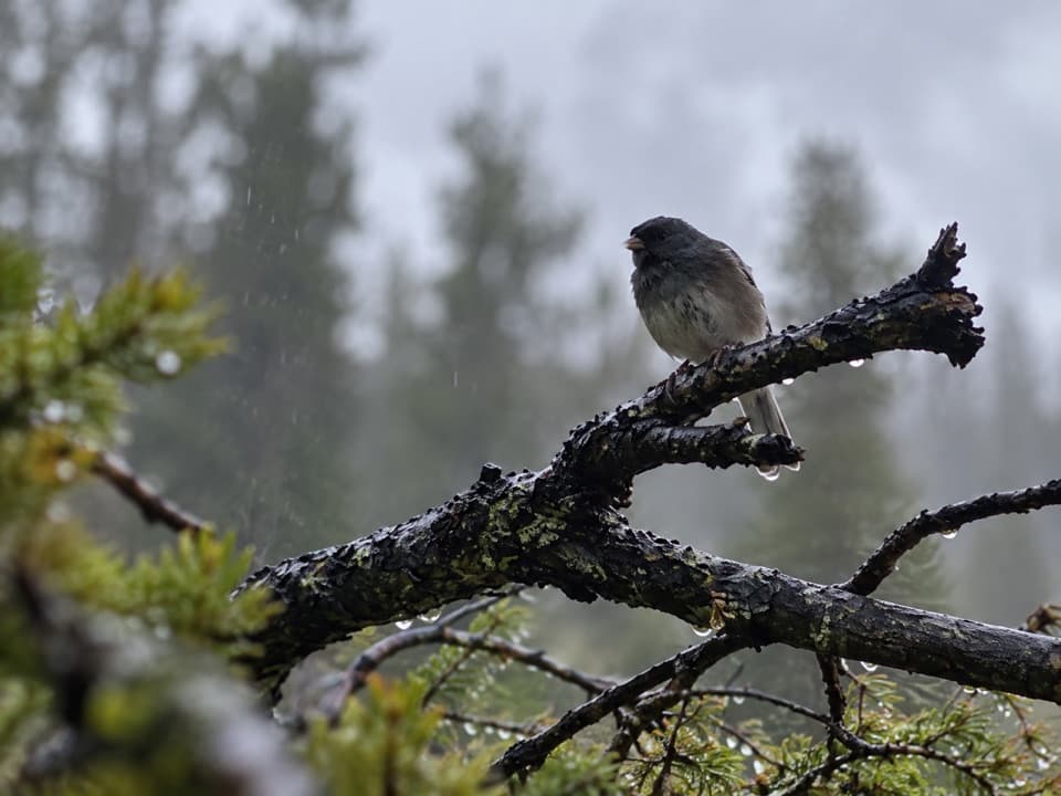
Beartooth Highway, MT · WY
A high-country lake at the end of a three-mile mountain trail.
Overview
Map & elevation
Plan your hike

The highest, rockiest slopes around here are a summer buffet for grizzly bears.
Beartooth Highway Tour Guide
Parkwolf is a GPS audio tour guide for Beartooth Highway. As you drive, it chimes in with what’s ahead: hidden gems, upcoming stops, history, geology, and wildlife, right through your car’s speakers.
See the Beartooth Highway audio tourMore stories near here in the app
“Fantastic app with many points of information… It’s great to just turn on while you’re driving and it gives you an audio tour of the national Park. We love it!!!!”


Trail guide
This is the shorter high-country approach to Big Moose Lake: about 3 miles each way, or 6 miles round trip, using the #568–#624–#567 connection. Allow about 4 hours for the walk and a lake stop. The route is a remote out-and-back to a large mountain lake near 8,000 feet.
From the mapped #568 footpath junction, follow #568 to #624, then join Widewater Trail #567 toward the lake. The connected trail line is about 2.95 miles one way; return the same way. Expect roughly 1,100 feet of cumulative climbing over the round trip, with the high elevation adding effort.
The short route is described from the 130 1A four-wheel-drive road off Beartooth Highway. A separate approach from Kersey Lake follows trail #3 and #567 and is listed at 6.5 miles on trail; it is a different route, not part of this entry.
The stored trailhead is the mapped footpath start on Crazy Creek Trail #568, not a verified parking lot. The exact roadhead and parking point on the 130 1A access road are not pinned down, so confirm the road alignment and access on current Forest Service mapping before setting out.
Big Moose Lake covers 83.8 acres and reaches 46 feet deep. Brook and rainbow trout are documented as common, self-sustaining populations. The lake is the destination and turnaround point; the mapped line reaches a ford near its shore.
A ford is mapped near the lake approach, but its depth and seasonal condition are not documented. The route stays at high elevation, and the shorter approach depends on a four-wheel-drive road.
Wildlife
 42 sightingsGrizzly BearMost seen around 7 AMSighting map
 22 sightingsGray WolfMost seen around 6 AMSighting map
 49 sightingsBisonMost seen around 6 AMSighting map
 122 sightingsMooseMost seen around 6 AMSighting map
 260 sightingsMountain GoatMost seen around 7 AMSighting map
 16 sightingsBighorn SheepMost seen around 7 PMSighting map
Sighting maps show where each species has been reported across Beartooth Highway. Wildlife moves, so no sighting is guaranteed.
Keep exploring
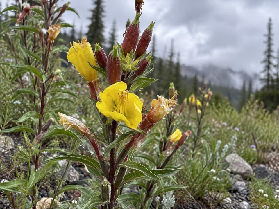 ModerateLost Lake Trail #6174.8 mi · 3.5 hr · 1.8 mi awayA steep climb through high country ends beside a lake.
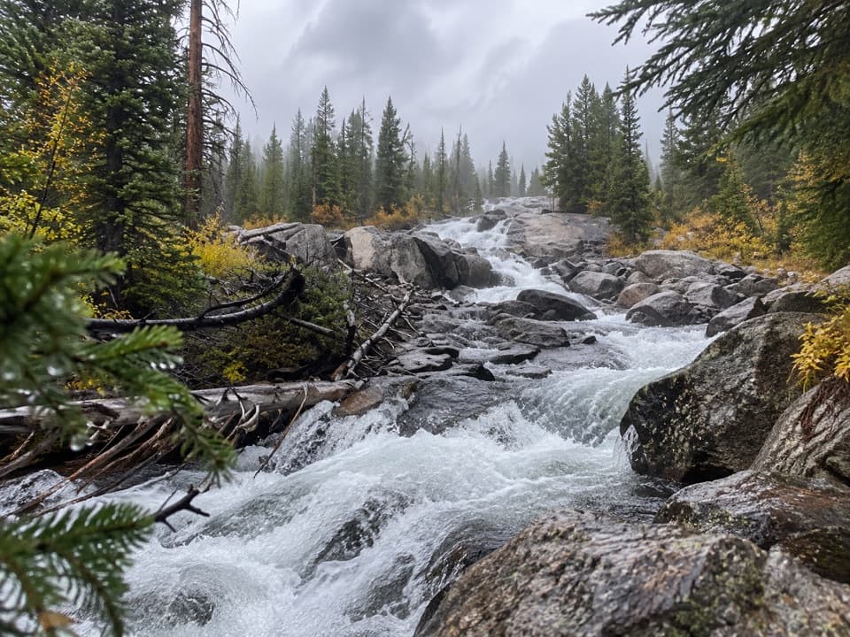 EasyCrazy Creek Falls Trail0.2 mi · 15 min · 2.7 mi awayA quick walk to a cascade that changes with the season.
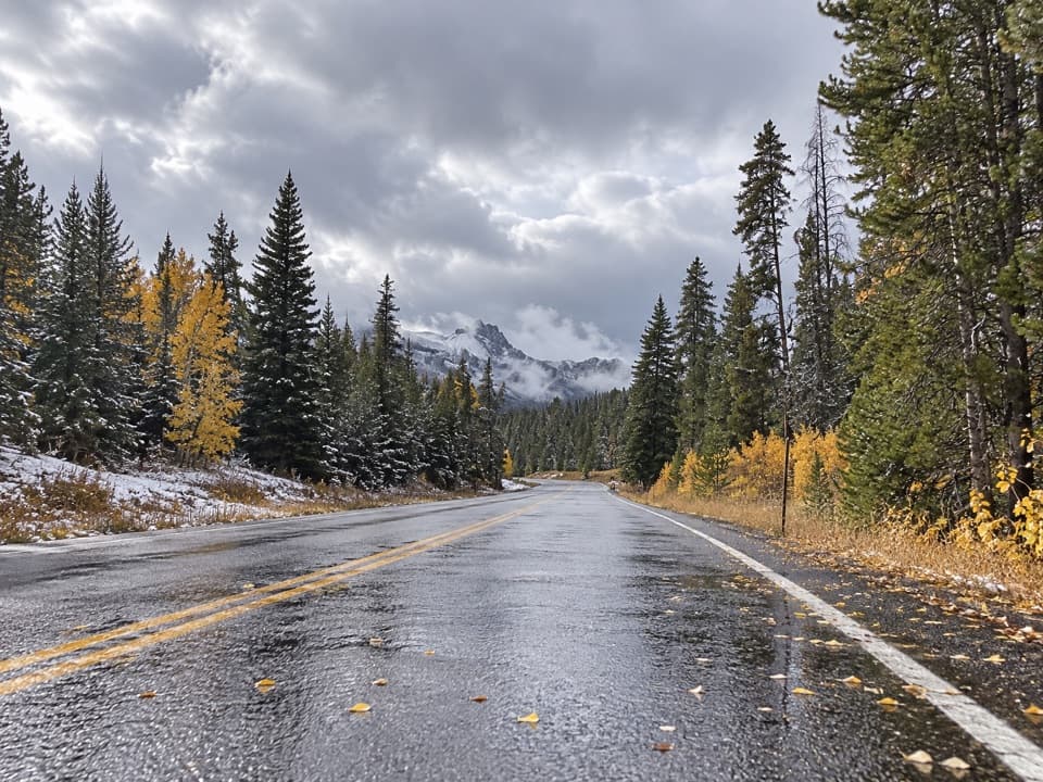 ChallengingCrazy Creek Trail #56811 mi · 7.5 hr · 2.7 mi awayA long climb from US 212 into Beartooth lake country.
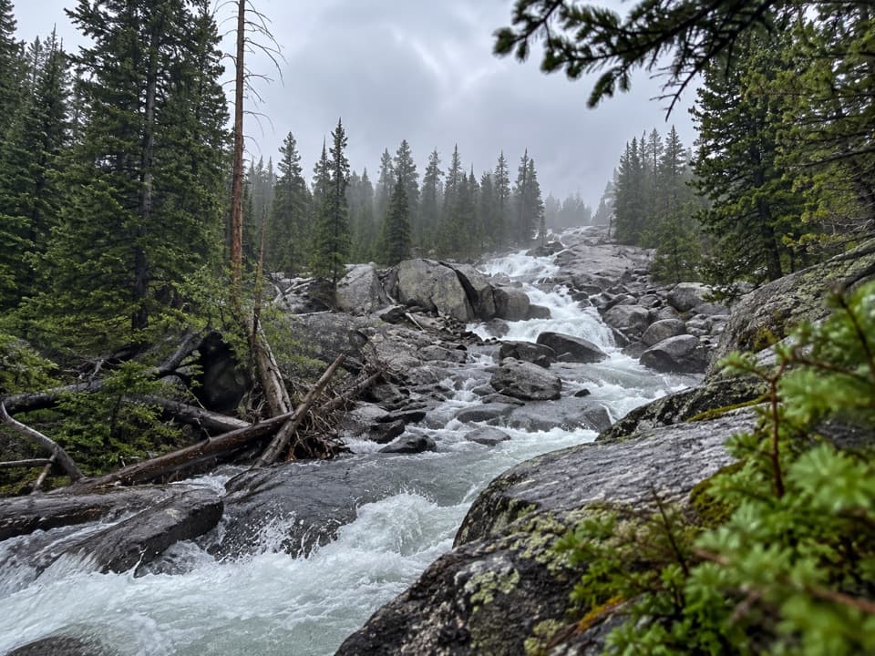 ChallengingLake Reno Trail10.2 mi · 7 hr · 2.7 mi awayA long wilderness climb reaches Lake Reno
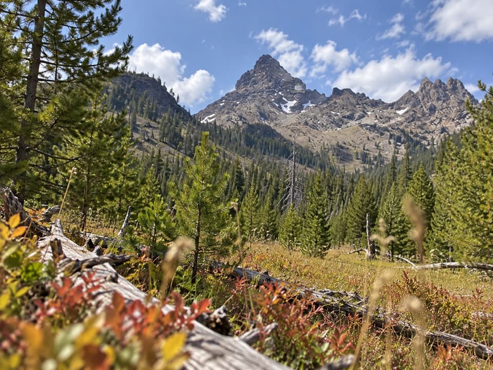 ChallengingPilot Creek Trail12.5 mi · 7 hr · 3.2 mi awayA long creekside climb to falls, crags, and a grassy meadow.
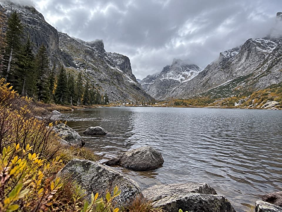 EasyKersey Lake Trail3 mi · 1.3 hr · 6 mi awayAn easy three-mile return to a trout lake on the Beaten Path
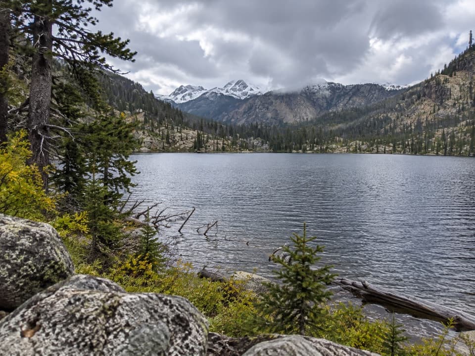 ModerateBroadwater River to Curl Lake Trail6.5 mi · 4.5 hr · 6 mi awayMarshy meadows and a rough final approach to Curl Lake
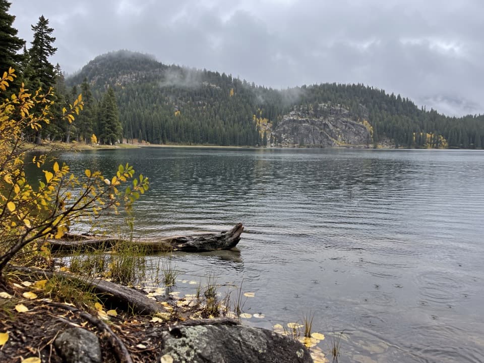 ModerateFox Lake Trail9 mi · 5 hr · 6 mi awayA high-country trout lake rewards the long walk from the highway.
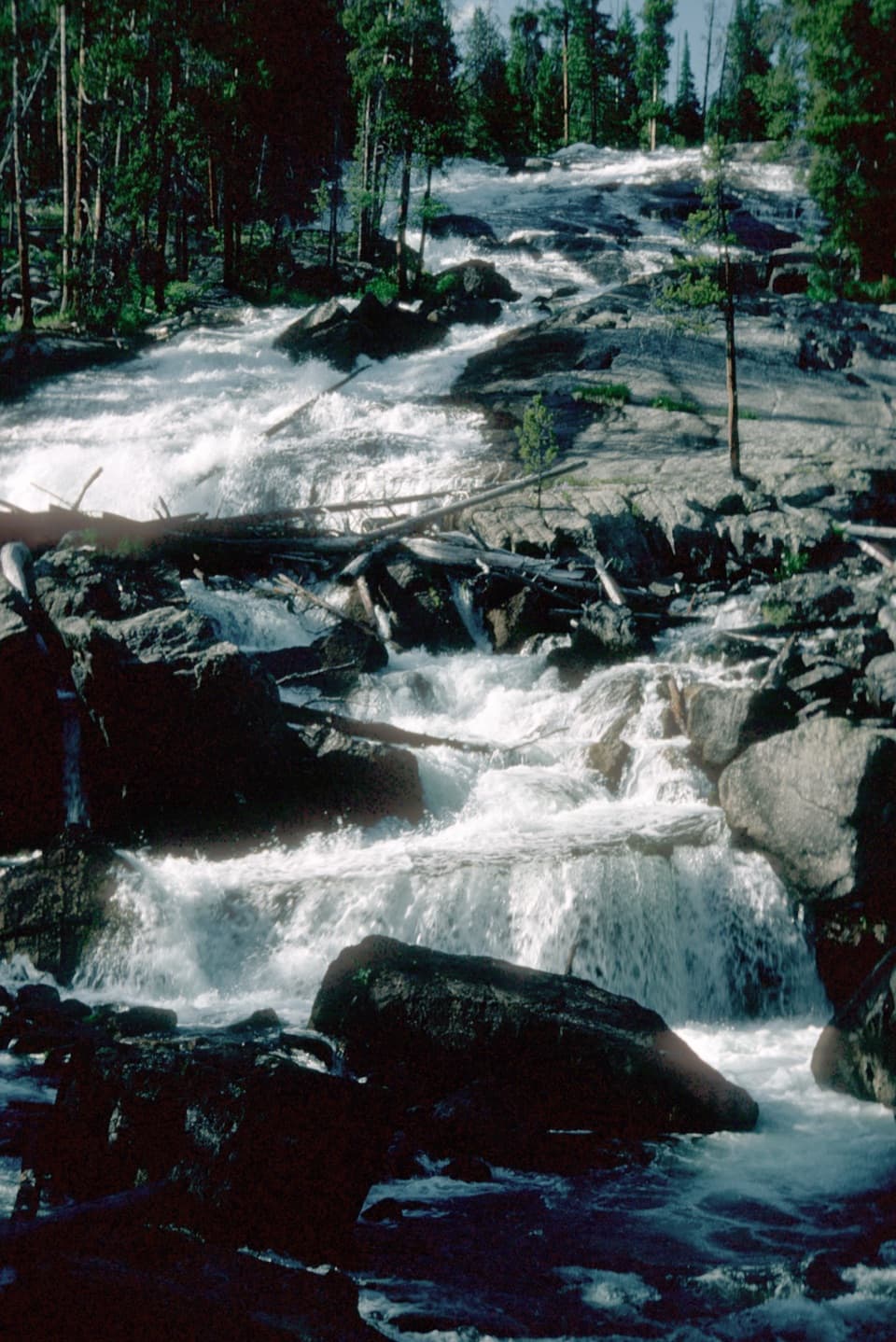 Sight · 2.6 mi awayCrazy Creek FallsA short walk reaches a broad cascade beside the Beartooth Highway.
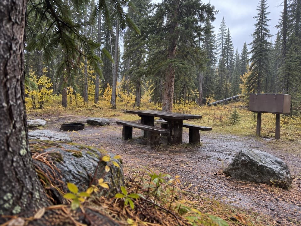 Campground · 2.8 mi awayCrazy Creek CampgroundA 16-site campground on a bluff above its namesake creek.
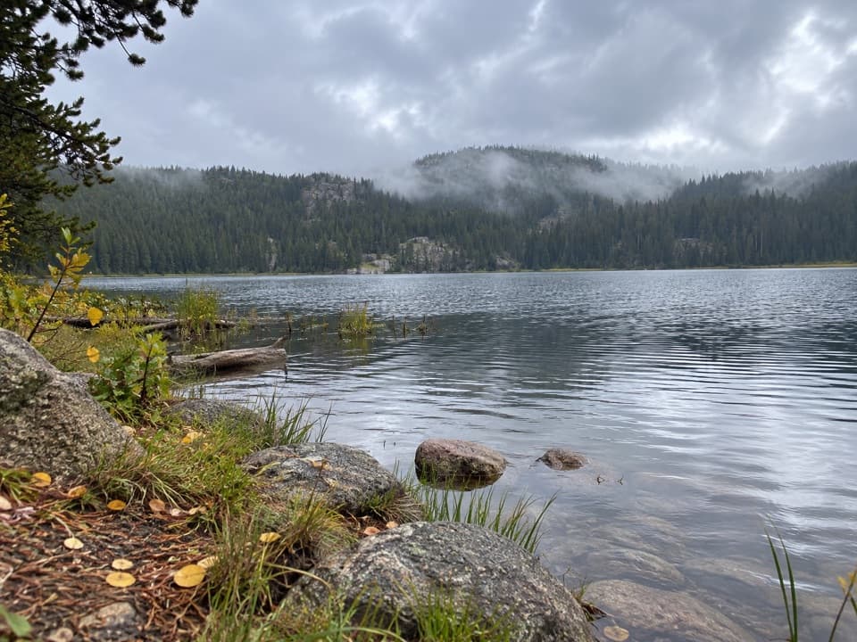 Campground · 3.3 mi awayLily Lake CampgroundA simple lakeside camp reached by a one-mile gravel spur.
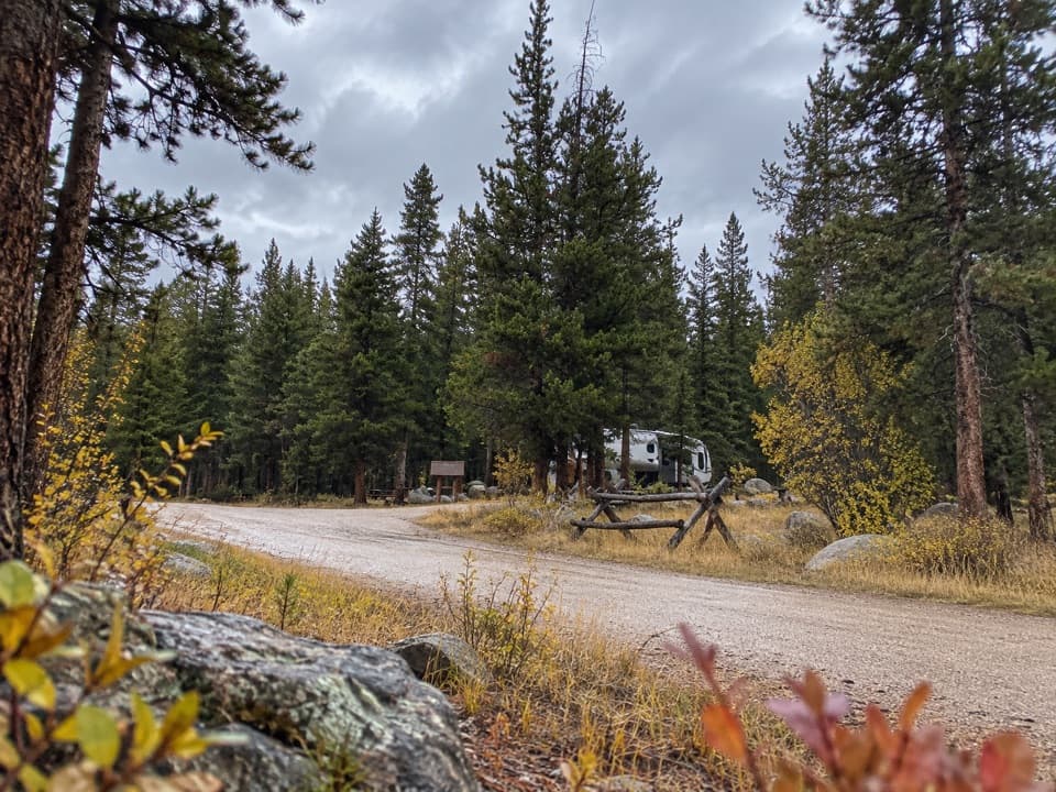 Campground · 3.7 mi awayFox Creek CampgroundSleep under conifers with Pilot and Index Peaks in view.
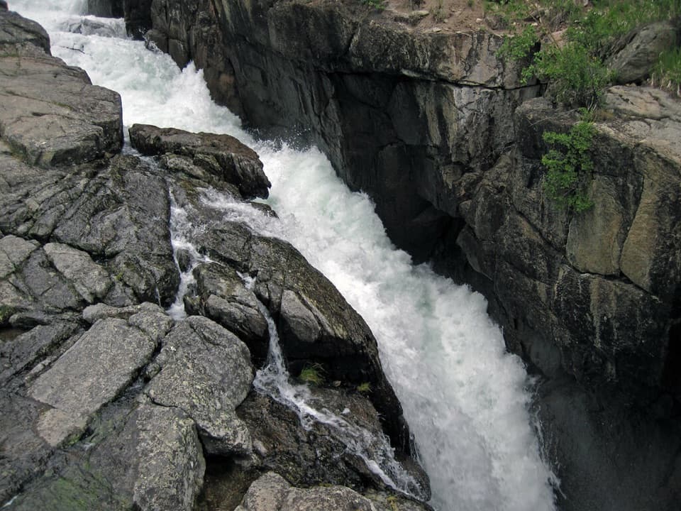 Sight · 4.4 mi awayLake Creek FallsA short bridge walk reaches a waterfall in a granite gorge.
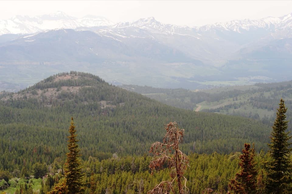 Scenic pullout · 4.9 mi awayClarks Fork OverlookA roadside view where the valley's geology comes into focus.
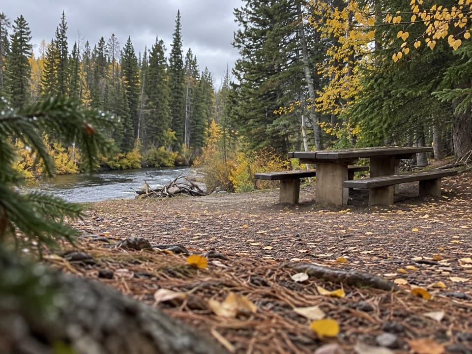 Picnic area · 6 mi awayClarks Fork Picnic AreaA riverside pause with a little highway and flume history.
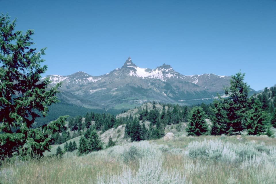 Scenic pullout · 6.7 mi awayPilot and Index Peaks OverlookTwo sharp peaks crown the Clark’s Fork valley view.
Parkwolf’s Beartooth Highway ranking

The audio tour guide for the drive, plus offline maps, trails, and wildlife heatmaps for when the signal drops.




