Parking
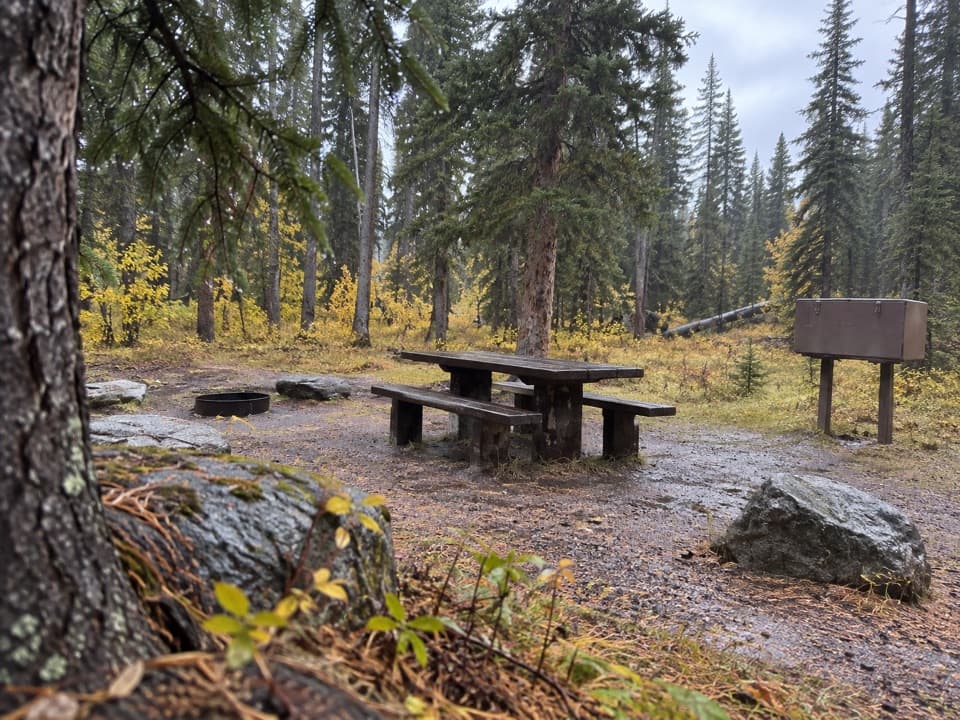
Turn into the signed Clarks Fork Trailhead from US 212; this is the Clarks Fork end of the Beaten Path.
Beartooth Highway, MT · WY
An easy three-mile return to a trout lake on the Beaten Path
Overview
Map & elevation
Plan your hike

The highest, rockiest slopes around here are a summer buffet for grizzly bears.
Beartooth Highway Tour Guide
Parkwolf is a GPS audio tour guide for Beartooth Highway. As you drive, it chimes in with what’s ahead: hidden gems, upcoming stops, history, geology, and wildlife, right through your car’s speakers.
See the Beartooth Highway audio tourRecorded for this trailhead
Clarks Fork Picnic Area“You're coming up on Clarks Fork Picnic Area, a small riverside stop with two picnic tables. This is a good choice for a lunch break with a little more to see than the river.”
Plays as you drive up to this trailhead in the Parkwolf Beartooth Highway Tour Guide.
More stories near here in the app
“Fantastic app with many points of information… It’s great to just turn on while you’re driving and it gives you an audio tour of the national Park. We love it!!!!”


Trail guide
This easy 3-mile out-and-back follows the final 1.5 miles of the Beaten Path from Clarks Fork Trailhead to Kersey Lake, then retraces the same route. It is a good choice for a quick high-country lake stop without taking on the full 26-mile through-route. Allow about 1 to 1½ hours; the grade is gentle, with less than 200 feet of gain.
Start at the signed Clarks Fork Trailhead on US 212 and follow the trail toward Kersey Lake. The through-route continues beyond the lake, so this is not a loop: turn around at Kersey Lake. The walk crosses the Clarks Fork Yellowstone River; at about half a mile, a wider, calmer reach before the rapids makes a natural fishing pause.
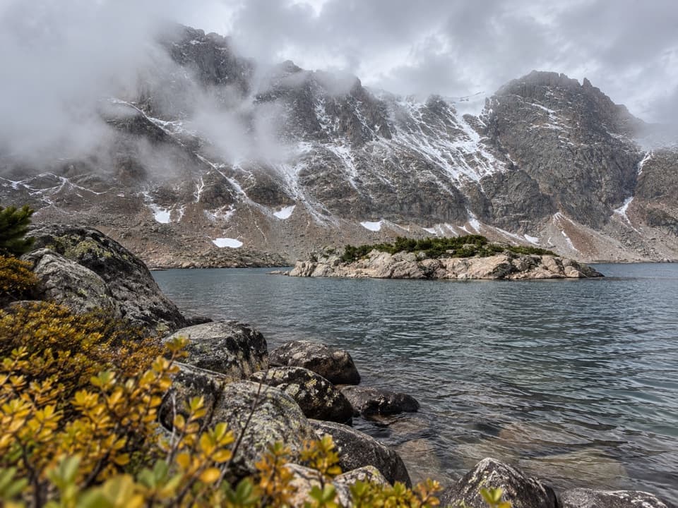
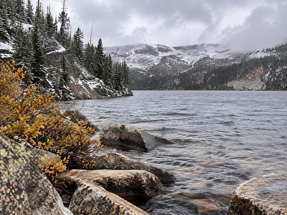
The tread gets rougher near the lake, and its outlet stream can flood across the trail early in the season. Logs are used to get across, but high water can make this short walk awkward. Kersey Lake itself is muddy, with trout sometimes visible rising on the surface. From the shore, include the steep rock walls around the lake to give the view its scale.
Part of the approach crosses ground burned in 1988. The forest is recovering, so this stretch opens up before regrowth closes it in again. US 212 is generally open from Memorial Day weekend through mid-October, weather permitting; the trailhead's road access follows that seasonal window.
Wildlife
 42 sightingsGrizzly BearMost seen around 7 AMSighting map
 22 sightingsGray WolfMost seen around 6 AMSighting map
 49 sightingsBisonMost seen around 6 AMSighting map
 122 sightingsMooseMost seen around 6 AMSighting map
 260 sightingsMountain GoatMost seen around 7 AMSighting map
 16 sightingsBighorn SheepMost seen around 7 PMSighting map
Sighting maps show where each species has been reported across Beartooth Highway. Wildlife moves, so no sighting is guaranteed.
Keep exploring
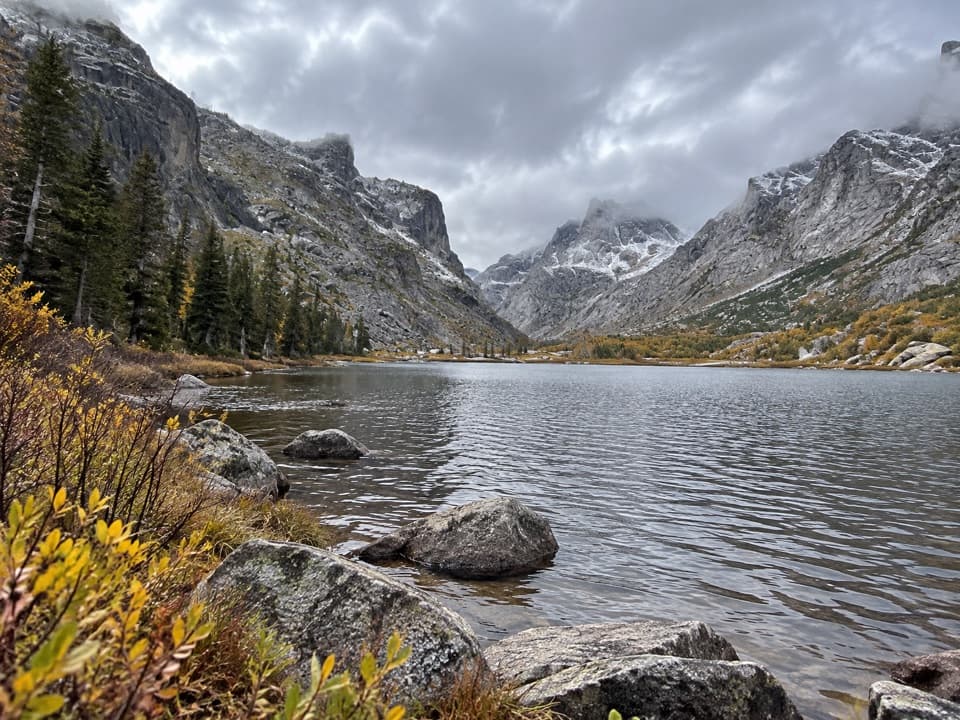
 ModerateBroadwater River to Curl Lake Trail6.5 mi · 4.5 hr · At the trailheadMarshy meadows and a rough final approach to Curl Lake
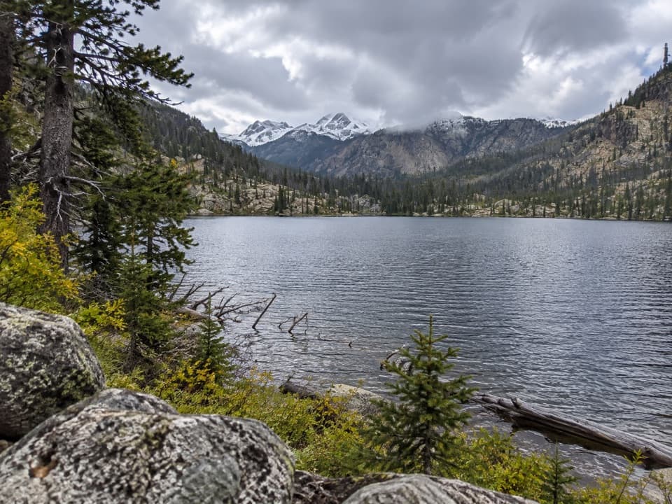
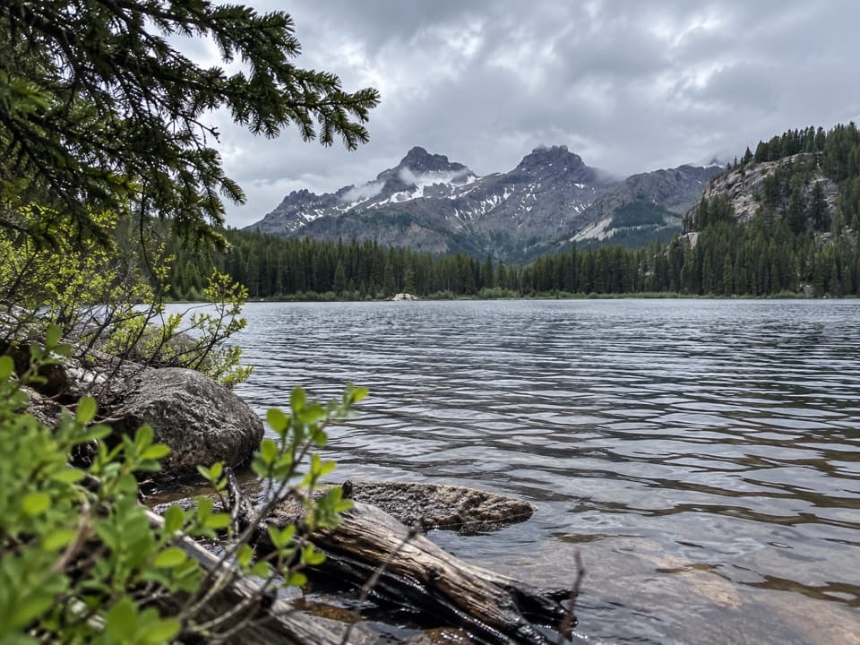 ModerateVernon Lake Trail5.4 mi · 2.8 hr · 0.1 mi awayA lake payoff after one muddy, buggy mile at Clarks Fork.
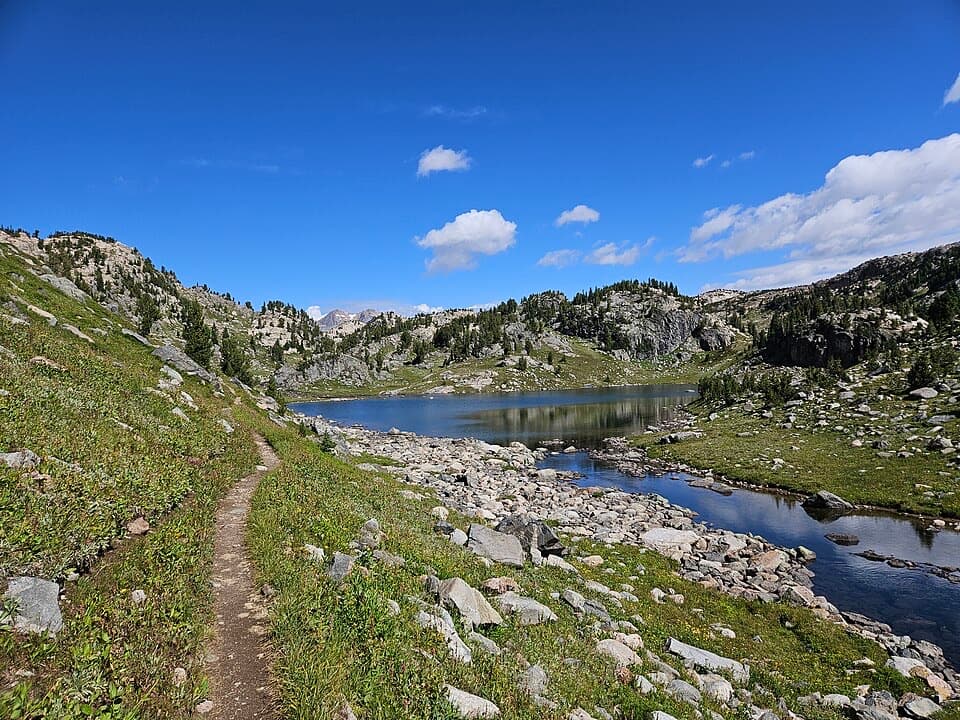 ChallengingRussell Creek Trail20 mi · 12 hr · 0.1 mi awayA full-day high-country climb to Fossil Lake and back.
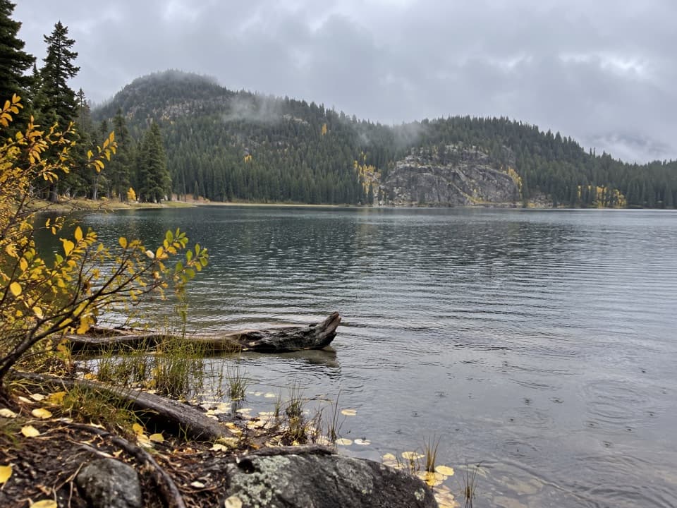 ModerateFox Lake Trail9 mi · 5 hr · 0.1 mi awayA high-country trout lake rewards the long walk from the highway.
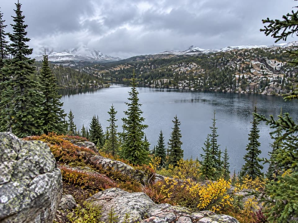 ModerateRock Island Lake Trail6.8 mi · 3.5 hr · 0.1 mi awayMarsh bridges, a Kersey overlook, and a high alpine lake.
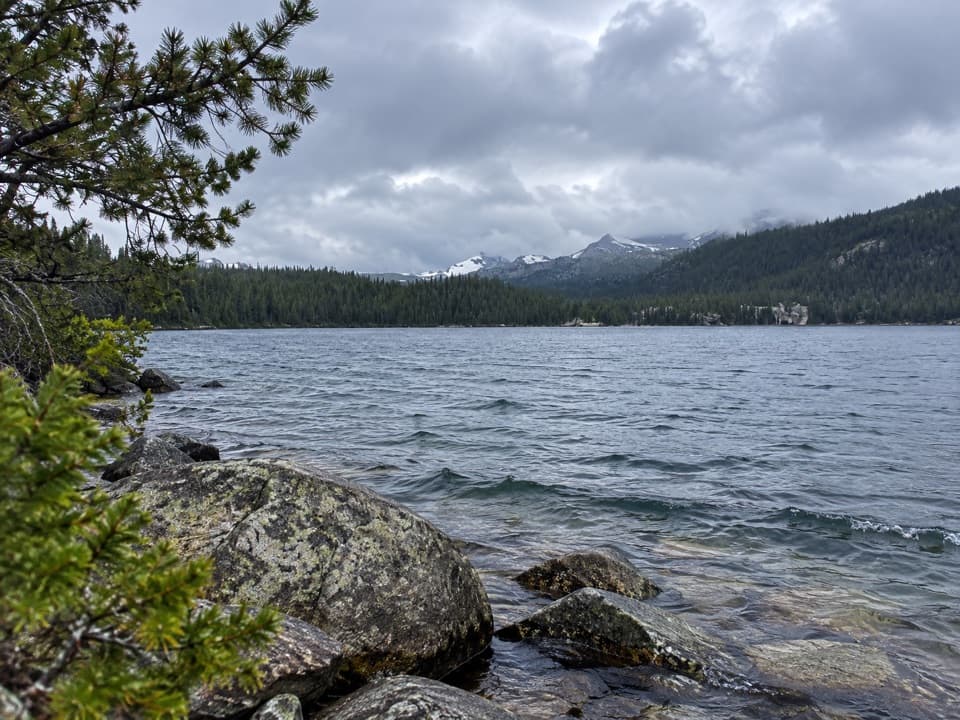 ModerateWidewater Lake Trail11.6 mi · 6.5 hr · 0.1 mi awayA long walk at 8,000 feet to a large trout lake.
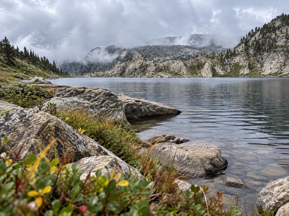 ChallengingMariane Lake Trail16.6 mi · 9.5 hr · 0.1 mi awayLong, high backcountry miles lead to a rocky alpine lake.
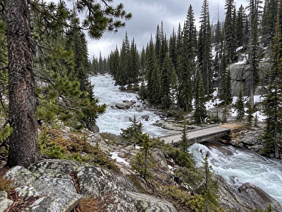 ChallengingOtter Lake Trail18 mi · 11.5 hr · 0.1 mi awayA long high country walk to a remote trout lake.
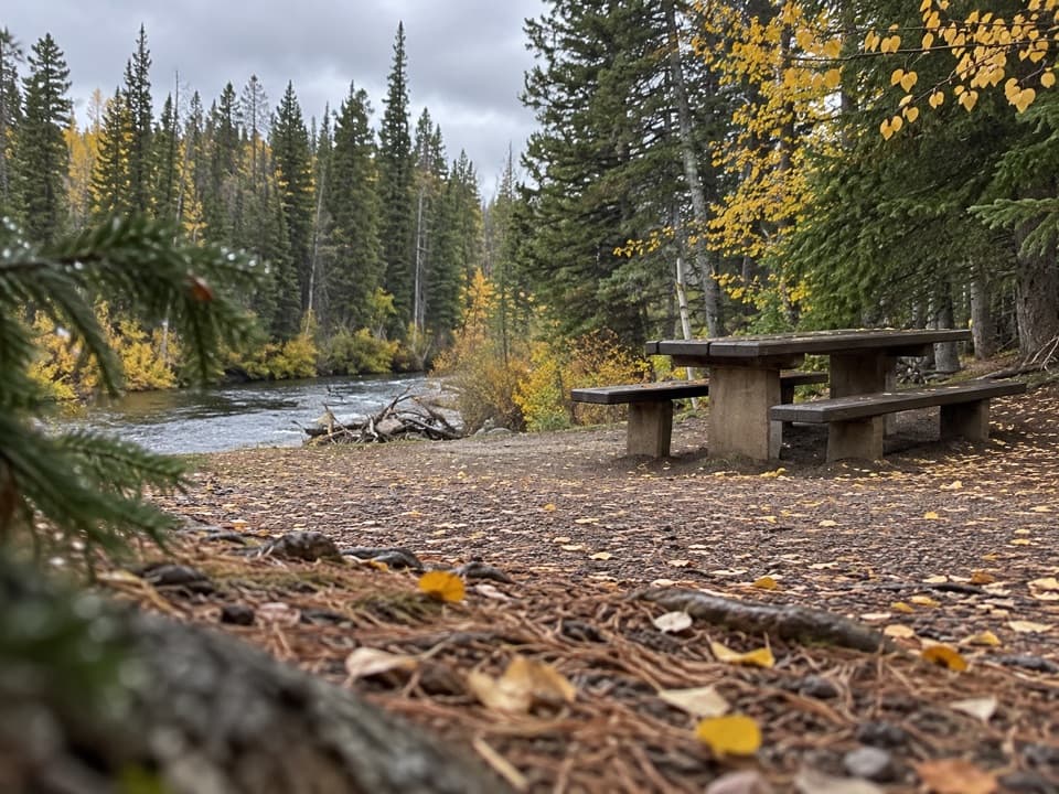 Picnic area · 0.1 mi awayClarks Fork Picnic AreaA riverside pause with a little highway and flume history.
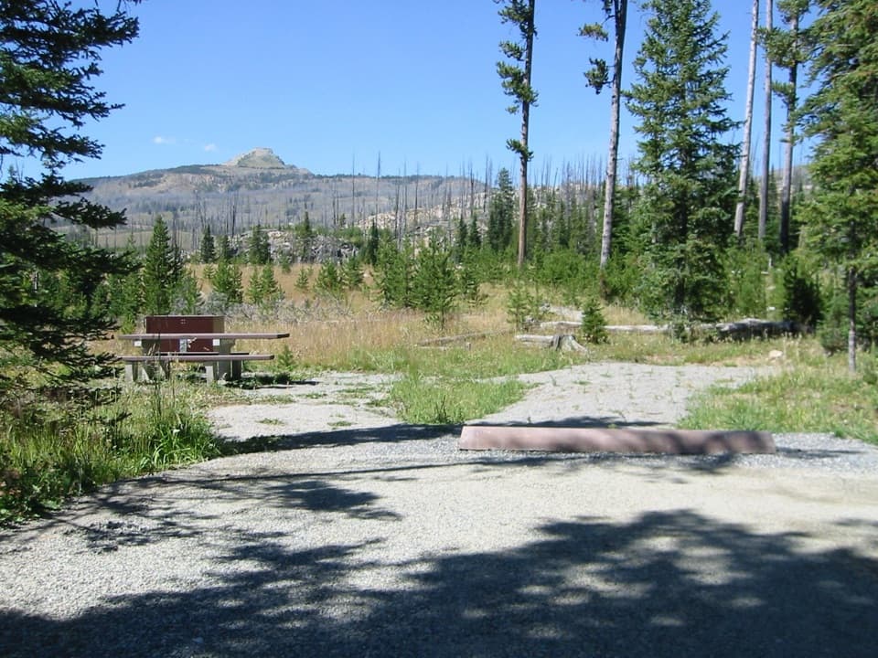 Campground · 1.4 mi awayColter CampgroundA hard-sided-only campground two miles east of Cooke City.
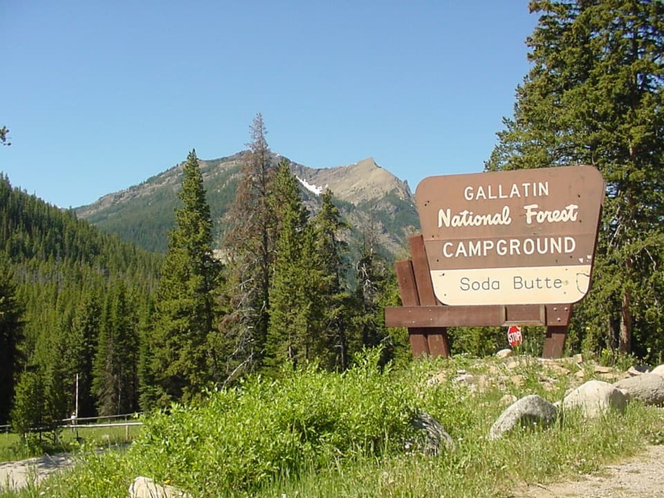 Campground · 2.4 mi awaySoda Butte CampgroundA quiet, wooded base near Cooke City and Yellowstone’s northeast entrance.
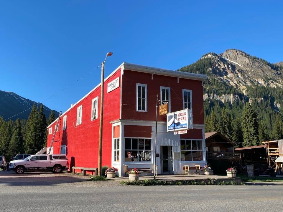 Store · 3.2 mi awayCooke City StoreA working mercantile still uses its hand-crank cash register.
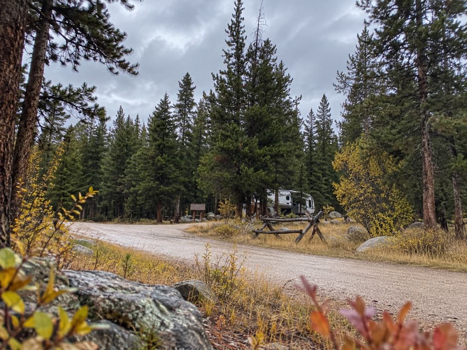 Campground · 3.4 mi awayFox Creek CampgroundSleep under conifers with Pilot and Index Peaks in view.
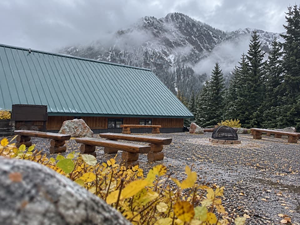 Visitor center · 3.4 mi awayCooke City Visitor Center and MuseumNine touchscreens bring Cooke City's local history to life.
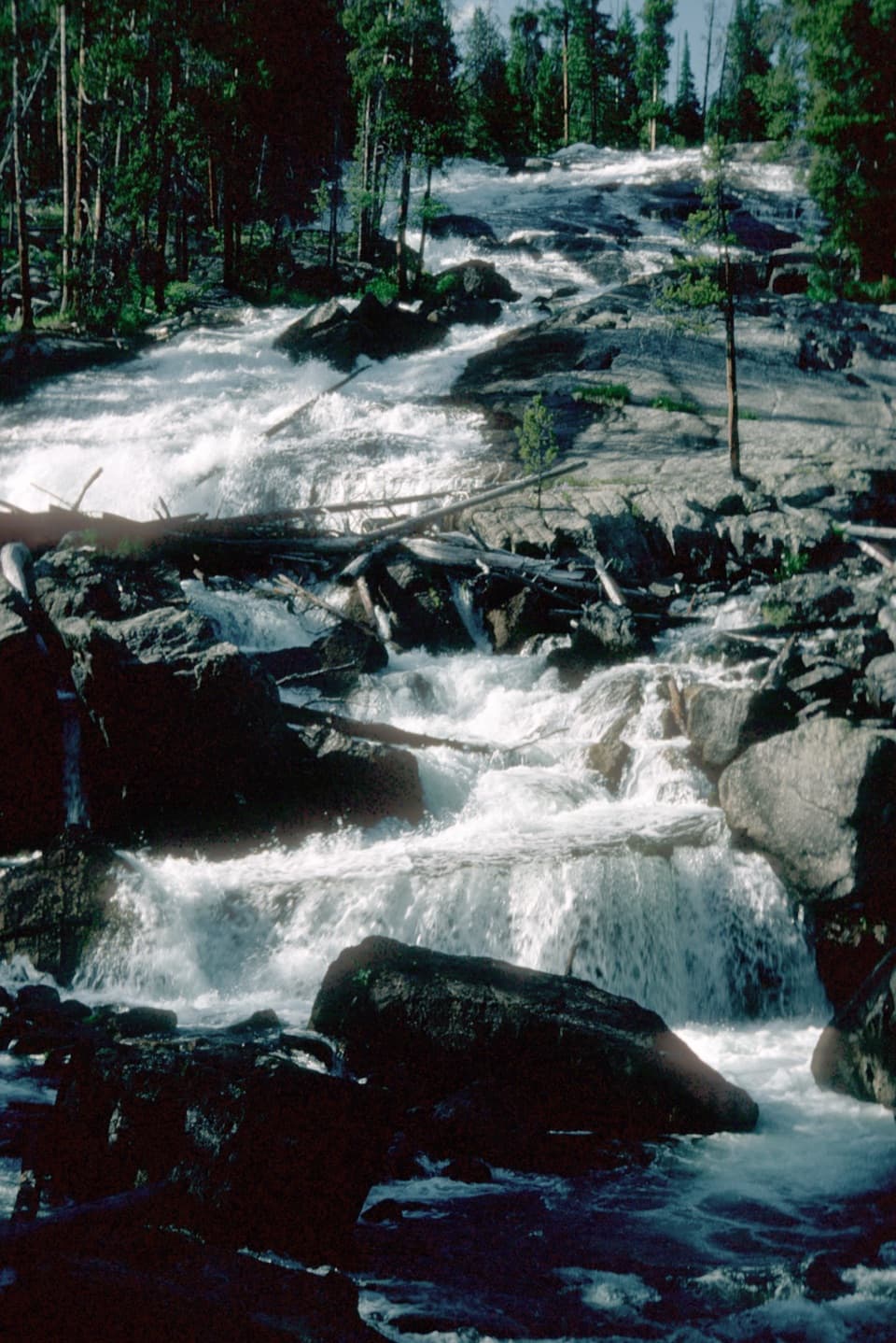 Sight · 6.9 mi awayCrazy Creek FallsA short walk reaches a broad cascade beside the Beartooth Highway.
 Campground · 7 mi awayCrazy Creek CampgroundA 16-site campground on a bluff above its namesake creek.
Parkwolf’s Beartooth Highway ranking

The audio tour guide for the drive, plus offline maps, trails, and wildlife heatmaps for when the signal drops.