Parking
Start at the signed Clarks Fork Trailhead off US 212. Starting at the separate Kersey Lake access changes the route and mileage; parking capacity and facilities at Clarks Fork were not verified.
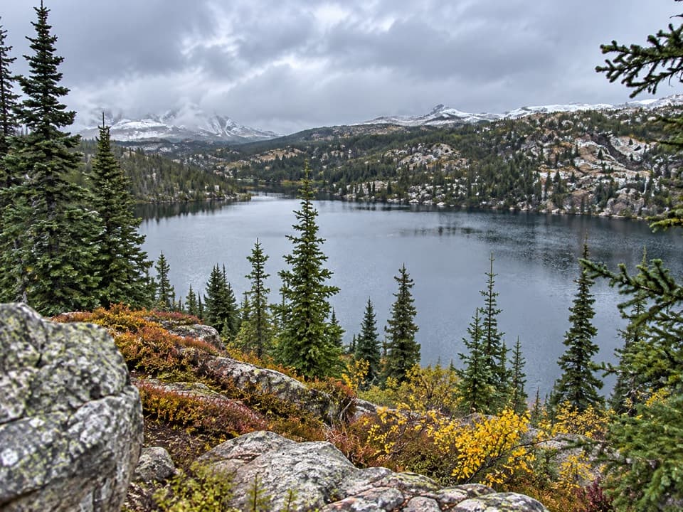
Beartooth Highway, MT · WY
Marsh bridges, a Kersey overlook, and a high alpine lake.
Overview
Map & elevation
Plan your hike

The highest, rockiest slopes around here are a summer buffet for grizzly bears.
Beartooth Highway Tour Guide
Parkwolf is a GPS audio tour guide for Beartooth Highway. As you drive, it chimes in with what’s ahead: hidden gems, upcoming stops, history, geology, and wildlife, right through your car’s speakers.
See the Beartooth Highway audio tourRecorded for this trailhead
Clarks Fork Picnic Area“You're coming up on Clarks Fork Picnic Area, a small riverside stop with two picnic tables. This is a good choice for a lunch break with a little more to see than the river.”
Plays as you drive up to this trailhead in the Parkwolf Beartooth Highway Tour Guide.
More stories near here in the app
“Fantastic app with many points of information… It’s great to just turn on while you’re driving and it gives you an audio tour of the national Park. We love it!!!!”


Trail guide
Rock Island Lake Trail is an out-and-back from the signed Clarks Fork Trailhead to a high mountain lake. The mapped corridor is 3.39 miles each way, or about 6.8 miles round trip; allow around three to four hours. It is not a steep summit hike, but the distance, rolling footing and 8,000-foot elevation make this a real half-day walk. Go for the lake and the changing route, not for a quick roadside stroll.
The walk starts across a bridge over the Clarks Fork of the Yellowstone, above rapids; downstream the river settles into a clear pool. The single-track climbs through timber. At the Kersey Lake junction, stay on the uphill route instead of dropping toward the lake, then continue straight at the Vernon Lake branch. A high point opens a view across Kersey Lake, though the trail does not circle its shore.
Past marshes and small ponds, a sturdy bridge crosses a broad wet area before the grade rises a little. Just beyond the wilderness boundary, look for the right-hand branch to Rock Island Lake. It is easy to miss, and maps disagree whether the spur is numbered 565 or 566; the route to the lake is the important cue. Continuing a short way beyond that junction leads toward Crazy Lakes instead. The final spur is about two-thirds of a mile to the lake; return the same way.
Rock Island Lake sits around 8,180 feet. It is a quiet-feeling high-country finish after a mostly wooded approach, with the lake and surrounding ridges opening up at the end. The lake supports brook trout and stocked Yellowstone cutthroat. Moose are sometimes reported around the nearby wet ground, but sightings are never a sure thing.
Start at the signed Clarks Fork Trailhead off US 212; beginning at the separate Kersey Lake access changes the route and mileage. Beartooth Highway access is usually seasonal, roughly late May into early October, with dates varying by year. No toilets or potable water at this trailhead were confirmed, so bring what you need and treat any backcountry water. Dogs are allowed; keep them under control and pack out waste. This is bear country, so carry bear spray.
Wildlife
 42 sightingsGrizzly BearMost seen around 7 AMSighting map
 22 sightingsGray WolfMost seen around 6 AMSighting map
 49 sightingsBisonMost seen around 6 AMSighting map
 122 sightingsMooseMost seen around 6 AMSighting map
 260 sightingsMountain GoatMost seen around 7 AMSighting map
 16 sightingsBighorn SheepMost seen around 7 PMSighting map
Sighting maps show where each species has been reported across Beartooth Highway. Wildlife moves, so no sighting is guaranteed.
Keep exploring
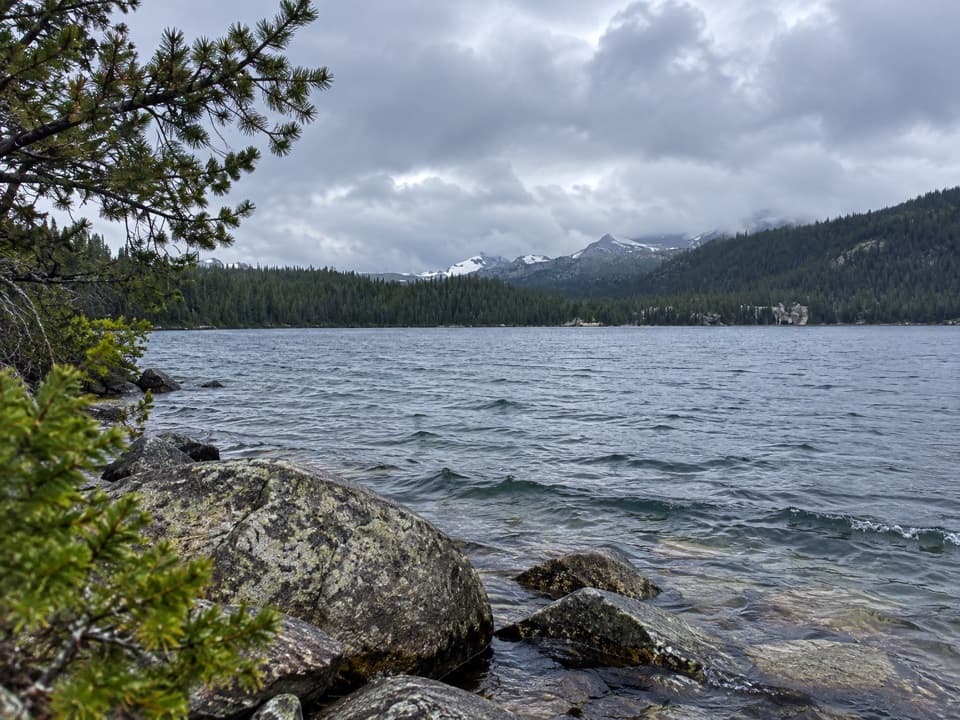 ModerateWidewater Lake Trail11.6 mi · 6.5 hr · At the trailheadA long walk at 8,000 feet to a large trout lake.
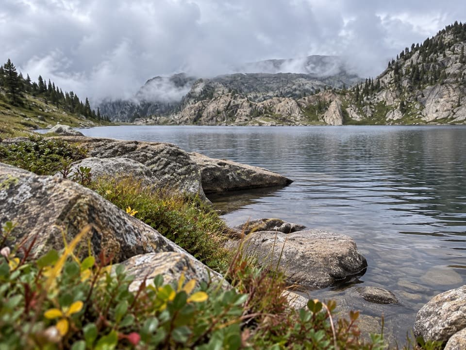 ChallengingMariane Lake Trail16.6 mi · 9.5 hr · At the trailheadLong, high backcountry miles lead to a rocky alpine lake.
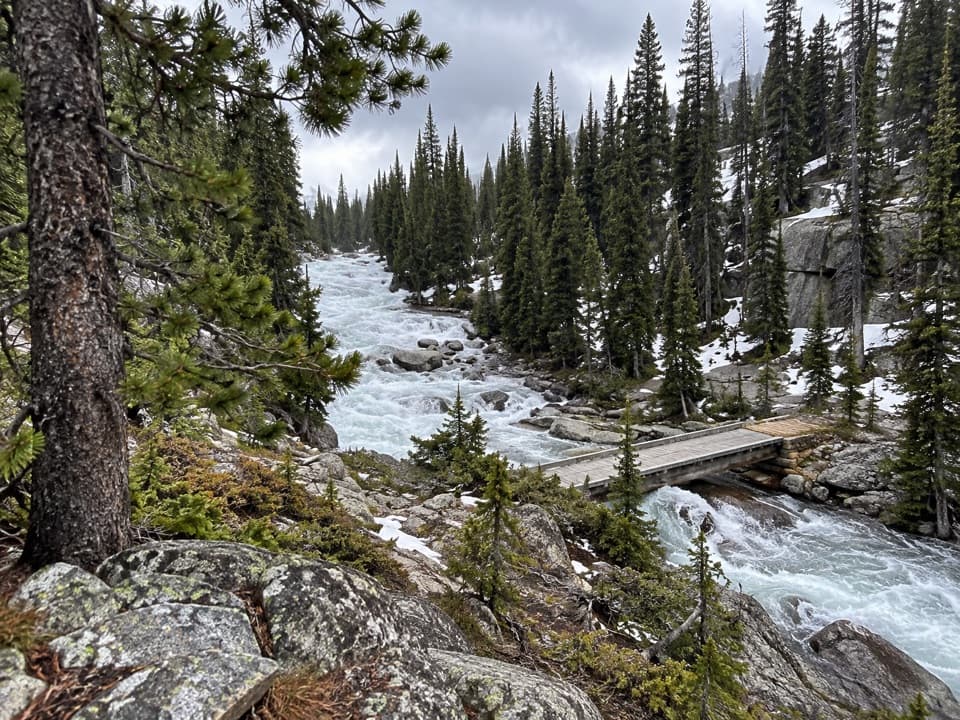 ChallengingOtter Lake Trail18 mi · 11.5 hr · At the trailheadA long high country walk to a remote trout lake.
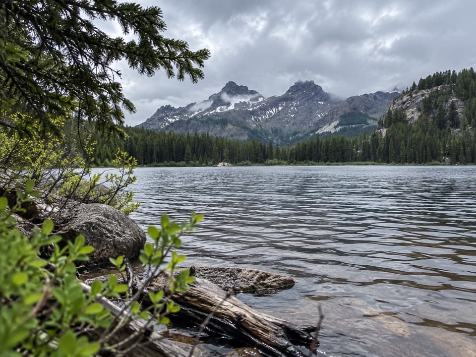 ModerateVernon Lake Trail5.4 mi · 2.8 hr · At the trailheadA lake payoff after one muddy, buggy mile at Clarks Fork.
 ChallengingRussell Creek Trail20 mi · 12 hr · At the trailheadA full-day high-country climb to Fossil Lake and back.
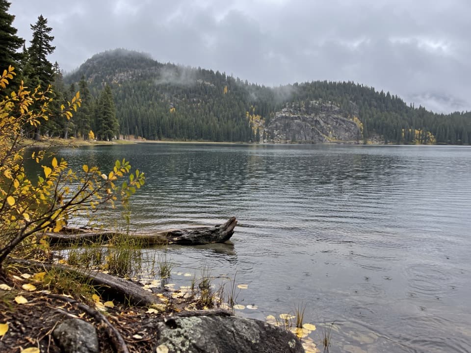 ModerateFox Lake Trail9 mi · 5 hr · At the trailheadA high-country trout lake rewards the long walk from the highway.
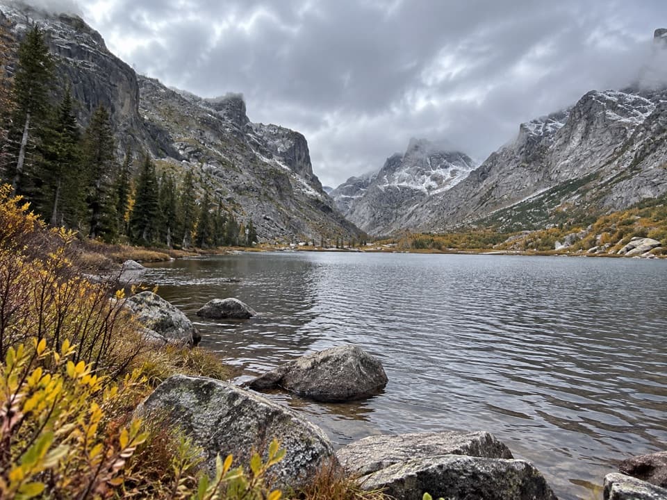 EasyKersey Lake Trail3 mi · 1.3 hr · 0.1 mi awayAn easy three-mile return to a trout lake on the Beaten Path
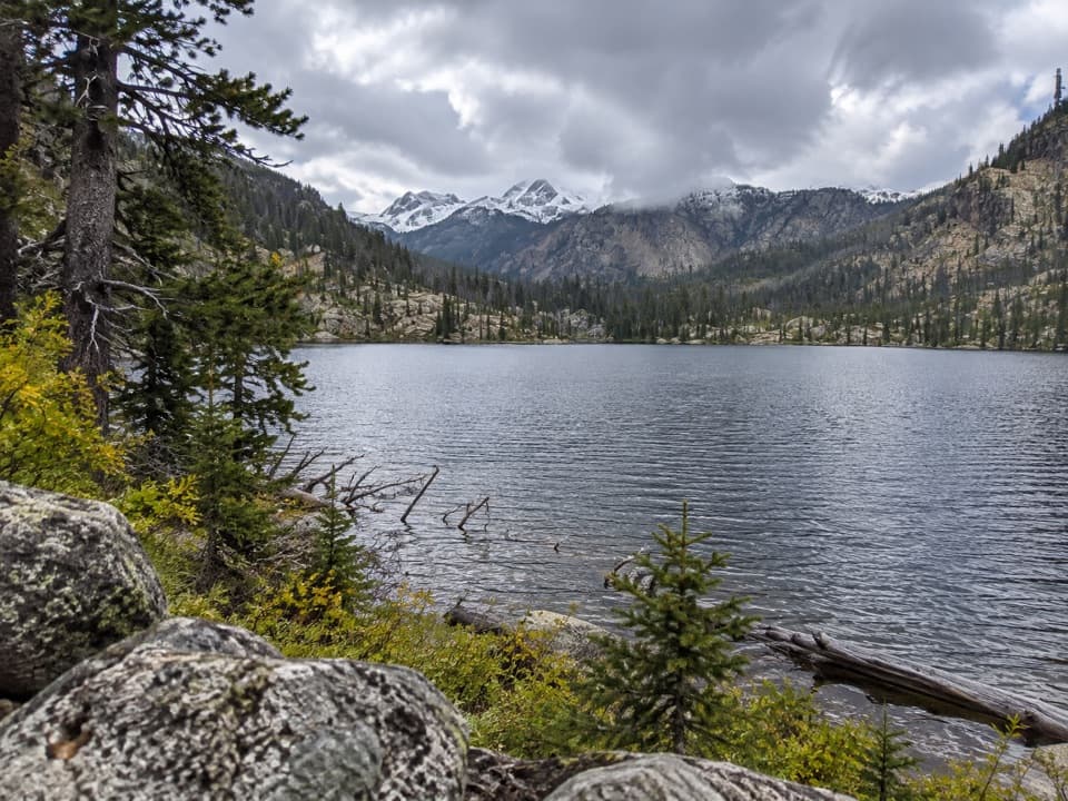 ModerateBroadwater River to Curl Lake Trail6.5 mi · 4.5 hr · 0.1 mi awayMarshy meadows and a rough final approach to Curl Lake
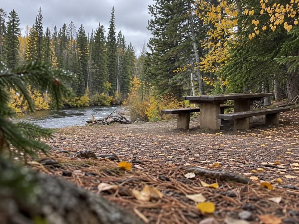 Picnic area · At the trailheadClarks Fork Picnic AreaA riverside pause with a little highway and flume history.
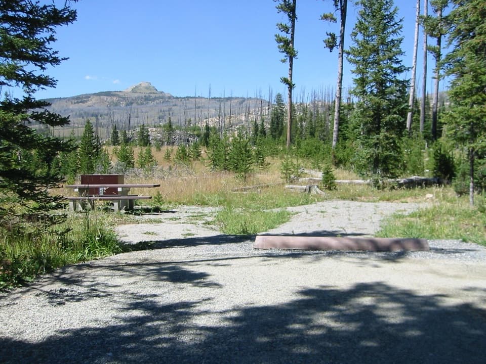 Campground · 1.4 mi awayColter CampgroundA hard-sided-only campground two miles east of Cooke City.
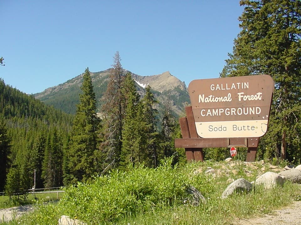 Campground · 2.3 mi awaySoda Butte CampgroundA quiet, wooded base near Cooke City and Yellowstone’s northeast entrance.
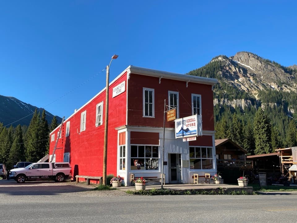 Store · 3.2 mi awayCooke City StoreA working mercantile still uses its hand-crank cash register.
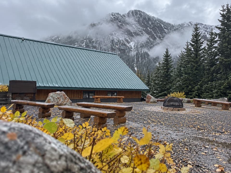 Visitor center · 3.3 mi awayCooke City Visitor Center and MuseumNine touchscreens bring Cooke City's local history to life.
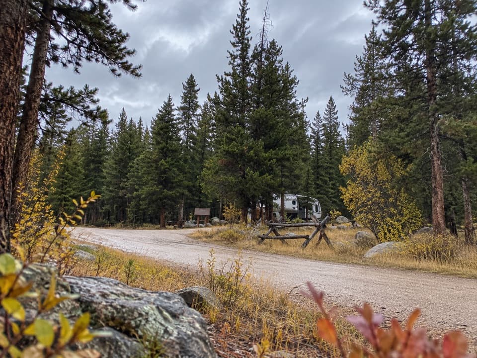 Campground · 3.4 mi awayFox Creek CampgroundSleep under conifers with Pilot and Index Peaks in view.
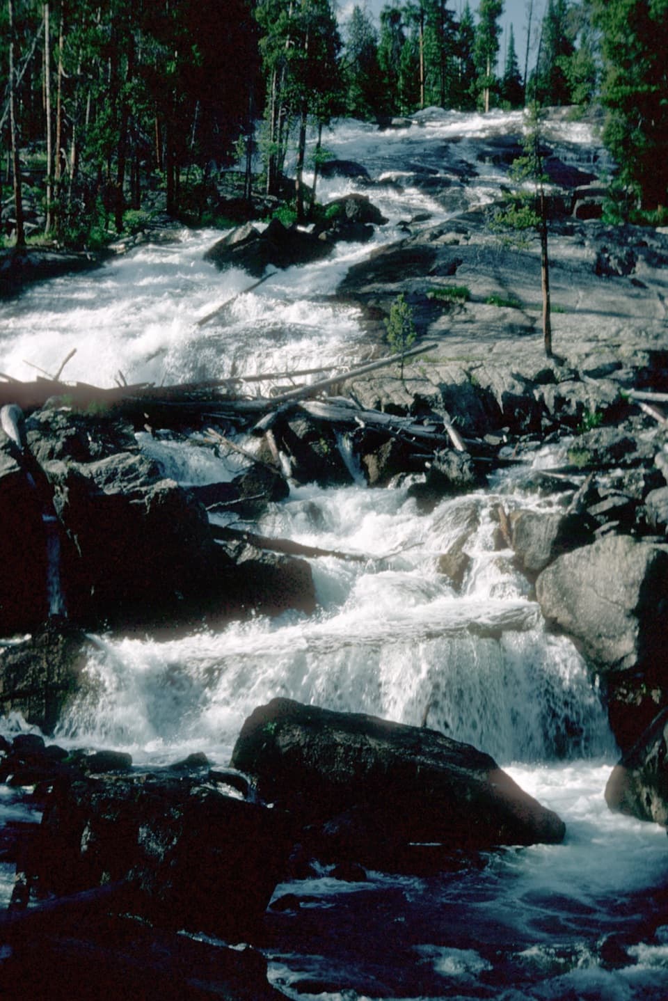 Sight · 6.9 mi awayCrazy Creek FallsA short walk reaches a broad cascade beside the Beartooth Highway.
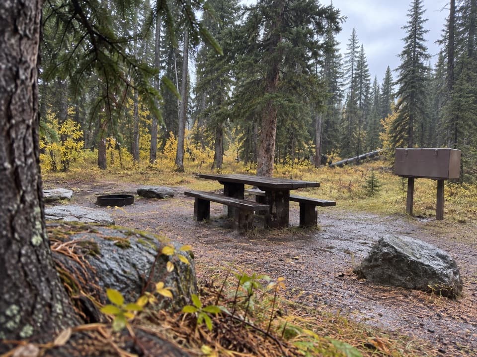 Campground · 7 mi awayCrazy Creek CampgroundA 16-site campground on a bluff above its namesake creek.
Parkwolf’s Beartooth Highway ranking

The audio tour guide for the drive, plus offline maps, trails, and wildlife heatmaps for when the signal drops.



