Vernon Lake Trail in Beartooth Highway

Beartooth Highway, MT · WY

Vernon Lake Trail

A lake payoff after one muddy, buggy mile at Clarks Fork.

Length
5.4mi
Time
2.8hr
Elev. change
299ft
Difficulty
Moderate
  • Dogs allowed
  • High point 8,222 ft
  • #37 of 82 in Beartooth Highway

Hear the audio tour

Clarks Fork Picnic Area

Overview

About Vernon Lake Trail

Why go

  • A forested walk to an alpine lake framed by lily pads and jagged peaks.
  • Lillis Lake gives you a shorter turnaround.

Heads up

  • The first river stretch can be muddy and mosquito-heavy.
  • At about 5.4 miles, this takes longer than a quick highway stop.
Vernon Lake Trail is a roughly 5.4-mile out-and-back from the Clarks Fork Trailhead to a small, high-country lake in the Absaroka-Beartooth Wilderness. Allow 2½ to 3 hours. The route follows Russel Creek Trail #3 for about a mile, then turns onto Vernon Lake Trail #565, climbing over several short hills before dropping to the lake. It is a good half-day walk for an alpine-lake finish, not a quick stop from the highway.
Parkwolf’s verdictIs this the hike for you?

Map & elevation

The route

Loading the Beartooth Highway map
Full map
Elevation7,923–8,222 ft
TrailheadClarks Fork Trailhead45.01764, -109.86936
Keep this map with you offline in the Parkwolf app

Plan your hike

Before you go

Parking

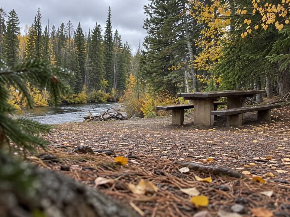
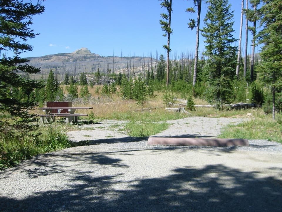
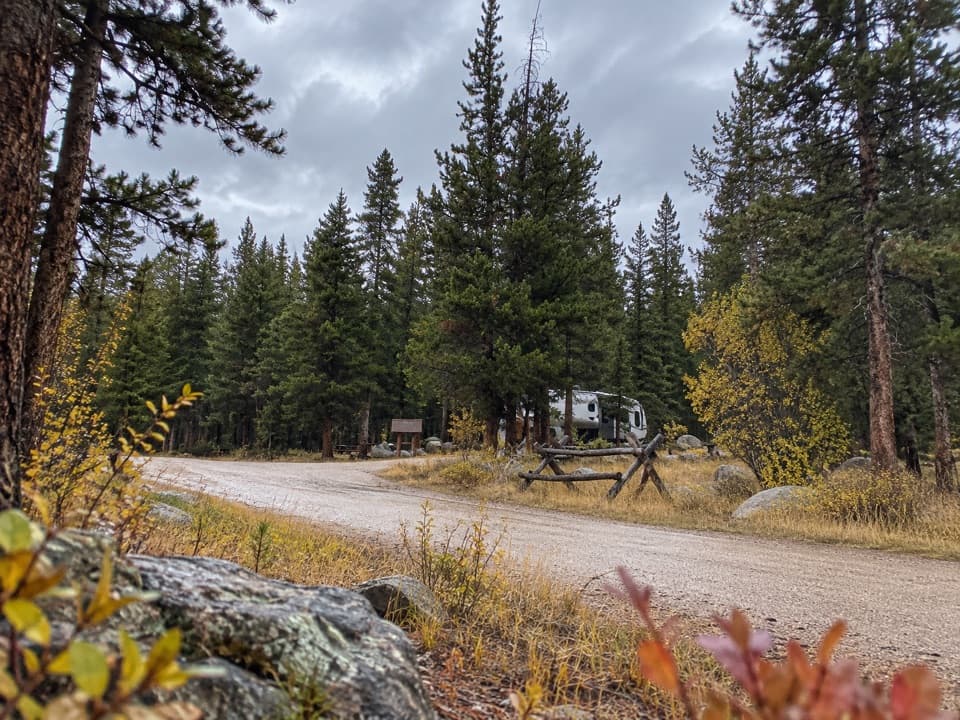
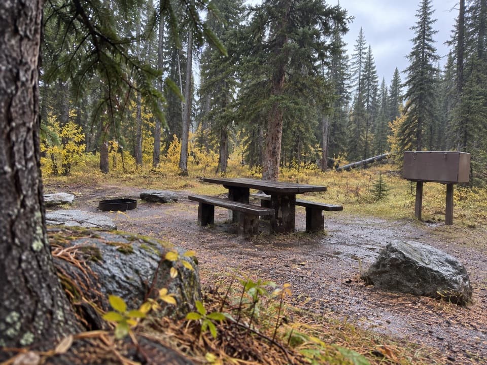
The signed Clarks Fork Trailhead is beside US 212, about four miles east of Cooke City. Park at Clarks Fork Picnic Area; the Forest Service lists open parking, two picnic tables, a toilet, and no potable water. The day-use site is seasonal (about June 1–November 1, weather dependent); check Highway 212 access before driving.

Safety

The slow-river stretch near the start can be muddy and mosquito-heavy. The route reaches roughly 8,200 feet, and the trailhead has no potable water. Keep pets under control and pack out their waste.

1 active Beartooth Highway alert

  • ClosureBeartooth Highway seasonal closure and falling-rock advisoryBeartooth Highway (US-212) is closed for the season between Cooke City and Red Lodge; do not plan to travel the highway as a through route.Official details
Beartooth Highway alerts
A park ranger sits on a dash-mounted phone, talking, as Parkwolf’s Tour Guide plays “Army Cutworm Moths: A Grizzly Bear Buffet” on Grand Loop Road below Dunraven Pass in Yellowstone
Parkwolf Tour GuideThe highest, rockiest slopes around here are a summer buffet for grizzly bears.

Beartooth Highway Tour Guide

Your drive to Vernon Lake Trail, narrated.

Parkwolf is a GPS audio tour guide for Beartooth Highway. As you drive, it chimes in with what’s ahead: hidden gems, upcoming stops, history, geology, and wildlife, right through your car’s speakers.

See the Beartooth Highway audio tour

Recorded for this trailhead

Clarks Fork Picnic Area
0:00 / 0:31
“You're coming up on Clarks Fork Picnic Area, a small riverside stop with two picnic tables. This is a good choice for a lunch break with a little more to see than the river.”

Plays as you drive up to this trailhead in the Parkwolf Beartooth Highway Tour Guide.

More stories near here in the app

  • Colter Campground
  • Reading a Beaver Pond
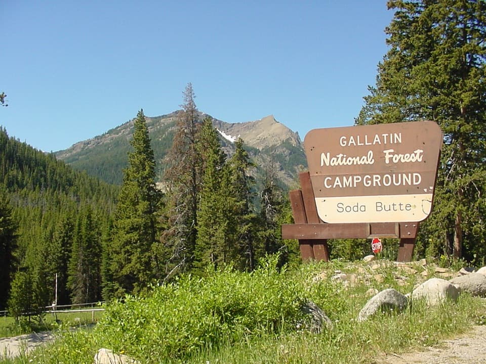
  • Soda Butte Campground
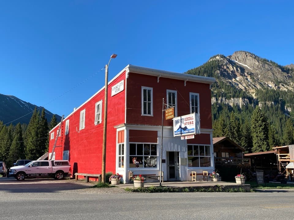
  • Cooke City: Museum and Historic Store
  • 62 audio storiesacross Beartooth Highway’s roads, triggered by GPS as you drive
  • Wildlife heatmapsfor Grizzly Bear, Gray Wolf, Bison, and 13 more
  • Works offlinemaps, 82 trails, 36 places, and audio download before you lose signal
  • CarPlay readysimple controls built for the drive
★★★★★
“Fantastic app with many points of information… It’s great to just turn on while you’re driving and it gives you an audio tour of the national Park. We love it!!!!”
JMJamesApp Store review
Download Parkwolf on the App StoreGet Parkwolf on Google Play

4.7 from 8,600+ ratings

Trail guide

Hiking Vernon Lake Trail

The shared approachStart at the signed trailhead beside US 212 and follow Russel Creek Trail 3.

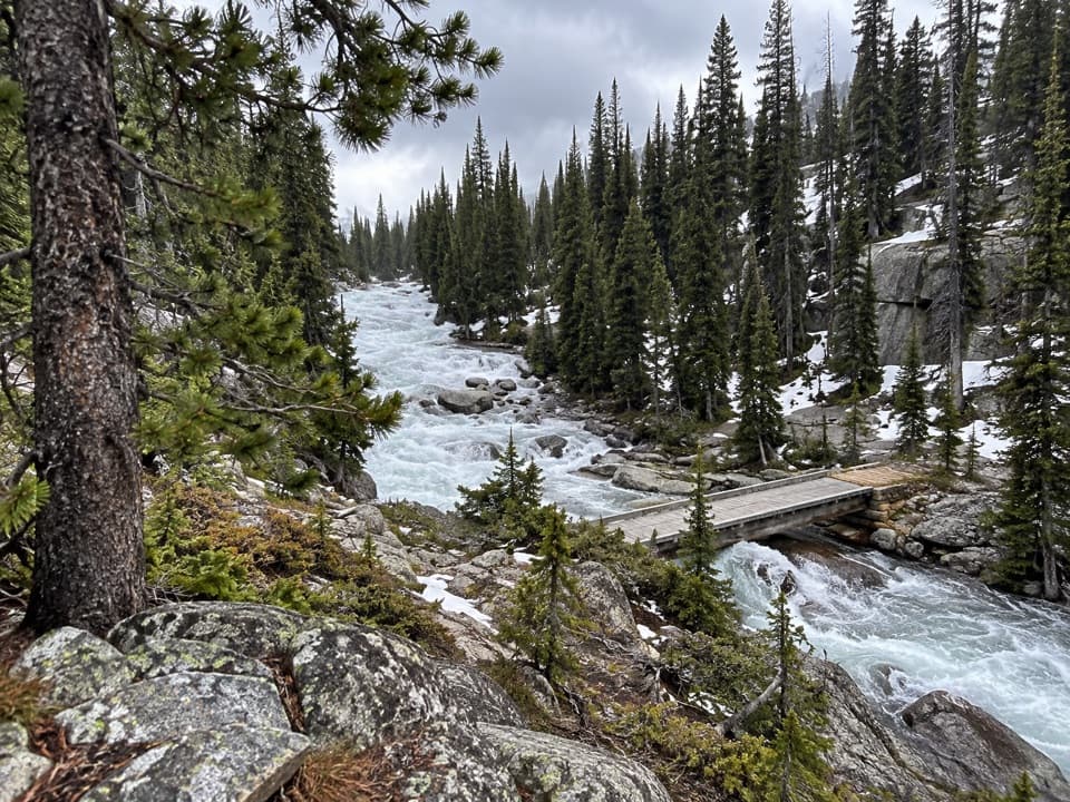
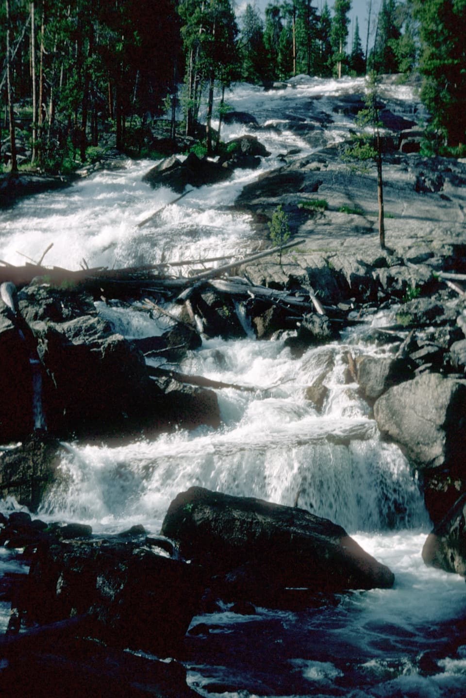
Start at the signed trailhead beside US 212 and follow Russel Creek Trail #3. Near the beginning, the separate Flume Trail and a falls overlook make short side trips; the accessible Flume Trail has interpretation about a hydroelectric flume built in 1916. The route then travels through forest beside the Clarks Fork. The slow-river stretch can be muddy and mosquito-heavy. Turn right at the Vernon Lake Trail #565 junction after about a mile.

On the Vernon spurThe spur climbs and dips over several short hills.

The spur climbs and dips over several short hills. A small pond appears about a quarter mile after the turn, then Lillis Lake comes at roughly mile two from the trailhead. If that is far enough, turn around there. About a quarter mile beyond Lillis, a side trail heads toward Margaret Lake; stay on the Vernon Lake route to reach Vernon. The trail drops through forest toward the lake shore.

At Vernon LakeThe lake sits at 7,977 feet, covers 8.2 acres, and reaches 32 feet at its deepest point.

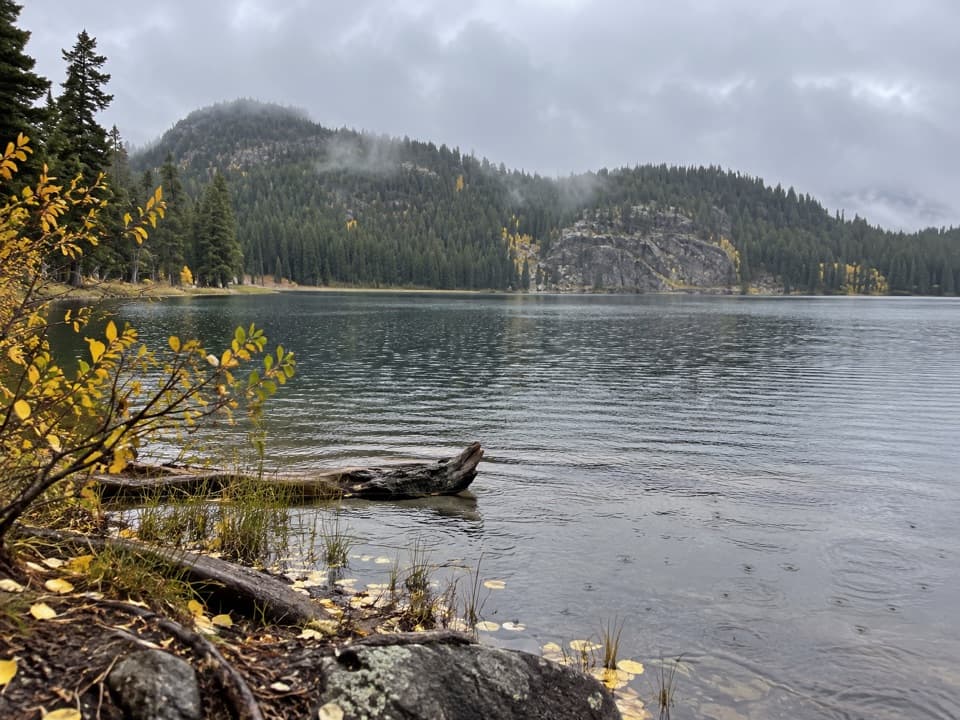
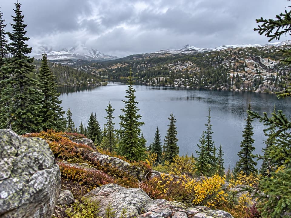
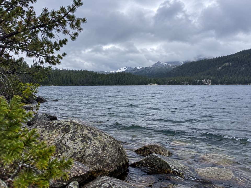
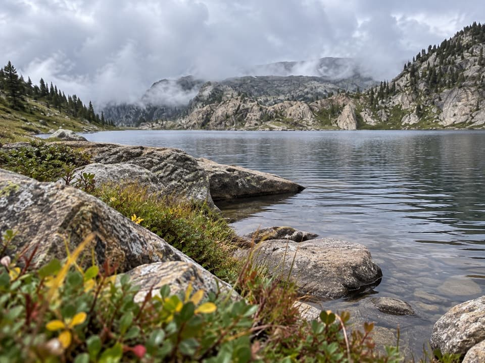
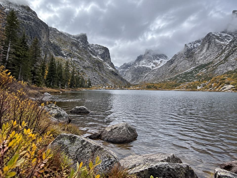
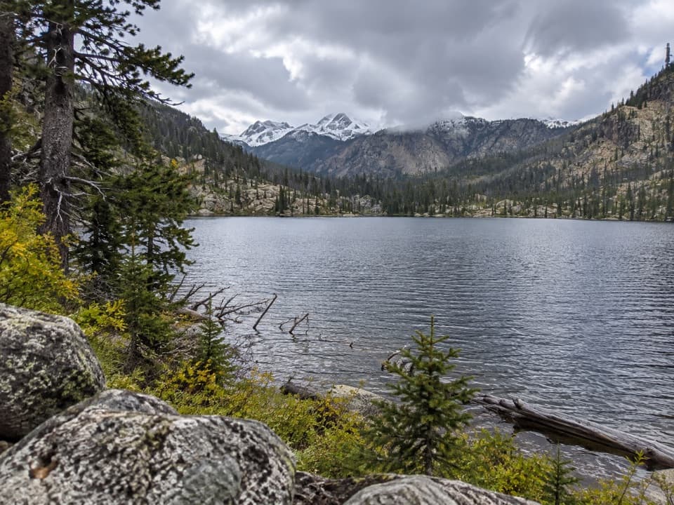
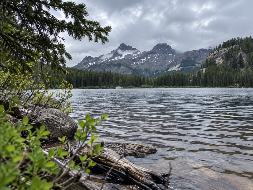
The lake sits at 7,977 feet, covers 8.2 acres, and reaches 32 feet at its deepest point. Lily pads fringe the water, with forest and jagged peaks around the shore. Brook trout and Yellowstone cutthroat are listed here; a 2022 survey sampled eight brook trout averaging 13.1 inches. The pads make casting awkward, but breaks along the western shore give anglers a clearer line. For a photo, include some shoreline or lily pads beneath the mountain skyline. A few campsites are reported, with better camping on the south side; firewood there can be picked over.

Access and a useful side stopClarks Fork Picnic Area is four miles east of Cooke City on US 212.

Clarks Fork Picnic Area is four miles east of Cooke City on US 212. The Forest Service lists open parking, two picnic tables, a toilet, and no potable water. The picnic site is day-use only and its season is weather dependent, roughly June 1 to November 1; check Highway 212 access before driving. Keep pets under control and pack out their waste.

Is this the hike for you?Distance is approximate: the official lake guide lists 3 miles from Clarks Fork without saying…

Distance is approximate: the official lake guide lists 3 miles from Clarks Fork without saying whether that is one way or round trip, while the connected mapped route reaches the shore in about 2.7 miles. This entry uses 5.4 miles round trip. Lillis Lake, roughly 2 miles from the start, makes a shorter turnaround at about 4 miles out and back.

Wildlife

Wildlife in Beartooth Highway

All Beartooth Highway wildlife maps

Sighting maps show where each species has been reported across Beartooth Highway. Wildlife moves, so no sighting is guaranteed.

Keep exploring

Near Vernon Lake Trail

See it all on the map

Trails that start nearby

Places near the trailhead

Parkwolf’s Beartooth Highway ranking

Top-rated trails in Beartooth Highway

All 82 trails
  1. 1Glacier Lake TrailChallenging · 4.4 mi
  2. 2Beartooth Lakes LoopModerate · 7.8 mi
  3. 3Becker and Albino Lakes TrailModerate · 12.2 mi
  4. 4Beartooth Loop National Recreation TrailChallenging · 10.9 mi
  5. 5The Beaten PathChallenging · 26 mi
  6. 6Gardner Lake TrailModerate · 1.6 mi

Take Parkwolf to Beartooth Highway.

The audio tour guide for the drive, plus offline maps, trails, and wildlife heatmaps for when the signal drops.

4.7 from 8,600+ ratings

Download Parkwolf on the App StoreGet Parkwolf on Google Play