Parking
No dedicated trailhead lot or confirmed public parking point was verified. The west access is at the Yellowstone-boundary end in Silver Gate; arrange a ride from Cooke City or retrace the road.
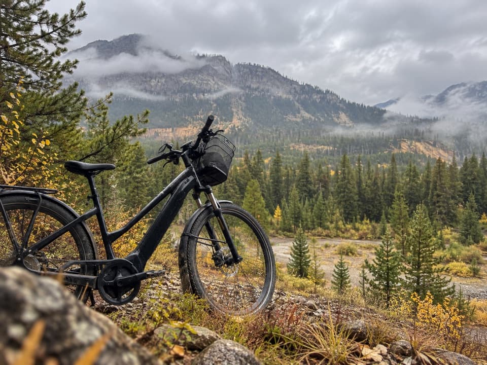
Beartooth Highway, MT · WY
A mellow road walk linking Silver Gate and Cooke City.
Overview
Map & elevation
Plan your hike

The highest, rockiest slopes around here are a summer buffet for grizzly bears.
Beartooth Highway Tour Guide
Parkwolf is a GPS audio tour guide for Beartooth Highway. As you drive, it chimes in with what’s ahead: hidden gems, upcoming stops, history, geology, and wildlife, right through your car’s speakers.
See the Beartooth Highway audio tourRecorded for this area
Before the Highway: Bannock Trail“The Bannock Trail around Silver Gate carries a much older travel story than the highway. Shoshone and Bannock people crossed the Yellowstone country to reach bison hunting grounds on the Great Plains.”
Plays on the road 1 mi from the trailhead in the Parkwolf Beartooth Highway Tour Guide.
More stories near here in the app
“Fantastic app with many points of information… It’s great to just turn on while you’re driving and it gives you an audio tour of the national Park. We love it!!!!”


Trail guide
Bannock Trail is a 2.9-mile, one-way point-to-point walk along the local dirt-and-gravel road from its west access at the Yellowstone boundary in Silver Gate to Cooke City. The mapped line rises about 135 feet net as it heads east. Allow about 1.5 hours one way; retracing the route makes a 5.8-mile outing, so arrange a ride or turn back before you start.
This is a mellow road walk rather than a purpose-built hiking tread: motor vehicles use the same corridor, with gravel and dirt underfoot and a short wooden bridge near Silver Gate. It runs through a steep-sided valley between wooded slopes. Bridal Falls is a separate scramble off the road, not part of this mapped route or its mileage.
The west end is at the Yellowstone boundary in Silver Gate, and the line ends in Cooke City. No dedicated lot or confirmed public parking point was found; use only legal parking and plan your return from Cooke City. Local tourism promotes this road for walking, but public summer access rights along cabin-served sections were not confirmed. Follow posted signs and verify access before setting out. Silver Gate's Log Cabin Cafe is a separate, summer-only stop; Cooke City has additional seasonal shops and restaurants.
The roadbed served as a supply route for mining-era Cooke City. The Bannock name recalls the Bannock band of the Shoshone, who used this route to reach buffalo grounds on the Great Plains.
Wildlife
 42 sightingsGrizzly BearMost seen around 7 AMSighting map
 22 sightingsGray WolfMost seen around 6 AMSighting map
 49 sightingsBisonMost seen around 6 AMSighting map
 122 sightingsMooseMost seen around 6 AMSighting map
 260 sightingsMountain GoatMost seen around 7 AMSighting map
 16 sightingsBighorn SheepMost seen around 7 PMSighting map
Sighting maps show where each species has been reported across Beartooth Highway. Wildlife moves, so no sighting is guaranteed.
Keep exploring
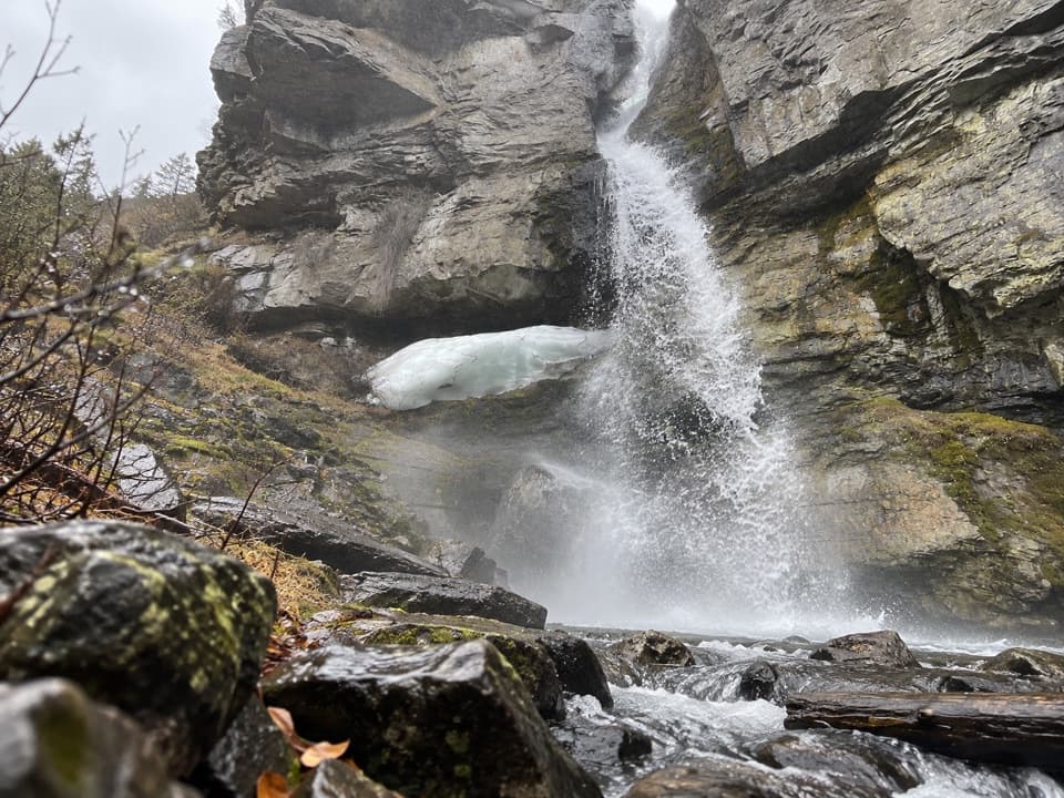 EasyBridal Falls Trail0.4 mi · 30 min · 0.8 mi awayA 40-foot cascade drops through a narrow granite cleft.
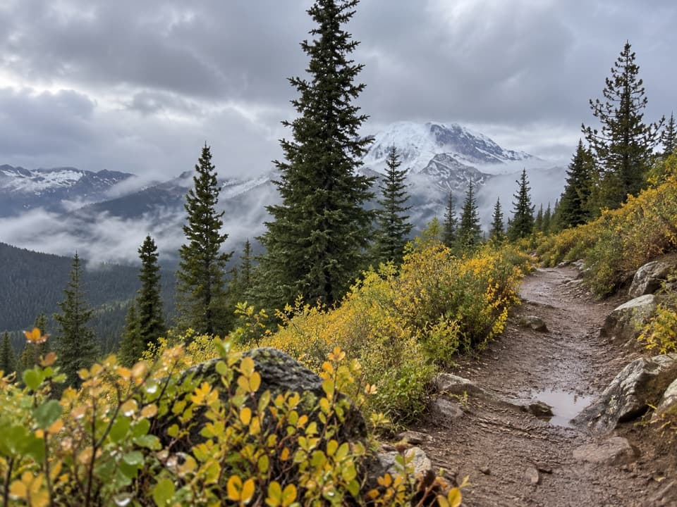 ModerateSheep Creek Basin Trail #5765.4 mi · 3.5 hr · 2.4 mi awayA high-country climb to a basin above 9,000 feet.
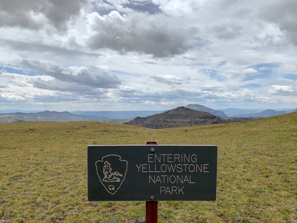 ChallengingRepublic Creek Trail8.4 mi · 6.5 hr · 2.7 mi awayA creekside climb reaches the grassy edge of Yellowstone.
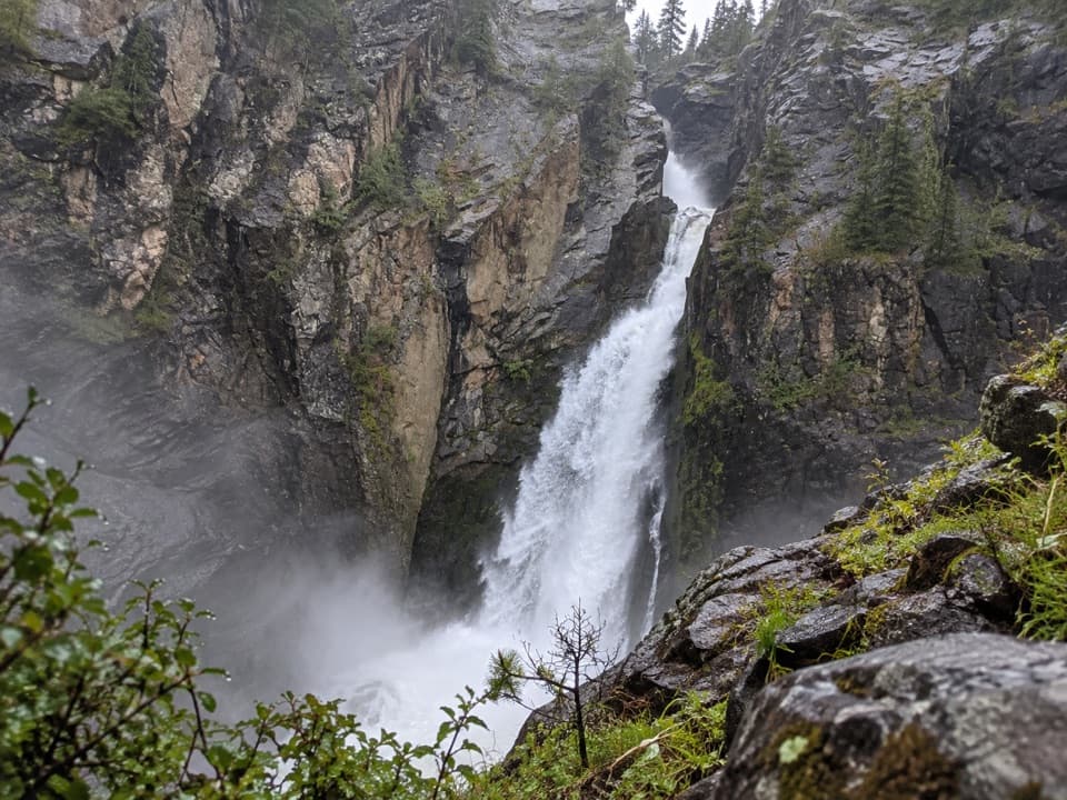 ModerateWoody Falls Trail2.7 mi · 1.8 hr · 2.9 mi awayThree tiers of waterfall reward the short uphill walk.
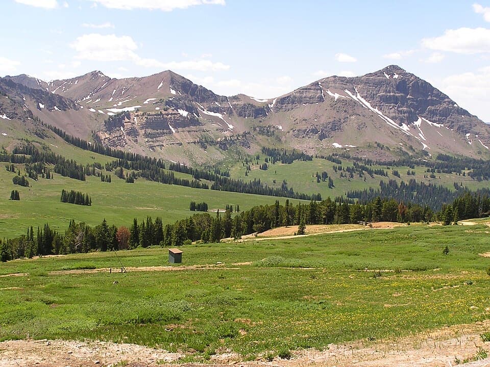 ModerateBlack Warrior Trail #5781.9 mi · 1.5 hr · 2.9 mi awayA rough-track climb from Miller Creek Road to near Daisy Pass.
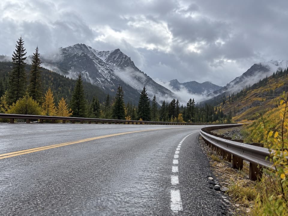 EasySoda Butte Creek Trail2.5 mi · 1.5 hr · 3.6 mi awayA short historic-route walk on gravel east of Cooke City.
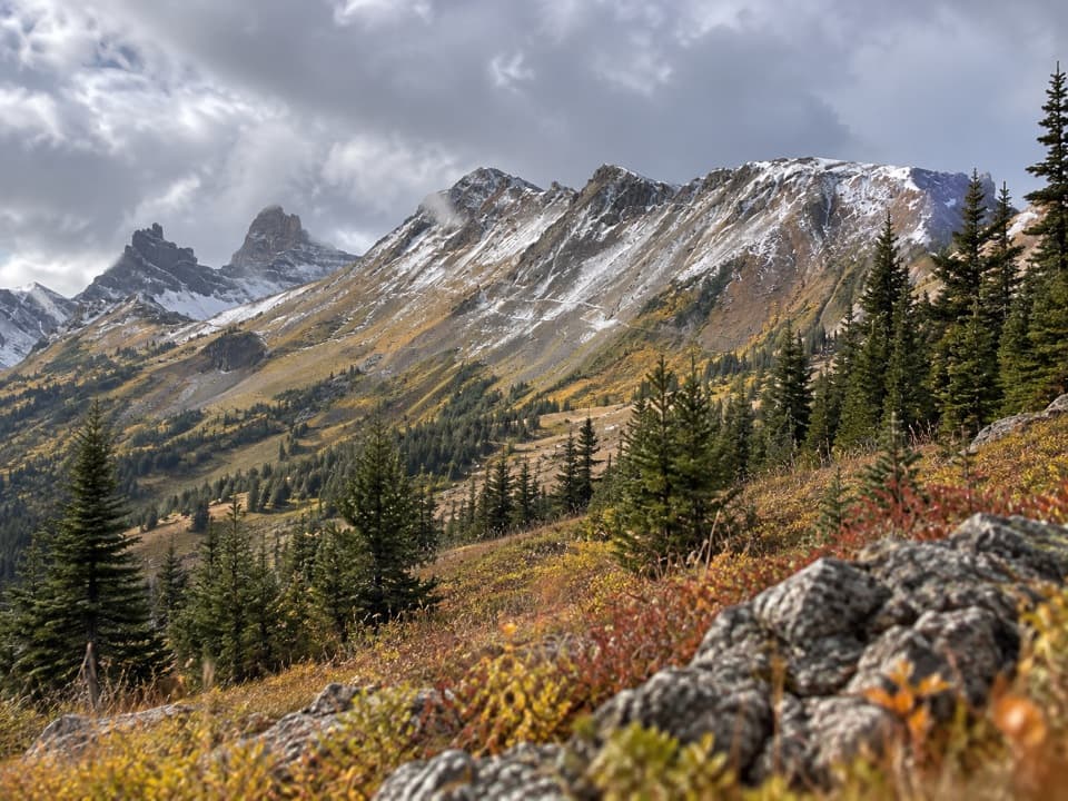 ModerateHenderson Mountain Trail #5792.9 mi · 1.5 hr · 3.8 mi awayA short, high-country walk above Cooke City.
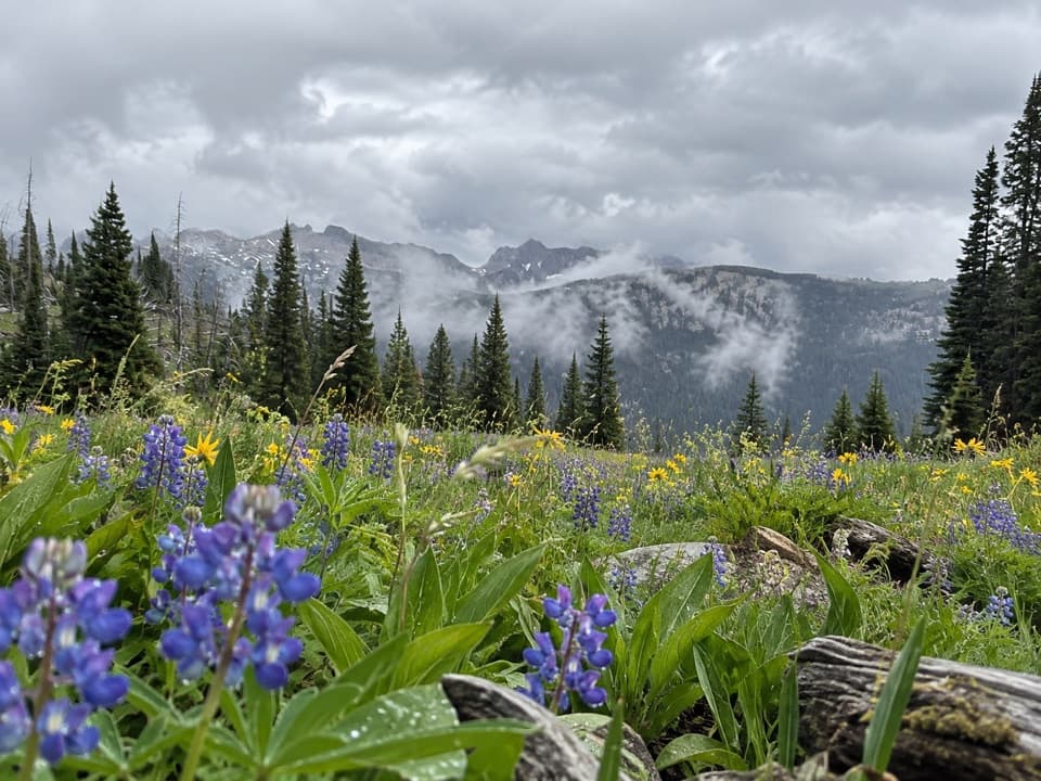 ChallengingLost Wolverine Trail #11311.7 mi · 7.5 hr · 3.9 mi awayA high-country traverse to Wolverine Pass through wildflower meadows.
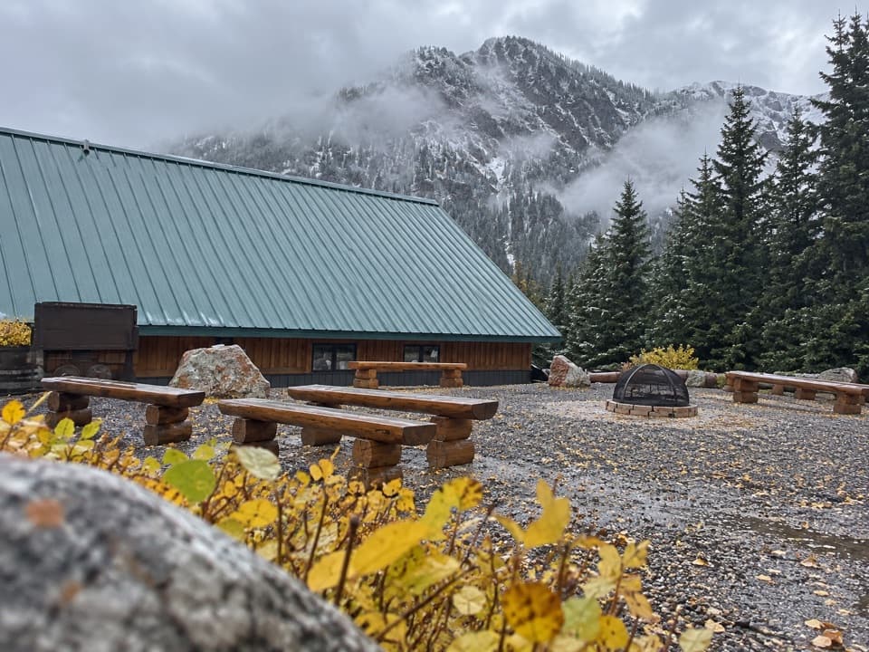 Visitor center · 2.8 mi awayCooke City Visitor Center and MuseumNine touchscreens bring Cooke City's local history to life.
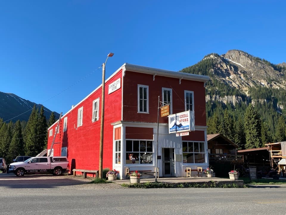 Store · 2.9 mi awayCooke City StoreA working mercantile still uses its hand-crank cash register.
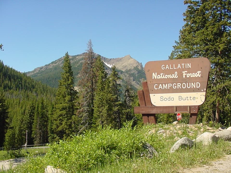 Campground · 3.8 mi awaySoda Butte CampgroundA quiet, wooded base near Cooke City and Yellowstone’s northeast entrance.
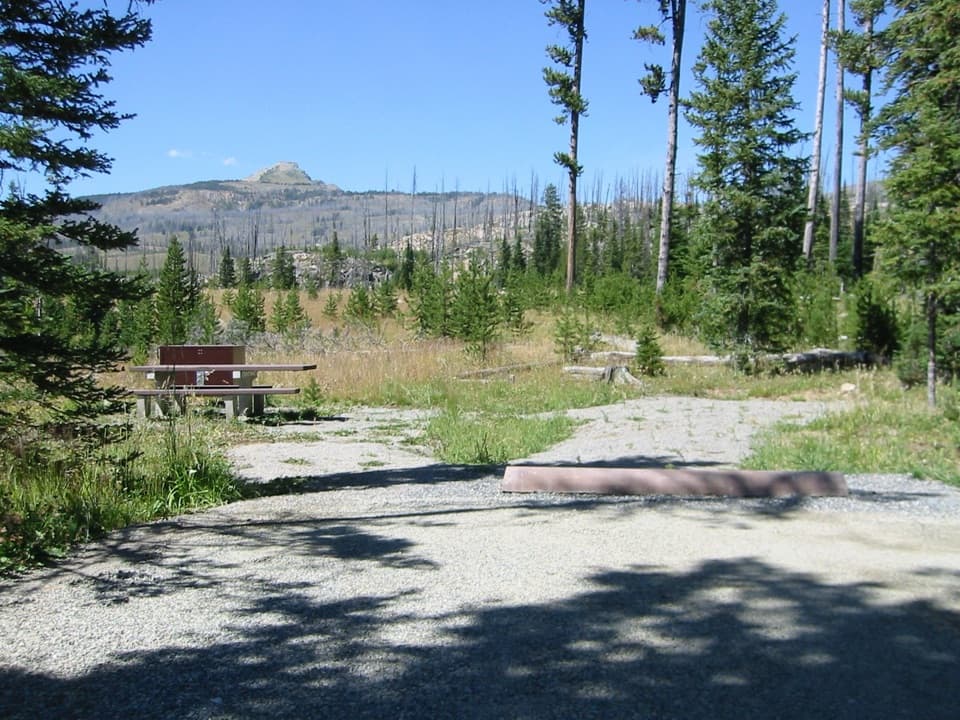 Campground · 4.9 mi awayColter CampgroundA hard-sided-only campground two miles east of Cooke City.
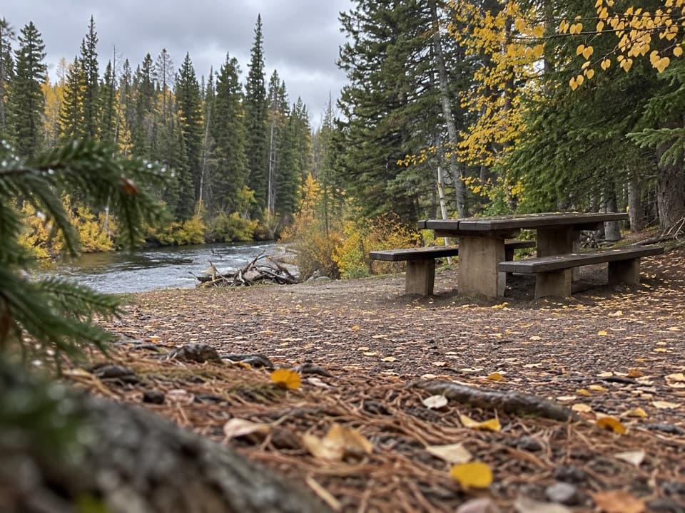 Picnic area · 5.9 mi awayClarks Fork Picnic AreaA riverside pause with a little highway and flume history.
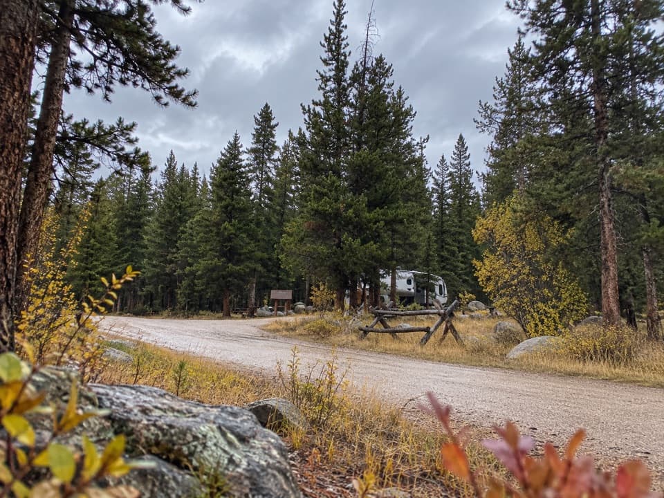 Campground · 7.8 mi awayFox Creek CampgroundSleep under conifers with Pilot and Index Peaks in view.
Parkwolf’s Beartooth Highway ranking

The audio tour guide for the drive, plus offline maps, trails, and wildlife heatmaps for when the signal drops.




