Pros & cons
PROS
- Tallest single-drop waterfall along the Parkway
- Rewarding loop with multiple viewpoints near a campground and picnic area
CONS
- Steep, rocky trail sections
- Busy on weekends and peak seasons
Overview
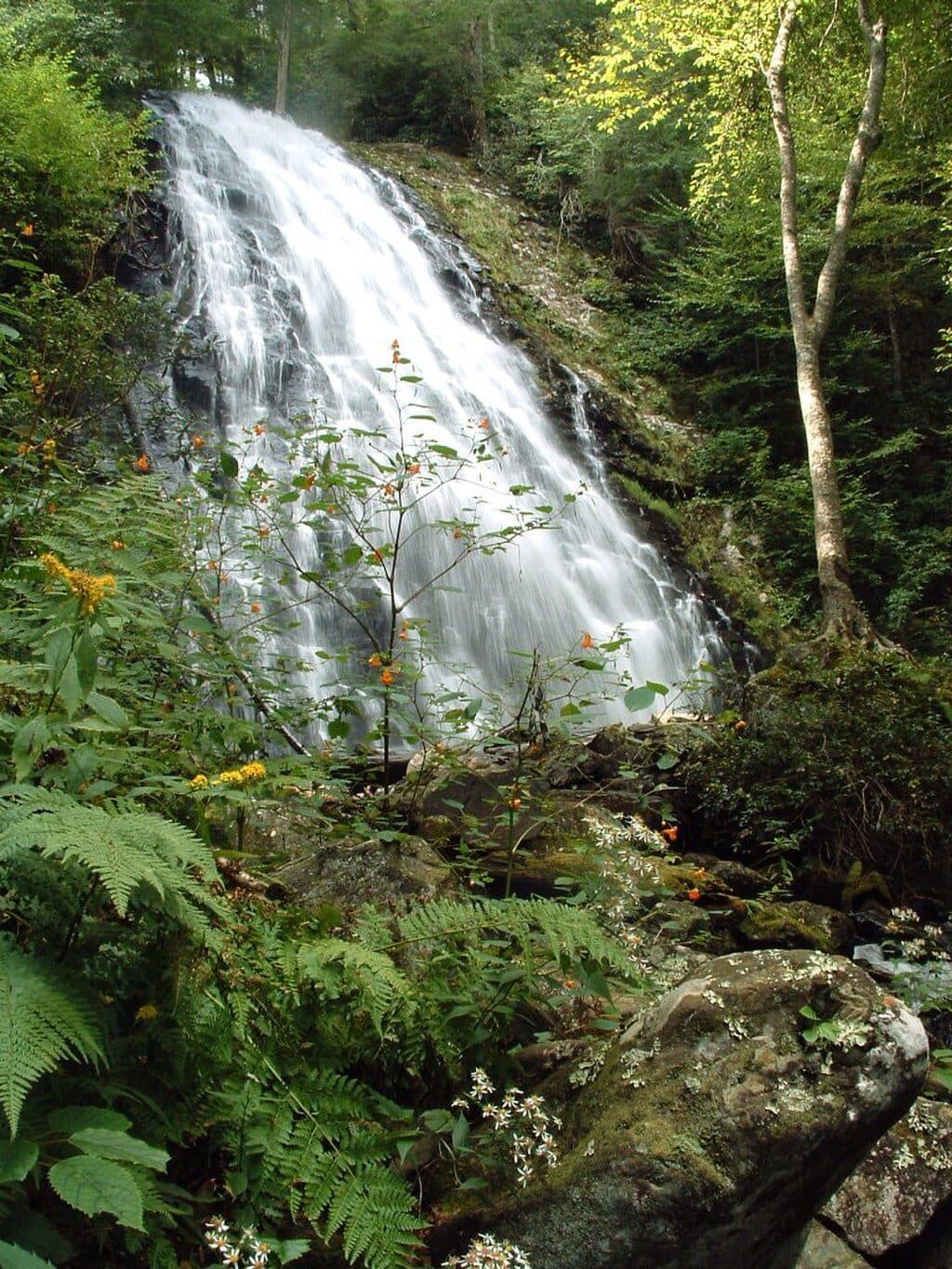
Crabtree Falls is the Parkway’s headliner waterfall: a dramatic single drop where Crabtree Creek spills over jagged rock, fanning into a photogenic curtain. It sits at Milepost 339.5 within the 253-acre Crabtree Falls Recreation Area, a compact hub with a picnic area, trail parking, and an adjacent campground.
Why it’s special
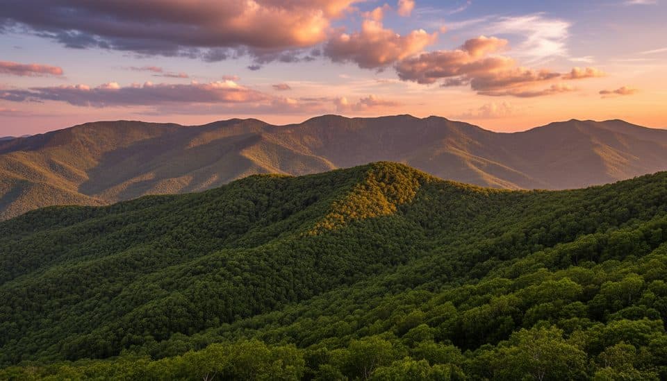
NPS calls it the tallest single waterfall along the Blue Ridge Parkway, and it looks the part—especially after a good rain. Spring wildflowers light up the forest (think mountain laurel and gentian), and the lush, mossy setting keeps it pretty even in summer. Fall color wraps the whole scene in gold.
The hike
Most people do the 2.5-mile loop from the campground area. It drops to a wooden bridge at the base—prime viewing and spray-in-your-face photos—then climbs a “moderately steep” set of switchbacks that give you another angle on the falls before leveling along Crabtree Creek. If you want it shorter and easier, go out-and-back to the base (about 1.8 miles). Starting at the former visitor-center area near the Parkway adds roughly 0.6 miles round-trip (≈3.1 miles total).
What you’ll see
- The falls: a striking 60–70 foot single-drop cascade with close-up views from the bridge at the base.
- Forest and flowers: hardwood canopy, ferns, moss, and standout spring/early-summer blooms.
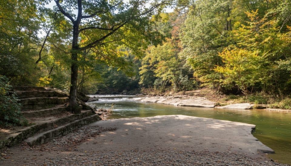
- Creekside walking: the upper loop meanders along Crabtree Creek and tributaries, with tranquil forest vibes.
Wildlife
This moist, shaded cove forest is good for songbirds, salamanders, and the occasional deer. Warmer months bring more critter activity—keep your eyes on damp logs and leaf litter near the creek.
Facilities
You’ll find designated trail parking, a picnic area with tables, and seasonal restrooms and potable water in the recreation area. The adjacent Crabtree Falls Campground offers tent/RV sites with in-season flush toilets, grills/fire rings, and water.
History & geology
Once known as Crabtree Meadows for its crabapple trees (fewer remain today), the recreation area was renamed Crabtree Falls in 2010 to put the spotlight on the waterfall. The creek drops over ancient metamorphic rock typical of the Blue Ridge—part of why the falls present such a clean, single plunge.
Best time to visit
- Season: Spring for wildflowers; summer for lush shade; fall for foliage. It’s appealing year-round.
- Crowds: Go early or late, especially on weekends and holidays.
- Photography: Soft morning or late-afternoon light works best; the falls are extra powerful after rain, but expect slick footing.

Is it worth it?
Yes—if you can handle a bit of steep, rocky trail, this is one of the Parkway’s most satisfying waterfall hikes. The loop gives you multiple views, and the campground/picnic setup makes it easy to linger.
Where it is
37.8432, -79.0745Tips for Crabtree Falls
- 01Start from the campground lot for the standard 2.5-mile loop; beginning at the former visitor-center area adds about 0.6 miles round-trip.
- 02For an easier outing, go out-and-back to the base instead of completing the loop.
- 03Arrive early or late to avoid weekend crowds and get better light on the falls.
- 04Expect slick, rocky footing after rain; trekking poles help on the switchbacks.
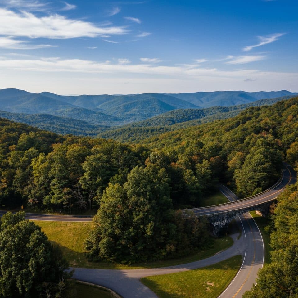
- 05Use Blue Ridge Parkway access (MP 339.5); don’t route to Crabtree Road.
Amenities
Near Crabtree Falls
All places →All trails →
3.9 mi away20 Minute Cliff OverlookQuiet roadside perch with big westward views and a quirky name storyPullout · Parking
4 mi awayWhite Rock Gap TrailWaterfall-and-ravine stroll with a fun creek crossing and views.Moderate · 3.4 mi · 2 hr
4 mi awayWhite Rock Falls TrailWaterfall, gorge, and forest loop off the Parkway near SlacksModerate · 4.5 mi · 2.5 hr
4.1 mi awayThe Priest OverlookQuick roadside view toward The Priest and Three RidgesPullout · Parking
4.2 mi awayWhite Rock FallsShady waterfall hike with wading pools and surprise mountain viewsTrailhead · Parking
6.2 mi awayWigwam Falls TrailBlink-and-you’re-there walk to a photogenic falls and logging railsEasy · 0.2 mi · 15 min
6.2 mi awayYankee Horse Ridge OverlookRoadside wigwam falls and a bite of logging historyTrailhead · Pullout
10.8 mi awayAlbright Loop TrailQuieter Humpback Rocks alternative with woods, streams, and a view spurModerate · 3.5 mi · 2.5 hr