Pros & cons
PROS
- Direct access to the Mountains-to-Sea Trail
- Quick stop with long-range views on clear days
CONS
- No facilities or trash cans
- Small parking area that can fill
Overview
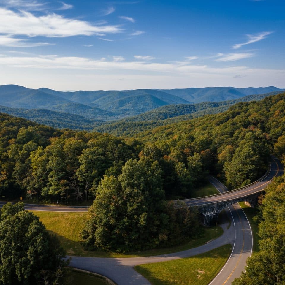
A modest, road-side stop at milepost 345.3, Singecat Ridge Overlook is more useful than flashy. It’s a small paved pullout with a view that can be nice on clear days, but it’s not the Parkway’s showstopper. The real perk here is trail access: hikers use this lot to hop on the Mountains-to-Sea Trail (MST).
What You’ll See
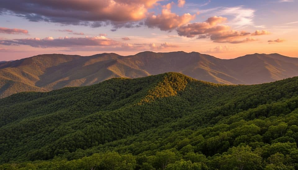
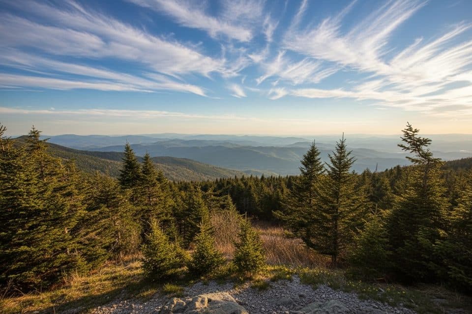
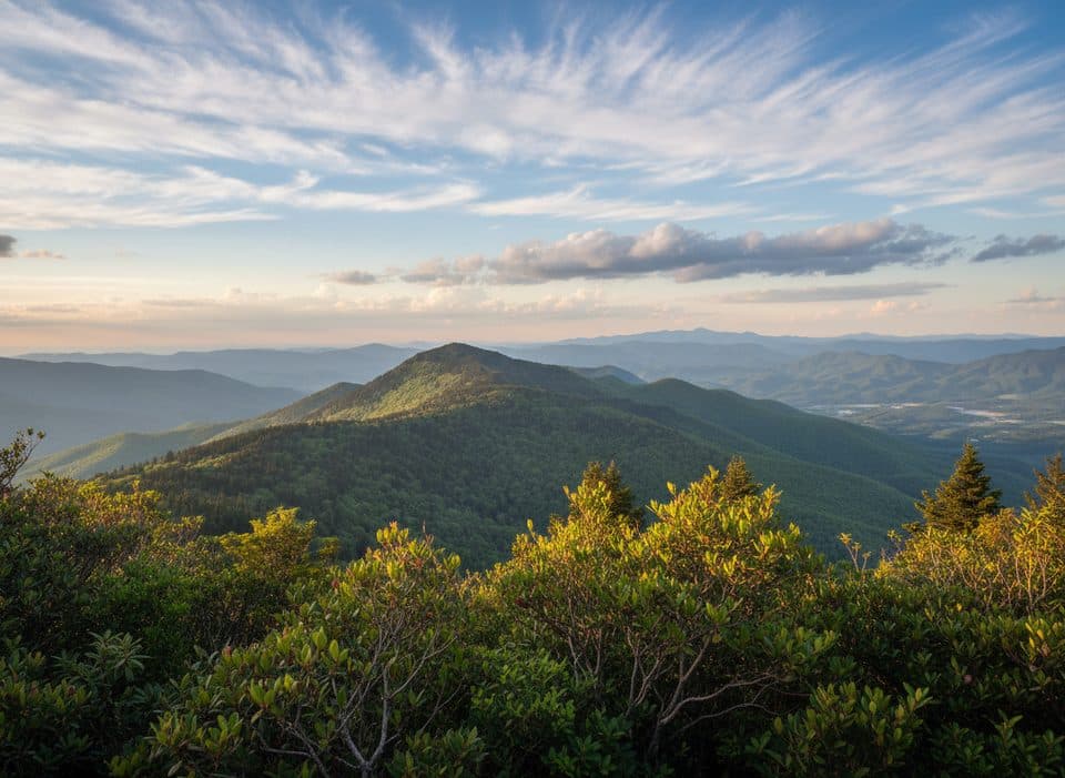
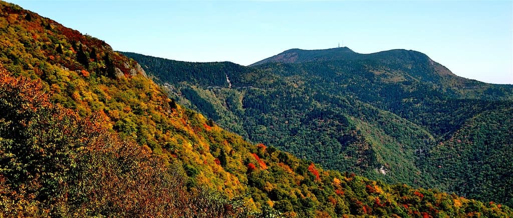
Expect layered mountain scenery when visibility is good, though several visitors note the view isn’t as dramatic as nearby overlooks. On clear days, it’s still a fine spot for a quick photo before moving on.
Hiking Connection
The Mountains-to-Sea Trail crosses right by the overlook—look for access at the ends of the parking area. Hikers report you can head both east and west from here; one note even mentions impressive old-growth forest about a mile to the west along the MST.
Amenities & Logistics
Keep it simple: no restrooms, no picnic tables, and no trash cans. The lot is small and right off a curve, so pull in/out carefully and don’t plan to linger if it’s busy.
Wildlife
Wildlife sightings happen along this stretch of Parkway—occasional bear encounters have been reported from car pullouts nearby. Enjoy from a distance and never feed or approach wildlife.
Best Time to Visit
Drop in on clear days for the best visibility. If you’re aiming to hike the MST from here or want an easier parking experience, earlier in the day is your friend. Shade hits parts of the lot at certain times, which can be a small bonus in summer.

Where it is
35.7565, -82.1766Tips for Singecat Ridge Overlook (MP 345.3)
- 01The Mountains-to-Sea Trail crosses here—look for blazes at the ends of the lot.
- 02No trash cans or bathrooms—pack it out and plan stops elsewhere.
- 03Parking is limited; make it a quick photo stop if spaces are tight.
- 04Use extra caution pulling in and out; the overlook sits on a curve.
Amenities
Near Singecat Ridge Overlook (MP 345.3)
All places →All trails →
1.2 mi awayBuck Creek Gap Parking Overlook (MP 344.1)Quiet overlook with MST access and Pisgah ridge viewsTrailhead · Pullout
1.7 mi awayHewat Overlook (MP 347.9)Small pullout with a clean view toward Mount MitchellPullout · Parking
2.1 mi awayBlack Mountains Overlook (MP 342.2)Quick stop with big views of the highest peaks in the EastPullout · Parking
2.8 mi awayLaurel Knob Overlook (MP 349.2)Quiet, wide-open mountain views with a sneaky-good sunrisePullout · Parking
4.3 mi awayCrabtree Falls Loop TrailPremier Parkway waterfall loop with a steep, rocky biteModerate · 2.5 mi · 2 hr
5 mi awayBalsam Nature Trail (Mount Mitchell)Short spruce‑fir loop steps from the highest summit in the EastEasy · 0.8 mi · 30 min
5 mi awayOld Mitchell TrailHistoric, rocky spruce fir climb to Mount Mitchell’s summitChallenging · 4 mi · 2.5 hr
8.8 mi awayBig Butt TrailHigh-elevation ridge walk to Little Butt with big views and solitudeChallenging · 6 mi · 4 hr