Grandfather Mountain Nature Park in Blue Ridge Parkway

#14 of 217 sights in Blue Ridge Parkway

Sight · Blue Ridge Parkway

Grandfather Mountain Nature Park

A summit drive, a mile-high bridge and plenty of reasons to stop.

Photo: Trent Staats / Pexels

Type
Sight
Nearest trail
1 mi
Audio stories
2 nearby
  • Parking
  • Scenic viewpoint
  • Trailhead
  • Restrooms

Hear the audio tour

Beacon Heights: Two Views from the Rocks
Download Parkwolf on the App StoreGet Parkwolf on Google Play

4.7 from 8,600+ ratings

Overview

About Grandfather Mountain Nature Park

Why stop

  • A paved summit road leads to a high-ridge walk and the Mile High Swinging Bridge.
  • Wildlife habitats and natural-history exhibits broaden the visit beyond the summit.

Heads up

  • Admission is required even for a short bridge visit.
  • Wind, lightning and ice can close the exposed bridge.

Map

Where it is

Loading the Blue Ridge Parkway map
Full map
SightGrandfather Mountain Nature Park36.08502, -81.84646
Keep this map with you offline in the Parkwolf app

Plan your stop

Before you go

7 active Blue Ridge Parkway alerts

  • ClosureHurricane Helene closures and hazards in North CarolinaMentions North Carolina, referenced in this guideDo not enter closed Parkway sections, trails, facilities, or adjacent NPS lands in North Carolina; recreation is prohibited in the closed NC Highway 80–Mount Mitchell section. - The MP 344.2–355.Official details
  • ClosureWeather closures near Craggy Gardens and southern ParkwayWeather closures block Parkway sections near Craggy Gardens and south of Beech Gap, as well as Mount Mitchell State Park and Heintooga Spur Road; do not enter closed roads. - MP 355.3–375.Official details
See all 7 alerts
A park ranger sits on a dash-mounted phone, talking, as Parkwolf’s Tour Guide plays “Army Cutworm Moths: A Grizzly Bear Buffet” on Grand Loop Road below Dunraven Pass in Yellowstone
Parkwolf Tour GuideThe highest, rockiest slopes around here are a summer buffet for grizzly bears.

Blue Ridge Parkway Tour Guide

Your drive to Grandfather Mountain Nature Park, narrated.

Parkwolf is a GPS audio tour guide for Blue Ridge Parkway. As you drive, it chimes in with what’s ahead: hidden gems, upcoming stops, history, geology, and wildlife, right through your car’s speakers.

See the Blue Ridge Parkway audio tour

Recorded for this area

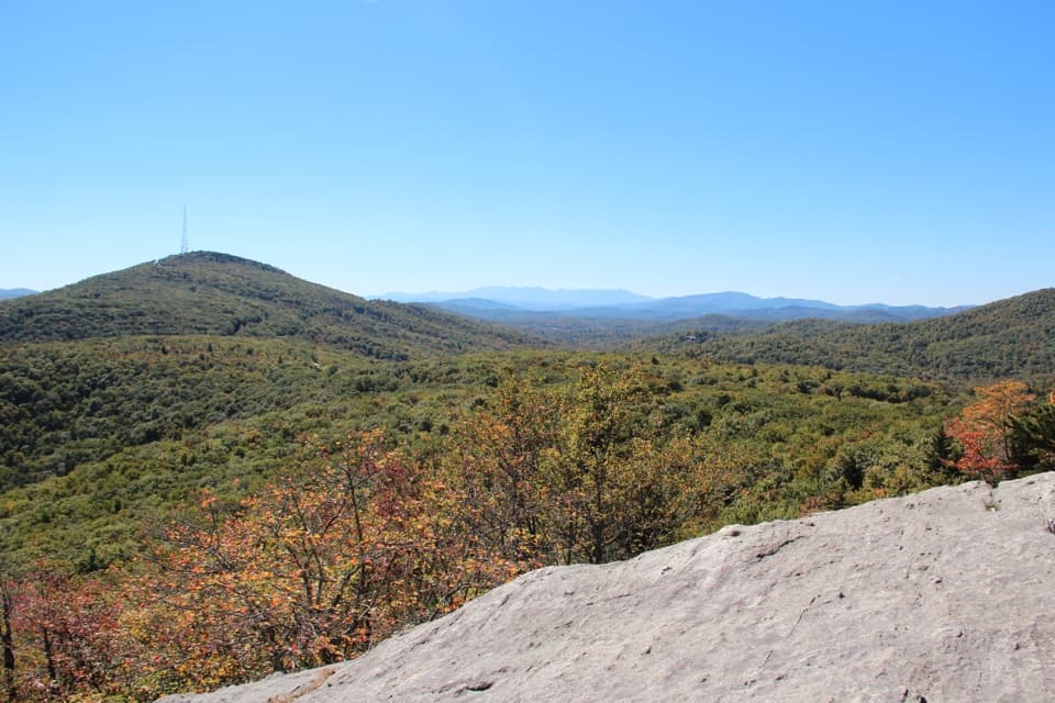
Beacon Heights: Two Views from the Rocks
0:00 / 0:26
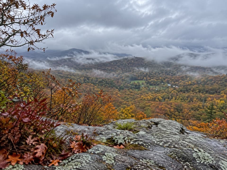
“Beacon Heights is coming up, a short forest climb to two pale rock ledges with wide mountain views. Allow thirty to sixty minutes for the six-tenths-of-a-mile round trip, with rough roots, rocks, and some steep pitches.”

Plays on the road 0.9 mi from Grandfather Mountain Nature Park in the Parkwolf Blue Ridge Parkway Tour Guide.

More stories near here in the app

  • Grandfather Mountain Overlook: Ridge and Valley
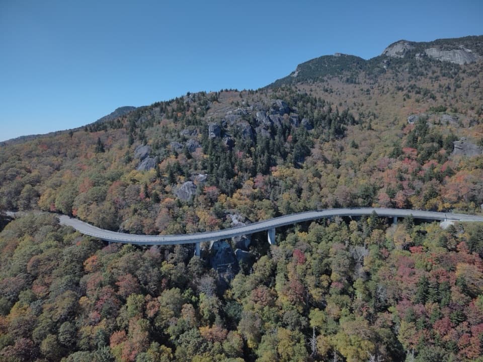
  • Linn Cove Viaduct: Built Around the Mountain
  • Flat Rock: Follow the Arrows to the View
  • Rough Ridge: The Boardwalk or the Upper Rocks
  • 298 audio storiesacross Blue Ridge Parkway’s roads, triggered by GPS as you drive
  • Wildlife heatmapsfor Black Bear, Elk, White-tailed Deer, and 13 more
  • Works offlinemaps, 145 trails, 251 places, and audio download before you lose signal
  • CarPlay readysimple controls built for the drive
★★★★★
“…We knew we wanted to drive the Blue Ridge Parkway. The narration was impeccably timed. The facts and info provided were meaningful. Without it, the trip would not have been near as awesome.”
Ashl GApp Store review
Download Parkwolf on the App StoreGet Parkwolf on Google Play

4.7 from 8,600+ ratings

Guide

More about Grandfather Mountain Nature Park

A summit visit above the ParkwayGrandfather Mountain Nature Park is a ticketed, drive-up mountain attraction near Linville,…

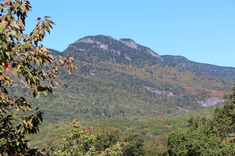
Grandfather Mountain Nature Park is a ticketed, drive-up mountain attraction near Linville, North Carolina. Its entrance on US 221 is one mile south of Blue Ridge Parkway milepost 305. Visitors come for the high ridges, the Mile High Swinging Bridge, natural-history exhibits and wildlife habitats. This is separate from both the state park's backcountry and the Parkway's free Grandfather Mountain View, which is a quick roadside look at the mountain. Choose the attraction when you want to climb the summit road and spend time on top.

Take the slow way upVisitors drive their own vehicles up a winding, paved road that climbs about 1,000 feet in…

Visitors drive their own vehicles up a winding, paved road that climbs about 1,000 feet in roughly two miles. There are pullouts and short walks along the climb, so the road is part of the visit; plan a few stops instead of driving straight to the bridge. The entrance uses timed reservations, which the operator recommends booking ahead. Vehicles longer than 28 feet and hinged vehicles aren't allowed through the gate, and the steep curves make low gear useful on the descent.

Cross the Mile High Swinging BridgeThe 228-foot suspension bridge crosses an 80-foot chasm to Linville Peak at 5,305 feet.

The 228-foot suspension bridge crosses an 80-foot chasm to Linville Peak at 5,305 feet. From the summit parking area, the approach is either about 50 steps or an elevator followed by a short, level paved path. The bridge and ridge are exposed: the summit is often 10 to 20 degrees cooler than lower elevations, and high wind, lightning or ice can close the crossing. Check conditions before making the summit the point of your day.

Add an indoor stop or a picnicThe Wilson Center for Nature Discovery has natural-history exhibits and Mildred's Grill.

The Wilson Center for Nature Discovery has natural-history exhibits and Mildred's Grill. The Top Shop near the bridge has snacks, and Woods Walk has picnic tables and restrooms; there are also restrooms at the summit. Wildlife habitats along the drive bring visitors close to black bears, river otters, elk, cougars and eagles. That mix makes the attraction a fuller stop for families and non-hikers than a bridge crossing alone.

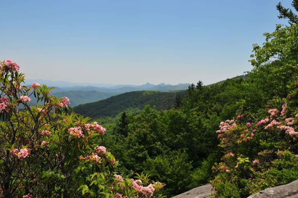
Frame the ridge at Half MoonHalf Moon Overlook, early in the drive, is the easy photo stop for the Linville and Morton…

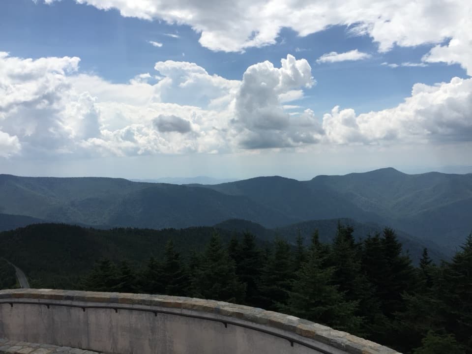
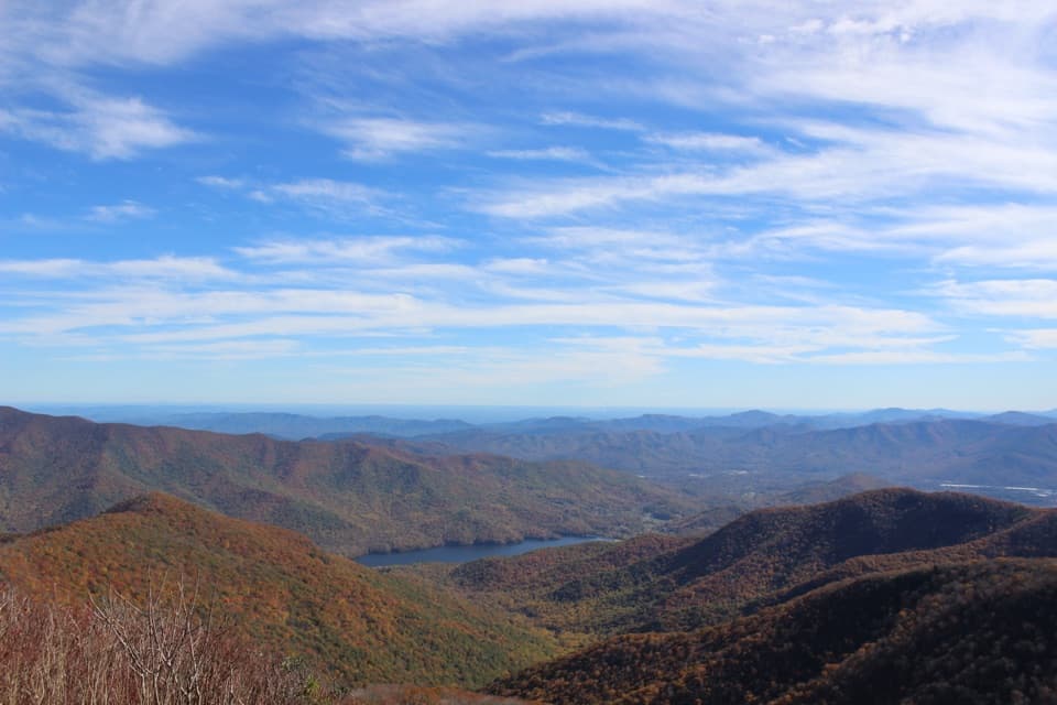
Half Moon Overlook, early in the drive, is the easy photo stop for the Linville and Morton peaks. Native azaleas and rhododendrons ring the view and bloom in May and June, giving you a natural foreground without a hike. On the summit, the bare rock ledges and the bridge over the chasm give the mountain a more rugged frame than a straight shot across the valley.

The mountain's name and deep timeThe west-facing cliff profile reminded European settlers of an old man's face, which is one…

The west-facing cliff profile reminded European settlers of an old man's face, which is one explanation for the mountain's name. The Cherokee name Tanawha is translated as “a fabulous hawk or eagle.” The rocks began forming about 1.1 billion years ago; later mountain-building around 300 million years ago and more than 100 million years of erosion shaped the ridges visitors see now.

A road built to reach the summitFrench botanist André Michaux climbed Grandfather in 1794 and mistakenly thought he had reached…

French botanist André Michaux climbed Grandfather in 1794 and mistakenly thought he had reached North America's highest summit. The modern attraction took shape much later: Hugh MacRae Morton extended the road to the top and built the bridge in 1952. The bridge was rebuilt in 1999, keeping its original towers while replacing its cables, deck and rails.

Wildlife

Wildlife in Blue Ridge Parkway

All Blue Ridge Parkway wildlife maps

Sighting maps show where each species has been reported across Blue Ridge Parkway. Wildlife moves, so no sighting is guaranteed.

Keep exploring

Near Grandfather Mountain Nature Park

See it all on the map

Trails nearby

More stops nearby

Parkwolf’s Blue Ridge Parkway ranking

Top sights in Blue Ridge Parkway

All 251 places
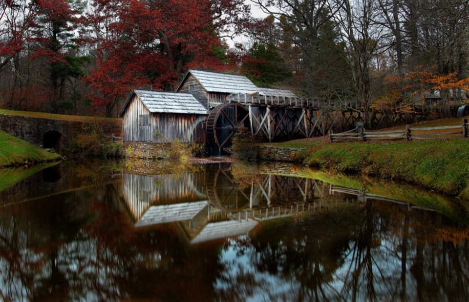
  1. 1Mabry MillSight
  2. 2Linn Cove ViaductSight
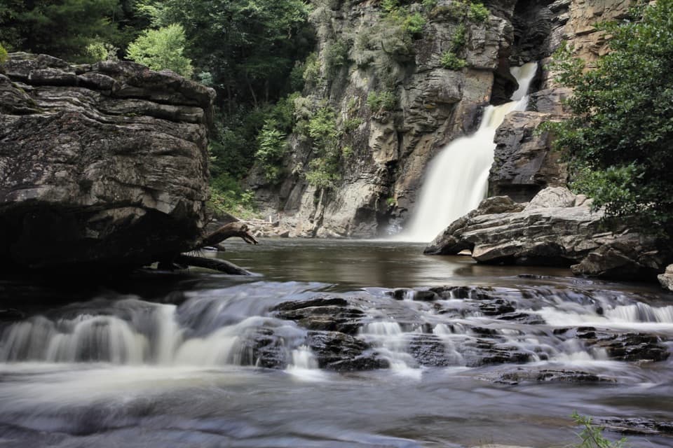
  3. 3Linville FallsSight
  4. 4Moses H. Cone Memorial Park and Flat Top ManorSight
  5. 5Mount Mitchell SummitSight
  6. 6Craggy PinnacleSight

Take Parkwolf to Blue Ridge Parkway.

The audio tour guide for the drive, plus offline maps, trails, and wildlife heatmaps for when the signal drops.

4.7 from 8,600+ ratings

Download Parkwolf on the App StoreGet Parkwolf on Google Play