Parking
Park at the signed Flat Rock Overlook (MP 308.3) on the Blue Ridge Parkway; the large paved lot is directly at the trailhead.

Blue Ridge Parkway, NC · VA
Short loop to a broad rock summit with big Grandfather views
Overview
If you want classic Blue Ridge views without an all-day effort, this is the move. From the signed Flat Rock Overlook at Milepost 308.3, a short self-guiding loop climbs gently through shady woods to a broad, smooth rock slab with sweeping looks over Linville Valley and straight at Grandfather Mountain. It’s family-friendly, quick, and usually calmer than the Parkway’s marquee stops—especially early or late in the day.
 Parkwolf’s verdictWhy go
Map & elevation
Plan your hike

The highest, rockiest slopes around here are a summer buffet for grizzly bears.
Blue Ridge Parkway Tour Guide
Parkwolf is a GPS audio tour guide for Blue Ridge Parkway. As you drive, it chimes in with what’s ahead: hidden gems, upcoming stops, history, geology, and wildlife, right through your car’s speakers.
See the Blue Ridge Parkway audio tourRecorded for this trailhead
Flat Rock: Big Views, Short Walk“Up ahead is the pullout for Flat Rock. This is a really good stop if you want a fantastic view without a strenuous hike.”
Plays as you drive up to this trailhead in the Parkwolf Blue Ridge Parkway Tour Guide.
More stories near here in the app
“…We knew we wanted to drive the Blue Ridge Parkway. The narration was impeccably timed. The facts and info provided were meaningful. Without it, the trip would not have been near as awesome.”


Trail guide
The 0.6-mile official listing (about 0.7 miles for the full walked loop) starts at the Flat Rock parking area and follows a natural-surface path through forest to the namesake flat rock. Interpretive signs explain local geology and trees before the trail opens onto the broad, picnic-friendly outcrop. Plan about 20–30 minutes for the loop, plus extra linger time on the rock.
Underfoot it’s mostly smooth dirt with occasional roots and small rocks, with a steady but mild uphill to the summit area. The marked loop is well signed and easy to follow. Footing on the exposed stone can be slick after rain, so tread carefully; the natural surface and rock slab are not wheelchair or stroller accessible.
Use the large paved parking area at the signed Flat Rock Overlook on the Parkway. Bring sturdy shoes for roots and slick rock, and give yourself time to linger at the summit.
If you’re stacking stops, this sits roughly between Linville Falls and the Linn Cove Viaduct. Want a longer leg-stretcher with boardwalk drama? Rough Ridge near the Viaduct is a great companion hike; prefer waterfalls and gorge views? Linville Falls is a classic. This loop is the quick, low-effort, high-reward option.
Wildlife
 1,208 sightingsBlack BearMost seen around 7 AMSighting map
 1,020 sightingsElkMost seen around 7 AMSighting map
 2,257 sightingsWhite-tailed DeerMost seen around 6 PMSighting map
 200 sightingsCoyoteMost seen around 6 PMSighting map
 1,126 sightingsWild TurkeyMost seen around 7 AMSighting map
 255 sightingsRed-tailed HawkMost seen around 11 AMSighting map
Sighting maps show where each species has been reported across Blue Ridge Parkway. Wildlife moves, so no sighting is guaranteed.
Keep exploring
 ChallengingTanawha Trail13.5 mi · 6.5 hr · 2.7 mi awayGrandfather’s marquee traverse of views, boardwalks, and the Viaduct
 EasyBeacon Heights Trail0.8 mi · 30 min · 2.8 mi awayShort, rocky climb to twin quartzite slabs with huge views
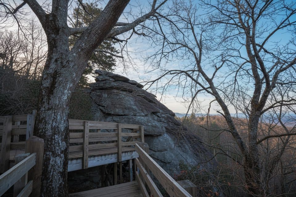 EasyStack Rock Trail0.5 mi · 30 min · 3.3 mi awayTiny detour to a quirky rock tower in a rhodo-laced forest
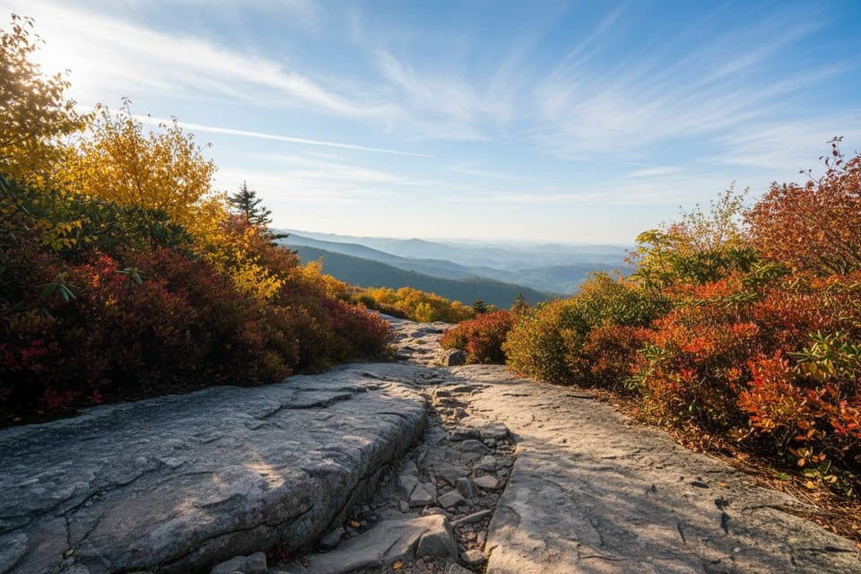 EasyLinn Cove Viaduct Access Trail0.2 mi · 15 min · 3.6 mi awayEasy paved walk to the viaduct's best up-close viewpoint.
 ModerateRough Ridge Trail1.2 mi · 1 hr · 4.5 mi awayA short, rocky Tanawha Trail climb to boardwalks, cables, and sweeping Blue Ridge views
 ChallengingProfile Trail (Grandfather Mountain)7.2 mi · 4 hr · 4.9 mi awaySteep, rewarding climb from NC 105 to Grandfather’s ridgeline.
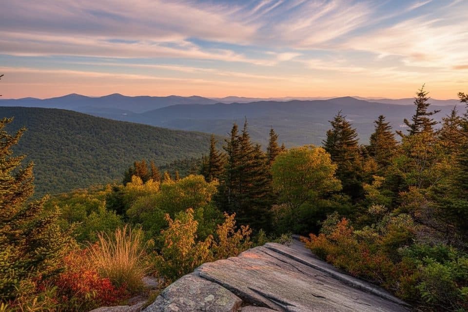 EasyNuwati Trail3 mi · 2 hr · 6.4 mi awayRocky, gentle-grade stroll to Storyteller’s Rock and Boone Bowl views
 ChallengingDaniel Boone Scout Trail7.2 mi · 5 hr · 6.4 mi awayRugged climb to Calloway Peak with ladders, cables, and big views
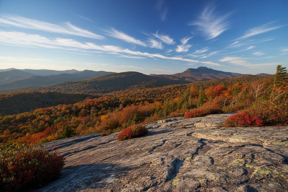 Scenic pullout · At the trailheadFlat Rock OverlookQuick loop to a broad rock with big Grandfather Mountain views
 Scenic pullout · 1.5 mi awayView Grandfather MountainClassic pullout framing Grandfather Mountain’s rugged profile
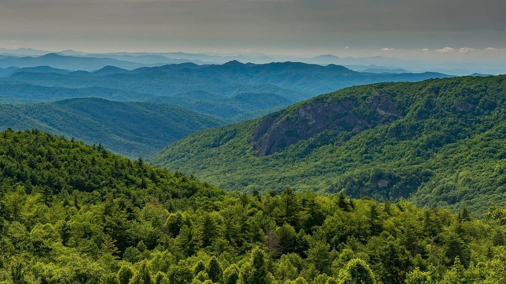 Scenic pullout · 1.7 mi awayLost Cove Cliffs Overlook (MP 310)Easy pull-off with sweeping cliffs and a shot at Brown Mountain Lights
 Sight · 2.7 mi awayBeacon Heights OverlookPanoramic rock slabs via a quick, easy walk
 Sight · 3.4 mi awayMile High Swinging BridgeA swaying mile-high footbridge with knockout Grandfather Mountain views
 Sight · 3.4 mi awayStack RockQuirky rock pillar reached by a very short forest walk
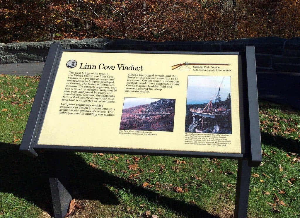 Visitor center · 3.6 mi awayLinn Cove Viaduct Visitor CenterTrailhead for up-close views of the iconic Linn Cove Viaduct
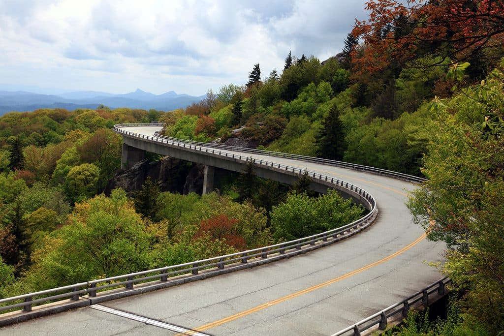 Sight · 4 mi awayLinn Cove Viaduct OverlookUp-close, under-bridge view of the Parkway's iconic curving viaduct
Parkwolf’s Blue Ridge Parkway ranking
The audio tour guide for the drive, plus offline maps, trails, and wildlife heatmaps for when the signal drops.



