Best time to visit
- Early morning on weekdays for easy parking and gentler light.
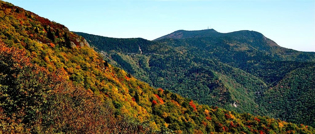
- Late afternoon in autumn for warm, raking light on the ridges.
- Summer is lovely for cool temperatures; winter access is hit-or-miss due to closures.
Scenic pullout · Blue Ridge Parkway
Parkway’s highest pullout with cool air and big views
Overview
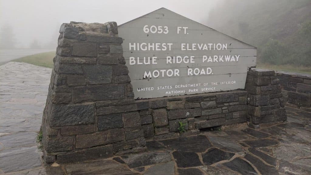
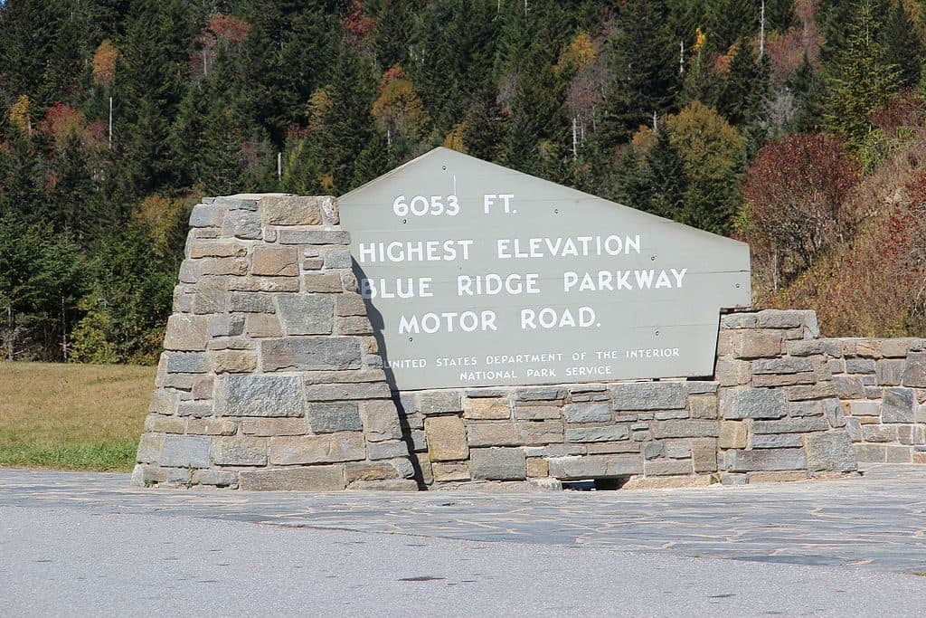
This is the Parkway’s literal high point: 6,053 feet above sea level at MP 431.4. You pull off for big mountain views, cooler air, and the bragging-rights photo with the “Highest Point” sign. It’s a classic stop that feels different the moment you open the car door.
You’re surrounded by a high-elevation spruce–fir forest that smells like a Christmas tree lot—rare this far south. Clear days bring long looks across the Great Balsam and neighboring ranges; in summer, it’s refreshingly cool, and in fall, the ridgelines stack up with color.
 Parkwolf’s verdictWhat Makes It Special
Map
Local know-how
For the summit loop, park at Haywood–Jackson Overlook nearby.
Bring layers—temps and winds are cooler at 6,000+ feet.
Check real‑time Parkway closures before you go, especially in winter.
Arrive early or on weekdays to dodge the photo-op crowds.
Carry your own water and snacks—there are no services here.
Plan your stop

The highest, rockiest slopes around here are a summer buffet for grizzly bears.
Blue Ridge Parkway Tour Guide
Parkwolf is a GPS audio tour guide for Blue Ridge Parkway. As you drive, it chimes in with what’s ahead: hidden gems, upcoming stops, history, geology, and wildlife, right through your car’s speakers.
See the Blue Ridge Parkway audio tourRecorded for this place
Richland Balsam - The Parkway's High Point“You're now climbing to the Richland Balsam Overlook, which, at 6,053 feet, is the highest point along the entire motor road.”
Plays as you drive up to Richland Balsam Overlook - Highest Point on the Parkway (MP 431.4) in the Parkwolf Blue Ridge Parkway Tour Guide.
More stories near here in the app
“…We knew we wanted to drive the Blue Ridge Parkway. The narration was impeccably timed. The facts and info provided were meaningful. Without it, the trip would not have been near as awesome.”


Guide
Want the actual summit of Richland Balsam (6,410 ft)? Park at the nearby Haywood–Jackson Overlook and take the 1.5-mile self‑guided loop through the spruce–fir to the top. It’s a moderate climb and a beautiful forest walk.
This high, conifer-draped ridge is good for montane songbirds and small mammals. You may notice standing dead firs—evidence of the balsam woolly adelgid’s impact—alongside healthy spruce and fir regrowth.
There are no facilities here—no bathrooms, no water—so come prepared. The Parkway can close for ice and snow in winter (and shoulder seasons), and clouds can roll in fast, sometimes erasing the view altogether.
Wildlife
 1,208 sightingsBlack BearMost seen around 7 AMSighting map
 1,020 sightingsElkMost seen around 7 AMSighting map
 2,257 sightingsWhite-tailed DeerMost seen around 6 PMSighting map
 200 sightingsCoyoteMost seen around 6 PMSighting map
 1,126 sightingsWild TurkeyMost seen around 7 AMSighting map
 255 sightingsRed-tailed HawkMost seen around 11 AMSighting map
Sighting maps show where each species has been reported across Blue Ridge Parkway. Wildlife moves, so no sighting is guaranteed.
Keep exploring
 Scenic pullout · 0.4 mi awayHaywood Jackson OverlookHigh-elevation overlook and trailhead with great sunrise views
 Scenic pullout · 0.6 mi awayCowee Mountains OverlookPanoramic, 180° Blue Ridge layers from a high, southeast-facing pullout
 Scenic pullout · 0.8 mi awayBeartrail Ridge Overlook (MP 430.4)Quiet, high-elevation pullout with sweeping Balsam Mountain vistas
 Scenic pullout · 1.7 mi awayRoy Taylor Forest Overlook (MP 433.3)Short walk to a deck with a quiet, tree‑framed mountain view
 Scenic pullout · 2.4 mi awayBeartrap Gap Overlook (MP 428.5)Quiet pullout with moody, close-in ridge views and frequent fog
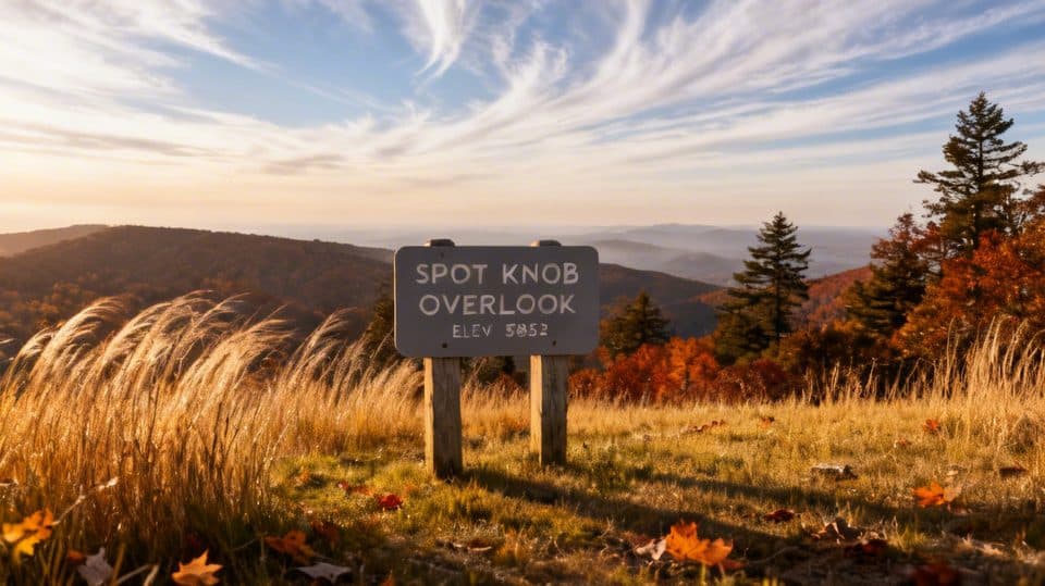 Sight · 3.1 mi awaySpot Knob (MP 427.8)Low-key roadside viewpoint, better with fall color
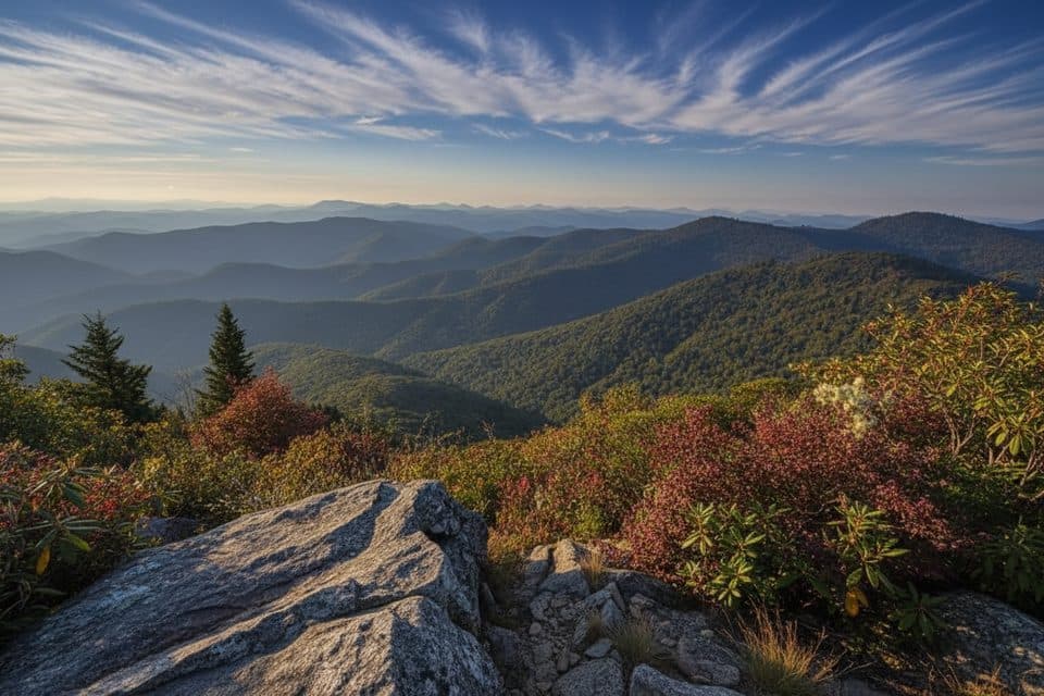 Scenic pullout · 3.8 mi awayLicklog Gap Overlook (MP 435.7)Quiet Parkway overlook with sunrise views and a lone picnic table
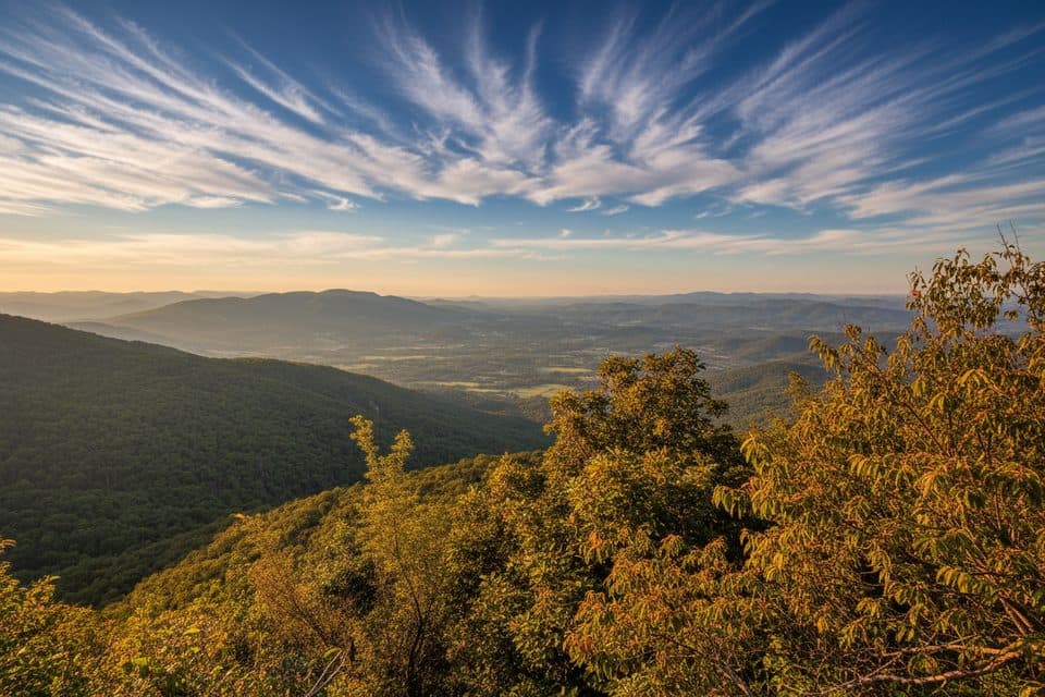 Scenic pullout · 4.4 mi awayGrassy Ridge Mine Overlook (MP 436.8)Quiet mountain panorama with a picnic table and sunset vibes
Parkwolf’s Blue Ridge Parkway ranking
The audio tour guide for the drive, plus offline maps, trails, and wildlife heatmaps for when the signal drops.