Parking
Park at the Haywood–Jackson Overlook near Milepost 431 on the Blue Ridge Parkway. The lollipop loop begins from this lot; the Richland Balsam Overlook with big views is a short drive away.
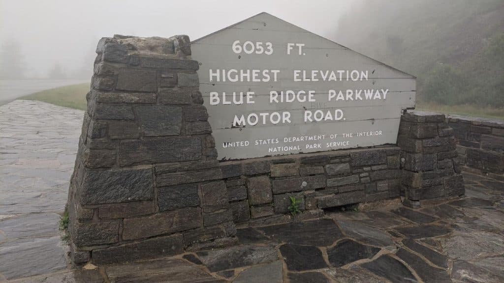
Blue Ridge Parkway, NC · VA
Short spruce-fir lollipop loop to the Parkway’s highest summit
Overview
This 1.47-mile lollipop loop climbs through a cool, mossy spruce–fir forest to the 6,410-foot summit of Richland Balsam—the highest peak on the Blue Ridge Parkway. It’s more about atmosphere than vistas: think fragrant evergreens, soft forest duff, and that rare “Canadian” high-elevation vibe in North Carolina. If you want a big view, pair the hike with the nearby Richland Balsam Overlook along the road; the summit itself is wooded.
 Parkwolf’s verdictWhy hike it
Map & elevation
Plan your hike

The highest, rockiest slopes around here are a summer buffet for grizzly bears.
Blue Ridge Parkway Tour Guide
Parkwolf is a GPS audio tour guide for Blue Ridge Parkway. As you drive, it chimes in with what’s ahead: hidden gems, upcoming stops, history, geology, and wildlife, right through your car’s speakers.
See the Blue Ridge Parkway audio tourRecorded for this trailhead
Haywood-Jackson Overlook and Parkway's Highest Peak“The overlook coming up is Haywood-Jackson, which sits right on the county line. While the view is great, the main event is the Richland Balsam Nature Trail. This 1.”
Plays as you drive up to this trailhead in the Parkwolf Blue Ridge Parkway Tour Guide.
More stories near here in the app
“…We knew we wanted to drive the Blue Ridge Parkway. The narration was impeccably timed. The facts and info provided were meaningful. Without it, the trip would not have been near as awesome.”


Trail guide
Start from the Haywood–Jackson Overlook near Milepost 431. The self-guided nature trail follows a short shared access stem to a signed loop, then returns along that stem to the overlook. Numbered posts and interpretive signs mark the route. Expect a well-worn natural surface with roots, rocks, and a few big steps; benches pop up along the way for breathers. Most of the route is shaded, with occasional peeks through the trees. Hike clockwise if you want a gentler warm-up before the final push to the high point. The total visitor route is 1.47 miles, including the return along the shared access stem.
You’ll gain roughly 700 feet overall on rolling terrain. The altitude and steady grade make this a moderate hike even though it’s short. After rain, roots and rocks turn slick, and summer growth can encroach on the path in a few spots—watch your footing.
You’re walking one of the Parkway’s signature high-elevation ecosystems: red spruce and Fraser fir, lush mosses, and ferns. You may notice patches of dead “ghost trees”—long-term effects of the balsam woolly adelgid on mature firs—alongside healthy younger growth and resilient red spruce. The air up here often runs much cooler than the valleys, which is a gift on hot summer days.
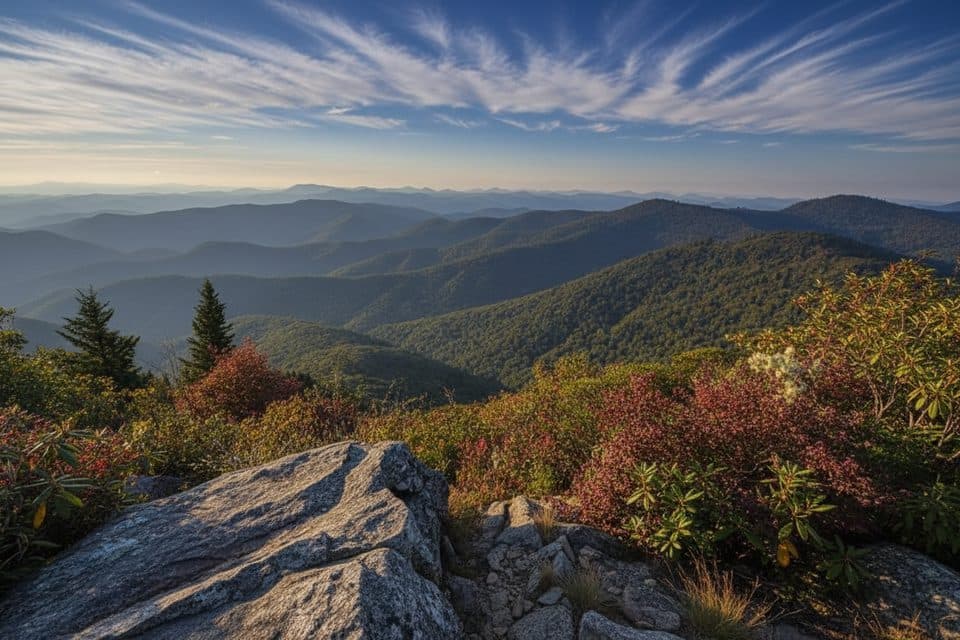
On the lollipop loop: forest immersion, subtle windows through the canopy, and a signed summit in the trees. For sweeping mountain panoramas, use the roadside Richland Balsam Overlook (the Parkway’s highest point along the motor road at 6,053 feet) before or after your hike.
Wildlife
 1,208 sightingsBlack BearMost seen around 7 AMSighting map
 1,020 sightingsElkMost seen around 7 AMSighting map
 2,257 sightingsWhite-tailed DeerMost seen around 6 PMSighting map
 200 sightingsCoyoteMost seen around 6 PMSighting map
 1,126 sightingsWild TurkeyMost seen around 7 AMSighting map
 255 sightingsRed-tailed HawkMost seen around 11 AMSighting map
Sighting maps show where each species has been reported across Blue Ridge Parkway. Wildlife moves, so no sighting is guaranteed.
Keep exploring
 ModerateFlat Laurel Creek Trail3.7 mi · 3.5 hr · 5.7 mi awayA creekside route from NC 215 to Black Balsam’s high country
 ModerateDevil's Courthouse Trail1 mi · 1 hr · 6.2 mi awayA steep, mostly paved climb from the Parkway to a four-state panorama.
 ModerateSam Knob Trail2.5 mi · 1.3 hr · 6.4 mi awayA short climb to a high bald with wide Blue Ridge views.
 ModerateBlack Balsam Knob via Art Loeb1.6 mi · 1 hr · 6.8 mi awayShort out-and-back climb to a 6,214-foot bald with sweeping 360-degree views
 ModerateTennent Mountain Loop5 mi · 2.5 hr · 6.8 mi awayTwo open balds, big views, and a rocky five-mile loop
 ModerateUpper Falls Trail3.2 mi · 2.5 hr · 8.3 mi awayShort, berry-lined stroll to a photogenic two-tiered waterfall.
 EasySecond Falls Trail0.7 mi · 45 min · 8.3 mi awayShort, stair-stepped walk to a photogenic waterfall and pool
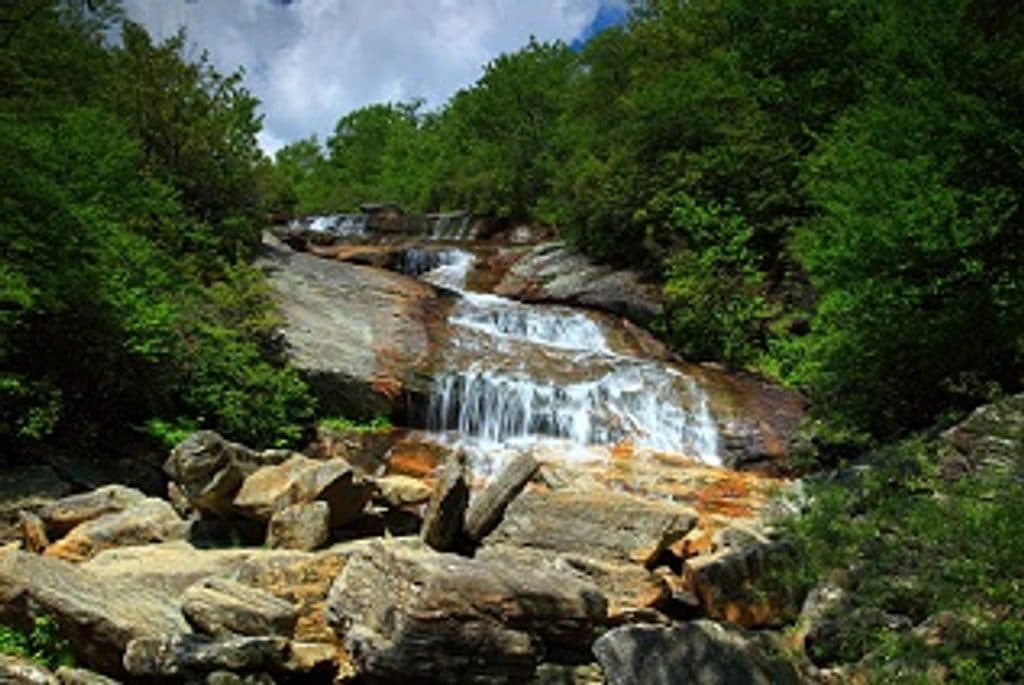 ModerateGraveyard Fields Loop Trail3.2 mi · 2.5 hr · 8.3 mi awayTwo waterfalls and open meadows on a high-elevation loop
 Scenic pullout · At the trailheadHaywood Jackson OverlookHigh-elevation overlook and trailhead with great sunrise views
 Scenic pullout · 0.3 mi awayCowee Mountains OverlookPanoramic, 180° Blue Ridge layers from a high, southeast-facing pullout
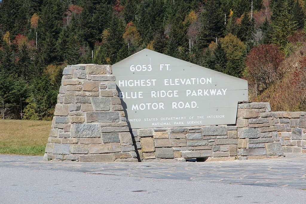 Scenic pullout · 0.4 mi awayRichland Balsam Overlook - Highest Point on the Parkway (MP 431.4)Parkway’s highest pullout with cool air and big views
 Scenic pullout · 0.4 mi awayBeartrail Ridge Overlook (MP 430.4)Quiet, high-elevation pullout with sweeping Balsam Mountain vistas
 Scenic pullout · 2 mi awayBeartrap Gap Overlook (MP 428.5)Quiet pullout with moody, close-in ridge views and frequent fog
 Scenic pullout · 2.1 mi awayRoy Taylor Forest Overlook (MP 433.3)Short walk to a deck with a quiet, tree‑framed mountain view
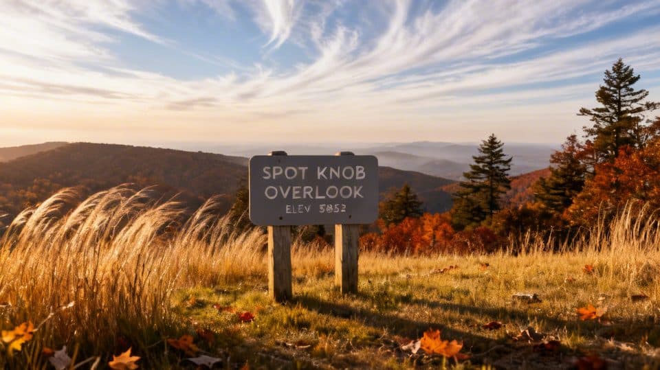 Sight · 2.7 mi awaySpot Knob (MP 427.8)Low-key roadside viewpoint, better with fall color
 Scenic pullout · 4.1 mi awayLicklog Gap Overlook (MP 435.7)Quiet Parkway overlook with sunrise views and a lone picnic table
Parkwolf’s Blue Ridge Parkway ranking
The audio tour guide for the drive, plus offline maps, trails, and wildlife heatmaps for when the signal drops.




