Best time to visit
- Sunrise for moody, east-facing light and thinner crowds.
- Fall afternoons for peak color and warm side-lighting.
- Late spring through fall for open roads; winter access can be limited by snow/ice closures.

Scenic pullout · Blue Ridge Parkway
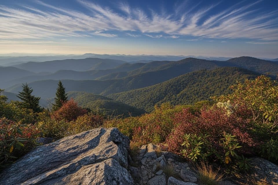
High-elevation overlook and trailhead with great sunrise views
Overview
Perched at Milepost 431 at 6,020 feet, Haywood-Jackson Overlook straddles the county line between (you guessed it) Haywood and Jackson counties. It’s a classic Blue Ridge Parkway pullout with a payoff: sweeping high-elevation views and immediate access to the Richland Balsam Nature Trail, which loops through rare spruce–fir forest to the highest peak on the Parkway corridor.
Map
Local know-how
Use Milepost 431 to spot the turn; it’s just south of Cowee Overlook.
For an easier climb on the Richland Balsam loop, start by turning right.
Bring a warm layer and a rain shell—weather flips fast at 6,000 feet.
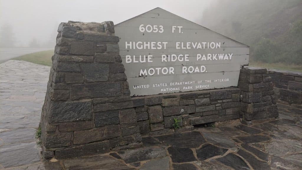
Expect fog; if it’s socked in, give it 15–30 minutes to clear.
Snag the picnic table early on weekends if you plan to linger.
Plan your stop

The highest, rockiest slopes around here are a summer buffet for grizzly bears.
Blue Ridge Parkway Tour Guide
Parkwolf is a GPS audio tour guide for Blue Ridge Parkway. As you drive, it chimes in with what’s ahead: hidden gems, upcoming stops, history, geology, and wildlife, right through your car’s speakers.
See the Blue Ridge Parkway audio tourRecorded for this place
Haywood-Jackson Overlook and Parkway's Highest Peak“The overlook coming up is Haywood-Jackson, which sits right on the county line. While the view is great, the main event is the Richland Balsam Nature Trail. This 1.”
Plays as you drive up to Haywood Jackson Overlook in the Parkwolf Blue Ridge Parkway Tour Guide.
More stories near here in the app
“…We knew we wanted to drive the Blue Ridge Parkway. The narration was impeccably timed. The facts and info provided were meaningful. Without it, the trip would not have been near as awesome.”


Guide
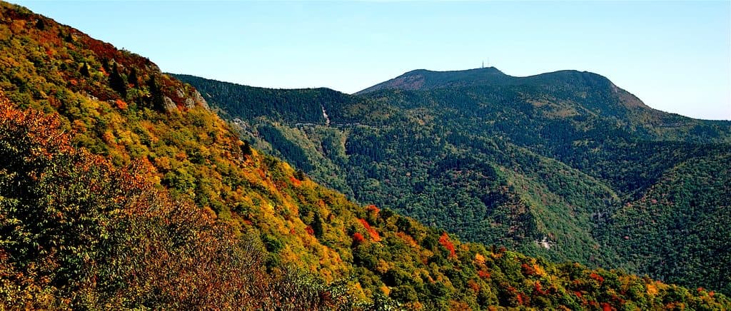
Expect long-range vistas across the Great Balsam Mountains. Clear mornings can reveal Cold Mountain and the Shining Rock Wilderness, and the east-facing angle lights up beautifully at sunrise. In autumn, the ridges pop with color, especially in afternoon light.
From the far end of the parking area, a 1.5-mile self-guided loop ducks into a cool, mossy spruce–fir forest—often described as a little slice of “Canadian zone” in the South. It’s short, fragrant, and rewarding, with interpretive signs and a route that climbs toward the Parkway’s high point near Richland Balsam (6,410 feet).
This high-elevation habitat is great for songbirds and occasional raptors overhead. Deer and small mammals are around, but the real star is the spruce–fir ecosystem itself—rare in the Southern Appalachians and a refreshing contrast to lower-elevation hardwoods.
High elevation means cooler temps—pack a layer even in summer. Weather shifts fast; carry a shell and expect mist or fog to roll in.
Wildlife
 1,208 sightingsBlack BearMost seen around 7 AMSighting map
 1,020 sightingsElkMost seen around 7 AMSighting map
 2,257 sightingsWhite-tailed DeerMost seen around 6 PMSighting map
 200 sightingsCoyoteMost seen around 6 PMSighting map
 1,126 sightingsWild TurkeyMost seen around 7 AMSighting map
 255 sightingsRed-tailed HawkMost seen around 11 AMSighting map
Sighting maps show where each species has been reported across Blue Ridge Parkway. Wildlife moves, so no sighting is guaranteed.
Keep exploring
 Scenic pullout · 0.3 mi awayCowee Mountains OverlookPanoramic, 180° Blue Ridge layers from a high, southeast-facing pullout
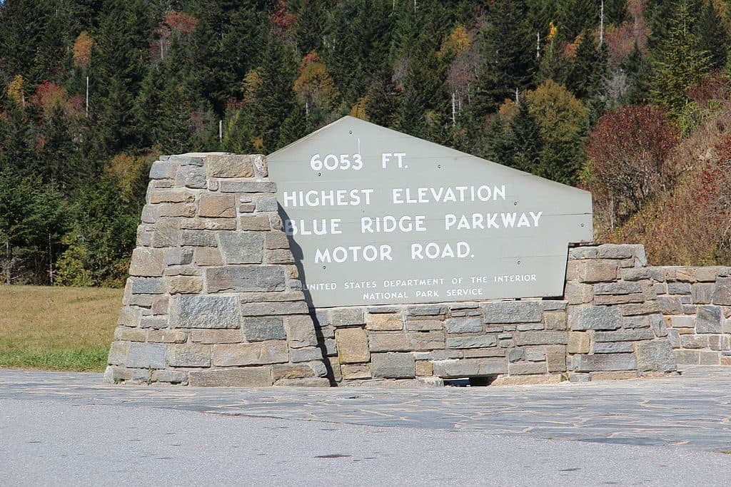 Scenic pullout · 0.4 mi awayRichland Balsam Overlook - Highest Point on the Parkway (MP 431.4)Parkway’s highest pullout with cool air and big views
 Scenic pullout · 0.4 mi awayBeartrail Ridge Overlook (MP 430.4)Quiet, high-elevation pullout with sweeping Balsam Mountain vistas
 Scenic pullout · 2 mi awayBeartrap Gap Overlook (MP 428.5)Quiet pullout with moody, close-in ridge views and frequent fog
 Scenic pullout · 2.1 mi awayRoy Taylor Forest Overlook (MP 433.3)Short walk to a deck with a quiet, tree‑framed mountain view
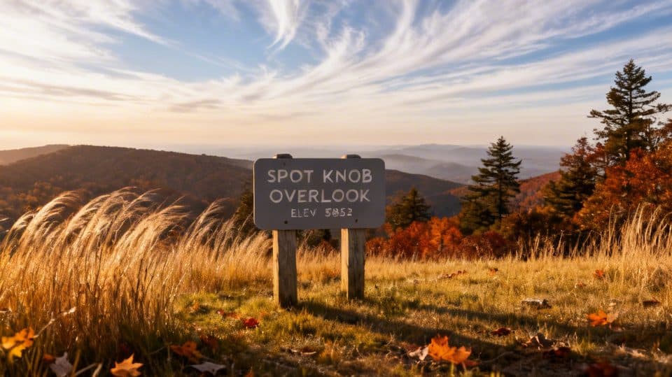 Sight · 2.7 mi awaySpot Knob (MP 427.8)Low-key roadside viewpoint, better with fall color
 Scenic pullout · 4.1 mi awayLicklog Gap Overlook (MP 435.7)Quiet Parkway overlook with sunrise views and a lone picnic table
 Scenic pullout · 4.6 mi awayRough Butt Bald Overlook (MP 425.4)High-elevation pullout with ridgeline views and a two-hump namesake
Parkwolf’s Blue Ridge Parkway ranking

The audio tour guide for the drive, plus offline maps, trails, and wildlife heatmaps for when the signal drops.