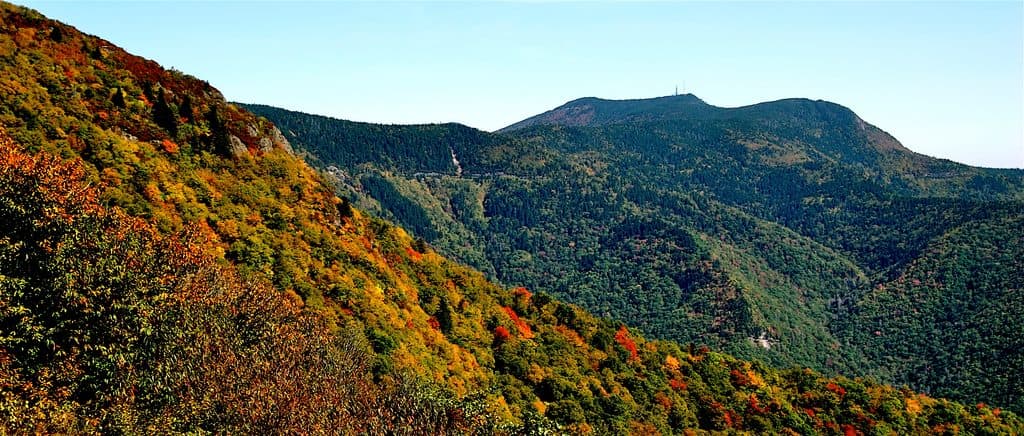
Best time to visit
The overlook faces east, so sunrise is fantastic, and late afternoon light rakes the mountain nicely. Weekdays are your friend if you want an easier parking experience—especially during fall foliage.
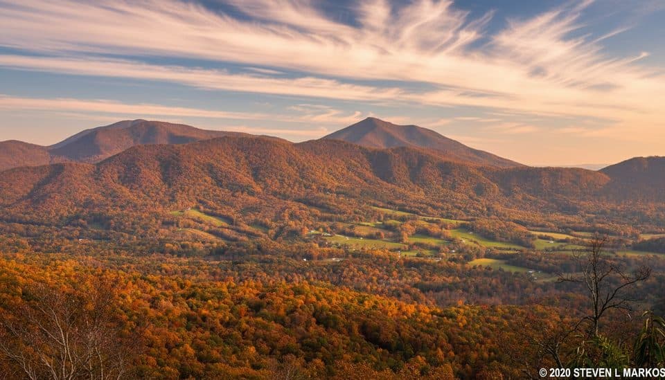
Scenic pullout · Blue Ridge Parkway
Quick pull-off with a crisp view of Sharp Top’s pointed summit
Overview
This is a quick roadside pull-off with a clean, front-and-center look at Sharp Top Mountain—no hike required. Don’t confuse it with the mountain’s summit hike; this stop is strictly a viewpoint and photo break.
Map
Local know-how
Come at sunrise or late afternoon for the best light on the peak.
There are no facilities here—plan restroom and snack stops elsewhere nearby.
Parking is tiny; arrive early on fall weekends to avoid circling.
If clouds cap the summit, skip the peak until it clears.
Plan your stop

The highest, rockiest slopes around here are a summer buffet for grizzly bears.
Blue Ridge Parkway Tour Guide
Parkwolf is a GPS audio tour guide for Blue Ridge Parkway. As you drive, it chimes in with what’s ahead: hidden gems, upcoming stops, history, geology, and wildlife, right through your car’s speakers.
See the Blue Ridge Parkway audio tourRecorded for this place
Sharp Top Overlook: A View and a Weather Check“The pullout you're seeing is for Sharp Top Overlook. This isn't a trailhead, but it gives you a great, head-on view of the mountain's pointy silhouette.”
Plays as you drive up to Sharp Top Overlook in the Parkwolf Blue Ridge Parkway Tour Guide.
More stories near here in the app
“…We knew we wanted to drive the Blue Ridge Parkway. The narration was impeccably timed. The facts and info provided were meaningful. Without it, the trip would not have been near as awesome.”


Guide
Sharp Top’s pointy profile dominates the scene, with pockets of valley and surrounding Blue Ridge ridgelines peeking through. The overlook’s vista is focused more than sweeping—vegetation frames the edges—so it’s about that classic Sharp Top silhouette rather than a 360-degree panorama.
Use the overlook as a quick conditions check: if Sharp Top’s cap is socked in by clouds, summit views won’t deliver. Nearby facilities (lodge, store, campground, picnic areas) are in the broader Peaks of Otter corridor, but not at the overlook itself.
Nothing unique is tied to this pullout, but you might spot hawks riding thermals or hear songbirds in the trees. Deer are common along the Parkway—drive and stop with care.
Wildlife
 1,208 sightingsBlack BearMost seen around 7 AMSighting map
 1,020 sightingsElkMost seen around 7 AMSighting map
 2,257 sightingsWhite-tailed DeerMost seen around 6 PMSighting map
 200 sightingsCoyoteMost seen around 6 PMSighting map
 1,126 sightingsWild TurkeyMost seen around 7 AMSighting map
 255 sightingsRed-tailed HawkMost seen around 11 AMSighting map
Sighting maps show where each species has been reported across Blue Ridge Parkway. Wildlife moves, so no sighting is guaranteed.
Keep exploring
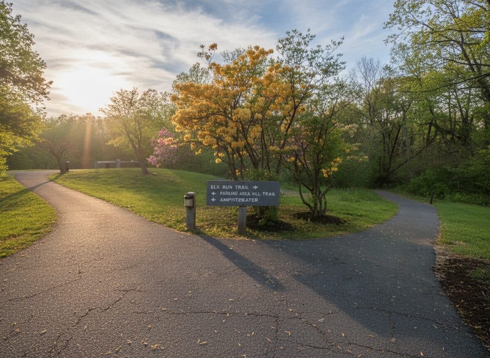 EasyElk Run Trail0.8 mi · 1 hr · 4.9 mi awayShort, self-guided forest loop behind the Peaks of Otter Visitor Center
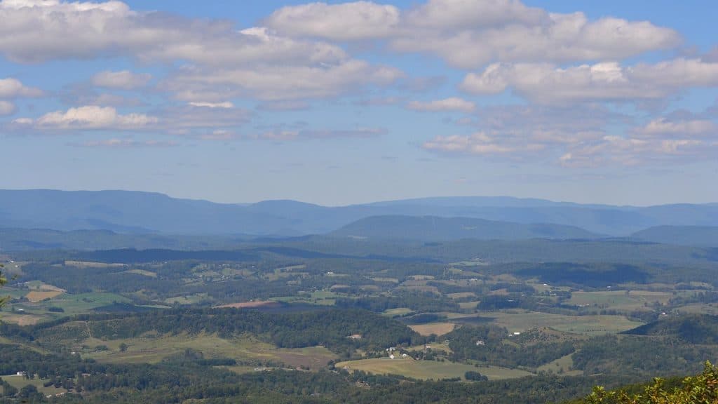 Scenic pullout · 2.8 mi awayHarveys Knob OverlookRidgetop overlook and a famed fall hawk-watching hotspot
 Visitor center · 4.9 mi awayPeaks of Otter Visitor CenterTrail hub with exhibits, lake views, and Sharp Top shuttle
 Sight · 5 mi awayJohnson FarmHistoric mountain farmstead reached by a mellow loop hike
Parkwolf’s Blue Ridge Parkway ranking

The audio tour guide for the drive, plus offline maps, trails, and wildlife heatmaps for when the signal drops.