Parking
Park at the Peaks of Otter Visitor Center lot; follow the signed path behind the building toward the amphitheater, where the Harkening Hill loop begins. National Park Service
Blue Ridge Parkway, NC · VA
Quiet Peaks of Otter loop to Harkening Hill, Balance Rock, and ridge views
Overview
Harkening Hill Loop is a quieter Peaks of Otter summit walk: a 3.3-mile loop through hardwood forest to ridge views, granite boulders, and the Balance Rock spur. The official Blue Ridge Parkway description places the start behind the Peaks of Otter Visitor Center, across from the amphitheater, and notes the rewarding ridge views and the immense balanced boulder near the summit. National Park Service
 Parkwolf’s verdictWhy hike it
Map & elevation
Plan your hike

The highest, rockiest slopes around here are a summer buffet for grizzly bears.
Blue Ridge Parkway Tour Guide
Parkwolf is a GPS audio tour guide for Blue Ridge Parkway. As you drive, it chimes in with what’s ahead: hidden gems, upcoming stops, history, geology, and wildlife, right through your car’s speakers.
See the Blue Ridge Parkway audio tourRecorded for this area
Peaks of Otter Visitor Center and Trail Hub“You're now entering the main hub for the Peaks of Otter, all centered around the visitor center. This is the best spot to get oriented, see some nature exhibits, or grab a map.”
Plays near this trailhead in the Parkwolf Blue Ridge Parkway Tour Guide.
More stories near here in the app
“…We knew we wanted to drive the Blue Ridge Parkway. The narration was impeccably timed. The facts and info provided were meaningful. Without it, the trip would not have been near as awesome.”


Trail guide
The loop climbs steadily through natural forest tread with roots, rocks, and short steeper sections. The mapped visitor route reaches the Harkening Hill ridge and follows the loop back through the Johnson Farm trail junction; it is not the separate Johnson Farm add-on. The route is about 3.3 miles total and typically takes about 2–3 hours with photo stops. Route elevations sampled along the mapped line indicate roughly 800 feet of cumulative gain, while local trail descriptions describe the climb as just under 1,000 feet. Roanoke Outside Go Hike Virginia
Park at the Peaks of Otter Visitor Center lot and follow the signed path behind the building toward the amphitheater; the stored route starts at that signed trail access. Expect uneven, rocky footing and slick rocks after rain. Leashed dogs are permitted on Blue Ridge Parkway trails, with a maximum six-foot leash. No permit or entry fee is required for day hiking here. Johnson Farm is a nearby history-focused add-on, not a change to this loop. CNY Hiking NPS pets NPS fees
Wildlife
 1,208 sightingsBlack BearMost seen around 7 AMSighting map
 1,020 sightingsElkMost seen around 7 AMSighting map
 2,257 sightingsWhite-tailed DeerMost seen around 6 PMSighting map
 200 sightingsCoyoteMost seen around 6 PMSighting map
 1,126 sightingsWild TurkeyMost seen around 7 AMSighting map
 255 sightingsRed-tailed HawkMost seen around 11 AMSighting map
Sighting maps show where each species has been reported across Blue Ridge Parkway. Wildlife moves, so no sighting is guaranteed.
Keep exploring
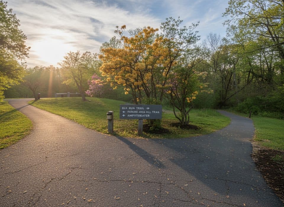 EasyElk Run Trail0.8 mi · 1 hr · At the trailheadShort, self-guided forest loop behind the Peaks of Otter Visitor Center
 ChallengingSharp Top Trail3 mi · 3 hr · 0.2 mi awayStrenuous 3-mile climb to a rocky summit with sweeping 360-degree views
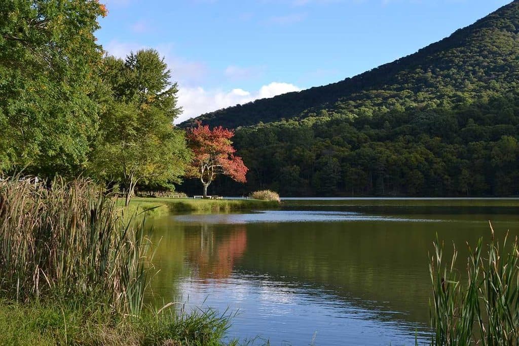 EasyAbbott Lake Loop Trail1 mi · 30 min · 0.3 mi awayPaved one mile lakeside loop with postcard Peaks of Otter views
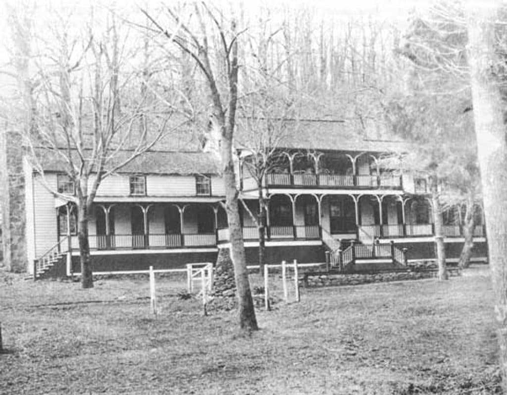 EasyJohnson Farm Loop Trail1.8 mi · 2 hr · 0.4 mi awayEasy loop to the restored 1850s Johnson Farm at Peaks of Otter.
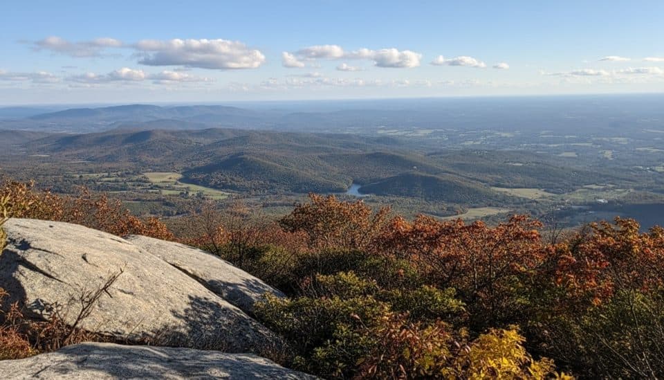 ChallengingFlat Top Trail4.6 mi · 3.5 hr · 2.3 mi awayStrenuous point-to-point traverse over Virginia’s highest Peak of Otter
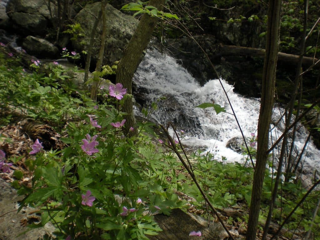 ModerateFallingwater Cascades Loop1.6 mi · 1 hr · 2.5 mi awayModerate 1.6-mile waterfall loop with cascades, rhododendron, and a real climb out.
 ChallengingApple Orchard Falls Trail2.8 mi · 2.5 hr · 6.4 mi awayBlue-blazed descent to a 200-foot waterfall, with a hard climb back
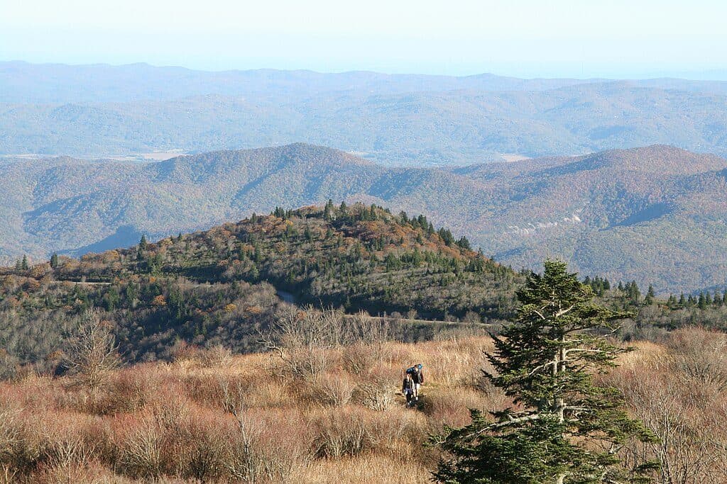 ModerateAppalachian Trail (Parkway corridor)5.2 mi · 3 hr · 9.2 mi awayModerate Appalachian Trail out-and-back from Thunder Ridge to Apple Orchard Mountain
 Visitor center · At the trailheadPeaks of Otter Visitor CenterTrail hub with exhibits, lake views, and Sharp Top shuttle
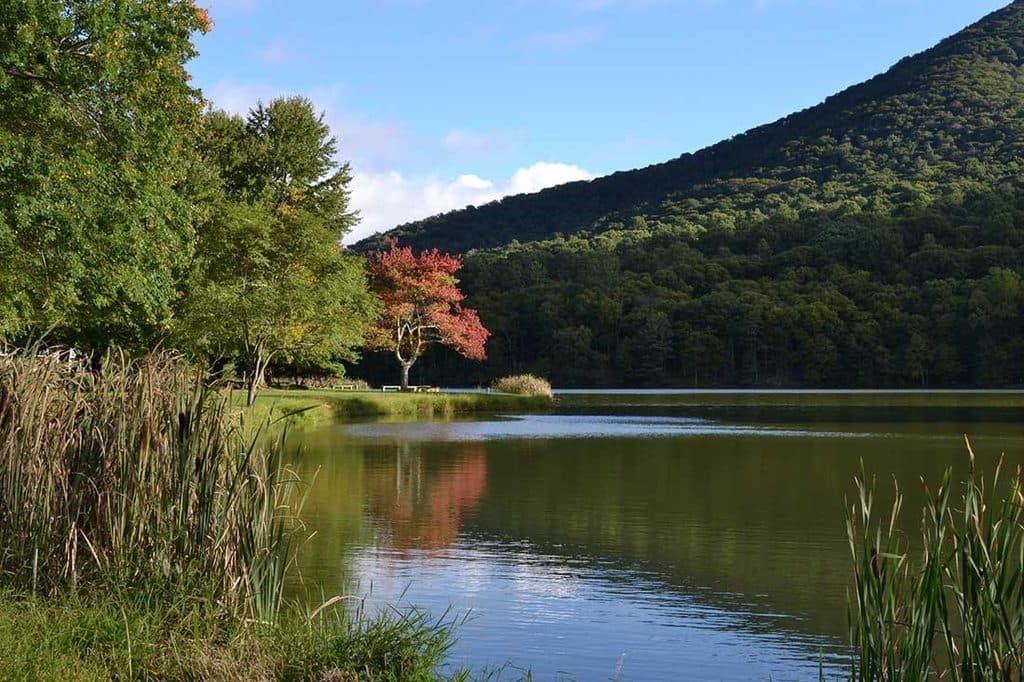 Sight · 0.3 mi awayAbbott LakeMirror-like lake loop with Peaks of Otter views and lodge next door
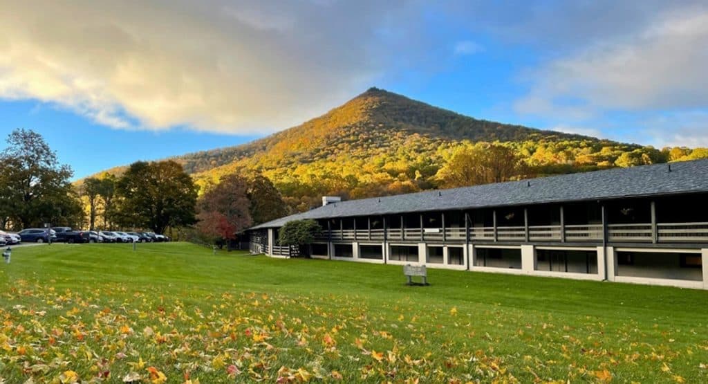 Lodging · 0.3 mi awayPeaks of Otter LodgeClassic Parkway lodge on Abbott Lake with big Sharp Top views
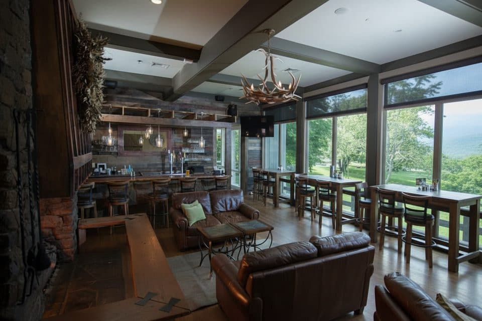 Restaurant · 0.3 mi awayPeaks of Otter RestaurantSit-down meals with Abbott Lake and Sharp Top views
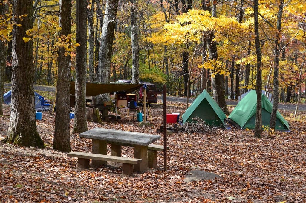 Campground · 0.4 mi awayPeaks of Otter CampgroundWoodsy Parkway basecamp steps from trails, Abbott Lake, and a lodge
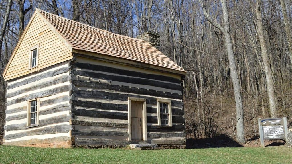 Sight · 0.5 mi awayPolly Woods OrdinaryTiny 1830s roadside inn preserved by Abbott Lake
 Sight · 0.7 mi awayJohnson FarmHistoric mountain farmstead reached by a mellow loop hike
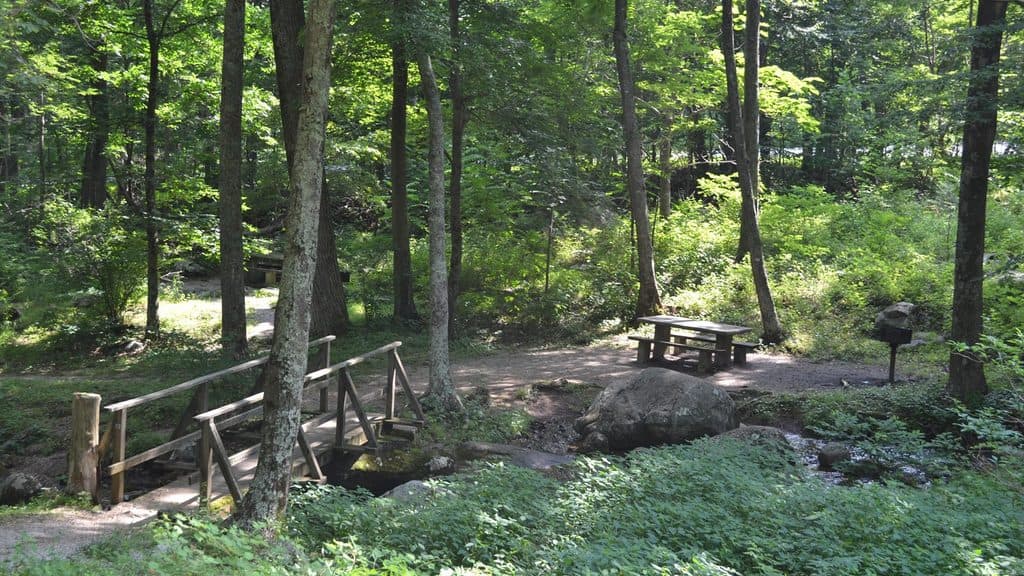 Picnic area · 0.7 mi awayPeaks of Otter Picnic AreaShady, creekside picnic spot tucked between Peaks trails
Parkwolf’s Blue Ridge Parkway ranking
The audio tour guide for the drive, plus offline maps, trails, and wildlife heatmaps for when the signal drops.




