Best time to go
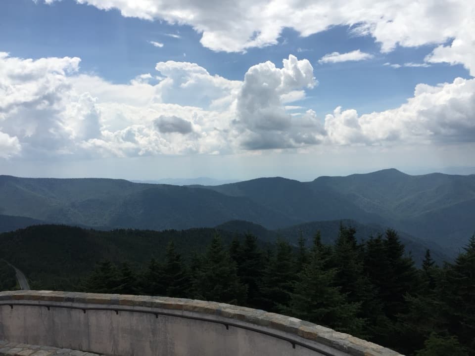
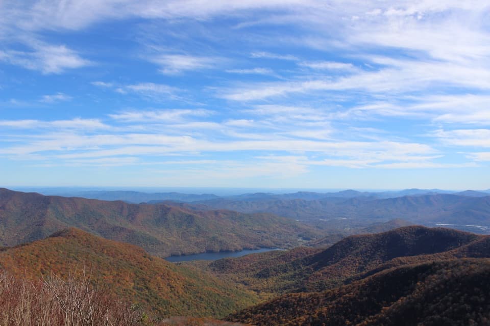
Visitors often praise the scenery and peaceful feel, and sunset comes up in a few accounts. I would treat this as an easy scenery break, especially if you want a broad ridge view, rather than a place to plan a walk or picnic.

Sight · Blue Ridge Parkway
A quick roadside pause for broad views across Goose Creek Valley.
Overview
Map
Plan your stop

The highest, rockiest slopes around here are a summer buffet for grizzly bears.
Blue Ridge Parkway Tour Guide
Parkwolf is a GPS audio tour guide for Blue Ridge Parkway. As you drive, it chimes in with what’s ahead: hidden gems, upcoming stops, history, geology, and wildlife, right through your car’s speakers.
See the Blue Ridge Parkway audio tourRecorded for this area
Sharp Top’s Stone in Washington“A piece of Sharp Top at Peaks of Otter ended up inside the Washington Monument. During the monument's construction, Virginians sent stone from the mountain to honor George Washington.”
Plays on the road 1 mi from Upper Goose Creek Valley Overlook in the Parkwolf Blue Ridge Parkway Tour Guide.
More stories near here in the app
“…We knew we wanted to drive the Blue Ridge Parkway. The narration was impeccably timed. The facts and info provided were meaningful. Without it, the trip would not have been near as awesome.”


Guide
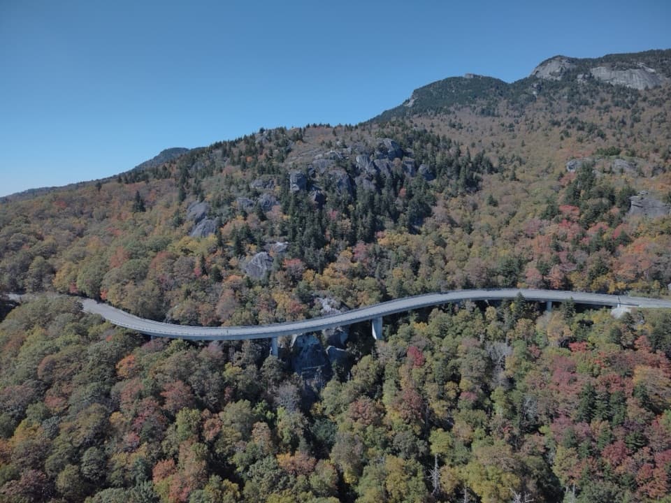
Upper Goose Creek Valley Overlook is a roadside viewpoint at milepost 89.4, with a broad look across wooded ridges and the valley below. At 1,925 feet, it is a short scenery pause rather than a hike: there are no trails or picnic tables here.
The overlook faces southeast. One mid-October field visit found the late-afternoon sun straight ahead, while the more southerly left end still offered a clearer vista; the valley itself can disappear from some angles. If your first look feels closed, check the view from more than one spot along the pull-off.
Wildlife
 1,214 sightingsBlack BearMost seen around 7 AMSighting map
 1,021 sightingsElkMost seen around 7 AMSighting map
 2,266 sightingsWhite-tailed DeerMost seen around 6 PMSighting map
 200 sightingsCoyoteMost seen around 6 PMSighting map
 1,130 sightingsWild TurkeyMost seen around 7 AMSighting map
 255 sightingsRed-tailed HawkMost seen around 11 AMSighting map
Sighting maps show where each species has been reported across Blue Ridge Parkway. Wildlife moves, so no sighting is guaranteed.
Keep exploring
 ModerateHarkening Hill Loop Trail3.3 mi · 2.5 hr · 2.8 mi awayA wooded climb to a rocky summit and broad Blue Ridge views.
 ModerateElk Run Loop Trail0.8 mi · 1 hr · 2.8 mi awayA short forest loop passes a cemetery near the far end.
 ModerateJohnson Farm Loop Trail2 mi · 2.5 hr · 2.9 mi awayA short loop from Peaks of Otter to a preserved mountain farm.
 EasyAbbott Lake Trail1 mi · 54 min · 3 mi awayWalk a level lake loop with Sharp Top across the water.
 ChallengingSharp Top Trail3 mi · 3.5 hr · 3 mi awaySteep, rocky climb to 360-degree views from Sharp Top summit.
 ModerateFallingwater Cascades Trail1.4 mi · 1.5 hr · 3.6 mi awayA creekside loop to layered falls, with a steep climb back.
 ChallengingFlat Top Trail4.4 mi · 4 hr · 3.7 mi awayA steep ridge crossing to Flat Top, with far-reaching Blue Ridge views.
 Scenic pullout · 0.6 mi awayPorters Mountain OverlookA quick pull-off for the open Goose Creek Valley view.
 Scenic pullout · 2 mi awayMills Gap OverlookA small overlook with a picnic table and Appalachian Trail crossing.
 Sight · 2.3 mi awayPurgatory Mountain OverlookA roadside pause for Purgatory Mountain and James River valley views.Sight · 2.7 mi awayJohnson FarmThe farmstead predates the Parkway and rewards the wooded hike.
 Visitor center · 2.8 mi awayPeaks of Otter Visitor CenterStart with trail maps, local history, and a Peaks passport stamp.
 Scenic pullout · 2.9 mi awayBoblett’s Gap OverlookA family cemetery at a tree-screened Parkway overlook.
 Sight · 3 mi awayPeaks of Otter Lodge and Abbott LakeAn easy lake loop, lodge meal, and Sharp Top views.
 Sight · 3.2 mi awayPolly Wood’s OrdinaryA relocated 19th-century waystation tucked into the Peaks of Otter scene.
Parkwolf’s Blue Ridge Parkway ranking

The audio tour guide for the drive, plus offline maps, trails, and wildlife heatmaps for when the signal drops.