Chestnut Ridge Loop Trail in Blue Ridge Parkway

Blue Ridge Parkway, NC · VA

Chestnut Ridge Loop Trail

Shady hardwood loop with easy grades and great birding near Roanoke

Length
5.4mi
Time
2.5hr
Elev. change
252ft
Difficulty
Moderate
  • Loop
  • Dogs allowed
  • High point 1,542 ft

Hear the audio tour

Mill Mountain Star: Roanoke’s Neon Beacon

Overview

About Chestnut Ridge Loop Trail

Why go

  • Excellent birding along an easy, continuous loop
  • Deep shade and cooler feel even on hot summer days

Heads up

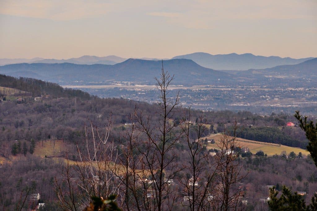
  • Few true views and occasional road noise
  • Multiple intersections can confuse first timers

Map & elevation

The route

Loading the Blue Ridge Parkway map
Full map
Elevation1,289–1,542 ft
TrailheadChestnut Ridge Overlook37.22845, -79.95081
Keep this map with you offline in the Parkwolf app

Plan your hike

Before you go

Parking

Park at the signed Chestnut Ridge Overlook on Mill Mountain Parkway near Blue Ridge Parkway Milepost 120.4. The National Park Service also identifies access from the spur road and Roanoke Mountain Picnic Area, with a trail parking area about 700 feet before the picnic-area turn NPS NPS trails.

Best time to go

Spring and fall are especially pleasant for blooms, birds, and foliage. Summer's deep shade helps with heat, while winter is quieter and can open longer views through the trees. Early weekday starts are best for a calmer hike.

Safety

Ticks and copperheads in warm months; sections get muddy after rain; multiple intersecting loops—carry a map or photo.

2 active Blue Ridge Parkway alerts

  • ClosureNorth Carolina Helene-related closuresAvoid the closed Parkway section from MP 344.2–355.3; recreation of any kind is prohibited there.Official details
  • ClosureVirginia Parkway closures and detourFollow the signed detour around the closed James River Bridge and avoid the closed Roanoke Mountain Loop. - James River Bridge (MP 63.5–63.Official details
Blue Ridge Parkway alerts
A park ranger sits on a dash-mounted phone, talking, as Parkwolf’s Tour Guide plays “Army Cutworm Moths: A Grizzly Bear Buffet” on Grand Loop Road below Dunraven Pass in Yellowstone
Parkwolf Tour GuideThe highest, rockiest slopes around here are a summer buffet for grizzly bears.

Blue Ridge Parkway Tour Guide

Your drive to Chestnut Ridge Loop Trail, narrated.

Parkwolf is a GPS audio tour guide for Blue Ridge Parkway. As you drive, it chimes in with what’s ahead: hidden gems, upcoming stops, history, geology, and wildlife, right through your car’s speakers.

See the Blue Ridge Parkway audio tour

Recorded for this area

Mill Mountain Star: Roanoke’s Neon Beacon
Listen
“That giant glowing star on the mountain is the Mill Mountain Star, and it has a bit of a funny origin. It was built in 1949 as a temporary Christmas decoration to boost holiday shopping.”

Plays on the road 1 mi from the trailhead in the Parkwolf Blue Ridge Parkway Tour Guide.

More stories near here in the app

  • The Road as the Destination
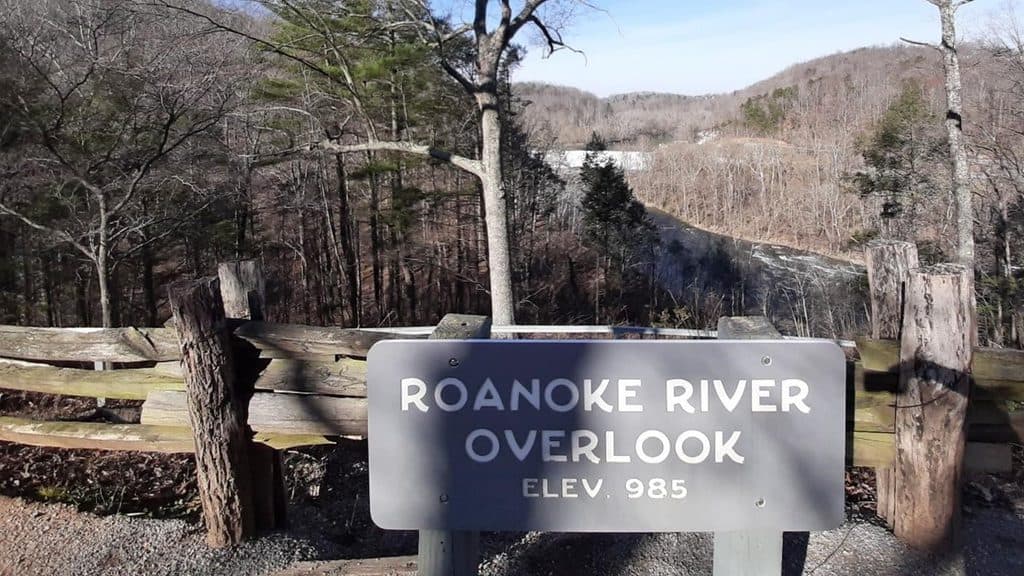
  • Roanoke River Overlook and Dam View
  • 277 audio storiesacross Blue Ridge Parkway’s roads, triggered by GPS as you drive
  • Wildlife heatmapsfor Black Bear, Elk, White-tailed Deer, and 13 more
  • Works offlinemaps, 112 trails, 232 places, and audio download before you lose signal
  • CarPlay readysimple controls built for the drive
★★★★★
“…We knew we wanted to drive the Blue Ridge Parkway. The narration was impeccably timed. The facts and info provided were meaningful. Without it, the trip would not have been near as awesome.”
Ashl GApp Store review
Download Parkwolf on the App StoreGet Parkwolf on Google Play

4.7 from 8,600+ ratings

Trail guide

Hiking Chestnut Ridge Loop Trail

What to expectChestnut Ridge Trail is a moderate 5.

Chestnut Ridge Trail is a moderate 5.4-mile figure-eight loop near Roanoke Mountain on the Blue Ridge Parkway. The route moves through quiet eastern hardwood forest with a generally broad, natural tread, gentle-to-moderate grades, and occasional roots and rocks. It is a good fit for a half-day hike or trail run, but the multiple branches make a map photo useful before setting out NPS Virginia DWR.

Scenery, flora, and wildlifeExpect oak- and maple-dominated woods, mountain laurel, and rhododendron.

Expect oak- and maple-dominated woods, mountain laurel, and rhododendron. Spring wildflowers and blooms, summer shade, fall color, and more open winter sightlines each give the loop a different feel. Birdlife is a highlight, with opportunities for woodpeckers, wood thrush, and migrating warblers; deer, wild turkey, and eastern box turtles are also possible Virginia DWR Roanoke Outside.

Trail surface and difficultyThe route is mostly dirt and leaf litter with typical roots and occasional rocks.

The route is mostly dirt and leaf litter with typical roots and occasional rocks. NPS lists Chestnut Ridge as a moderate trail over five miles; the loop's sustained sections feel more than a flat nature walk, while the shaded forest keeps much of the hike comfortable. Lower, shaded areas can be muddy after rain NPS Hiking Project.

Access, facilities, and navigationUse the signed Chestnut Ridge Overlook on Mill Mountain Parkway near Blue Ridge Parkway…

Use the signed Chestnut Ridge Overlook on Mill Mountain Parkway near Blue Ridge Parkway Milepost 120.4 as the primary start. The National Park Service also describes access from the spur road and Roanoke Mountain Picnic Area; its picnic-area page places a trail parking area about 700 feet before the picnic-area turn. The figure-eight has several junctions, so photograph the trail map and follow the intended branch NPS trails NPS picnic area.

Regulations and tipsLeashed dogs are allowed on Blue Ridge Parkway trails; bikes are not permitted on Parkway…

Leashed dogs are allowed on Blue Ridge Parkway trails; bikes are not permitted on Parkway hiking trails. Bring water, check for ticks, and give snakes plenty of room in warm weather. Facilities near the picnic area may be seasonal, and the route can be close to the spur road in places NPS pets NPS bicycling NPS fees.

Wildlife

Wildlife in Blue Ridge Parkway

All Blue Ridge Parkway wildlife maps

Sighting maps show where each species has been reported across Blue Ridge Parkway. Wildlife moves, so no sighting is guaranteed.

Parkwolf’s Blue Ridge Parkway ranking

Top-rated trails in Blue Ridge Parkway

All 112 trails
  1. 1Art Loeb TrailChallenging · 30.1 mi
  2. 2Rough Ridge TrailModerate · 1.2 mi
  3. 3Sharp Top TrailChallenging · 3 mi
  4. 4Tennent Mountain LoopModerate · 5 mi
  5. 5Daniel Boone Scout TrailChallenging · 7.2 mi
  6. 6Deep Gap Trail (Mount Mitchell)Challenging · 7.2 mi

Take Parkwolf to Blue Ridge Parkway.

The audio tour guide for the drive, plus offline maps, trails, and wildlife heatmaps for when the signal drops.

4.7 from 8,600+ ratings

Download Parkwolf on the App StoreGet Parkwolf on Google Play