Parking
Roanoke River Overlook at Blue Ridge Parkway Milepost 114.9; approximately 35 painted spaces, benches, and trash receptacles at the trailhead.

Blue Ridge Parkway, NC · VA
A short, hilly river-and-dam walk with a wooded loop beneath the Parkway bridge.
Overview
Roanoke River Trail is a short, hilly walk from the Roanoke River Overlook at Blue Ridge Parkway Milepost 114.9. The route drops from the overlook toward the river, passes beneath the Parkway bridge, and follows the signed Loop Trail through the woods, with views toward the Roanoke River and Niagara Dam. The complete mapped itinerary—including the short loop and the return to the overlook—is about 0.6 miles and takes roughly 30–45 minutes. The National Park Service describes the trail itself as an easy 0.35-mile hike; that shorter figure does not describe the full out-and-back itinerary with the loop completed.
 Parkwolf’s verdictWhy hike this trail
Map & elevation
Plan your hike

The highest, rockiest slopes around here are a summer buffet for grizzly bears.
Blue Ridge Parkway Tour Guide
Parkwolf is a GPS audio tour guide for Blue Ridge Parkway. As you drive, it chimes in with what’s ahead: hidden gems, upcoming stops, history, geology, and wildlife, right through your car’s speakers.
See the Blue Ridge Parkway audio tourRecorded for this trailhead
Roanoke River Overlook and Dam View“The upcoming pullout is for the Roanoke River Overlook, which offers a direct view of the river and the Niagara Dam. If you want a quick walk, a short trail network starts here.”
Plays as you drive up to this trailhead in the Parkwolf Blue Ridge Parkway Tour Guide.
More stories near here in the app
“…We knew we wanted to drive the Blue Ridge Parkway. The narration was impeccably timed. The facts and info provided were meaningful. Without it, the trip would not have been near as awesome.”


Trail guide
Begin at the Roanoke River Overlook parking area. The route starts on pavement, then changes to compacted dirt and leaf litter as it descends to the junction beneath the Parkway bridge. Continue on the named Loop Trail to the loop’s stump junction, complete the short loop, then retrace the connector and the main trail back uphill to the overlook. The separately named Fisherman's Trail to the river and Overlook Trail spur are not included in this stored route; they are optional side trips with different terrain and endpoints.
The overlook and trail provide changing views of the Roanoke River, Niagara Dam, and its 1906 powerhouse. The route passes below the Parkway bridge and through a wooded area with benches and small interpretive plaques about local plants. The nearby railroad corridor may add occasional train activity.
This is a short route, but it is mostly downhill on the way out and uphill on the return. The trail bed is narrow—about 2–4 feet wide in places—and uneven, with roots, sticks, and stairs on all sections. The pavement-to-dirt transition and stairs can be slick after heavy rain, and ice may occur in winter. The strong river current makes swimming unsafe; fishing is allowed with a valid license. Pets are allowed only on a leash no longer than 6 feet; horses are not allowed. The terrain and narrow tread are not wheelchair accessible and the trail is not recommended for strollers.
The overlook is open year-round. There are approximately 35 painted parking spaces, benches, and trash receptacles at the trailhead. Entrance fees may apply to the Parkway even though this hike has no separate activity fee.
Wildlife
 1,208 sightingsBlack BearMost seen around 7 AMSighting map
 1,020 sightingsElkMost seen around 7 AMSighting map
 2,257 sightingsWhite-tailed DeerMost seen around 6 PMSighting map
 200 sightingsCoyoteMost seen around 6 PMSighting map
 1,126 sightingsWild TurkeyMost seen around 7 AMSighting map
 255 sightingsRed-tailed HawkMost seen around 11 AMSighting map
Sighting maps show where each species has been reported across Blue Ridge Parkway. Wildlife moves, so no sighting is guaranteed.
Keep exploring
 EasyStewart Knob Trail2.1 mi · 54 min · 3.1 mi awayShort moderate out-and-back from Stewart Knob Overlook with wooded miles and a Blue Ridge view
 EasyRoanoke Mountain Woodland Trail0.4 mi · 15 min · 4.5 mi awayA tiny summit loop with rocky footing and broad Roanoke views.
 ModerateChestnut Ridge Loop Trail5.4 mi · 2.5 hr · 4.6 mi awayShady hardwood loop with easy grades and great birding near Roanoke
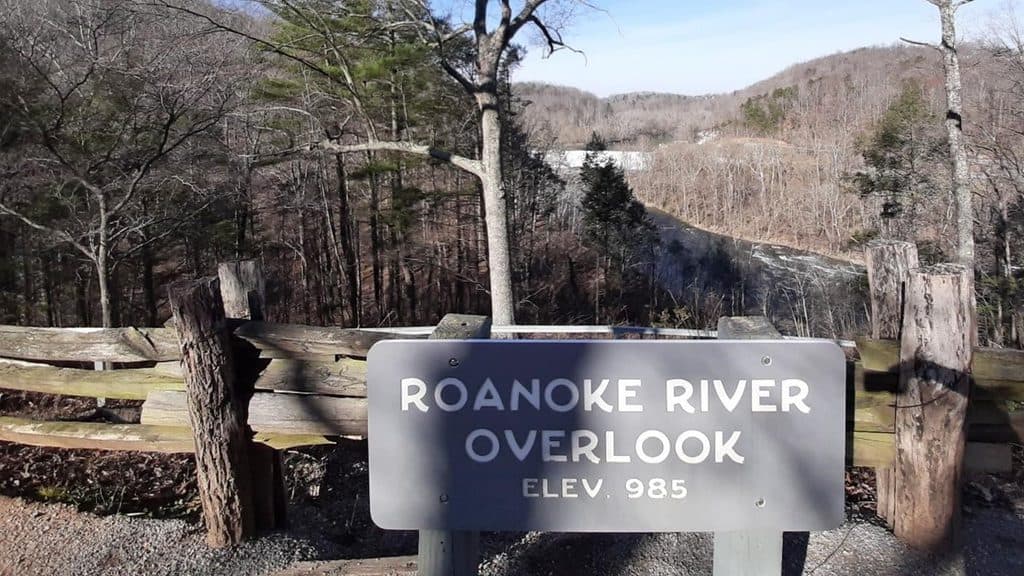 Scenic pullout · At the trailheadRoanoke River OverlookQuick river-and-dam views with a short, choose-your-effort trail
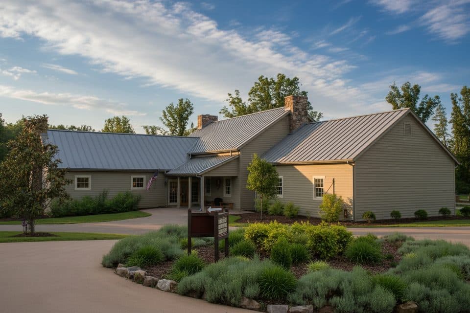 Visitor center · 1.5 mi awayExplore Park Visitor Center and Park StoreOrientation hub with exhibits, film, and a great park store
 Campground · 1.5 mi awayExplore Park CampgroundGlamping-to-primitive campground with trails, river access, and brewpub
 Scenic pullout · 4.5 mi awayRoanoke Mountain OverlookSummit views over Roanoke via a quiet, one-way mountain loop
 Picnic area · 4.5 mi awayRoanoke Mountain Picnic AreaShady picnic hub with grills and quick access to Roanoke views
Parkwolf’s Blue Ridge Parkway ranking
The audio tour guide for the drive, plus offline maps, trails, and wildlife heatmaps for when the signal drops.





