Parking
Start at the paved lot by the Linville Falls Visitor Center on the Blue Ridge Parkway at milepost 316.4. The Old NC 105 gravel lot is a separate access; use the visitor-center lot for the 1.18-mile round trip here.
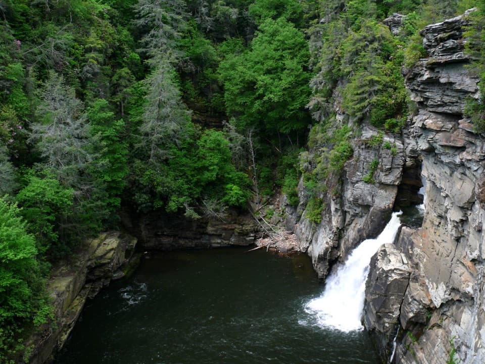
Blue Ridge Parkway, NC · VA
A steep half-mile walk to the lower falls and Chimneys.
Photo: Ken Thomas, Public domain, via Wikimedia Commons
Overview
Plunge Basin Overlook Trail is a steep out-and-back through the forest to a rocky ledge above Linville Falls’ lower drop. Plan on about 1.18 miles round trip from the paved visitor-center lot; another published figure rounds the walk to one mile from the visitor center. Allow about an hour, including time at the overlook. Choose this for a close view of the lower falls and the Chimneys. If you want a gentler walk with more viewpoints, Erwin’s View Trail across the river is a moderate 1.6-mile round trip.
 Parkwolf’s verdictIs this the hike for you?
Map & elevation
Plan your hike

The highest, rockiest slopes around here are a summer buffet for grizzly bears.
Blue Ridge Parkway Tour Guide
Parkwolf is a GPS audio tour guide for Blue Ridge Parkway. As you drive, it chimes in with what’s ahead: hidden gems, upcoming stops, history, geology, and wildlife, right through your car’s speakers.
See the Blue Ridge Parkway audio tourRecorded for this trailhead
Linville Falls: Choose the Overlook Walk“Up ahead is the Linville Falls visitor area, where the waterfall views require a walk. I'd choose Erwin's View Trail for a moderate, one-point-six-mile round trip taking about an hour to an hour and a half.”
Plays as you drive up to this trailhead in the Parkwolf Blue Ridge Parkway Tour Guide.
More stories near here in the app
“…We knew we wanted to drive the Blue Ridge Parkway. The narration was impeccably timed. The facts and info provided were meaningful. Without it, the trip would not have been near as awesome.”


Trail guide
Start at the Linville Falls Visitor Center and take the signed right fork toward Plunge Basin Overlook. The left fork is a separate descent toward the base of the falls. The approach runs through rhododendron, then turns south and drops toward the water. At the junction around a third of a mile in, bear right through dense mountain laurel; you’ll hear the falls more clearly as you descend. The rocky overlook is roughly half a mile from the visitor center. Return the same way.
The round trip is brief, but the National Park Service classifies it as strenuous. The trail loses and regains elevation over a short stretch, and the overlook is a rough rock outcrop above the river. This is a poor fit if you need a level, easy walk. Climbing on the rocks and swimming in the Linville River are prohibited.
From the ledge, you can see the lower falls and the tall rock outcrops called the Chimneys. The Linville River narrows into the gorge before dropping 45 feet over the lower falls. Frame the falling water with the rock wall and Chimneys to show how tightly the river is boxed in.
Rhododendron and mountain laurel crowd the route, with hemlock, white pine, oak, hickory and birch in the surrounding forest. Spring brings wildflowers; in fall, red and golden leaves stand out against the evergreen hemlocks.
Wildlife
 1,214 sightingsBlack BearMost seen around 7 AMSighting map
 1,021 sightingsElkMost seen around 7 AMSighting map
 2,266 sightingsWhite-tailed DeerMost seen around 6 PMSighting map
 200 sightingsCoyoteMost seen around 6 PMSighting map
 1,130 sightingsWild TurkeyMost seen around 7 AMSighting map
 255 sightingsRed-tailed HawkMost seen around 11 AMSighting map
Sighting maps show where each species has been reported across Blue Ridge Parkway. Wildlife moves, so no sighting is guaranteed.
Keep exploring
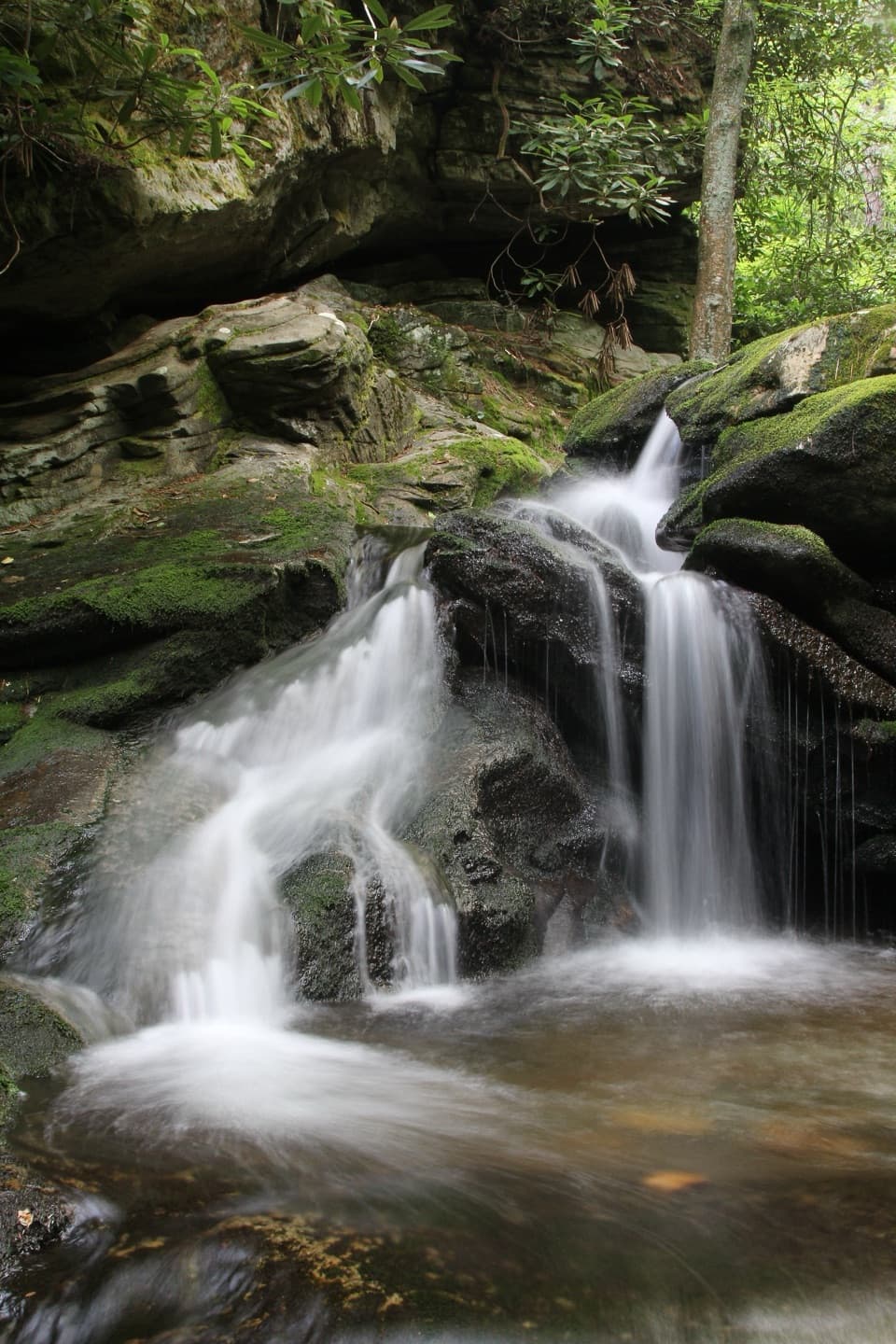 EasyDuggers Creek Trail0.3 mi · 15 min · At the trailheadA quarter-mile loop to a shaded cascade and its creekside bridge.
 ModerateErwins View Trail1.6 mi · 1.5 hr · 0.1 mi awayFour overlooks trace the river from upper cascades to gorge.
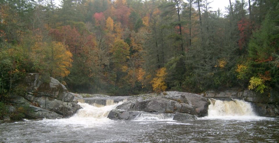 ModerateUpper Linville Falls Trail1 mi · 45 min · 0.1 mi awaySee the upper cascades before they vanish into the gorge.
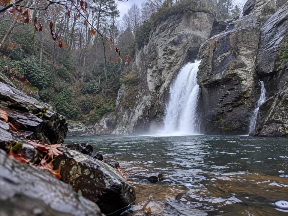 ChallengingLinville Gorge Trail1.4 mi · 2 hr · 0.1 mi awayA steep rock descent reaches the forceful lower falls.
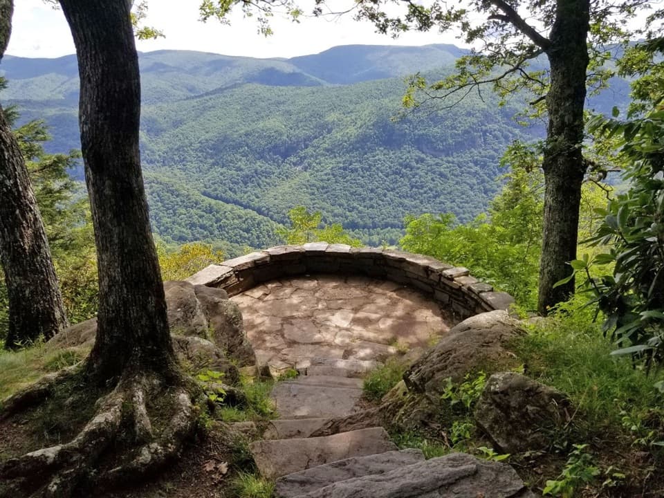 EasyChestoa View Trail0.8 mi · 42 min · 2.5 mi awayA short forest loop, with a 32-step spur to the stone balcony.
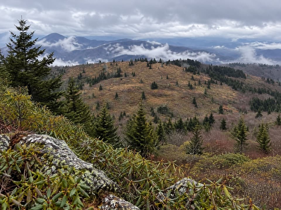 ModerateLittle Tablerock Mountain Trail4.2 mi · 2.8 hr · 5 mi awayA forest climb to a North Toe Valley overlook.
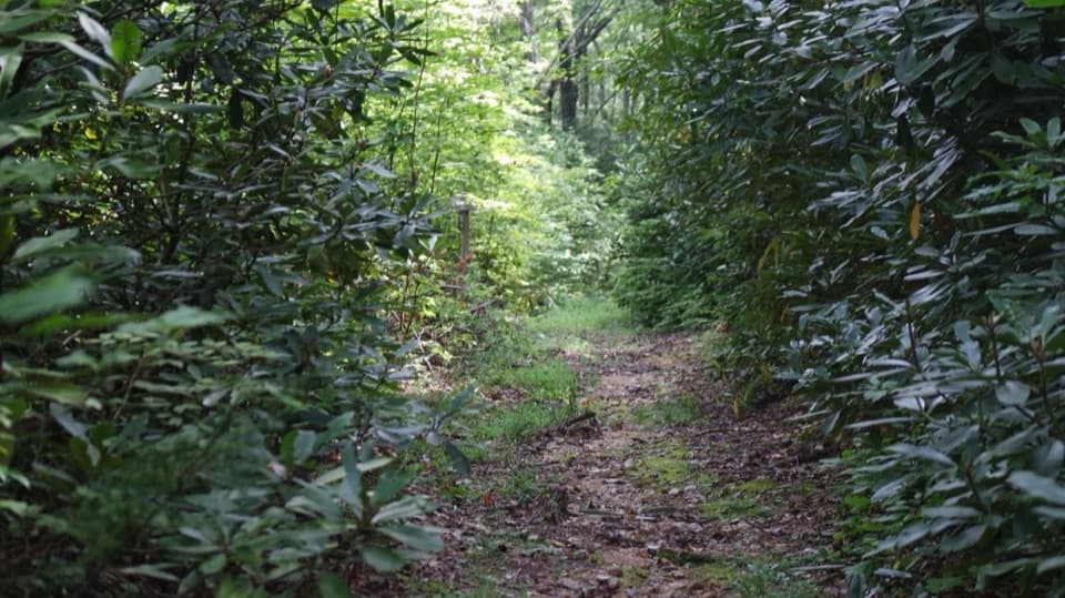 EasyRose Creek Trail1.5 mi · 45 min · 6.4 mi awayA short creekside walk with a Revolutionary War story.
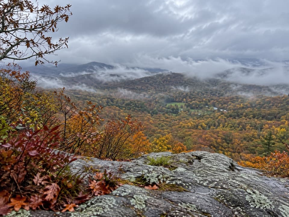 EasyFlat Rock Trail0.6 mi · 36 min · 7.7 mi awayA short rocky loop to an open ledge above the Linville Valley.
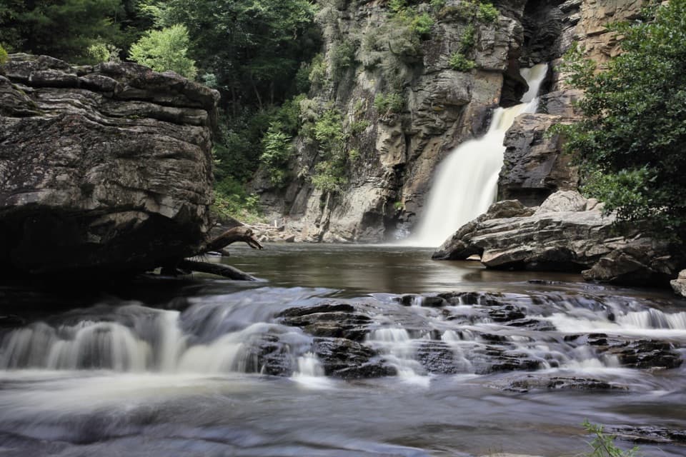 Sight · 0.5 mi awayLinville FallsTwo waterfall tiers and four gorge overlooks make this a real walk.
 Campground · 0.8 mi awayLinville Falls CampgroundA basic campground base for Linville Falls, without showers or hookups.
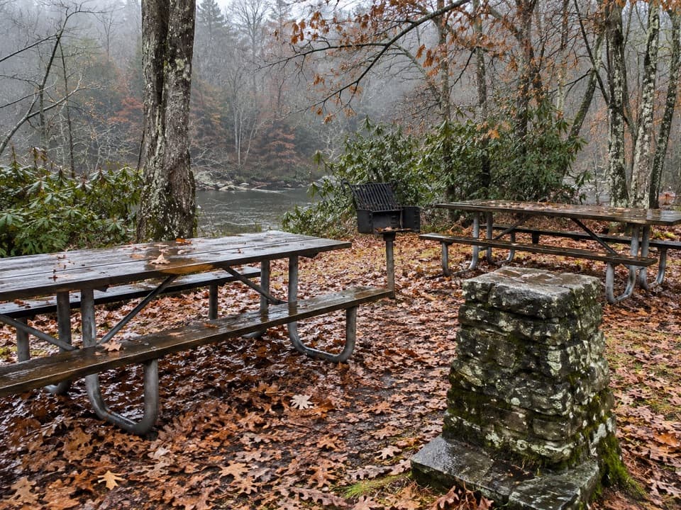 Picnic area · 1.5 mi awayLinville Falls Picnic AreaA shaded lunch stop beside the Linville River.
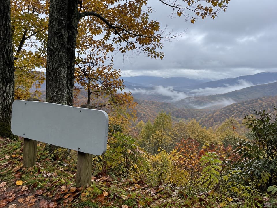 Scenic pullout · 1.8 mi awayNorth Toe River Valley OverlookA quick pull-off for layered views across the North Toe River valley.
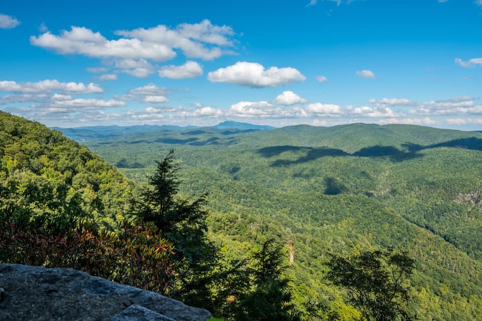 Sight · 2.5 mi awayChestoa View OverlookA stone balcony frames North Cove and distant Grandfather Mountain.
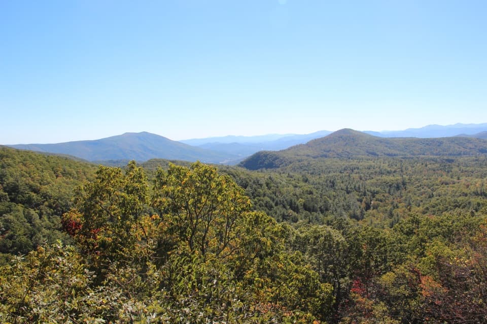 Scenic pullout · 4.3 mi awayBear Den OverlookA quick pull-off for a sweeping, west-facing mountain view.
 Scenic pullout · 6 mi awayLost Cove Cliffs OverlookA picnic pullout for a glimpse of Lost Cove’s wooded cliffs
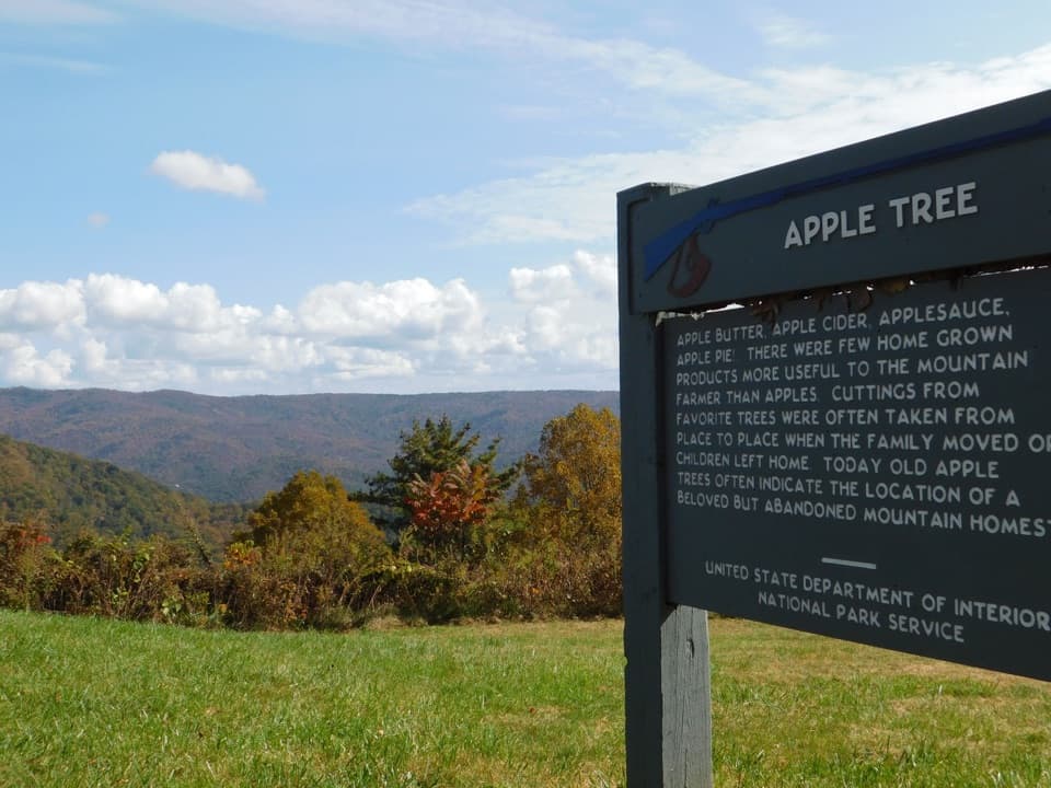 Sight · 6.4 mi awayHeffner Gap OverlookA mountain-view stop with an apple orchard and 1780 trail history.
Parkwolf’s Blue Ridge Parkway ranking
The audio tour guide for the drive, plus offline maps, trails, and wildlife heatmaps for when the signal drops.




