Shared-Use Path: Shuttle Station to Inspiration Point in Bryce Canyon National Park

Bryce Canyon National Park, UT

Shared-Use Path: Shuttle Station to Inspiration Point

Five paved miles link the shuttle station to Bryce’s rim viewpoints.

Length
5mi
Time
2.8hr
Elev. change
479ft
Difficulty
Moderate
  • Dogs allowed
  • High point 8,153 ft

Hear the audio tour

Bryce Canyon Shuttle Station: Leave the Car Here

Overview

About Shared-Use Path: Shuttle Station to Inspiration Point

Why go

  • Paved link reaches the park shuttle station, services and rim viewpoints
  • Leashed pets are allowed

Heads up

  • Five miles one way; walking back makes a 10-mile outing
  • The southbound route gains 746 feet at high elevation

Map & elevation

The route

Loading the Bryce Canyon map
Full map
Elevation7,674–8,153 ft
TrailheadBryce Canyon Shuttle Station, Bryce Canyon City37.67105, -112.15678
Keep this map with you offline in the Parkwolf app

Plan your hike

Before you go

Parking

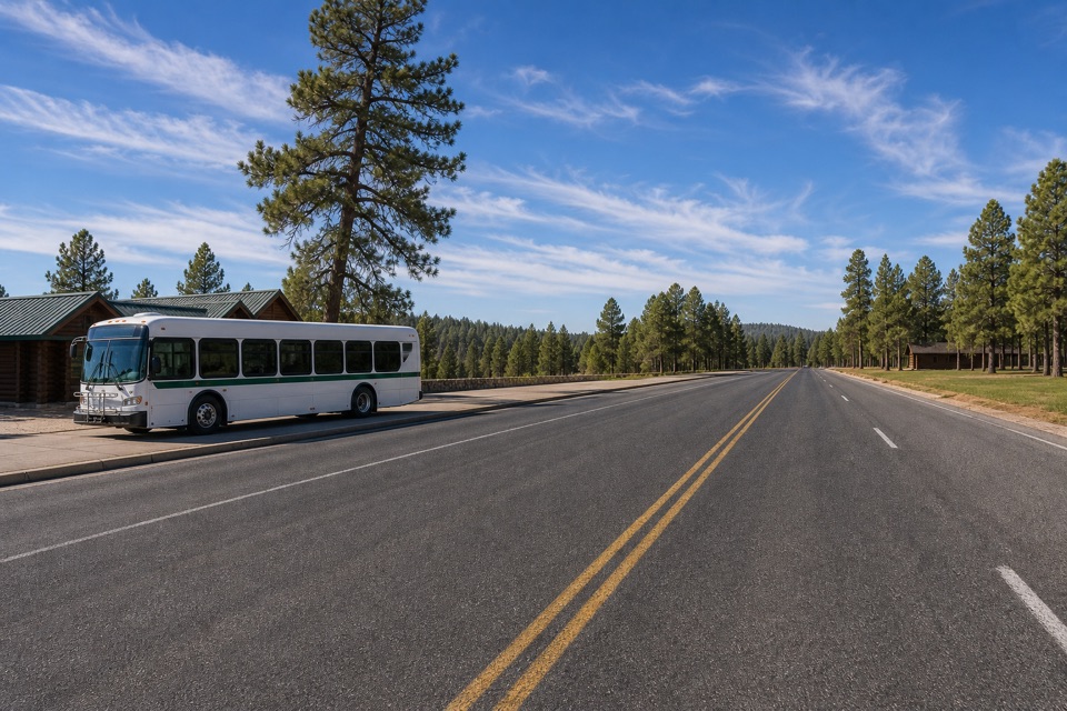
Start at Bryce Canyon City Shuttle Station, just north of the park. The park recommends leaving vehicles there when in-park lots fill; the shuttle links the station with Inspiration Point and other stops along this route. Plan the ride before setting out because this is a point-to-point walk.


Safety

The five-mile southbound route gains 746 feet at roughly 7,650–8,150 feet. Factor in altitude and the extra five miles if walking back. Cyclists also use the path, and the National Park Service says manual wheelchair users may need assistance on some sections.

3 active Bryce Canyon alerts

  • ClosureTrail closures due to recent weather eventWall Street and the Bryce Connector Trail to Peekaboo Loop are closed until further notice because of a recent weather event. - Do not enter these closed trails.Official details
  • CautionCurrent fire restrictionsFires are allowed only in established fire pits throughout Bryce Canyon National Park.Official details
See all 3 alerts
A park ranger sits on a dash-mounted phone, talking, as Parkwolf’s Tour Guide plays “Army Cutworm Moths: A Grizzly Bear Buffet” on Grand Loop Road below Dunraven Pass in Yellowstone
Parkwolf Tour GuideThe highest, rockiest slopes around here are a summer buffet for grizzly bears.

Bryce Canyon Tour Guide

Your drive to Shared-Use Path: Shuttle Station to Inspiration Point, narrated.

Parkwolf is a GPS audio tour guide for Bryce Canyon National Park. As you drive, it chimes in with what’s ahead: hidden gems, upcoming stops, history, geology, and wildlife, right through your car’s speakers.

Recorded for this trailhead

Bryce Canyon Shuttle Station: Leave the Car Here
0:00 / 0:26
“You're nearing the Bryce Canyon Shuttle Station, just outside the park. If you'd rather spend your time at the overlooks than looking for parking, leave the car here for the day and ride to the amphitheater stops.”

Plays as you drive up to this trailhead in the Parkwolf Bryce Canyon Tour Guide.

More stories near here in the app

  • Ruby's Inn: Food and an Early Visitor Story
  • Under the Prairie Dog Meadow
  • The Mule Deer's Bouncing Escape
  • Fairyland Point: Look for Sinking Ship
  • 30 audio storiesacross Bryce Canyon’s roads, triggered by GPS as you drive
  • Wildlife heatmapsfor Wapiti, Utah Prairie Dog, Mule Deer, and 13 more
  • Works offlinemaps, 24 trails, 41 places, and audio download before you lose signal
  • CarPlay readysimple controls built for the drive
★★★★★
“Super fun and useful app! We especially enjoyed the guide as we drove through Bryce Canyon National Park.”
Rae607App Store review
Download Parkwolf on the App StoreGet Parkwolf on Google Play

4.7 from 8,600+ ratings

Trail guide

Hiking Shared-Use Path: Shuttle Station to Inspiration Point

A five-mile park crossingThe Bryce Canyon Shared-Use Path is a paved, vehicle-free route from Bryce Canyon City’s…

The Bryce Canyon Shared-Use Path is a paved, vehicle-free route from Bryce Canyon City’s Shuttle Station to Inspiration Point. This park section is 5 miles one way, passing the Visitor Center, Sunrise Point, the Lodge and Sunset Point before reaching the rim. Walking back doubles the distance. Southbound, the route gains 746 feet and loses 266 feet; allow about 2½–3 hours on foot, with extra time for overlooks.

Choose your directionThe path generally climbs south from the shuttle station to Inspiration Point.

The path generally climbs south from the shuttle station to Inspiration Point. During the park shuttle season (April through October), ride south to Inspiration Point and walk mostly downhill back north to Bryce Canyon City. Otherwise, arrange a ride or plan for a 10-mile return walk. The shuttle’s front rack can carry two bicycles.

The stops along the wayFrom the shuttle station it is 2.4 miles to the Visitor Center, then 0.

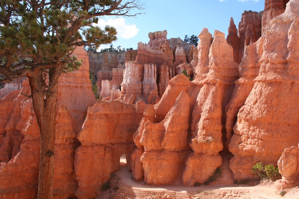
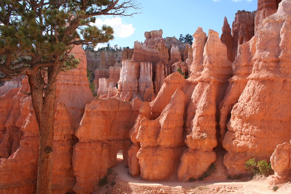
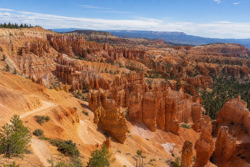
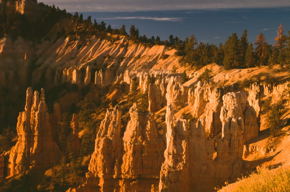
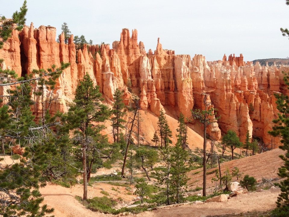
From the shuttle station it is 2.4 miles to the Visitor Center, then 0.8 mile to the Sunrise Point General Store. The last 1.8 miles reach Inspiration Point, with the Lodge and Sunset Point along the connected path. At Inspiration Point, take time to look across the Bryce Amphitheater and its hoodoos before returning or catching the shuttle.

Paved, shared and highWalkers share the two-lane path with cyclists and other nonmotorized users, so watch for faster…

Walkers share the two-lane path with cyclists and other nonmotorized users, so watch for faster riders, especially on curves. Leashed pets are allowed. The route rises from about 7,650 to 8,150 feet, so the steady climb can feel more demanding than the pavement suggests.

Services and accessThe Visitor Center and Sunset Point have restrooms and water bottle fill stations, and Sunrise…

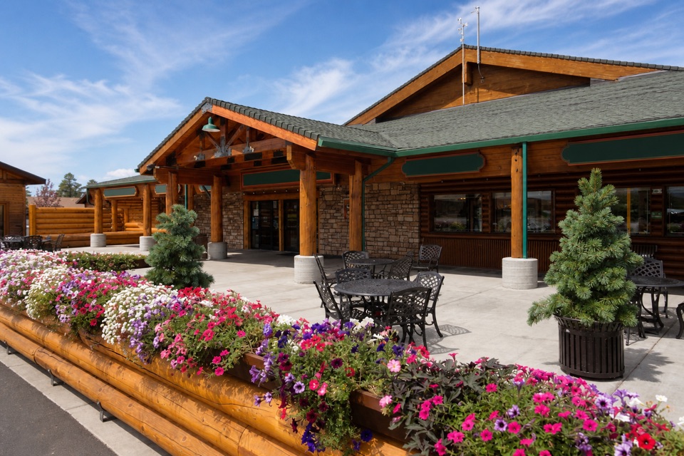
The Visitor Center and Sunset Point have restrooms and water bottle fill stations, and Sunrise Point has a general store. Those stops are on the route, though services and hours can vary. The path is a useful paved link between the park’s rim stops; pair it with a below-rim trail if you want to walk among the formations. Manual wheelchair users may need assistance on some sections, so check with the park about whether the full route fits your needs.

Wildlife

Wildlife in Bryce Canyon

All Bryce Canyon wildlife maps

Sighting maps show where each species has been reported across Bryce Canyon. Wildlife moves, so no sighting is guaranteed.

Keep exploring

Near Shared-Use Path: Shuttle Station to Inspiration Point

See it all on the map

Trails that start nearby

Places near the trailhead

Parkwolf’s Bryce Canyon ranking

Top-rated trails in Bryce Canyon

All 24 trails
  1. 1Queen’s Garden / Navajo Combination LoopModerate · 2.9 mi
  2. 2Navajo Loop TrailModerate · 1.3 mi
  3. 3Fairyland Loop TrailChallenging · 8 mi
  4. 4Peekaboo Loop TrailChallenging · 5.5 mi
  5. 5Figure-8 CombinationChallenging · 6.4 mi
  6. 6Queen's Garden TrailModerate · 1.8 mi

Take Parkwolf to Bryce Canyon.

The audio tour guide for the drive, plus offline maps, trails, and wildlife heatmaps for when the signal drops.

4.7 from 8,600+ ratings

Download Parkwolf on the App StoreGet Parkwolf on Google Play