Parking
Start at the Fairyland Point parking area at the end of its signed access road. No shuttle serves this lot. The other official access is the rim north of Sunrise Point, which has seasonal shuttle service.
#3 of 24 trails in Bryce Canyon
Bryce Canyon National Park, UT
A long hoodoo loop with a shady Tower Bridge spur.
Overview
Map & elevation
Plan your hike

The highest, rockiest slopes around here are a summer buffet for grizzly bears.
Bryce Canyon Tour Guide
Parkwolf is a GPS audio tour guide for Bryce Canyon National Park. As you drive, it chimes in with what’s ahead: hidden gems, upcoming stops, history, geology, and wildlife, right through your car’s speakers.
Recorded for this trailhead
Fairyland Point: Look for Sinking Ship“You're coming up on Fairyland Point, where the northern hoodoo country opens out just a few steps from the parking area. Look east for Sinking Ship, a block of rock tipped at about thirty degrees.”
Plays as you drive up to this trailhead in the Parkwolf Bryce Canyon Tour Guide.
More stories near here in the app
“Super fun and useful app! We especially enjoyed the guide as we drove through Bryce Canyon National Park.”


Trail guide
Fairyland Loop is an about 8-mile loop through the quieter northern side of Bryce Amphitheater, starting and ending at Fairyland Point. The total includes the short, shaded Tower Bridge spur walked out and back. Allow four to five hours. This is one of the park’s best long hikes if you want a full canyon day, with a changing route through hoodoos, open slopes and rim country. It is a strenuous commitment, not a quick add-on.
The loop can also start from the rim north of Sunrise Point. That access follows a short stretch of Rim Trail to the Fairyland branch; the route then returns to Sunrise Point on the rim. The park recommends walking counterclockwise. Some hikers prefer clockwise for a gentler finish, so pick the direction that suits your climbing preference and follow the junction signs.
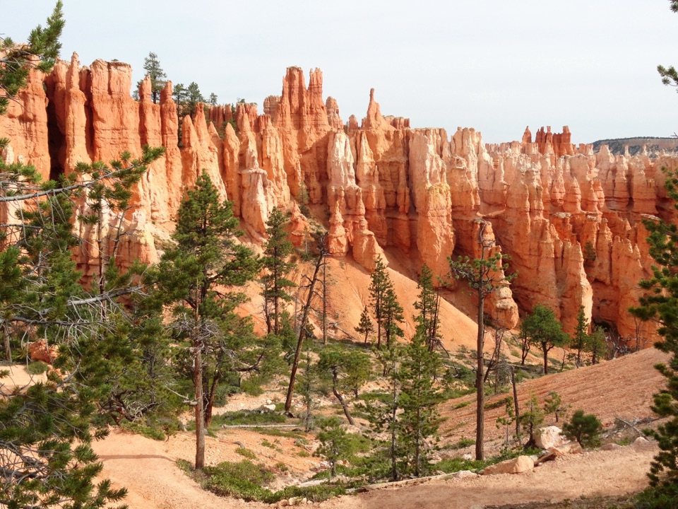
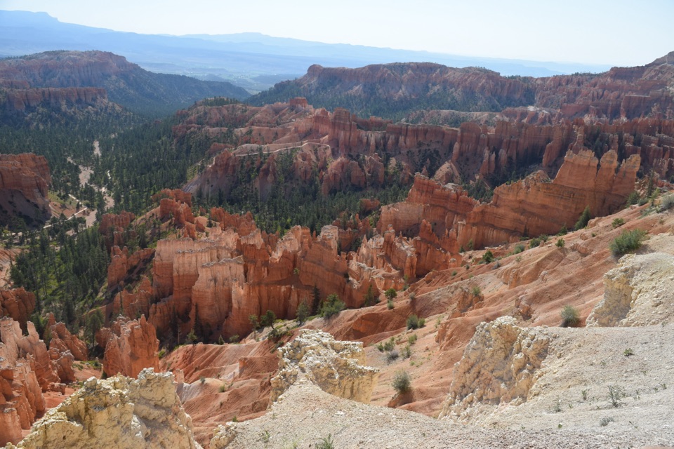
The Fairyland Trail leaves the rim and drops toward the canyon floor. It winds through ochre slopes beneath Boat Mesa, then descends to lower ground near Fairyland Canyon before climbing and rolling above Campbell Canyon. The views keep changing: Boat Mesa stays close, while Sinking Ship, Table Cliffs and Powell Point rise farther out. Near Campbell Creek, the trail crosses several dry washes. These are part of the route, not a water source.
Closer to the rim, a pale ridge of hoodoos marks the Chinese Wall. The loop climbs steadily back toward the Rim Trail, then follows the rim path to Fairyland Point. If you begin at Sunrise Point instead, the order reverses: you meet the Chinese Wall and Tower Bridge earlier and save the rim return for the end.
The Chinese Wall is a good place to notice how erosion changes the rock. Its broad wall breaks into narrower fins, then windows, and finally the free-standing hoodoos Bryce is known for. The park says freeze-thaw weathering happens on more than 170 days a year; water works into cracks, freezes and widens them, while runoff carries away loosened rock. Nearer the rim, the walls are less worn. Farther into the amphitheater, they have had longer to break apart.
The pale upper rock and warmer pink slopes below are different layers of the Claron Formation, deposited around 55 million years ago in a freshwater lake. Iron oxide helps color the pink member. It is a useful detail to keep in mind as the trail moves between light rim rock and deeper orange canyon walls.
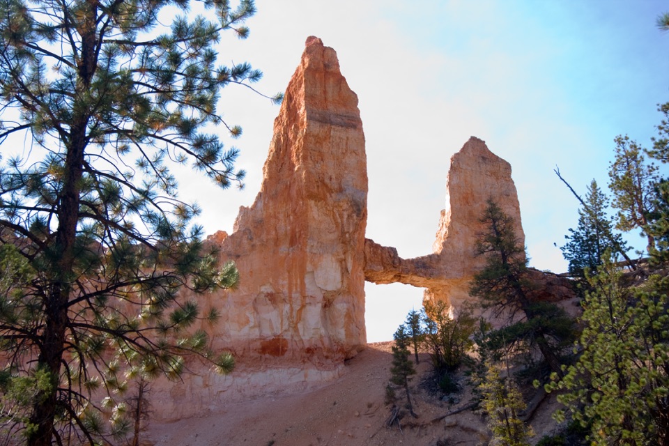
The natural bridge is a signature stop, not the loop’s endpoint. A short shaded side trail leaves the main path and leads to a close view of its tall rock towers and arch. Keep both towers in the frame so the span reads clearly against the surrounding cliffs. If you are short on energy, the loop still works without the spur, but the extra walk is a worthwhile reason to stay on the trail.
The park rates Fairyland as strenuous, with about 1,900 feet of climbing. The trail starts high, drops deeply into the canyon and makes you climb back out; that effort can feel sharper at Bryce’s altitude. Give yourself the full time estimate and pace the climb. In snowy midwinter, conditions can make the route inaccessible, so check current access before setting out.
Fairyland Point has parking but no shuttle service or visitor facilities. The other official access is north of Sunrise Point, where seasonal restrooms and water-fill stations are available at the General Store, a separate stop from the trail. Pets are not allowed on park trails; service animals are permitted.
Wildlife
 15 sightingsWapitiMost seen around 6 AMSighting map
 50 sightingsUtah Prairie DogMost seen around 9 AMSighting map
 331 sightingsMule DeerMost seen around 7 AMSighting map
 118 sightingsPronghornMost seen around 6 PMSighting map
 41 sightingsTurkey VultureMost seen around noonSighting map
 44 sightingsWild TurkeyMost seen around 7 AMSighting map
Sighting maps show where each species has been reported across Bryce Canyon. Wildlife moves, so no sighting is guaranteed.
Keep exploring
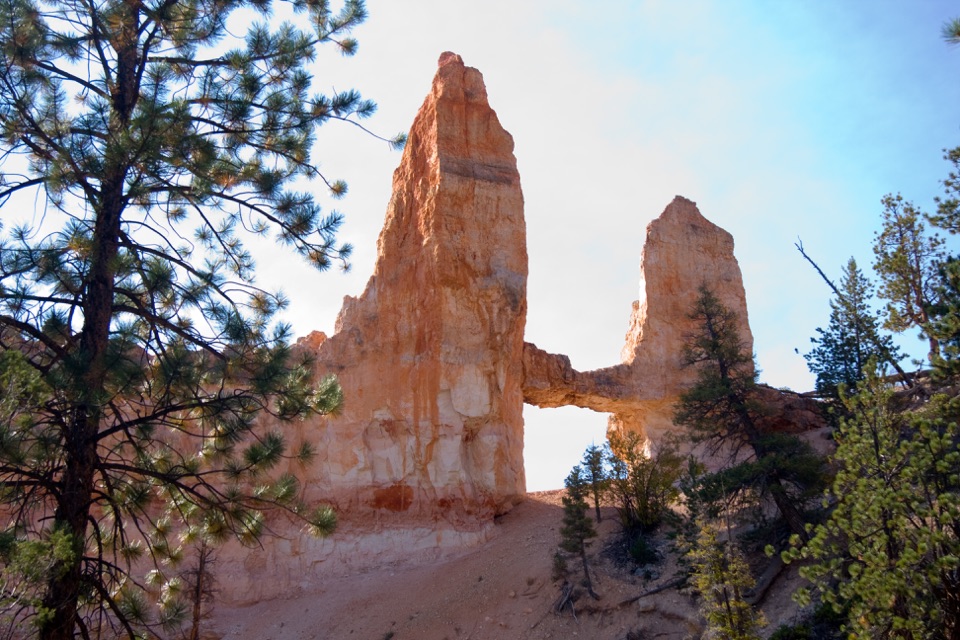 ModerateTower Bridge Trail3 mi · 2.5 hr · 1.5 mi awayDrop below the rim for a natural bridge and the Chinese Wall.
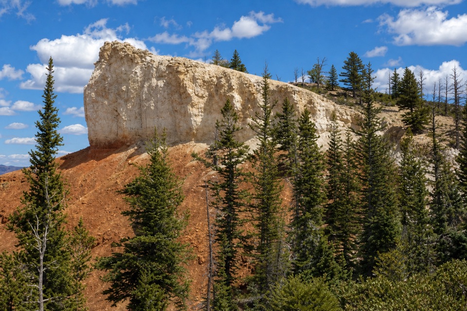 ModerateShared-Use Path: Shuttle Station to Inspiration Point5 mi · 2.8 hr · 1.6 mi awayFive paved miles link the shuttle station to Bryce’s rim viewpoints.
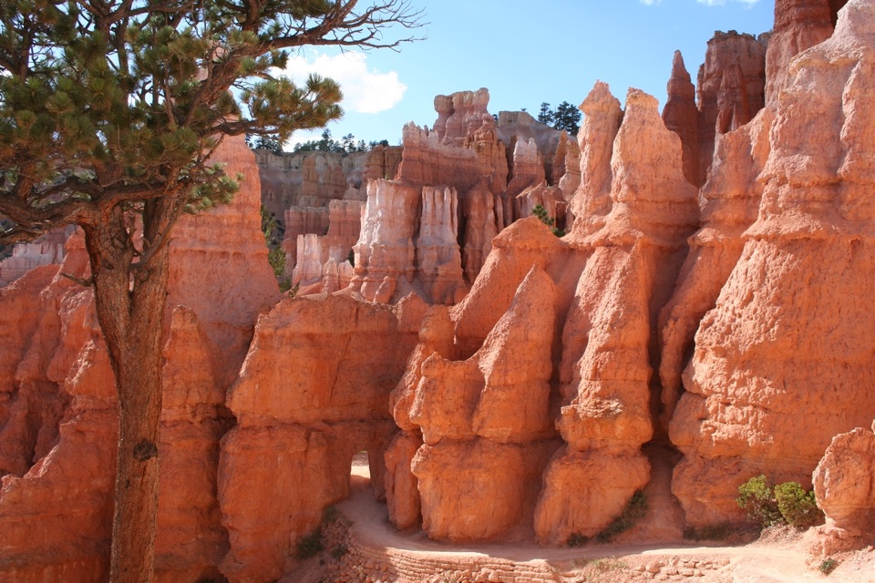 ModerateQueen’s Garden / Navajo Combination Loop2.9 mi · 2.5 hr · 1.7 mi awaySave Navajo’s steep switchbacks for the climb back out.
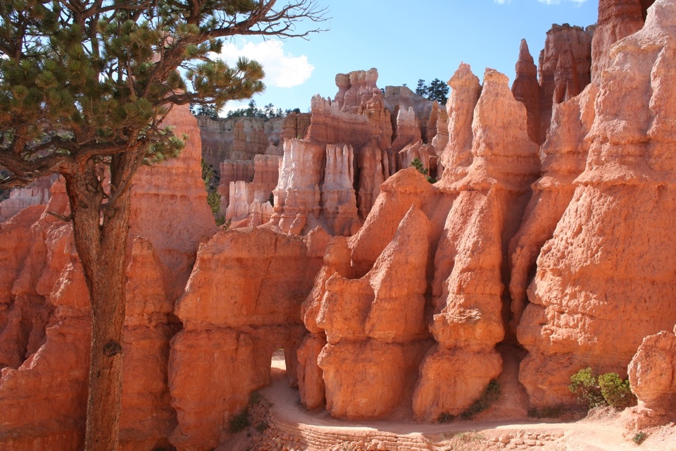 ModerateQueen's Garden Trail1.8 mi · 1.5 hr · 1.7 mi awayDrop below the rim to meet Queen Victoria, then climb back out.
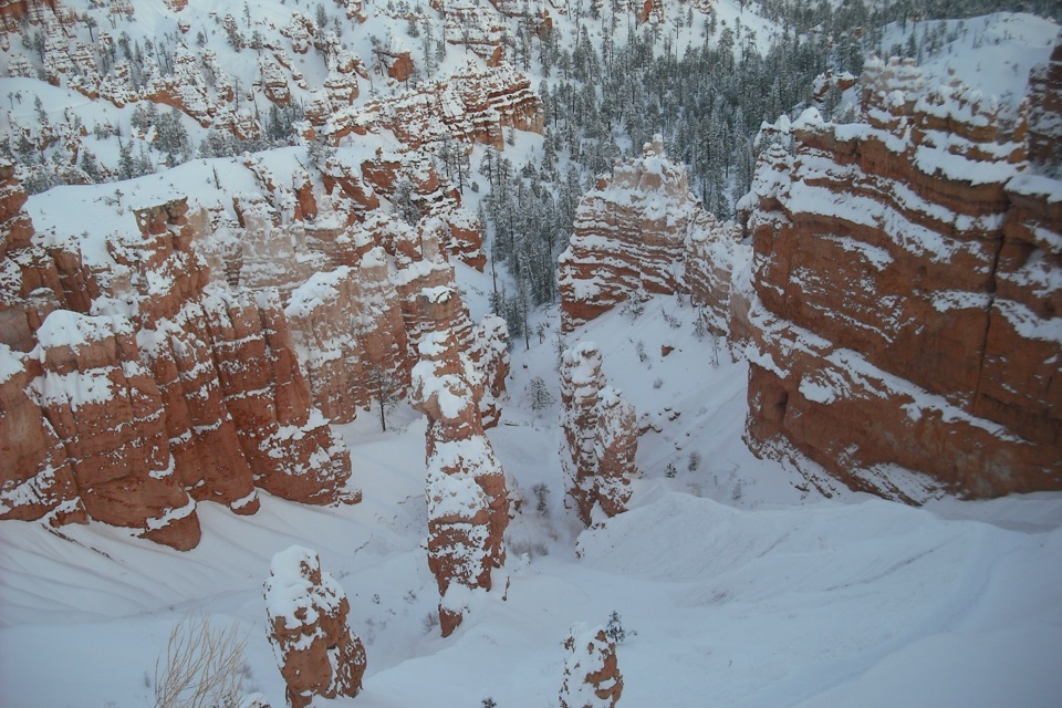 ChallengingFigure-8 Combination6.4 mi · 4.5 hr · 1.7 mi awayA long loop links Queen’s Garden, Peekaboo, Navajo, and the rim.
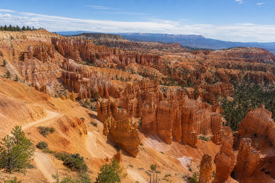 EasySunset Point to Sunrise Point Hike1 mi · 1 hr · 2.1 mi awayA paved half-mile rim walk with Bryce’s classic hoodoo view.
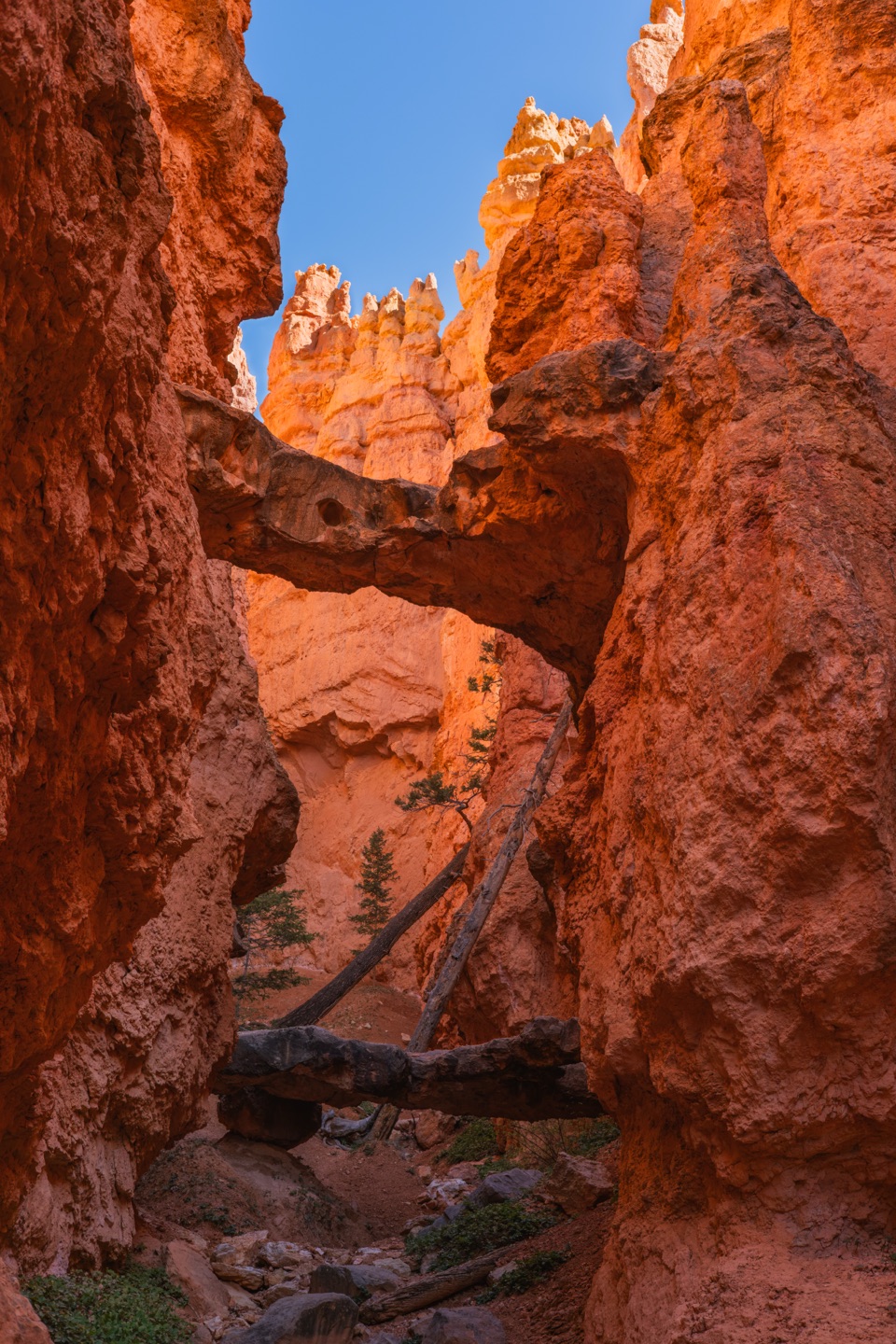 ModerateNavajo Loop Trail1.3 mi · 1.5 hr · 2.1 mi awayA steep descent to Thor’s Hammer, then a climb back out.
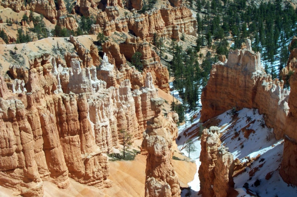 ChallengingNavajo/Peekaboo Combination Loop4.9 mi · 3.5 hr · 2.1 mi awayLink Navajo’s steep switchbacks to a clockwise lap around Peekaboo.
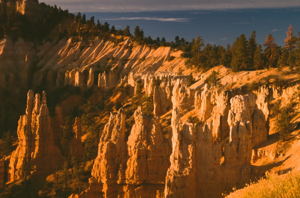 Sight · At the trailheadFairyland PointA quieter north-rim view over hoodoos still taking shape.
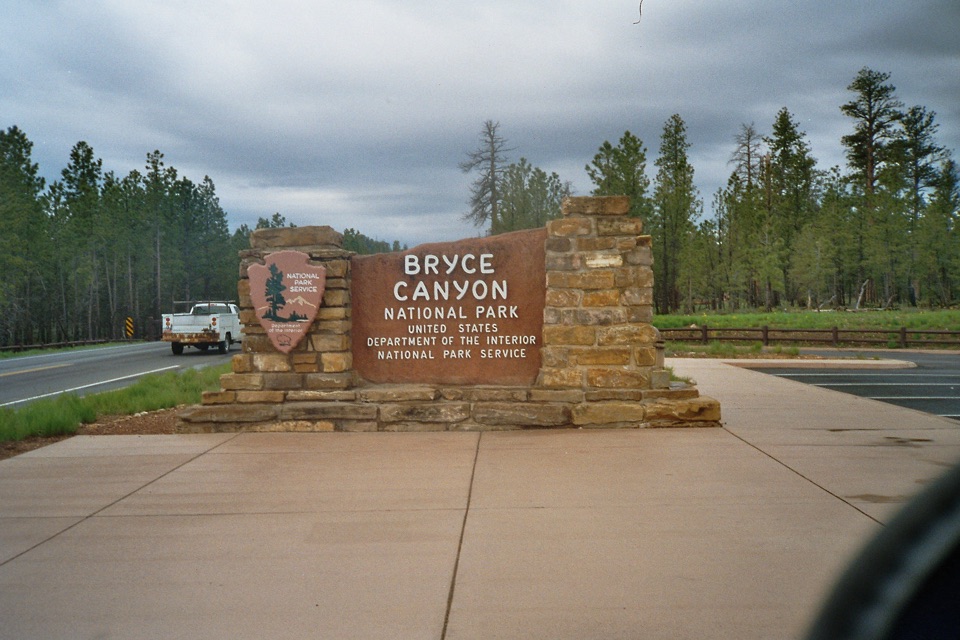 Sight · 0.9 mi awayBryce Canyon Park Entrance SignA quick keepsake photo at the park's stone boundary marker.
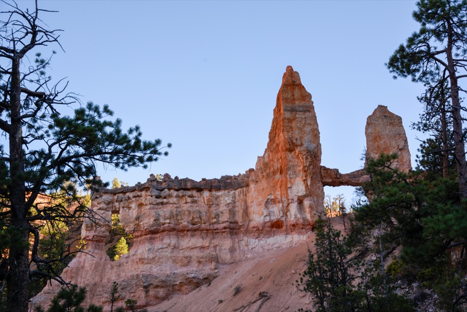 Sight · 1.2 mi awayTower BridgeTwo hoodoo towers linked by a natural bridge beneath the rim.
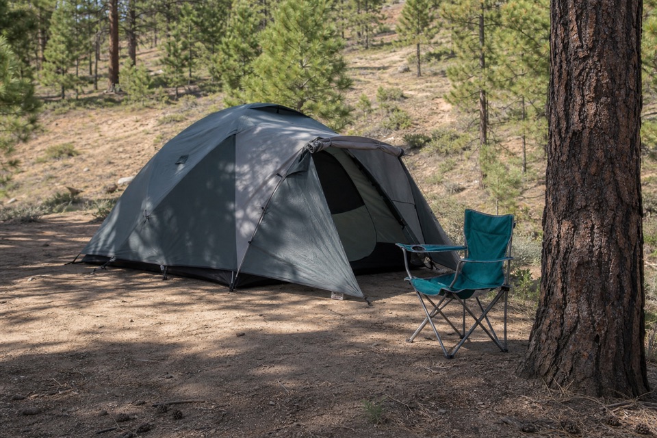 Campground · 1.4 mi awayNorth CampgroundCamp in ponderosa pines across from the Visitor Center.
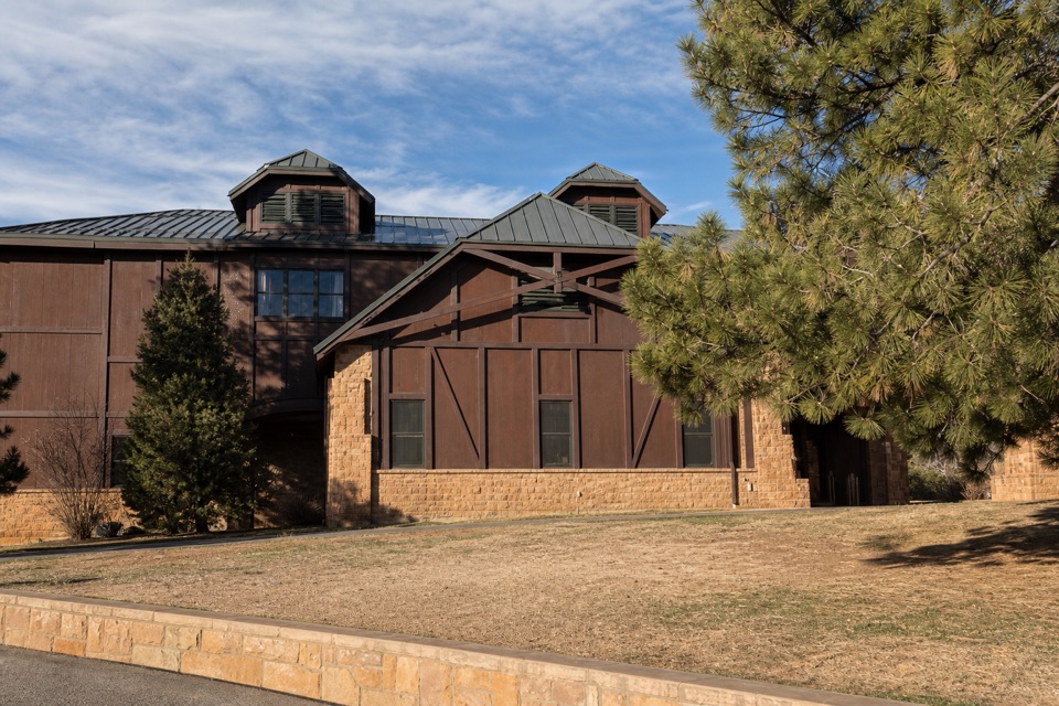 Visitor center · 1.4 mi awayBryce Canyon Visitor CenterGet trail advice, museum exhibits, and the seasonal shuttle here.
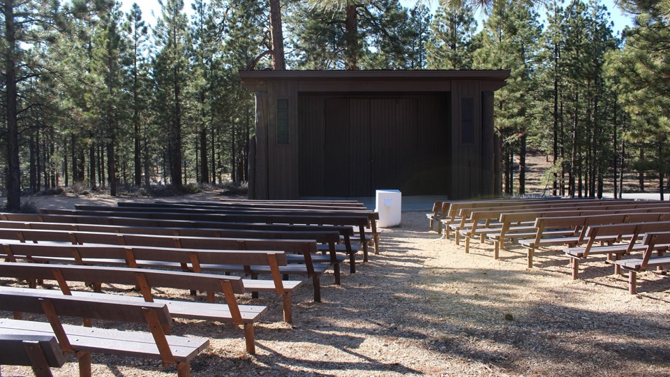 Sight · 1.4 mi awayNorth Campground Outdoor TheaterA warm-season seat for evening ranger programs.
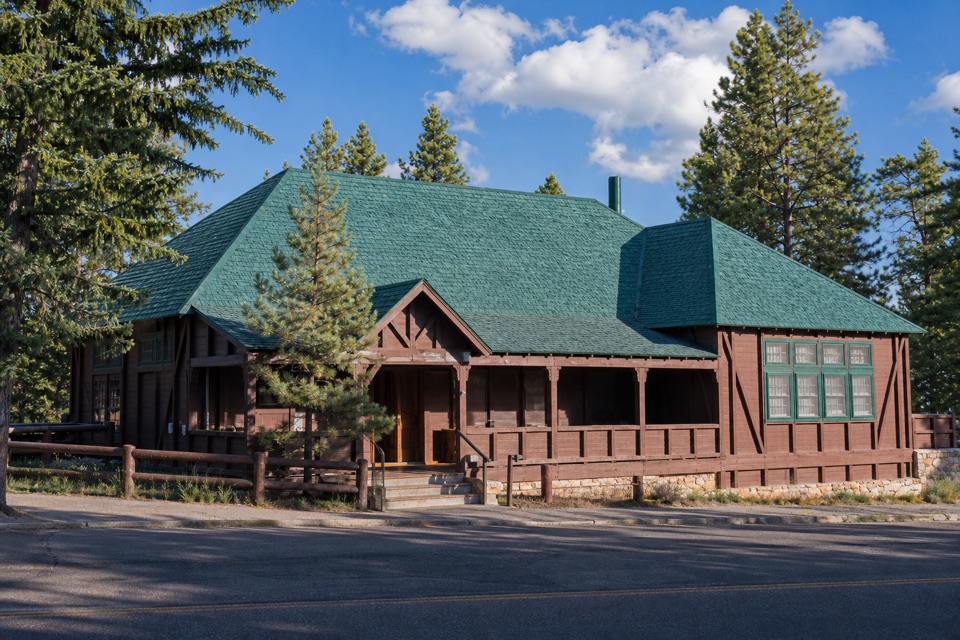 Store · 1.5 mi awayBryce Canyon General StoreQuick food and camping basics in a 1932 timber store.
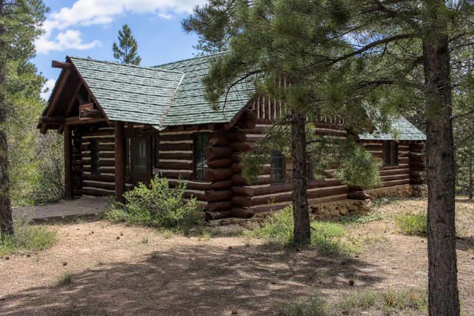 Sight · 1.6 mi awayHigh Plateaus InstituteBryce Canyon’s first administrative center, built in log and stone.
Parkwolf’s Bryce Canyon ranking

The audio tour guide for the drive, plus offline maps, trails, and wildlife heatmaps for when the signal drops.