Parking
Start at Sunrise Point. Sunrise and Sunset lots fill quickly; the free shuttle runs April–October, and vehicles over 20 feet are restricted from amphitheater lots while it operates.
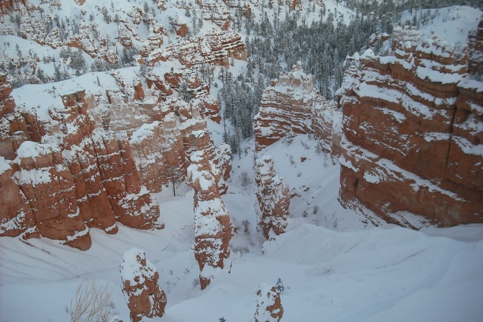
#5 of 24 trails in Bryce Canyon
Bryce Canyon National Park, UT
A long loop links Queen’s Garden, Peekaboo, Navajo, and the rim.
Overview
Map & elevation
Plan your hike

The highest, rockiest slopes around here are a summer buffet for grizzly bears.
Bryce Canyon Tour Guide
Parkwolf is a GPS audio tour guide for Bryce Canyon National Park. As you drive, it chimes in with what’s ahead: hidden gems, upcoming stops, history, geology, and wildlife, right through your car’s speakers.
See the Bryce Canyon audio tourRecorded for this trailhead
Sunrise Point: Pines Above the Hoodoos“You're coming up on Sunrise Point, overlooking the northern end of the amphitheater. After the big view, look for Stilts, a limber pine with roots exposed where the rim has eroded beneath it.”
Plays as you drive up to this trailhead in the Parkwolf Bryce Canyon Tour Guide.
More stories near here in the app
“Super fun and useful app! We especially enjoyed the guide as we drove through Bryce Canyon National Park.”


Trail guide
This 6.4-mile loop links Queen’s Garden, the clockwise Peekaboo Loop, Navajo’s Two Bridges side, and the Rim Trail back to Sunrise Point. It is the long way to see several very different parts of the Bryce Amphitheater in one outing: allow 4–5 hours for 1,575 feet of climbing at about 8,000 feet above sea level. The park rates it strenuous, and the repeated descents and climbs make that rating fair. If you want a shorter day, the 2.9-mile Queen’s Garden and Navajo combination still reaches the amphitheater floor and Thor’s Hammer.
From Sunrise Point, follow Queen’s Garden down into the hoodoos. The open rim view quickly gives way to a close walk among narrow rock spires, with Queen Victoria as the named formation near the lower end. At the junction, follow the connector toward Peekaboo; don’t turn uphill onto Navajo yet. This descent is a good warm-up, but remember that every foot you lose here has to be climbed back out later.
Turn onto Peekaboo and follow it clockwise. The loop rolls through a dense field of hoodoos, dropping into small drainages and climbing back to the next rise, so the effort comes in repeated waves rather than one final ascent. The close-up rock views are the reward for this middle section. Horses and mules also use the trail; move aside and give riders the right of way. The Figure-8 retraces the short Queen’s Garden connector to reach the Navajo junction, so expect a little shared tread.
Take Two Bridges up Navajo. Switchbacks climb between steep, colorful walls; look across the trees and rock towers for Thor’s Hammer, the tall block-topped hoodoo near the upper amphitheater. Two natural bridges give this branch its name. At the rim, turn onto the Rim Trail and follow it from Sunset Point back to Sunrise Point to close the loop. That final stretch is a useful breather after the canyon climbs, with broad views back over the formations you just crossed.
The rocks preserve sediments laid down roughly 50 million years ago in an ancient lake and floodplain basin. The spires are still being carved: water seeps into cracks, freezes, and expands by about nine percent, prying pieces loose. More than 170 nights in a typical year cross the freezing point here. Over time, erosion cuts a plateau into a wall, then windows, then the isolated columns called hoodoos. Walking from the rim among those columns makes that slow sequence unusually easy to see.
Use the Sunrise Point lot for this version. Sunrise and Sunset parking can fill quickly; the free park shuttle runs April through October, and vehicles longer than 20 feet cannot use the amphitheater lots while shuttle service is operating. Sunset Point has year-round restrooms and a water-fill station; Sunrise services are seasonal. Fill water before descending, since the summer-only pit toilet on Peekaboo’s west side is not a water stop.
Deep midwinter snow can make the route inaccessible; check trail conditions before setting out. Two Bridges is the Navajo branch used for this route. Pets are not allowed, though service animals are permitted. The trail is not a gentle rim stroll: expect steep switchbacks, uneven tread, and strenuous climbing at high elevation. Budget time for the full circuit and carry enough water for several hours.
Wildlife
 15 sightingsWapitiMost seen around 6 AMSighting map
 51 sightingsUtah Prairie DogMost seen around 9 AMSighting map
 334 sightingsMule DeerMost seen around 7 AMSighting map
 120 sightingsPronghornMost seen around 6 PMSighting map
 41 sightingsTurkey VultureMost seen around noonSighting map
 44 sightingsWild TurkeyMost seen around 7 AMSighting map
Sighting maps show where each species has been reported across Bryce Canyon. Wildlife moves, so no sighting is guaranteed.
Keep exploring
 ModerateQueen's Garden Trail1.8 mi · 1.5 hr · At the trailheadDrop below the rim to meet Queen Victoria, then climb back out.
 ModerateQueen’s Garden / Navajo Combination Loop2.9 mi · 2.5 hr · At the trailheadSave Navajo’s steep switchbacks for the climb back out.
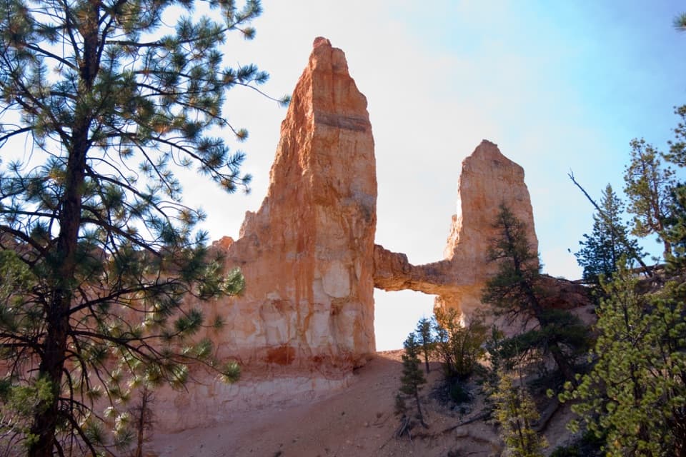 ModerateTower Bridge Trail3 mi · 2.5 hr · 0.3 mi awayDrop below the rim for a natural bridge and the Chinese Wall.
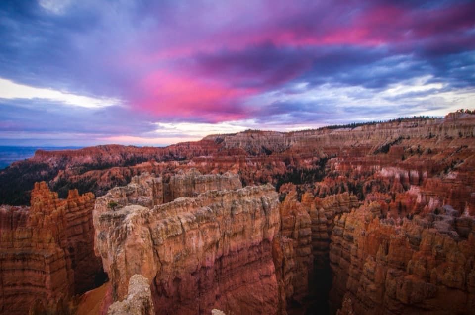 EasySunset Point to Sunrise Point Hike1 mi · 1 hr · 0.4 mi awayA paved half-mile rim walk with Bryce’s classic hoodoo view.
 ModerateNavajo Loop Trail1.3 mi · 1.5 hr · 0.4 mi awayA steep descent to Thor’s Hammer, then a climb back out.
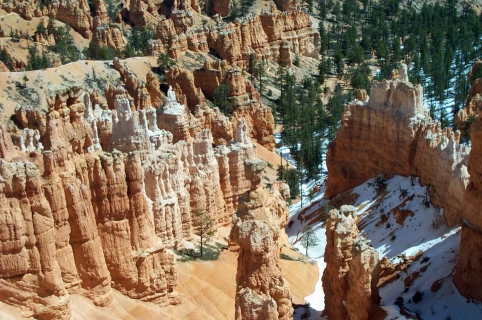 ChallengingNavajo/Peekaboo Combination Loop4.9 mi · 3.5 hr · 0.4 mi awayLink Navajo’s steep switchbacks to a clockwise lap around Peekaboo.
 ChallengingFairyland Loop Trail8 mi · 4.5 hr · 1.7 mi awayA long hoodoo loop with a shady Tower Bridge spur.
 ChallengingBryce Amphitheater Traverse4.7 mi · 3.5 hr · 1.7 mi awayA hoodoo descent, a clockwise trail stretch, and a steep rim climb.
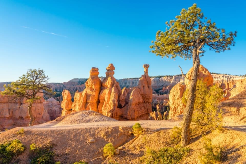 Sight · At the trailheadSunrise PointWalk down to the hoodoos or take in the whole amphitheater.
 Sight · 0.2 mi awayQueen’s GardenA hoodoo garden with Queen Victoria at the end of a spur.
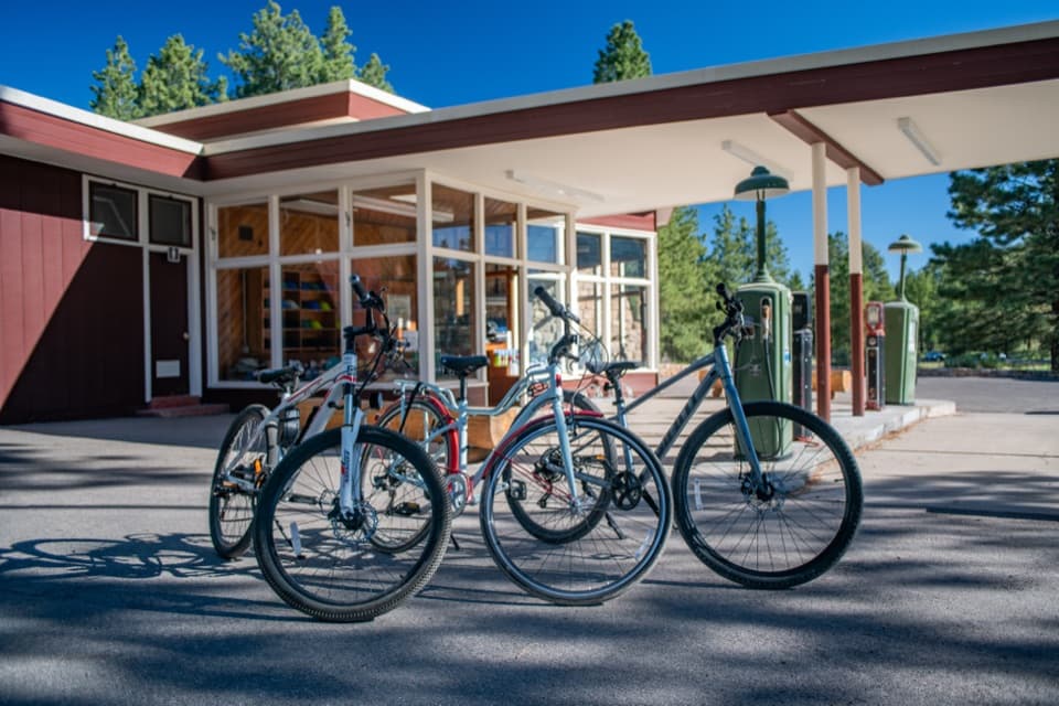 Sight · 0.2 mi awayHistoric Service Station and Bike RentalsRent a bike from a postwar roadside landmark.
 Sight · 0.3 mi awayHigh Plateaus InstituteBryce Canyon’s first administrative center, built in log and stone.
 Lodging · 0.3 mi awayBryce Canyon LodgeHistoric 1925 lodge campus, with the amphitheater rim a short walk away.
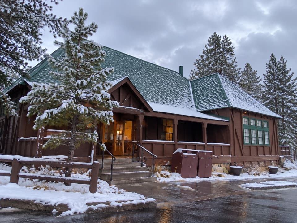 Store · 0.3 mi awayBryce Canyon General StoreQuick food and camping basics in a 1932 timber store.
 Restaurant · 0.4 mi awayValhalla Pizzeria & Coffee ShopCoffee all day; pizza from 11:30, beside the Lodge.
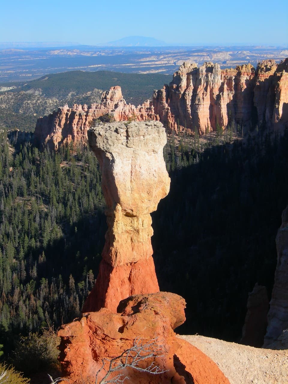 Sight · 0.4 mi awayThor’s HammerA hammer-shaped hoodoo you can spot from the rim.
Parkwolf’s Bryce Canyon ranking

The audio tour guide for the drive, plus offline maps, trails, and wildlife heatmaps for when the signal drops.

