Parking
Start at the Bryce Point trailhead, at the north corner of its parking lot. Oversized vehicles are not permitted in the lot while the park shuttle is operating; the park entrance fee applies.

#4 of 24 trails in Bryce Canyon
Bryce Canyon National Park, UT
Wall of Windows close up; a 1,560-foot climb back to the rim.
Overview
Map & elevation
Plan your hike

The highest, rockiest slopes around here are a summer buffet for grizzly bears.
Bryce Canyon Tour Guide
Parkwolf is a GPS audio tour guide for Bryce Canyon National Park. As you drive, it chimes in with what’s ahead: hidden gems, upcoming stops, history, geology, and wildlife, right through your car’s speakers.
See the Bryce Canyon audio tourRecorded for this trailhead
Bryce Point: The Whole Amphitheater“You're approaching Bryce Point, where you can look across the whole hoodoo-filled amphitheater. Keep this stop if you want to see how the rows of towers fit together.”
Plays as you drive up to this trailhead in the Parkwolf Bryce Canyon Tour Guide.
More stories near here in the app
“Super fun and useful app! We especially enjoyed the guide as we drove through Bryce Canyon National Park.”


Trail guide
Peekaboo Loop is a 5.5-mile round-trip hike from Bryce Point, dropping into a loop among Bryce Canyon’s hoodoos before climbing back to the rim. Do it if you want to walk inside the formations rather than take them in only from an overlook. Allow three to four hours. The approach drops 670 feet to the loop, and the complete walk gains about 1,560 feet, so this is a strenuous half-day hike. The park recommends going clockwise. This is the standalone Bryce Point route, not the shorter Navajo/Peekaboo combination that starts from a different trailhead.
From Bryce Point the trail loses height quickly on the way to the circuit. Once you’re among the hoodoos, the path winds below Bryce and Inspiration points, changing direction around fins and narrow rock walls. The loop itself has plenty of short ups and downs, but the biggest effort comes on the climb back to Bryce Point: you have to regain the height you gave up at the start. Take your time on the descent too; it makes the return climb feel longer if you spend all your energy early.
A man-made arch leads into a small grotto, then short switchbacks drop you to the base of the Wall of Windows, where the rock openings loom close beside the trail. Look up from there and you can see grottos cut into the cliffs. The route also passes the Three Wisemen, The Organ and The Cathedral, with long views east toward Aquarius Plateau, Canaan Mountain and Kaiparowits Plateau. At the Wall of Windows, frame the hoodoos through one of the natural openings; it gives the towers scale and makes a more distinctive picture than another close shot of orange rock.
Bryce is known for having the world’s largest collection of hoodoos. These towers formed in layers of rock that weather at different rates. Rain and snowmelt open cracks; when water freezes inside them, it widens the breaks, and erosion gradually separates the rock into fins, windows and columns. That process is still at work, which is why the formations are fragile. Stay on the trail and leave the rock where it is.
Horses and mules share parts of the route, especially in summer. Give riders the right of way and follow their directions at narrow spots. There is no water along the trail; the only listed toilet is a seasonal pit toilet on the west side of the loop. Pets aren’t allowed, though service animals are. Start at Bryce Point; oversized vehicles can’t use its lot while the park shuttle is operating. The park entrance fee applies.
Wildlife
 15 sightingsWapitiMost seen around 6 AMSighting map
 51 sightingsUtah Prairie DogMost seen around 9 AMSighting map
 334 sightingsMule DeerMost seen around 7 AMSighting map
 120 sightingsPronghornMost seen around 6 PMSighting map
 41 sightingsTurkey VultureMost seen around noonSighting map
 44 sightingsWild TurkeyMost seen around 7 AMSighting map
Sighting maps show where each species has been reported across Bryce Canyon. Wildlife moves, so no sighting is guaranteed.
Keep exploring
 ChallengingHat Shop Trail4 mi · 3.5 hr · At the trailheadA steep descent to gray-capped hoodoos, then the climb back.
 ChallengingBryce Amphitheater Traverse4.7 mi · 3.5 hr · At the trailheadA hoodoo descent, a clockwise trail stretch, and a steep rim climb.
 ModerateThe Rim Trail5.5 mi · 3.5 hr · At the trailheadFive and a half rim miles link Bryce Amphitheater’s big overlooks.
 ModerateNavajo Loop Trail1.3 mi · 1.5 hr · 1.4 mi awayA steep descent to Thor’s Hammer, then a climb back out.
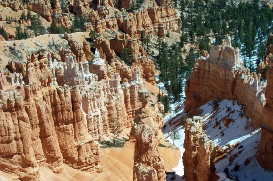 ChallengingNavajo/Peekaboo Combination Loop4.9 mi · 3.5 hr · 1.4 mi awayLink Navajo’s steep switchbacks to a clockwise lap around Peekaboo.
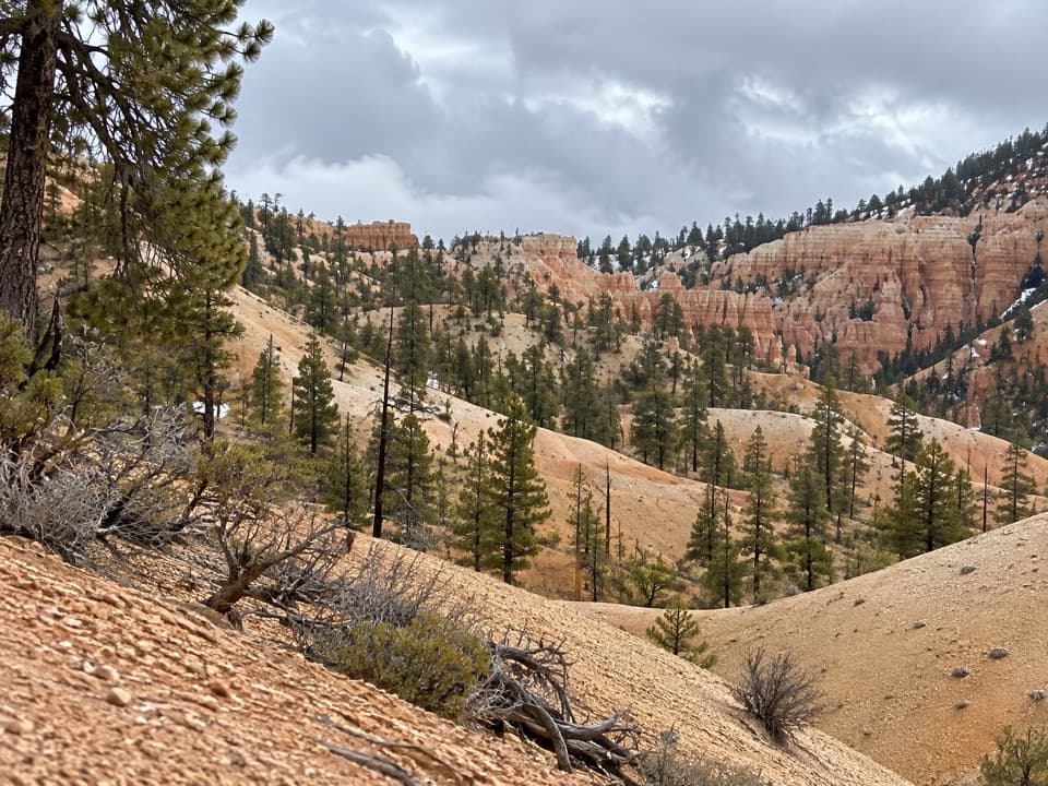 ModerateTropic Trail3.5 mi · 2 hr · 1.4 mi awayA quieter, below-rim way into the amphitheater.
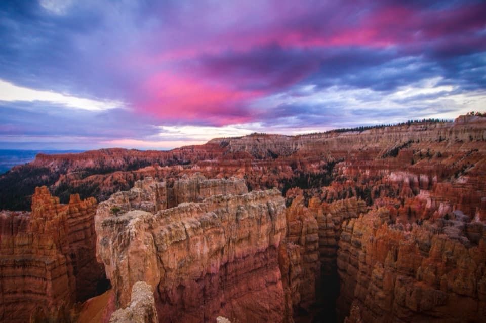 EasySunset Point to Sunrise Point Hike1 mi · 1 hr · 1.5 mi awayA paved half-mile rim walk with Bryce’s classic hoodoo view.
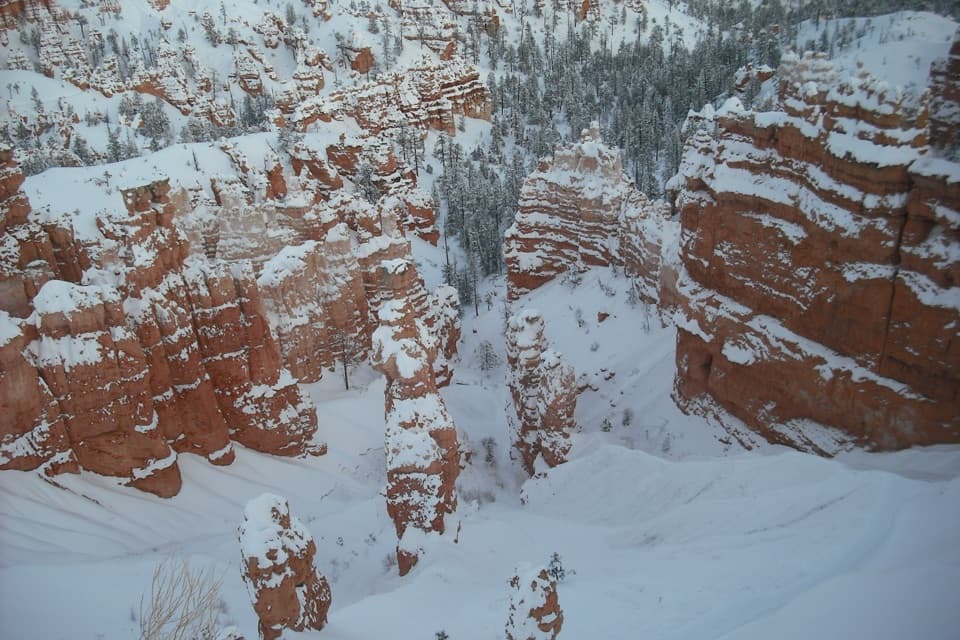 ChallengingFigure-8 Combination6.4 mi · 4.5 hr · 1.7 mi awayA long loop links Queen’s Garden, Peekaboo, Navajo, and the rim.
 Sight · 0.1 mi awayBryce PointA sweeping view across the hoodoo amphitheater from its southern rim.
 Restroom · 0.3 mi awayPeekaboo Loop RestroomA seasonal pit toilet on the west side of Peekaboo Loop.
 Sight · 0.4 mi awayWall of WindowsA close-up of this limestone fin comes with a full hike.
 Sight · 1 mi awayParia ViewA quieter overlook above Yellow Creek’s 500-foot amphitheater
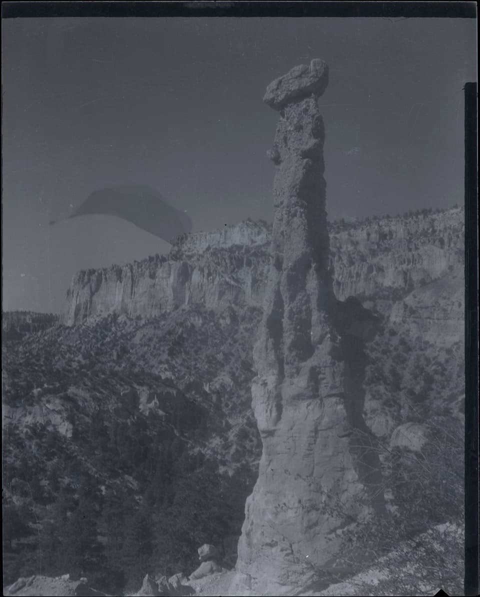 Sight · 1.1 mi awayHat ShopA demanding hike ends at strangely capped orange hoodoos.
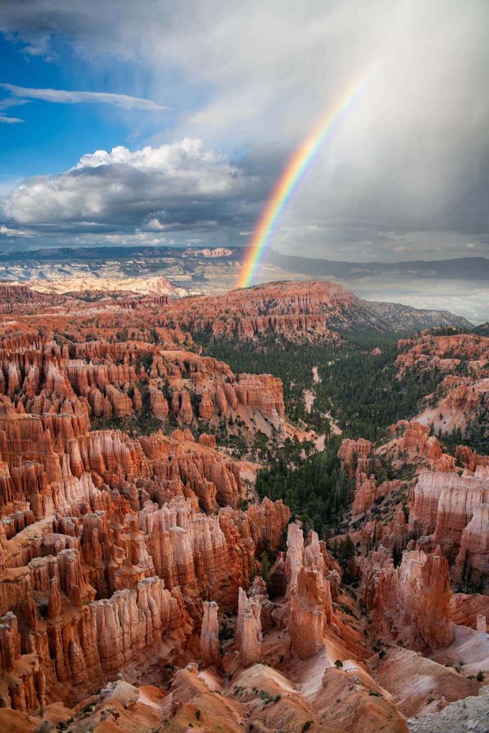 Sight · 1.1 mi awayInspiration PointThree levels offer different angles over the hoodoo amphitheater.
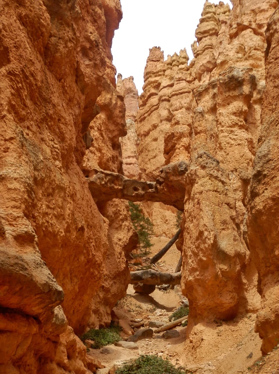 Sight · 1.3 mi awayTwo BridgesTwo rock spans tuck into a narrow, red-walled Navajo Loop canyon.
 Sight · 1.3 mi awayWall StreetA tight-walled walk through hoodoos and towering Douglas-firs.
Parkwolf’s Bryce Canyon ranking

The audio tour guide for the drive, plus offline maps, trails, and wildlife heatmaps for when the signal drops.


