Queen’s Garden / Navajo Combination Loop in Bryce Canyon National Park

#1 of 24 trails in Bryce Canyon

Bryce Canyon National Park, UT

Queen’s Garden / Navajo Combination Loop

Save Navajo’s steep switchbacks for the climb back out.

Photo: Wikimedia Commons
Length
2.9mi
Time
2.5hr
Elev. change
541ft
Difficulty
Moderate
  • Loop
  • No dogs
  • High point 8,005 ft

Hear the audio tour

Sunrise Point: Pines Above the Hoodoos

Overview

About Queen’s Garden / Navajo Combination Loop

Why go

  • Walk among Bryce’s hoodoos instead of seeing them only from the rim.
  • The clockwise route saves the steeper Navajo switchbacks for the climb.

Heads up

  • A long descent is followed by a steady climb at high elevation.
  • The popular Sunrise and Sunset lots fill quickly.

Map & elevation

The route

Loading the Bryce Canyon map
Full map
Elevation7,464–8,005 ft
TrailheadSunrise Point / Queen’s Garden Trailhead37.62844, -112.16296
Keep this map with you offline in the Parkwolf app

Plan your hike

Before you go

Parking

Start at Sunrise Point / Queen’s Garden Trailhead. Parking is also available at Sunset Point, and both lots fill quickly. The free park shuttle runs April through October; during shuttle hours, vehicles over 20 feet (6 m) cannot park in the Bryce Amphitheater area.

Safety

This route drops into the amphitheater and climbs about 625 feet back out at roughly 8,000 feet elevation. Navajo has steep switchbacks; the park recommends climbing them rather than descending. There is no water or restroom service in the canyon. Pets are prohibited on the unpaved trail sections; they may use the paved Sunset–Sunrise Rim Trail only.

3 active Bryce Canyon alerts

  • ClosureTrail closures due to recent weather eventWall Street and the Bryce Connector Trail to Peekaboo Loop are closed until further notice because of a recent weather event. - Do not enter these closed trails.Official details
  • CautionCurrent fire restrictionsFires are allowed only in established fire pits throughout Bryce Canyon National Park.Official details
See all 3 alerts
A park ranger sits on a dash-mounted phone, talking, as Parkwolf’s Tour Guide plays “Army Cutworm Moths: A Grizzly Bear Buffet” on Grand Loop Road below Dunraven Pass in Yellowstone
Parkwolf Tour GuideThe highest, rockiest slopes around here are a summer buffet for grizzly bears.

Bryce Canyon Tour Guide

Your drive to Queen’s Garden / Navajo Combination Loop, narrated.

Parkwolf is a GPS audio tour guide for Bryce Canyon National Park. As you drive, it chimes in with what’s ahead: hidden gems, upcoming stops, history, geology, and wildlife, right through your car’s speakers.

Recorded for this trailhead

Sunrise Point: Pines Above the Hoodoos
0:00 / 0:33
“You're coming up on Sunrise Point, overlooking the northern end of the amphitheater. After the big view, look for Stilts, a limber pine with roots exposed where the rim has eroded beneath it.”

Plays as you drive up to this trailhead in the Parkwolf Bryce Canyon Tour Guide.

More stories near here in the app

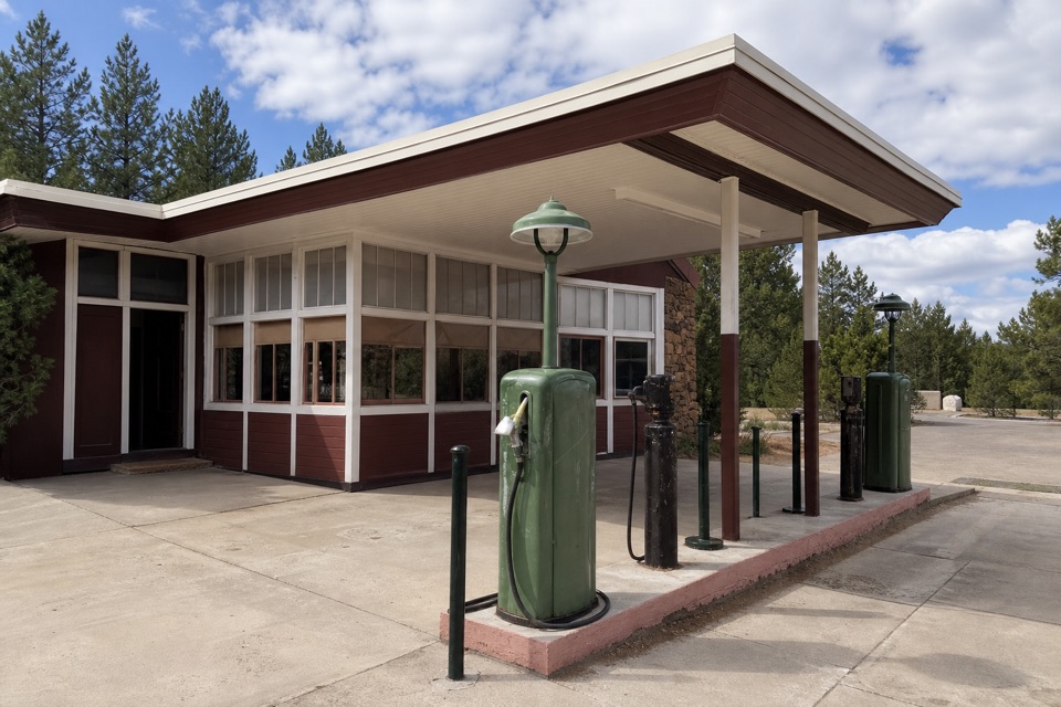
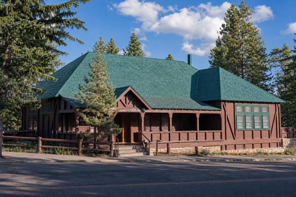
  • Bryce Canyon General Store and the Old Service Station
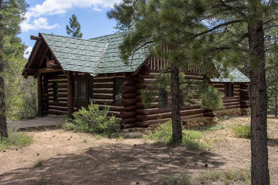
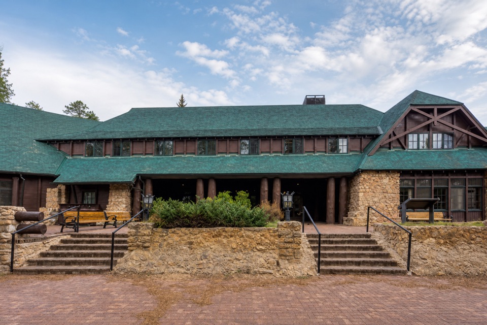
  • Bryce Canyon Lodge: History and a Meal
  • Sunset Point and Thor's Hammer
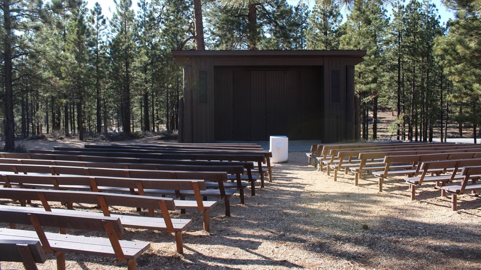
  • North Campground and the Outdoor Theater
  • 30 audio storiesacross Bryce Canyon’s roads, triggered by GPS as you drive
  • Wildlife heatmapsfor Wapiti, Utah Prairie Dog, Mule Deer, and 13 more
  • Works offlinemaps, 24 trails, 41 places, and audio download before you lose signal
  • CarPlay readysimple controls built for the drive
★★★★★
“Super fun and useful app! We especially enjoyed the guide as we drove through Bryce Canyon National Park.”
Rae607App Store review
Download Parkwolf on the App StoreGet Parkwolf on Google Play

4.7 from 8,600+ ratings

Trail guide

Hiking Queen’s Garden / Navajo Combination Loop

The classic way through Bryce’s hoodoosQueen’s Garden / Navajo Combination Loop is a 2.

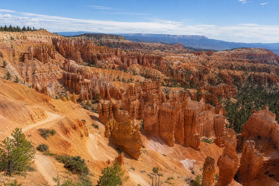
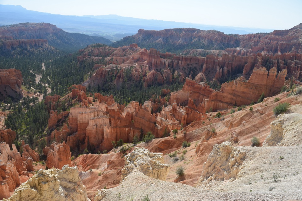
Queen’s Garden / Navajo Combination Loop is a 2.9-mile circuit from Sunrise Point: descend Queen’s Garden, cross the lower amphitheater to Navajo Loop, climb the Two Bridges side to Sunset Point, then take the half-mile Rim Trail back to Sunrise. Allow two to three hours. It’s the route to choose if you want to walk among the formations instead of only looking down at them from the rim. The climb is the work; the payoff is watching the view change as you move from open overlooks to close hoodoo passages.

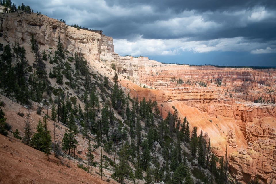
Start at Sunrise and go clockwise. The big amphitheater view stays in front of you on the Queen’s Garden descent, and you climb Navajo’s steeper switchbacks rather than walking down them. The Rim Trail closes the circuit above the canyon; it’s the easy part, but it doesn’t cancel the climb you’ve already done.

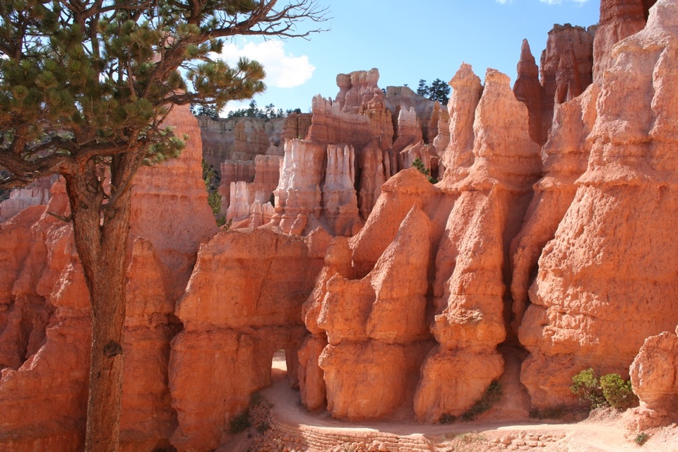
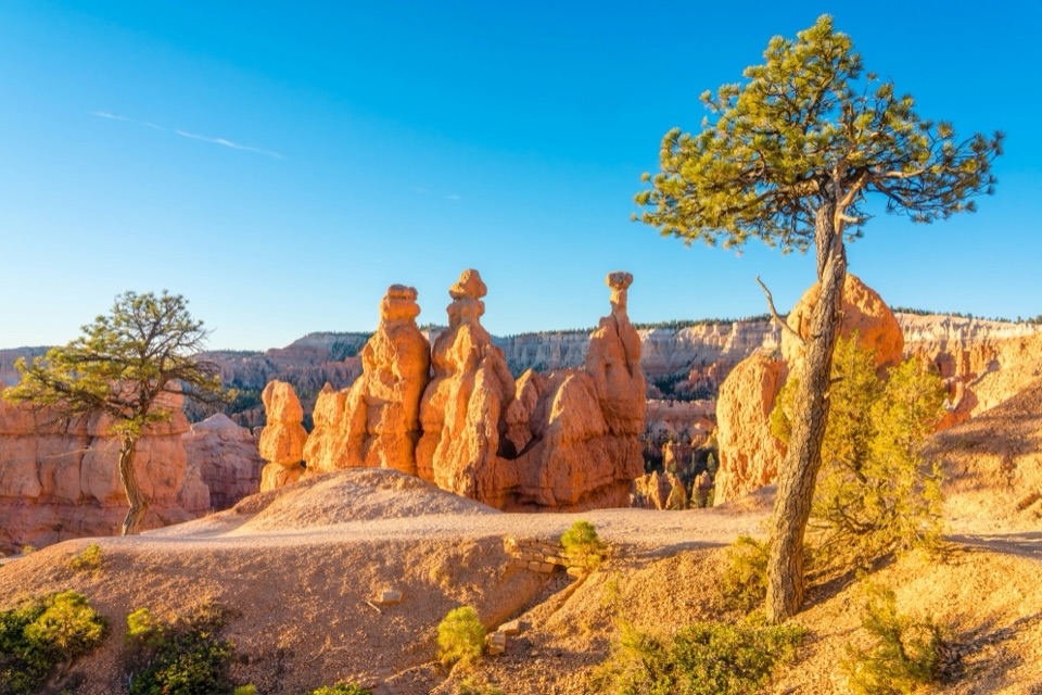
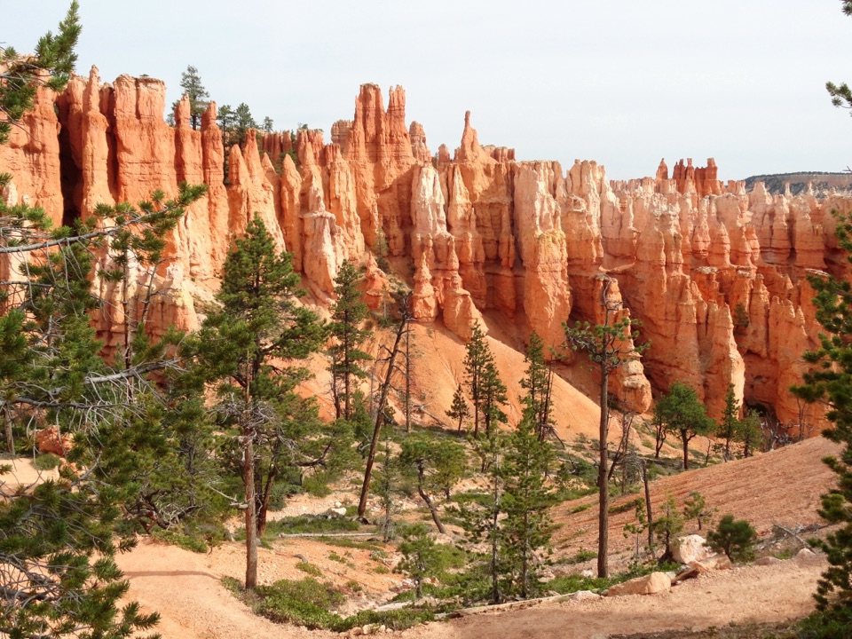
Down Queen’s GardenThe dirt path zigzags off the rim and threads among orange and pale hoodoos.

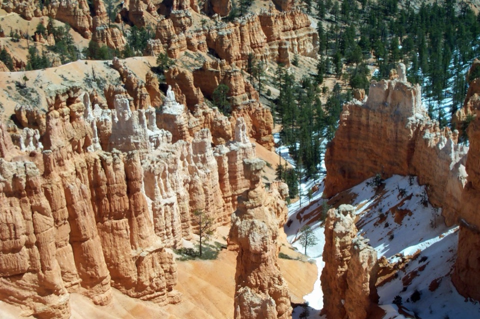
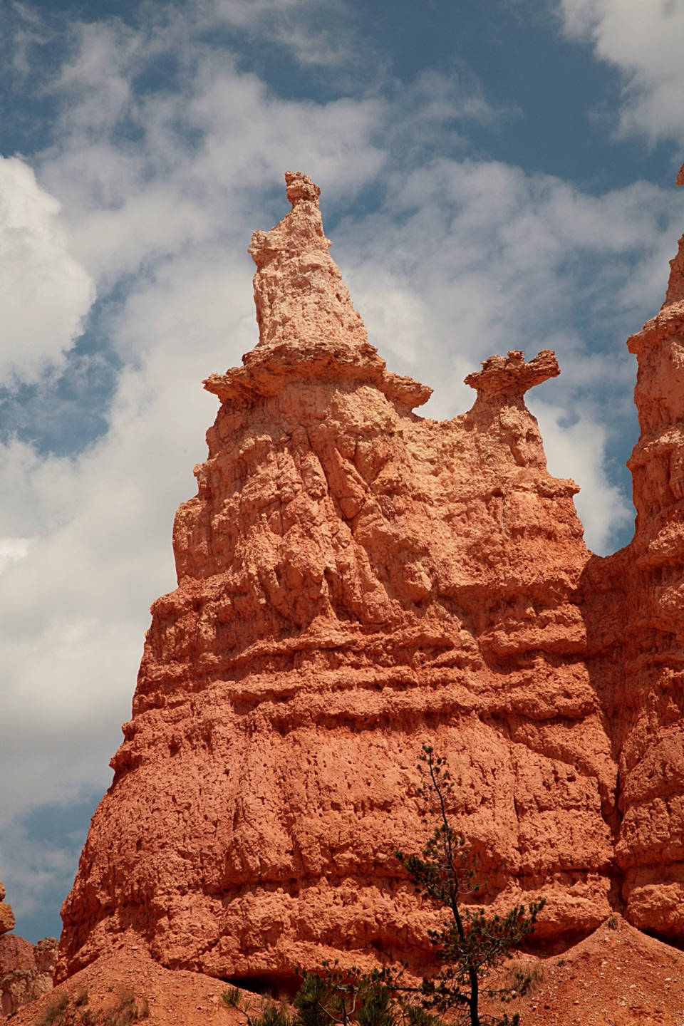
The dirt path zigzags off the rim and threads among orange and pale hoodoos. The view opens across the amphitheater, then the spires crowd closer as you descend. A short side spur reaches the hoodoo called Queen Victoria. It’s a good place to frame the trail with the formations behind it; the path gives the spires a sense of scale. Retrace that spur and continue on the signed connector toward Navajo.

Across the lower amphitheaterThe connector carries you farther through the formations to the Navajo junction.

The connector carries you farther through the formations to the Navajo junction. This stretch makes the combination feel different from Queen’s Garden alone: you cross the bottom of the amphitheater instead of turning around at Queen Victoria. The lower canyon has some tree cover, but don’t count on it for the whole hike. There’s no water or restroom service down here, so use the facilities on the rim before you start.

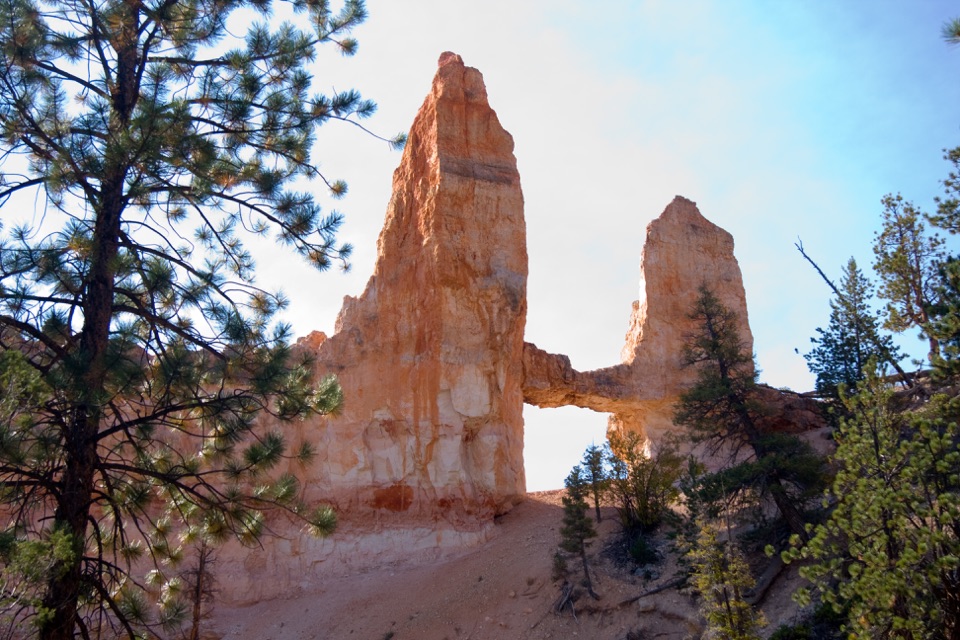
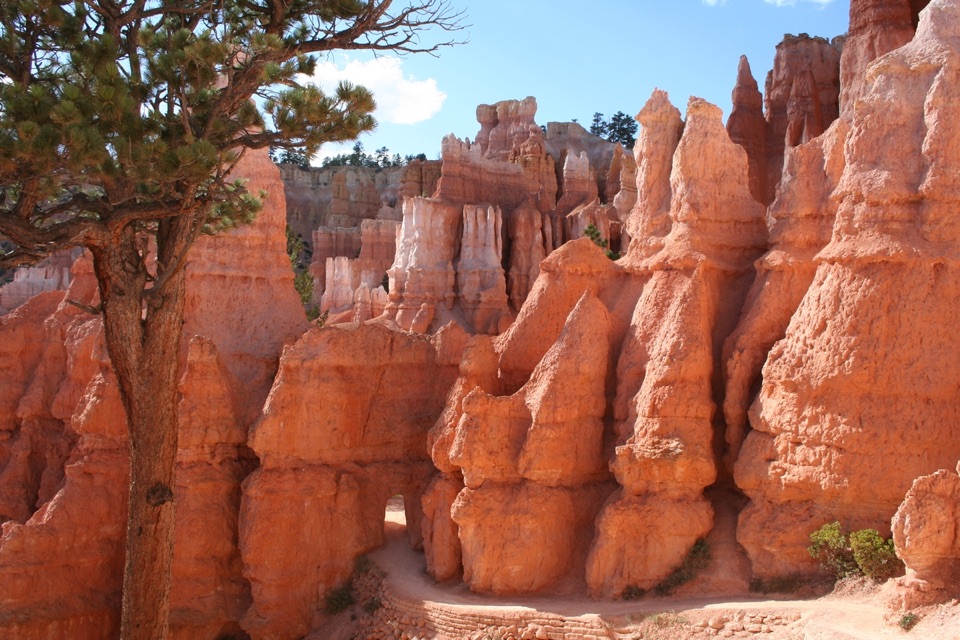
Climb Two Bridges to SunsetTwo Bridges climbs back through narrow, colorful rock walls on a series of steep switchbacks.

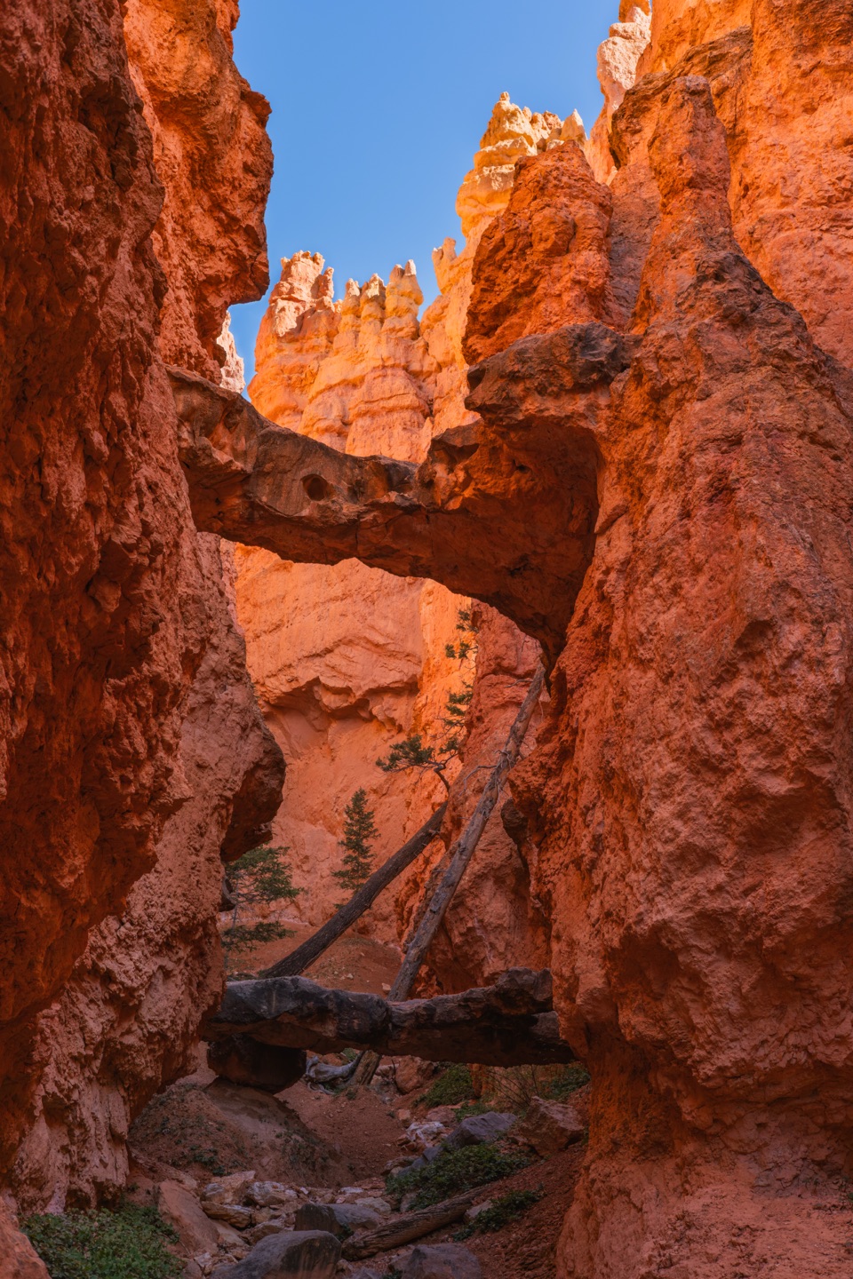
Two Bridges climbs back through narrow, colorful rock walls on a series of steep switchbacks. Douglas-firs break up the orange stone, and Thor’s Hammer comes into view from the rim; a few turns down the trail give you a closer look. Save this section for the climb. The park recommends going up this steeper side because most injuries happen when hikers descend it. At 8,000 feet, even a moderate hike can feel more demanding than the mileage suggests.

How the hoodoos formedThe rocks began as layers of sediment in an ancient lake and floodplain about 50 million years…

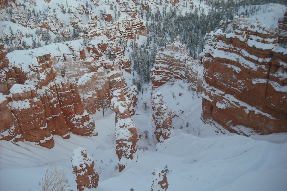
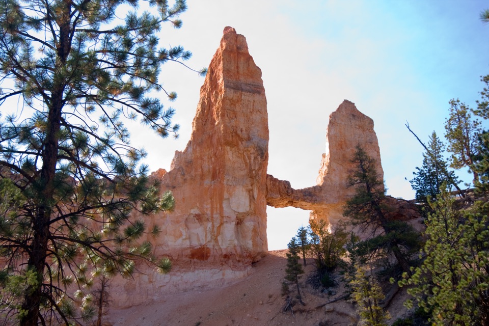
The rocks began as layers of sediment in an ancient lake and floodplain about 50 million years ago. Uplift raised them into the plateau; since then, water freezing in cracks has split the rock into walls, windows, and separate spires. Slightly acidic rain also dissolves the mineral cement holding the layers together. Those two forces are why the trail moves through both narrow walls and isolated hoodoos, often within a few minutes of each other.

Parking, pets, and a shorter optionParking is available at Sunrise and Sunset Points, but both lots fill quickly.

Parking is available at Sunrise and Sunset Points, but both lots fill quickly. The free park shuttle runs April through October; during shuttle hours, vehicles over 20 feet can’t park in the Bryce Amphitheater area. Rim facilities are your last stop for water and restrooms before descending. Pets aren’t allowed on the unpaved trail sections; they can use the paved Rim Trail between Sunset and Sunrise, but not this full loop.

If the Navajo climb sounds like too much, Queen’s Garden alone is a 1.8-mile round trip to Queen Victoria and back, with about 450 feet of climbing. You still get the hoodoo walk and the named formation, then return by the same route instead of crossing the canyon and climbing out at Sunset.

Wildlife

Wildlife in Bryce Canyon

All Bryce Canyon wildlife maps

Sighting maps show where each species has been reported across Bryce Canyon. Wildlife moves, so no sighting is guaranteed.

Keep exploring

Near Queen’s Garden / Navajo Combination Loop

See it all on the map

Trails that start nearby

Places near the trailhead

Parkwolf’s Bryce Canyon ranking

Top-rated trails in Bryce Canyon

All 24 trails
  1. 2Navajo Loop TrailModerate · 1.3 mi
  2. 3Fairyland Loop TrailChallenging · 8 mi
  3. 4Peekaboo Loop TrailChallenging · 5.5 mi
  4. 5Figure-8 CombinationChallenging · 6.4 mi
  5. 6Queen's Garden TrailModerate · 1.8 mi
  6. 7The Rim TrailModerate · 5.5 mi

Take Parkwolf to Bryce Canyon.

The audio tour guide for the drive, plus offline maps, trails, and wildlife heatmaps for when the signal drops.

4.7 from 8,600+ ratings

Download Parkwolf on the App StoreGet Parkwolf on Google Play