Bryce Amphitheater Traverse in Bryce Canyon National Park

#10 of 24 trails in Bryce Canyon

Bryce Canyon National Park, UT

Bryce Amphitheater Traverse

A hoodoo descent, a clockwise trail stretch, and a steep rim climb.

Photo: National Park Service
Length
4.7mi
Time
3.5hr
Elev. change
801ft
Difficulty
Challenging
  • No dogs
  • High point 8,215 ft

Hear the audio tour

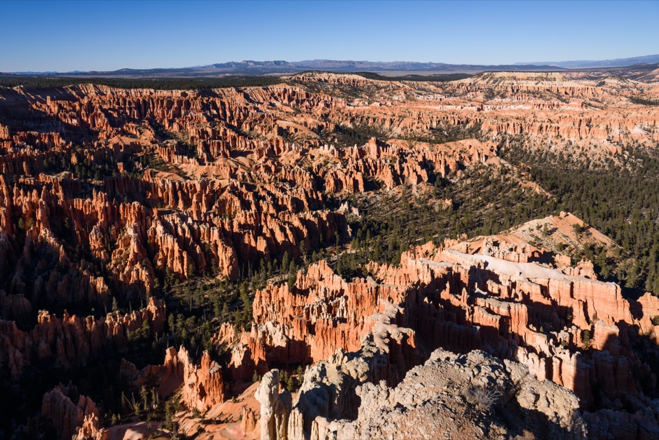
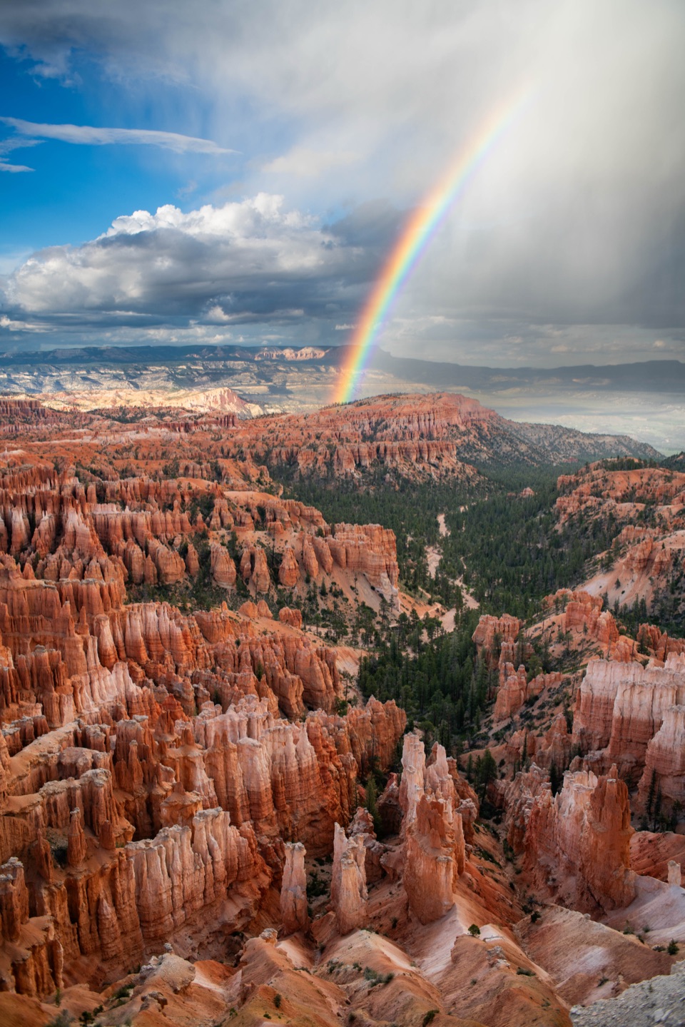
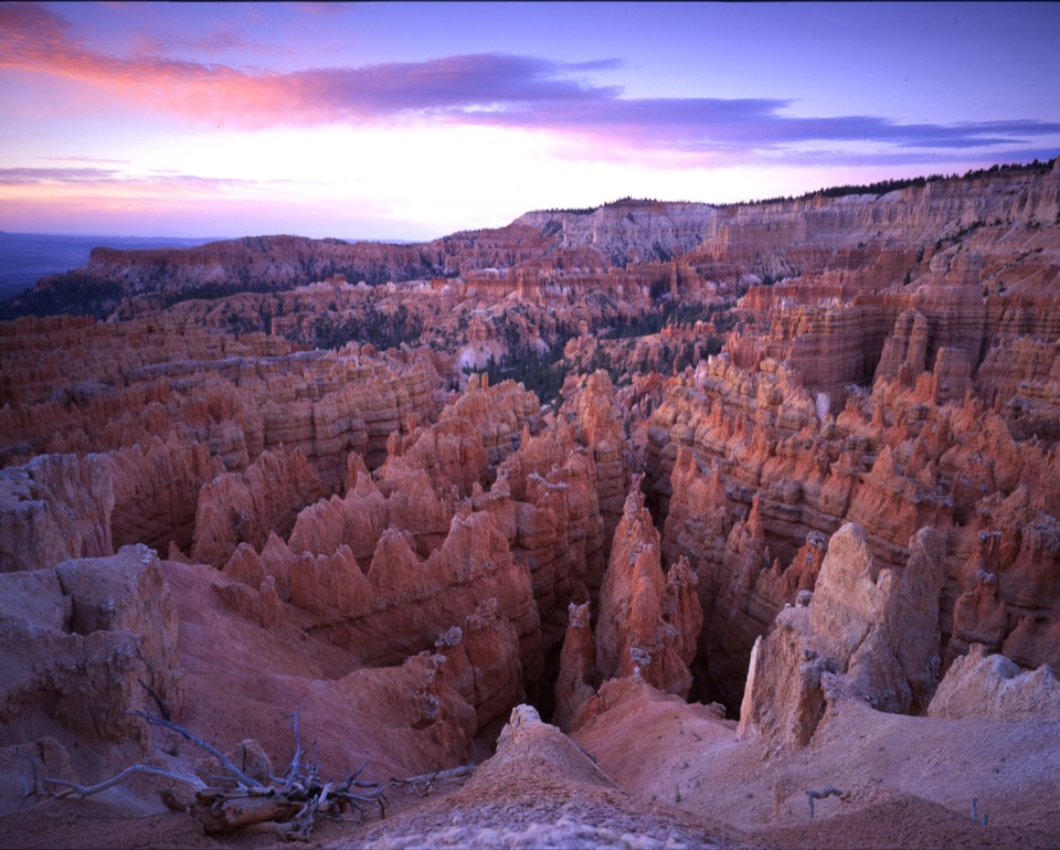
Bryce Point: The Whole Amphitheater

Overview

About Bryce Amphitheater Traverse

Why go

  • Walks below the rim among the hoodoos and Wall of Windows.
  • Combines a dramatic descent with a different Queen’s Garden climb.

Heads up

  • Strenuous grades and 1,145 feet of ascent.
  • Point-to-point logistics; horses and mules share the Peekaboo section.

Map & elevation

The route

Loading the Bryce Canyon map
Full map
Elevation7,415–8,215 ft
TrailheadBryce Point37.60436, -112.15683
Keep this map with you offline in the Parkwolf app

Plan your hike

Before you go

Parking

Park at Bryce Point. The amphitheater shuttle connects Bryce Point and Sunrise Point in its April–October season; outside that season, arrange a second vehicle or add the separate 3.2-mile Rim Trail return. Oversized vehicles are restricted at Bryce Point while the shuttle operates.


Safety

Steep grades reach 27% on Peekaboo and 25% on Queen’s Garden. Horses and mules use Peekaboo; yield to riders. Midwinter snow can make the route inaccessible. Pets are prohibited.

3 active Bryce Canyon alerts

  • ClosureTrail closures due to recent weather eventWall Street and the Bryce Connector Trail to Peekaboo Loop are closed until further notice because of a recent weather event. - Do not enter these closed trails.Official details
  • CautionCurrent fire restrictionsFires are allowed only in established fire pits throughout Bryce Canyon National Park.Official details
See all 3 alerts
A park ranger sits on a dash-mounted phone, talking, as Parkwolf’s Tour Guide plays “Army Cutworm Moths: A Grizzly Bear Buffet” on Grand Loop Road below Dunraven Pass in Yellowstone
Parkwolf Tour GuideThe highest, rockiest slopes around here are a summer buffet for grizzly bears.

Bryce Canyon Tour Guide

Your drive to Bryce Amphitheater Traverse, narrated.

Parkwolf is a GPS audio tour guide for Bryce Canyon National Park. As you drive, it chimes in with what’s ahead: hidden gems, upcoming stops, history, geology, and wildlife, right through your car’s speakers.

Recorded for this trailhead

Bryce Point: The Whole Amphitheater
0:00 / 0:35
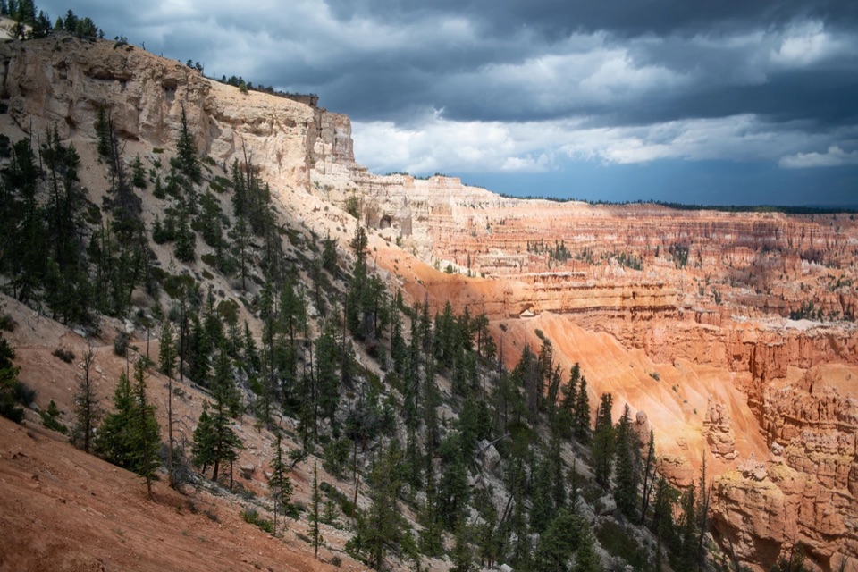
“You're approaching Bryce Point, where you can look across the whole hoodoo-filled amphitheater. Keep this stop if you want to see how the rows of towers fit together.”

Plays as you drive up to this trailhead in the Parkwolf Bryce Canyon Tour Guide.

More stories near here in the app

  • Paria View: A Mountain on the Horizon
  • Inspiration Point: Three Levels of Views
  • Sunset Point and Thor's Hammer
  • Sunset Campground: A Base Near the Rim
  • 30 audio storiesacross Bryce Canyon’s roads, triggered by GPS as you drive
  • Wildlife heatmapsfor Wapiti, Utah Prairie Dog, Mule Deer, and 13 more
  • Works offlinemaps, 24 trails, 41 places, and audio download before you lose signal
  • CarPlay readysimple controls built for the drive
★★★★★
“Super fun and useful app! We especially enjoyed the guide as we drove through Bryce Canyon National Park.”
Rae607App Store review
Download Parkwolf on the App StoreGet Parkwolf on Google Play

4.7 from 8,600+ ratings

Trail guide

Hiking Bryce Amphitheater Traverse

What you are signing up forThe Bryce Amphitheater Traverse is a 4.

The Bryce Amphitheater Traverse is a 4.7-mile point-to-point hike from Bryce Point to Sunrise Point. It drops into the hoodoo amphitheater, follows the clockwise portion of Peekaboo Loop, then climbs Queen’s Garden back to the rim. It suits a longer half-day when you want to walk among the formations and can plan a one-way finish. Allow 3–4 hours; treat it as strenuous, with 1,145 feet of ascent. No hiking reservation or activity fee is listed; park entrance fees may apply.

Down from Bryce Point and into PeekabooTake the descent from Bryce Point; when it reaches Peekaboo Loop, turn left and go clockwise.

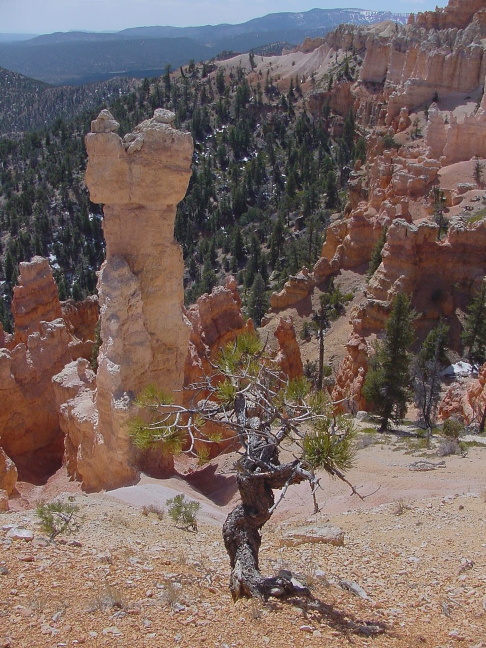
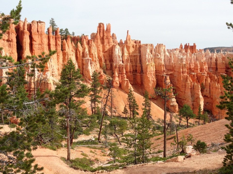
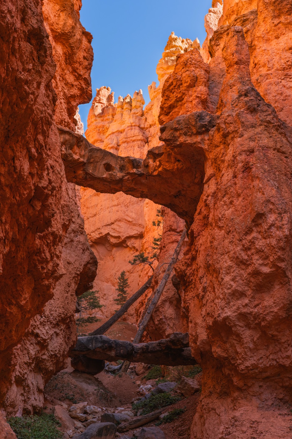
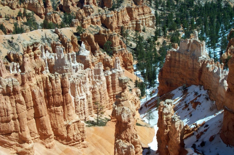
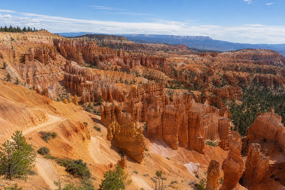
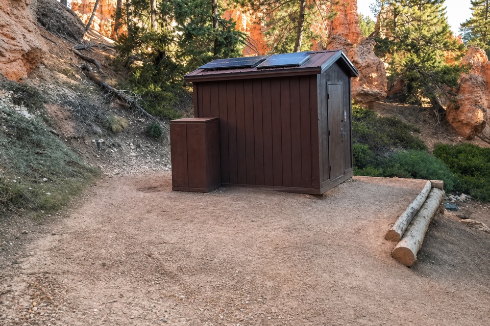
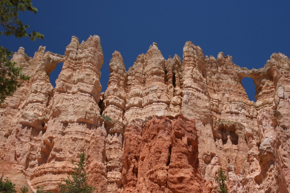
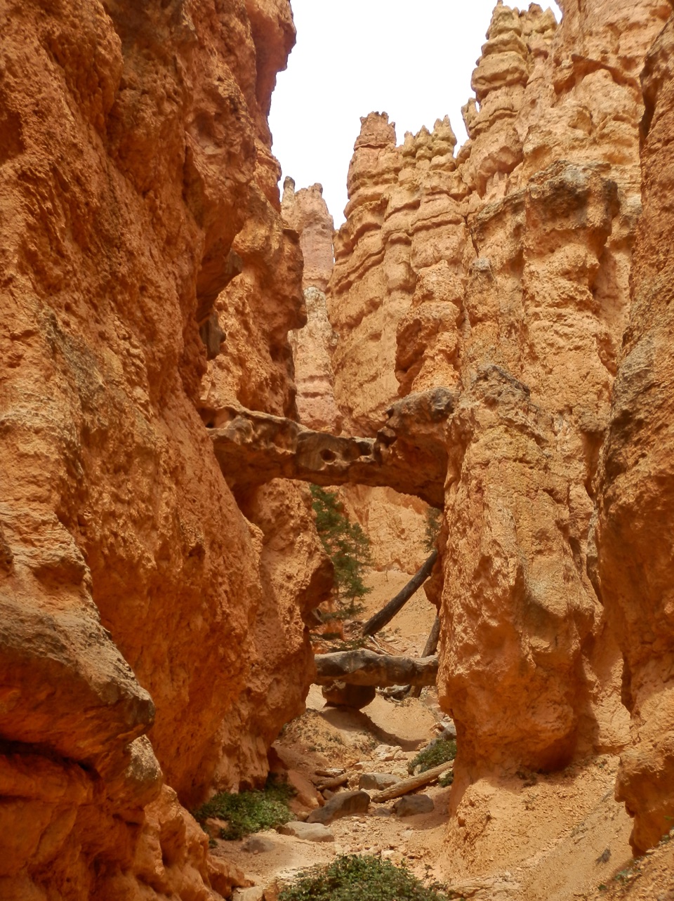
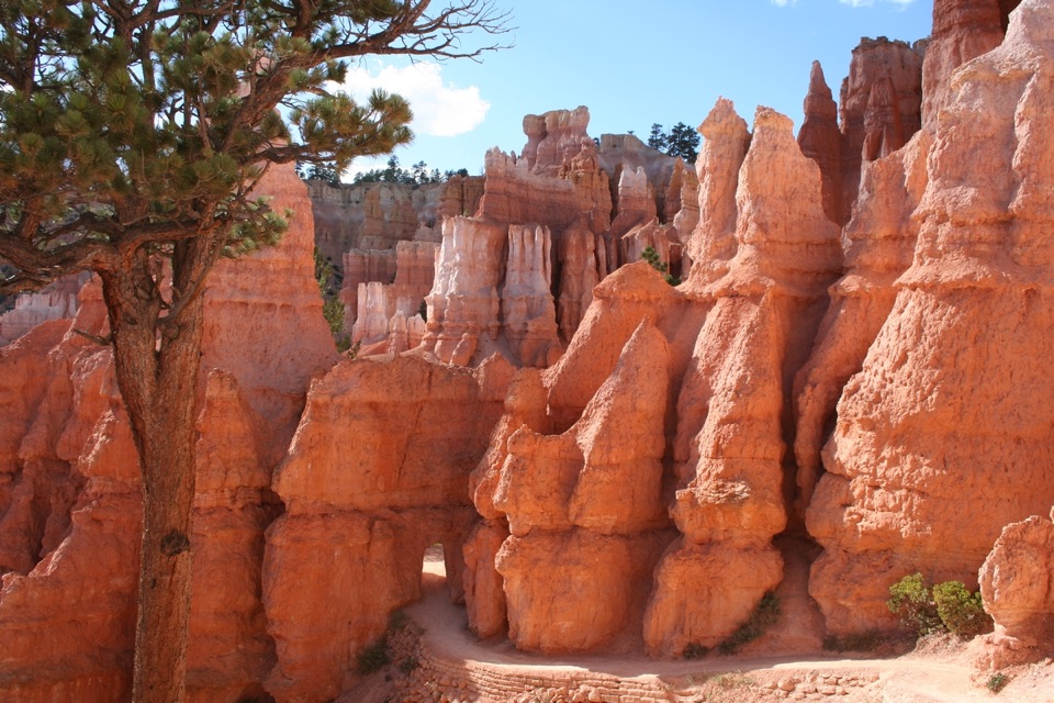
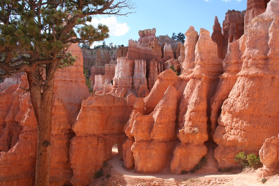
Take the descent from Bryce Point; when it reaches Peekaboo Loop, turn left and go clockwise. The route moves among the hoodoo walls and passes the Wall of Windows, where you can frame a bend of trail with the rock openings for scale. The tread is firm native sediment, but the grades are sharp: Peekaboo reaches a listed maximum of 27%. Horses and mules use this section, so give riders the right-of-way. Summer-only pit toilets are on Peekaboo’s west side; the route’s listed services do not include drinking water.

Climb out on Queen’s GardenA connector leads from Peekaboo to Queen’s Garden, then the trail climbs to Sunrise Point.

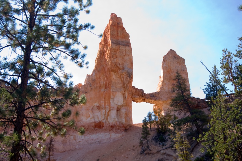
A connector leads from Peekaboo to Queen’s Garden, then the trail climbs to Sunrise Point. Queen’s Garden reaches a listed maximum grade of 25%, so save some strength for the climb after the descent and loop. Queen Victoria is reached by a short side spur; it is an optional detour and is not included in the mapped traverse. Sunrise Point is the finish, not a return to Bryce Point.

Plan the one-way finishBryce Point parking is at the start.

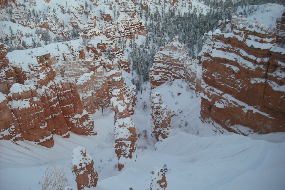
Bryce Point parking is at the start. The amphitheater shuttle links the start and finish during its April–October season; outside that season, arrange another vehicle or add the 3.2-mile Rim Trail return from Sunrise to Bryce Point; that walk is extra. Oversized vehicles cannot park at Bryce Point while the shuttle operates. Midwinter snow can make the traverse inaccessible, so check park conditions before a winter hike.

What shaped the hoodoosThe rock layers that weather into Bryce’s hoodoos began collecting in an ancient lake and…

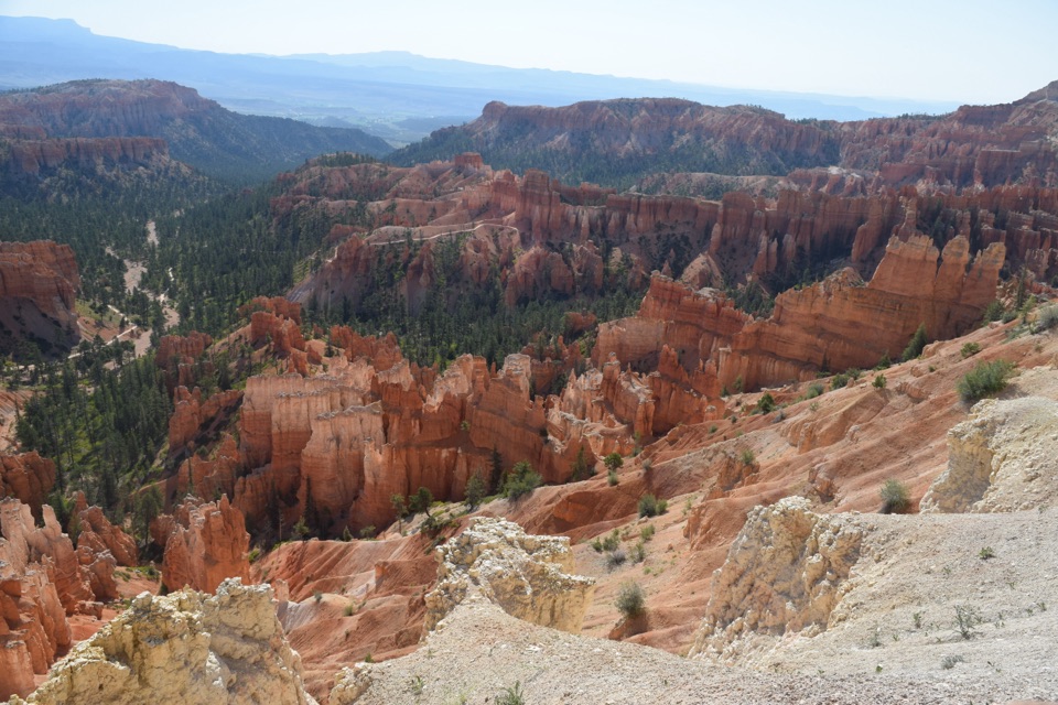
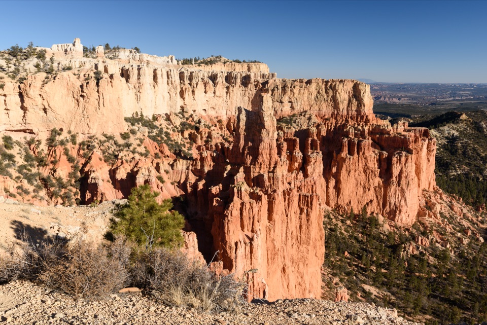
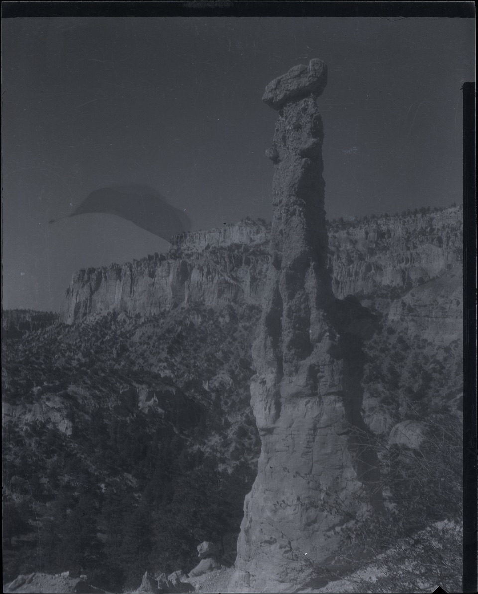
The rock layers that weather into Bryce’s hoodoos began collecting in an ancient lake and floodplain basin about 50 million years ago. Later uplift and erosion, especially from ice and rain, carved the spires and the amphitheater. This route gives you both the overlook scale from the rim and close views from inside the formations.

Wildlife

Wildlife in Bryce Canyon

All Bryce Canyon wildlife maps

Sighting maps show where each species has been reported across Bryce Canyon. Wildlife moves, so no sighting is guaranteed.

Keep exploring

Near Bryce Amphitheater Traverse

See it all on the map

Trails that start nearby

Places near the trailhead

Parkwolf’s Bryce Canyon ranking

Top-rated trails in Bryce Canyon

All 24 trails
  1. 1Queen’s Garden / Navajo Combination LoopModerate · 2.9 mi
  2. 2Navajo Loop TrailModerate · 1.3 mi
  3. 3Fairyland Loop TrailChallenging · 8 mi
  4. 4Peekaboo Loop TrailChallenging · 5.5 mi
  5. 5Figure-8 CombinationChallenging · 6.4 mi
  6. 6Queen's Garden TrailModerate · 1.8 mi

Take Parkwolf to Bryce Canyon.

The audio tour guide for the drive, plus offline maps, trails, and wildlife heatmaps for when the signal drops.

4.7 from 8,600+ ratings

Download Parkwolf on the App StoreGet Parkwolf on Google Play