Parking
Park at Sunset Point. The free shuttle can ease busy parking; oversized vehicles cannot use this lot while shuttle service operates.
#9 of 24 trails in Bryce Canyon
Bryce Canyon National Park, UT
Link Navajo’s steep switchbacks to a clockwise lap around Peekaboo.
Overview
Map & elevation
Plan your hike

The highest, rockiest slopes around here are a summer buffet for grizzly bears.
Bryce Canyon Tour Guide
Parkwolf is a GPS audio tour guide for Bryce Canyon National Park. As you drive, it chimes in with what’s ahead: hidden gems, upcoming stops, history, geology, and wildlife, right through your car’s speakers.
Recorded for this trailhead
Sunset Point and Thor's Hammer“Up ahead is Sunset Point, with a short paved walk to one of the classic hoodoo views. Look below the rim for Thor's Hammer, the narrow orange tower holding a broad cap.”
Plays as you drive up to this trailhead in the Parkwolf Bryce Canyon Tour Guide.
More stories near here in the app
“Super fun and useful app! We especially enjoyed the guide as we drove through Bryce Canyon National Park.”


Trail guide
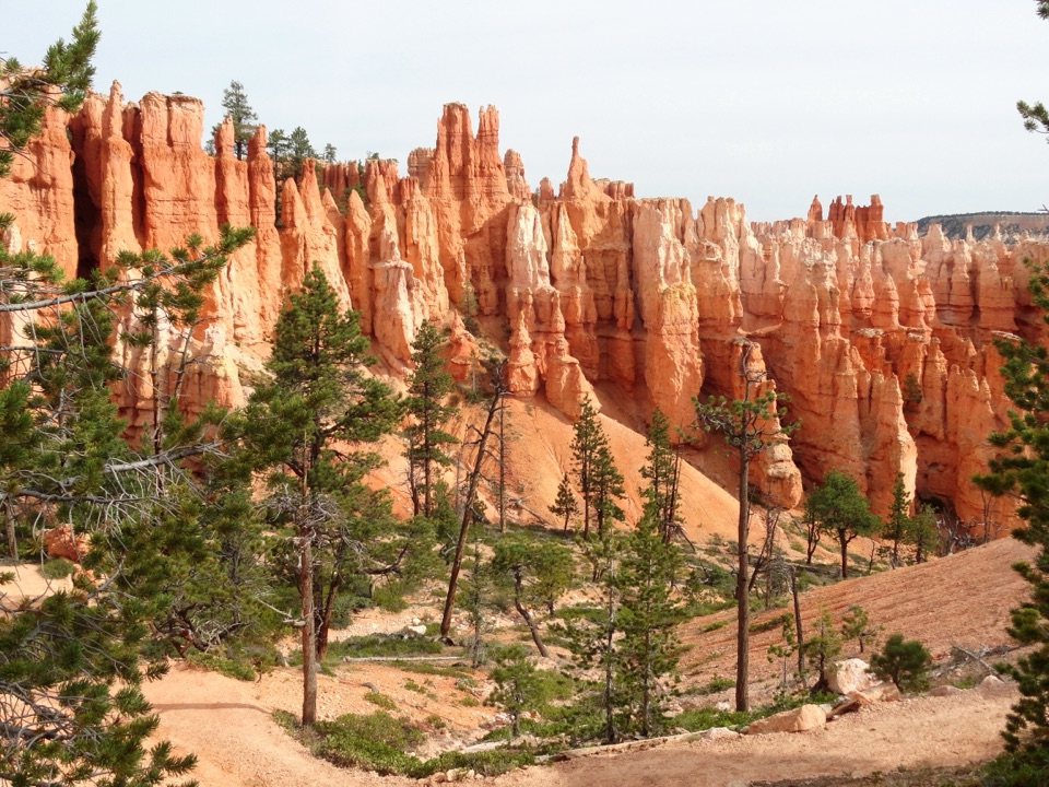
This 4.9-mile loop links Navajo and Peekaboo from Sunset Point. Plan 3–4 hours and 1,475 feet of climbing. It’s a strenuous way to combine two famous amphitheater hikes; it does not include Queen’s Garden, which belongs to a shorter Navajo loop or the longer Figure-8.
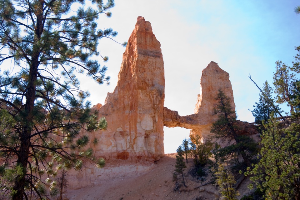
The mapped winter route descends the Two Bridges side of Navajo, crosses the connector to Peekaboo, then returns by the same Navajo branch. Wall Street is the alternate Navajo side; the park directs hikers to use Two Bridges in winter. The dirt trail drops quickly through switchbacks, with Thor’s Hammer and Two Bridges among the landmarks along the way.
Follow Peekaboo clockwise, then climb back to Sunset Point. The grade is gentler than Navajo’s in most places, but still reaches 27%; Navajo averages 14% and reaches 30%. Horses and mules share Peekaboo, so hikers should yield. The tread is firm natural sediment.
Sunset Point has accessible restrooms and water year-round. A second fill station and pit toilets on Peekaboo’s west side are seasonal. Park at Sunset Point or use the free shuttle when it’s operating; oversized vehicles cannot use this lot during shuttle operation. No reservation or activity fee is required, though the park entrance fee may apply. Pets are not allowed; service animals are.
Wildlife
 15 sightingsWapitiMost seen around 6 AMSighting map
 50 sightingsUtah Prairie DogMost seen around 9 AMSighting map
 331 sightingsMule DeerMost seen around 7 AMSighting map
 118 sightingsPronghornMost seen around 6 PMSighting map
 41 sightingsTurkey VultureMost seen around noonSighting map
 44 sightingsWild TurkeyMost seen around 7 AMSighting map
Sighting maps show where each species has been reported across Bryce Canyon. Wildlife moves, so no sighting is guaranteed.
Keep exploring
 ModerateNavajo Loop Trail1.3 mi · 1.5 hr · At the trailheadA steep descent to Thor’s Hammer, then a climb back out.
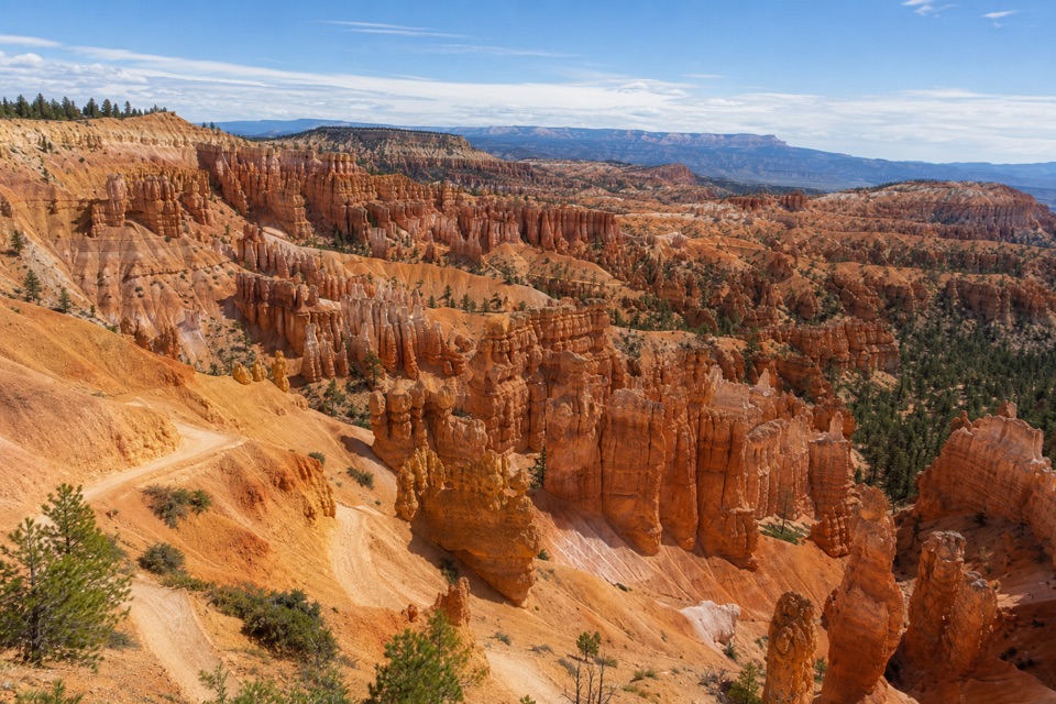 EasySunset Point to Sunrise Point Hike1 mi · 1 hr · 0.1 mi awayA paved half-mile rim walk with Bryce’s classic hoodoo view.
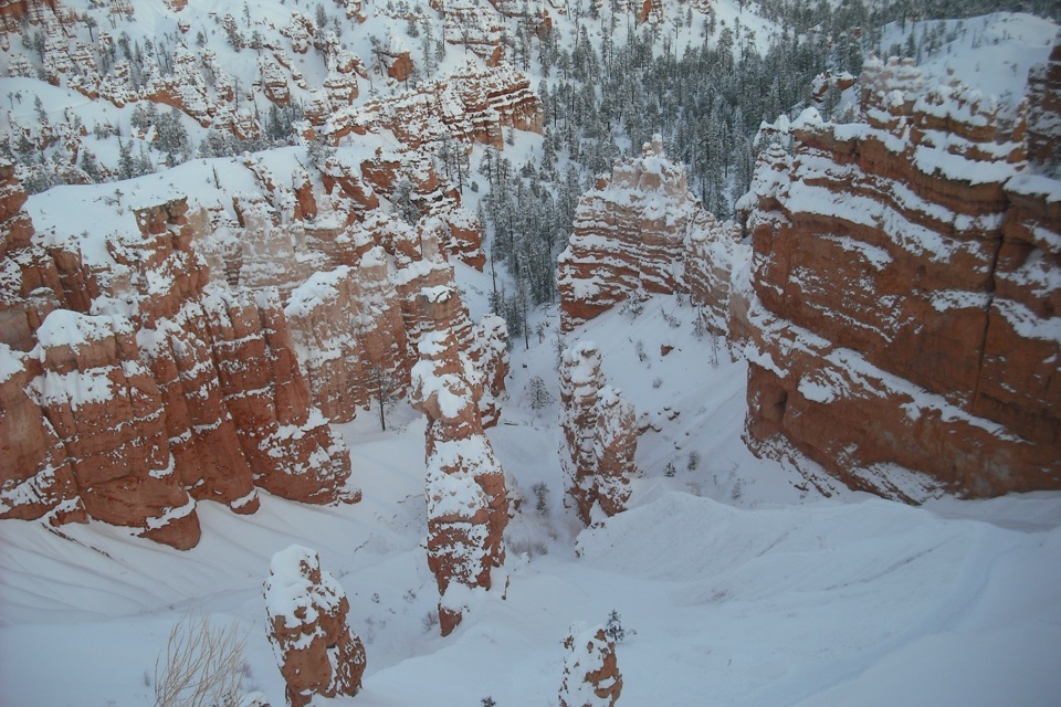 ChallengingFigure-8 Combination6.4 mi · 4.5 hr · 0.4 mi awayA long loop links Queen’s Garden, Peekaboo, Navajo, and the rim.
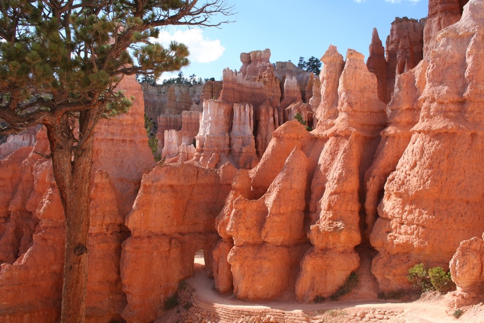 ModerateQueen's Garden Trail1.8 mi · 1.5 hr · 0.4 mi awayDrop below the rim to meet Queen Victoria, then climb back out.
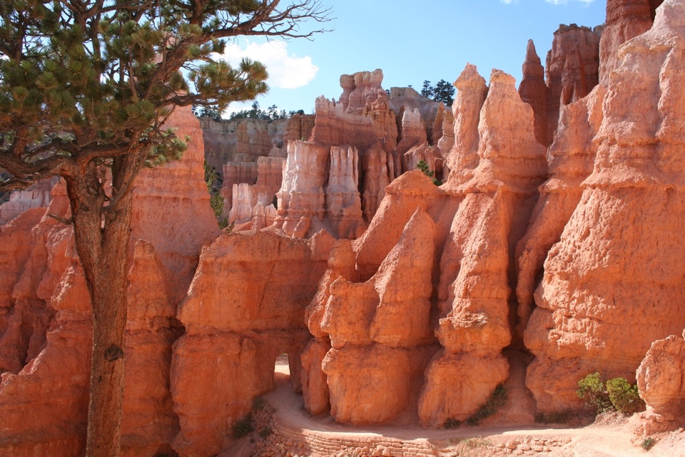 ModerateQueen’s Garden / Navajo Combination Loop2.9 mi · 2.5 hr · 0.4 mi awaySave Navajo’s steep switchbacks for the climb back out.
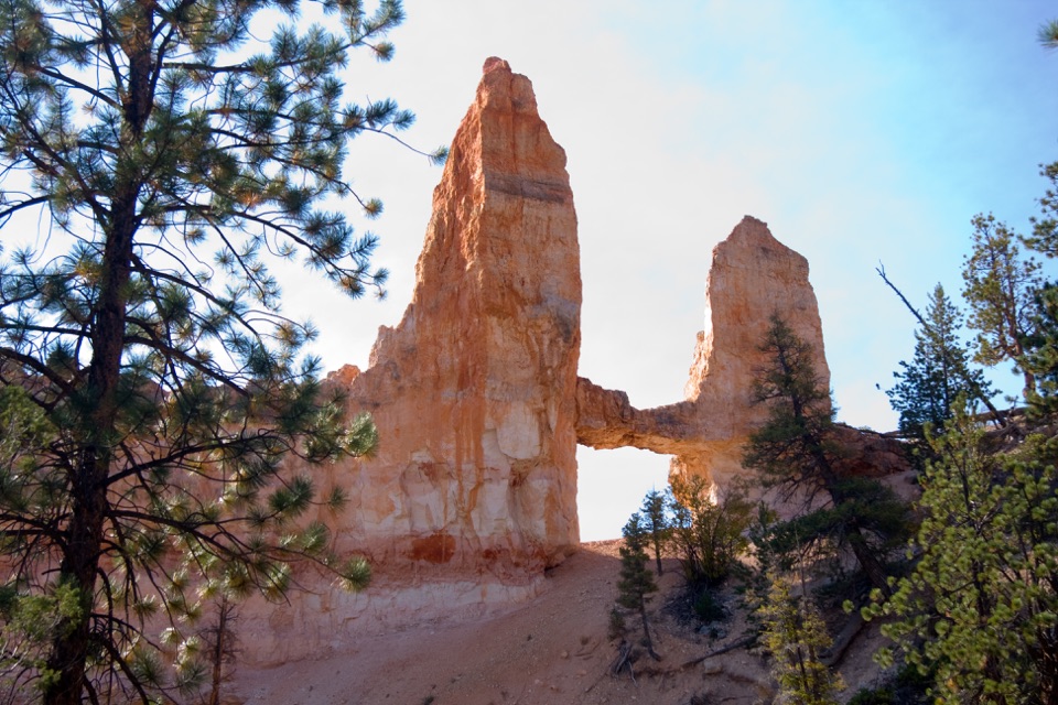 ModerateTower Bridge Trail3 mi · 2.5 hr · 0.7 mi awayDrop below the rim for a natural bridge and the Chinese Wall.
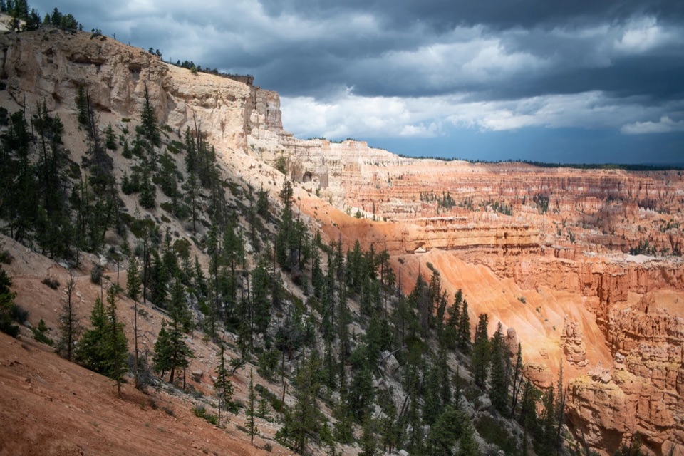 ChallengingBryce Amphitheater Traverse4.7 mi · 3.5 hr · 1.4 mi awayA hoodoo descent, a clockwise trail stretch, and a steep rim climb.
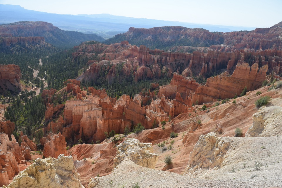 ModerateThe Rim Trail5.5 mi · 3.5 hr · 1.4 mi awayFive and a half rim miles link Bryce Amphitheater’s big overlooks.
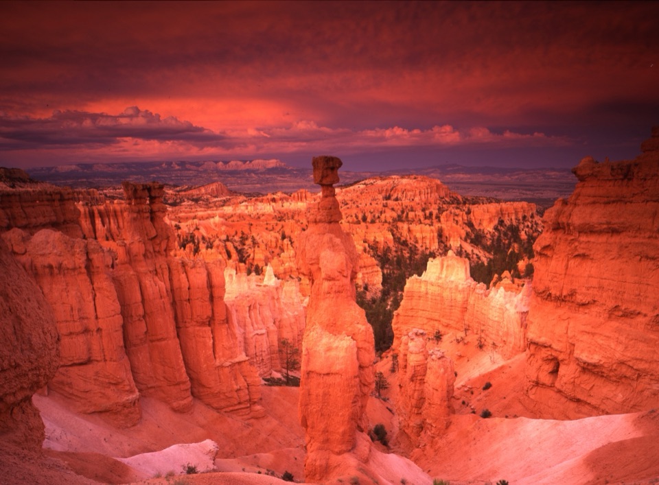 Sight · At the trailheadSunset PointA close look into the hoodoo maze beneath Thor’s Hammer.
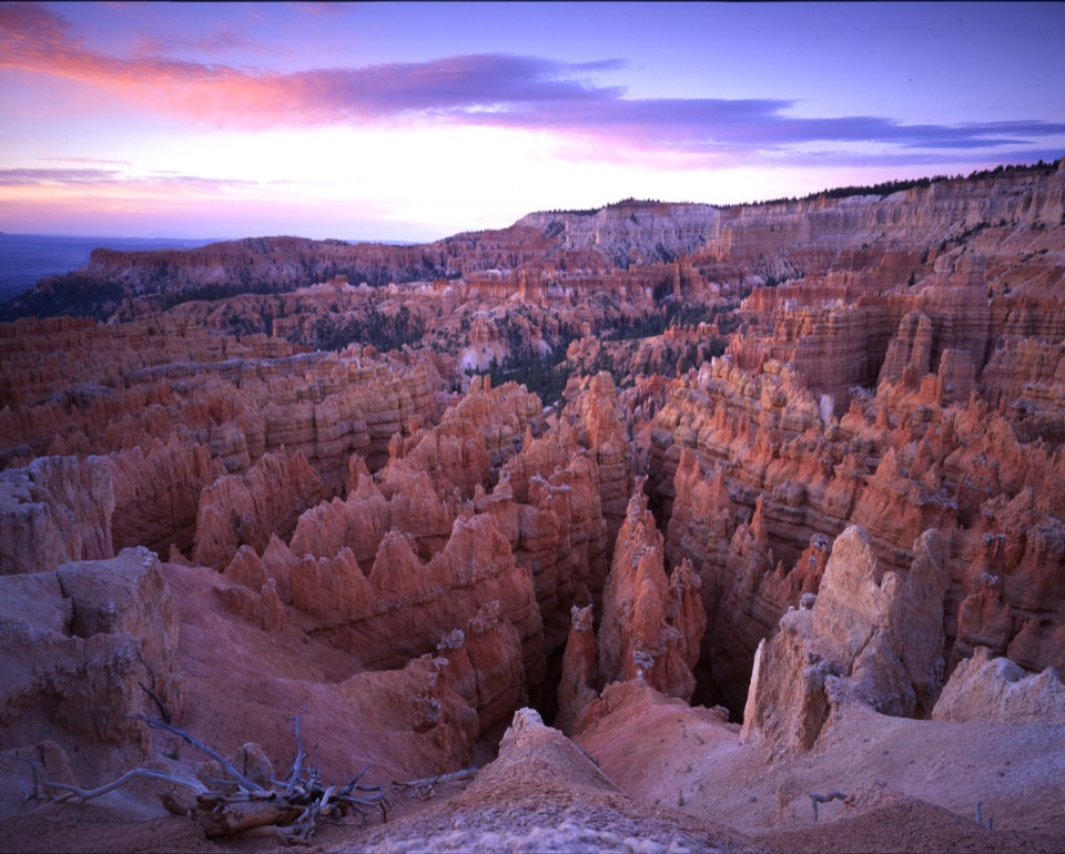 Sight · 0.1 mi awayWall StreetA tight-walled walk through hoodoos and towering Douglas-firs.
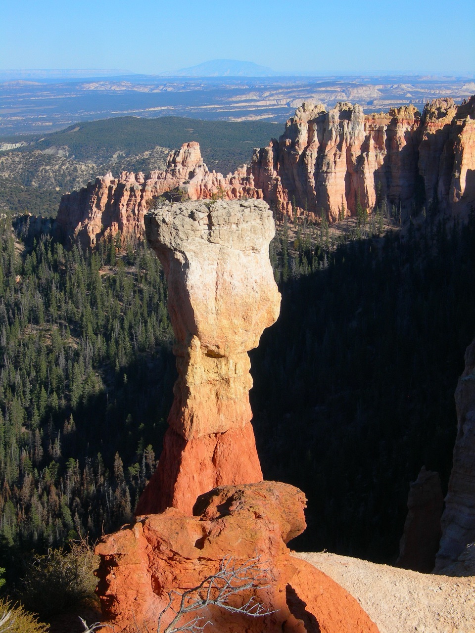 Sight · 0.1 mi awayThor’s HammerA hammer-shaped hoodoo you can spot from the rim.
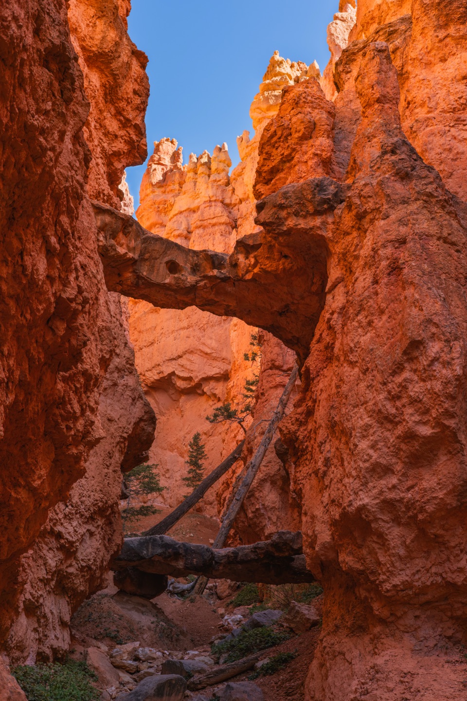
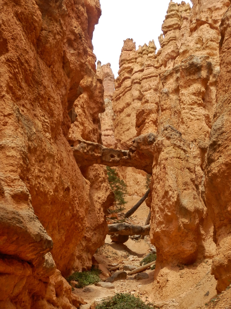 Sight · 0.2 mi awayTwo BridgesTwo rock spans tuck into a narrow, red-walled Navajo Loop canyon.
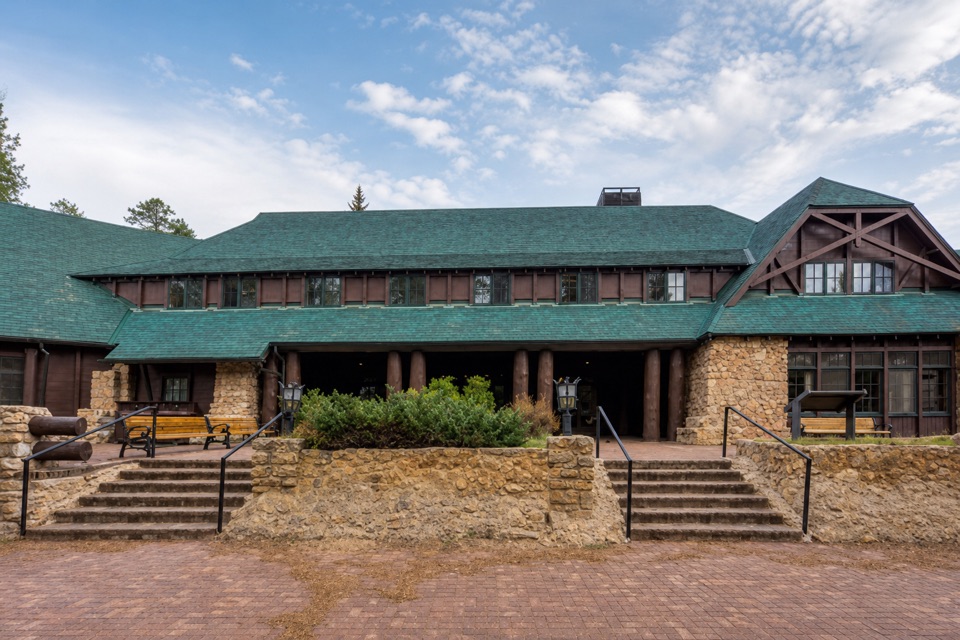 Lodging · 0.3 mi awayBryce Canyon LodgeHistoric 1925 lodge campus, with the amphitheater rim a short walk away.
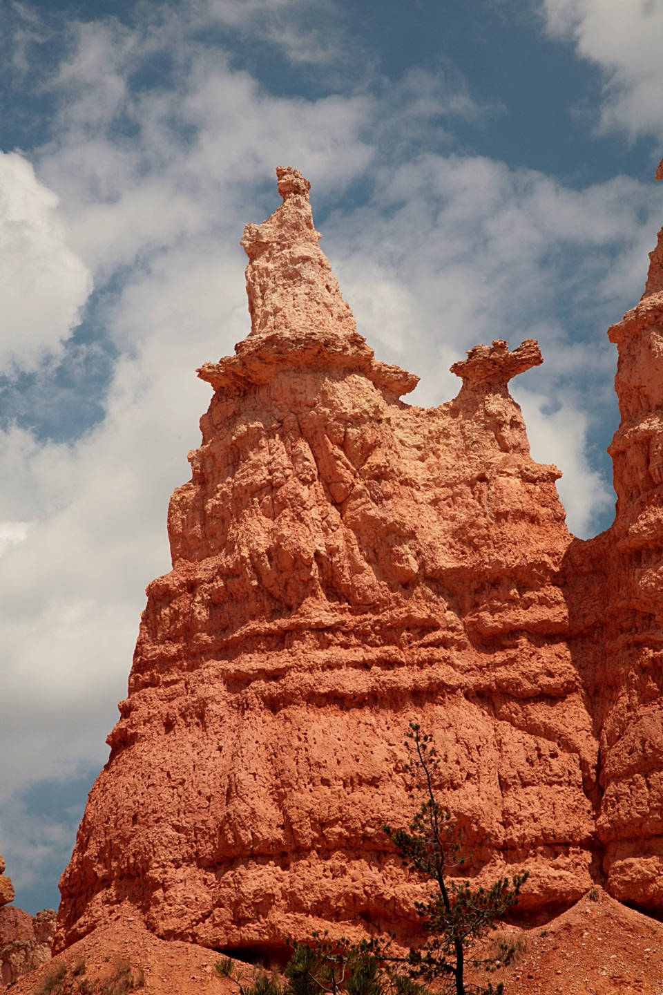 Sight · 0.3 mi awayQueen’s GardenA hoodoo garden with Queen Victoria at the end of a spur.
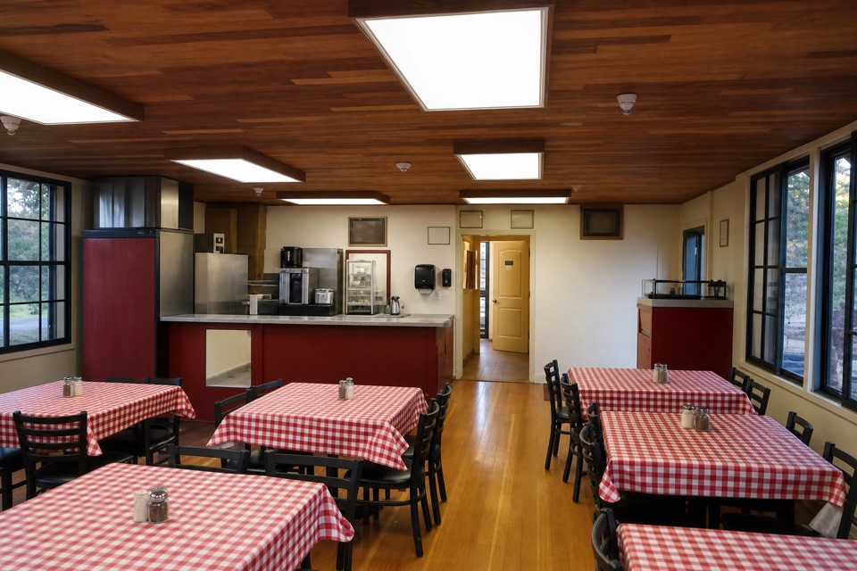 Restaurant · 0.4 mi awayValhalla Pizzeria & Coffee ShopCoffee all day; pizza from 11:30, beside the Lodge.
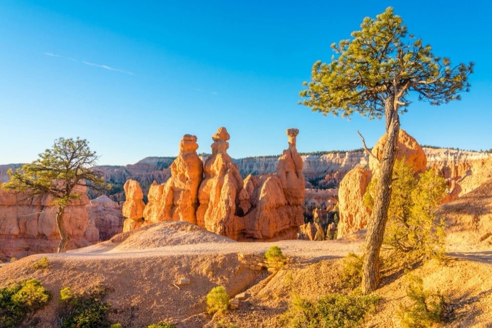 Sight · 0.4 mi awaySunrise PointWalk down to the hoodoos or take in the whole amphitheater.
Parkwolf’s Bryce Canyon ranking

The audio tour guide for the drive, plus offline maps, trails, and wildlife heatmaps for when the signal drops.