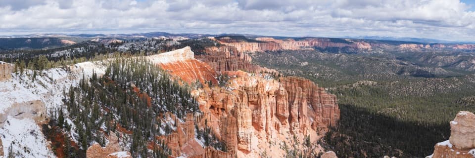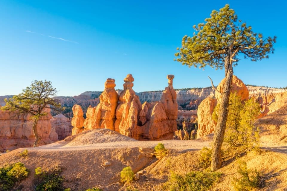
Sunrise Point in Bryce Canyon National Park

#5 of 29 sights in Bryce Canyon

Sight · Bryce Canyon National Park

Sunrise Point

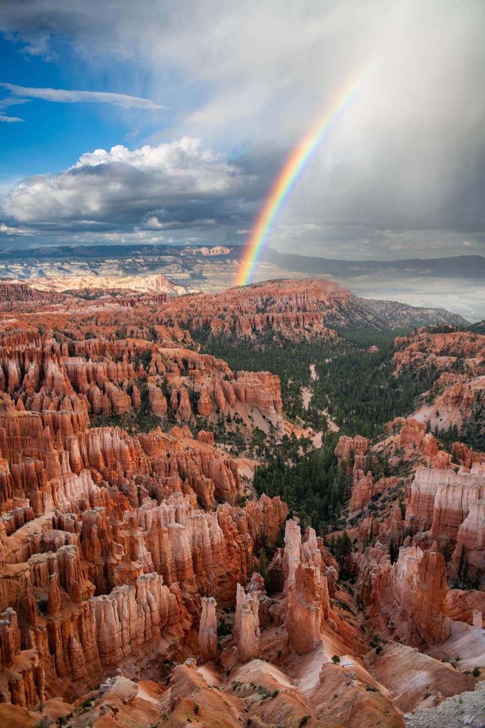
Walk down to the hoodoos or take in the whole amphitheater.

Photo: Unsplash License
Type
Sight
Nearest trail
Right here
Audio stories
11 nearby
  • Scenic viewpoint
  • Trailhead
  • Parking
  • Restrooms

Hear the audio tour

Sunrise Point: Pines Above the Hoodoos

Overview

About Sunrise Point

Why stop

  • A full 360-degree view takes in hoodoos, forest and distant plateaus.

Heads up

  • The final climb to the upper viewpoint is steep and unpaved.

Map

Where it is

Loading the Bryce Canyon map
Full map
SightSunrise Point37.62822, -112.16298
Keep this map with you offline in the Parkwolf app

Plan your stop

Before you go

Getting there and what to expect

There is a parking lot at Sunrise Point, but it can fill when the busy viewpoints are crowded. A free seasonal shuttle stops nearby, about 0.2 mile from the overlook. From the lot, the paved approach to the rim is about 1,584 feet; an additional 79-foot climb to the upper viewpoint is unpaved and steep, with a maximum grade just over 20 percent, and is marked not recommended. The half-mile paved Rim Trail toward Sunset is wheelchair accessible; the upper climb at Sunrise is a different, rougher approach.

A General Store is near the shuttle stop. Its public restrooms and water-fill station are seasonal; Sunset Point has year-round accessible restrooms, about a half-mile walk south along the rim.

3 active Bryce Canyon alerts

  • ClosureWall Street closed after recent rainsWall Street is closed until further notice because of recent rains. - Other park trails are open, but hikers are urged to use caution. Check current park conditions before hiking.Official details
  • CautionUnder-the-Rim Trail damage and hiker advisoryUnder-the-Rim Trail conditions are deteriorated in many places; hike at your own risk. - Use a map and be able to navigate in the backcountry; strong wayfinding skills are essential.Official details
See all 3 alerts
A park ranger sits on a dash-mounted phone, talking, as Parkwolf’s Tour Guide plays “Army Cutworm Moths: A Grizzly Bear Buffet” on Grand Loop Road below Dunraven Pass in Yellowstone
Parkwolf Tour GuideThe highest, rockiest slopes around here are a summer buffet for grizzly bears.

Bryce Canyon Tour Guide

Your drive to Sunrise Point, narrated.

Parkwolf is a GPS audio tour guide for Bryce Canyon National Park. As you drive, it chimes in with what’s ahead: hidden gems, upcoming stops, history, geology, and wildlife, right through your car’s speakers.

See the Bryce Canyon audio tour

Recorded for this place

Sunrise Point: Pines Above the Hoodoos
0:00 / 0:33
“You're coming up on Sunrise Point, overlooking the northern end of the amphitheater. After the big view, look for Stilts, a limber pine with roots exposed where the rim has eroded beneath it.”

Plays as you drive up to Sunrise Point in the Parkwolf Bryce Canyon Tour Guide.

More stories near here in the app

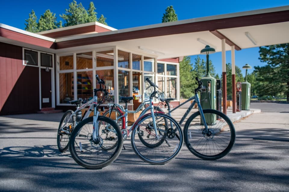
  • Bryce Canyon General Store and the Old Service Station
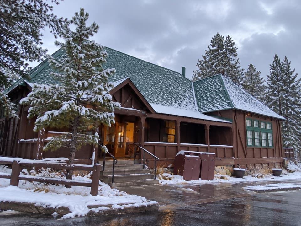
  • Bryce Canyon Lodge: History and a Meal
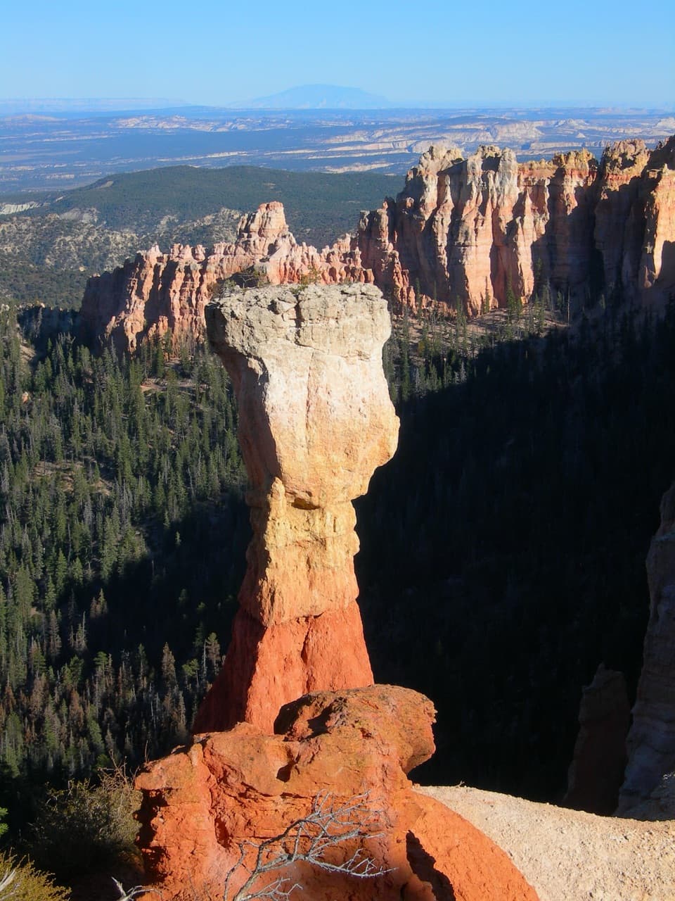
  • Sunset Point and Thor's Hammer
  • Sunset Campground: A Base Near the Rim
  • 30 audio storiesacross Bryce Canyon’s roads, triggered by GPS as you drive
  • Wildlife heatmapsfor Wapiti, Utah Prairie Dog, Mule Deer, and 13 more
  • Works offlinemaps, 24 trails, 41 places, and audio download before you lose signal
  • CarPlay readysimple controls built for the drive
★★★★★
“Super fun and useful app! We especially enjoyed the guide as we drove through Bryce Canyon National Park.”
Rae607App Store review
Download Parkwolf on the App StoreGet Parkwolf on Google Play

4.7 from 8,600+ ratings

Guide

More about Sunrise Point

Start with the whole bowlSunrise Point is a high rim overlook at the north edge of Bryce Amphitheater, one of the park’s…

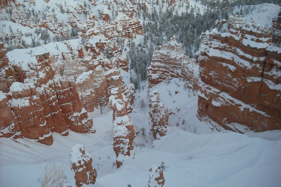
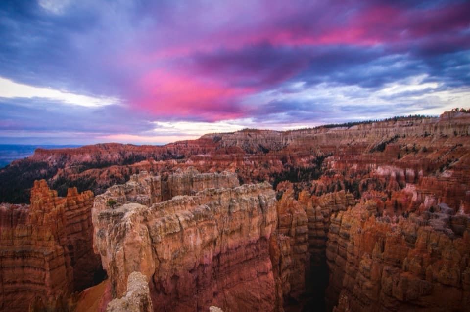
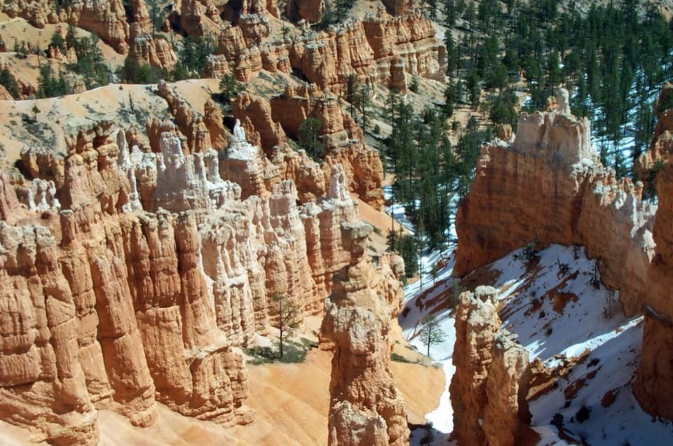
Sunrise Point is a high rim overlook at the north edge of Bryce Amphitheater, one of the park’s four major viewpoints. At about 8,100 feet, it looks east across a bowl of orange hoodoos and colorful badlands, then west over the ponderosa forest and the open plateau; the view turns all the way around. If you only want the formations from above, a short stop works. If you want to see them up close, Queen’s Garden Trail drops from the rim into the rocks.

Walk the rim or head downThe paved Rim Trail runs south for about half a mile to Sunset Point, an easy way to compare…

The paved Rim Trail runs south for about half a mile to Sunset Point, an easy way to compare the amphitheater from another angle without committing to a descent. Queen’s Garden is the closer look: its ridgeline leads down among the hoodoos and shows how the formations change from fins and windows into isolated columns. For a photo, let a rim-top pine frame the hoodoos below it; at dawn, first light brings out their orange layers.

Spot the tilted shipLook northeast for flat Boat Mesa and the angled slope of Sinking Ship, backed by the Pink…

Look northeast for flat Boat Mesa and the angled slope of Sinking Ship, backed by the Pink Cliffs of Table Cliff Plateau about 17 miles away. Sinking Ship leans roughly 30 degrees where the Paunsaugunt Fault cuts across the landscape. The amphitheater and the plateau expose the same rock layer, but sit about 2,000 feet apart in elevation because the fault pulled the ground down on this side. Little movement has been recorded along it in the past nine million years.

Follow the hoodoo sequenceFrom this rim you can see the process in order.

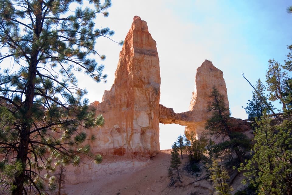
From this rim you can see the process in order. Erosion eats back the plateau edge and exposes layered walls, or fins. Freeze and thaw widen cracks into windows; when those arches break apart, the remaining pillars become hoodoos. The ridgeline of Queen’s Garden carries that sequence down into the amphitheater, where the shapes are easier to read from close up.

Meet Stilts at the edgeA limber pine called Stilts stands near Sunrise Point with roots exposed as the rim erodes away…

A limber pine called Stilts stands near Sunrise Point with roots exposed as the rim erodes away beneath it. The tree makes a good detail to look for after the big view, and a reminder that this is a landscape still being worn back: the rim retreats by roughly one to four feet each century. The National Park Service estimates the amphitheater will eventually erode away in about three million years.

Wildlife

Wildlife in Bryce Canyon

All Bryce Canyon wildlife maps

Sighting maps show where each species has been reported across Bryce Canyon. Wildlife moves, so no sighting is guaranteed.

Keep exploring

Near Sunrise Point

See it all on the map

Trails nearby

More stops nearby

Parkwolf’s Bryce Canyon ranking

Top sights in Bryce Canyon

All 41 places
  1. 1Bryce PointSight
  2. 2Sunset PointSight
  3. 3Inspiration PointSight
  4. 4Thor’s HammerSight
  5. 6Natural BridgeSight
  6. 7Rainbow PointSight

Take Parkwolf to Bryce Canyon.

The audio tour guide for the drive, plus offline maps, trails, and wildlife heatmaps for when the signal drops.

4.7 from 8,600+ ratings

Download Parkwolf on the App StoreGet Parkwolf on Google Play