Parking
Limited parking at the turning area at the end of the public road by Dorback Lodge; leave room to turn and do not block access. No public transport reaches the start.
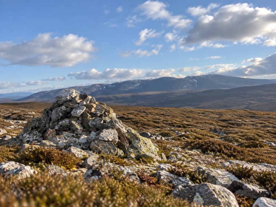
Cairngorms National Park, SC
A rough moorland loop to a pale quartzite summit cairn.
Overview
Map & elevation
Plan your hike

The highest, rockiest slopes around here are a summer buffet for grizzly bears.
Cairngorms Tour Guide
Parkwolf is a GPS audio tour guide for Cairngorms National Park. As you drive, it chimes in with what’s ahead: hidden gems, upcoming stops, history, geology, and wildlife, right through your car’s speakers.
See the Cairngorms audio tourRecorded for this area
The Blue Mountain and the Russet Hills“Cairn Gorm means the blue mountain, yet the Gaelic name for the whole range describes red-brown hills. You're hearing names for different things: one peak and a mountain range.”
Plays near this trailhead in the Parkwolf Cairngorms Tour Guide.
More stories near here in the app
“Fantastic app with many points of information… It’s great to just turn on while you’re driving and it gives you an audio tour of the national Park. We love it!!!!”


Trail guide
Geal Charn from Dorback Lodge is an 8.25-mile loop over estate tracks and open, pathless moorland, climbing to Geal Chàrn’s white quartzite cairn. Allow about five hours for this rough hill walk. A longer 10-mile circuit is also described for the same hill; this entry follows the shorter loop back to the same road end.
From the end of the public road, cross Dorback Burn and follow faint estate tracks past Upper Dell, a small lochan and a hut. After crossing Allt na h-Eirghe, leave the track and climb southwest over tussock and deep heather. The upper ground is largely pathless; footing improves on the ridge and fencepost line, though boggy patches remain near the summit.
The summit’s pale quartzite cairn stands on open moorland. On a clear day, the view reaches Ben Avon’s granite tors and Beinn a’ Bhuird. Descend northeast over rough peat toward Allt Slugan na Cloiche, then follow faint traces or the burn to the bulldozed track near NJ110135. The return track passes old Scots pines and derelict Dorback Lodge before reaching the road end.
Parking is limited at the road-end turning area, and no public transport reaches the start. No toilets or refreshments were identified at the road end or along the route. The route has no maintained path over much of the climb and descent. Dorback Burn may require a wade and can become impassable after rain; a footbridge marked on some maps is reported absent, and another strong burn is crossed on the approach. Dogs are allowed under Scotland’s responsible-access rules; keep them close to heel on moorland during the April–July ground-nesting bird season and prevent disturbance to livestock.
Wildlife
 159 sightingsRed DeerMost seen around 7 AMSighting map
 63 sightingsReindeerMost seen around 6 PMSighting map
 102 sightingsOspreyMost seen around 5 PMSighting map
 37 sightingsBlack GrouseMost seen around 4 AMSighting map
 72 sightingsRed GrouseMost seen around 6 PMSighting map
 82 sightingsPine MartenMost seen around 9 PMSighting map
Sighting maps show where each species has been reported across Cairngorms. Wildlife moves, so no sighting is guaranteed.
Keep exploring
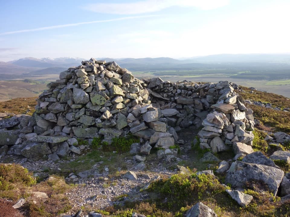 ModerateSgòr Gaoithe, Cromdale Hills3.2 km · 2 hr · 5.6 km awayA short moorland climb to a windshelter cairn above Strathspey
 ModerateGlen Brown Circuit7.2 km · 2.5 hr · 6.9 km awayOld tracks, Strath Avon views and a rough Glen Brown return.
 EasyWilderness Trail, Nethy Bridge2.5 km · 1 hr · 7.8 km awayA muddy pinewood loop with a possible old logging camp.
 ModerateLettoch Trail10.5 km · 3 hr · 8.3 km awayFollow the Nethy to Lettoch Wood's open mountain view.
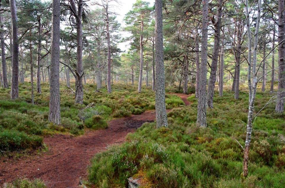 EasyRiverside Trail, Nethy Bridge2.9 km · 1 hr · 8.3 km awayA riverside start, then a pinewood loop past a former tree nursery
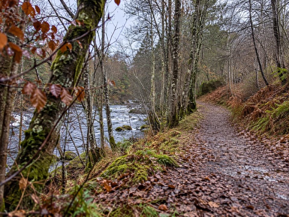 EasyRiverside Short Accessible Path, Nethy Bridge0.6 km · 15 min · 8.4 km awayA smooth, level riverside stroll to a bench above a small pool.
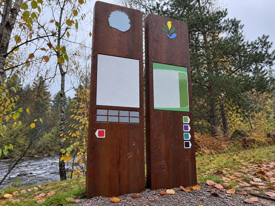 ModerateKing’s Road Trail, Nethy Bridge4.8 km · 1.5 hr · 8.4 km awayA pinewood loop with river views and a sawmill story
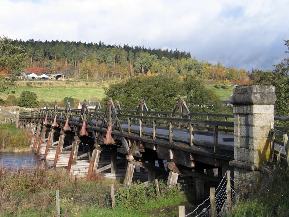 ModerateBroomhill Trail, Nethy Bridge4.8 km · 1.8 hr · 8.4 km awayA gentle river walk to a landmark timber bridge.
 Sight · 8.2 km awayStill ViewpointStep into a mirrored frame above the River Avon.
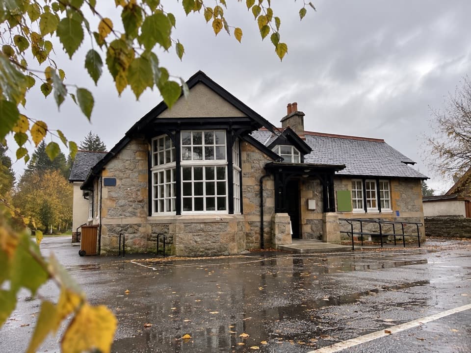 Visitor center · 8.4 km awayExplore Abernethy Visitor CentreA useful first stop for Abernethy Forest maps and woodland walks.
 Sight · 8.7 km awayCastle RoyA compact medieval fortress with a wide Cairngorms view.
 Visitor center · 9.2 km awayTomintoul & Glenlivet Discovery Centre & MuseumA village museum with local stories and a virtual dark-sky trip.
 Store · 9.4 km awayThe Whisky CastleMore than 600 malts in a shop dating to 1904.
 Visitor center · 9.6 km awayGlenlivet Estate Visitor CentreA useful trail-map stop at Tomintoul’s far end.
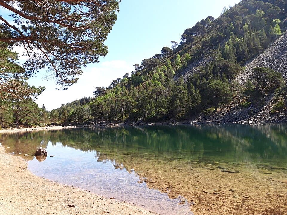 Sight · 9.8 km awayAn Lochan UaineA vivid green loch at the end of a proper woodland walk.
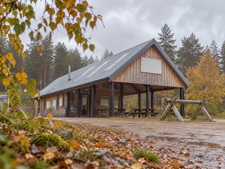 Sight · 10 km awayBike GlenlivetFlowing mountain-bike trails, café and zip wire reward a longer stop.
Parkwolf’s Cairngorms ranking

The audio tour guide for the drive, plus offline maps, trails, and wildlife heatmaps for when the signal drops.





