Parking
Small roadside layby on the west side of the A939 near NJ 061 222, almost opposite an old overgrown quarry. Cross the road carefully, walk left along the far verge, then turn right onto the track; parking is limited.
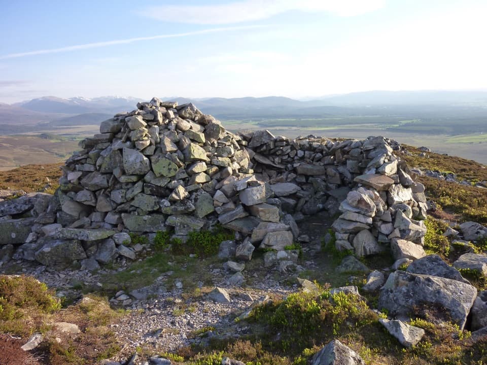
Cairngorms National Park, SC
A short moorland climb to a windshelter cairn above Strathspey
Overview
Map & elevation
Plan your hike

The highest, rockiest slopes around here are a summer buffet for grizzly bears.
Cairngorms Tour Guide
Parkwolf is a GPS audio tour guide for Cairngorms National Park. As you drive, it chimes in with what’s ahead: hidden gems, upcoming stops, history, geology, and wildlife, right through your car’s speakers.
See the Cairngorms audio tourRecorded for this trailhead
Sgòr Gaoithe’s Short Cairn Walk“You're approaching the roadside start for Sgòr Gaoithe in the Cromdale Hills. Choose this for Cairngorms and Strathspey views on a two-mile return walk, taking about two hours.”
Plays as you drive up to this trailhead in the Parkwolf Cairngorms Tour Guide.
More stories near here in the app
“Fantastic app with many points of information… It’s great to just turn on while you’re driving and it gives you an audio tour of the national Park. We love it!!!!”


Trail guide
This is the short out-and-back to a windshelter cairn on Sgòr Gaoithe’s west ridge: about 2 miles round trip, roughly 250 m of ascent, and around 2 hours. A steady hill-track climb brings open views toward the Cairngorms and Strathspey. It suits a half-day when you want a compact hill walk and do not need to cross the full Cromdale ridge.
The small roadside layby is on the west side of the A939 near NJ 061 222, almost opposite an old, overgrown quarry. Cross the road carefully, walk left along the far verge, then turn right onto the Land Rover track. The way rises over open heather moorland; views toward the Cairngorms begin early.
A gate leads into a fenced area of native tree planting associated with nearby Lynbreck Croft. After another gate, the trees give way to open moorland again. This is a noticeable change in the landscape: the planted enclosure sits beside moor managed for grouse shooting.
Higher up, views back toward Grantown-on-Spey and Strathspey widen. The track gets rougher and steeper toward a conical shoulder with a small cairn, then eases for the short final stretch to the large windshelter cairn. This short route turns back there, just before the nearby 628 m high point; continuing along the fairly featureless ridge toward Creagan a’ Chaise makes a substantially longer walk. The open slope is exposed in poor conditions, so choose a settled day. Dogs are allowed under Scotland’s outdoor access rules; keep them under proper control around farm animals and wildlife.
Wildlife
 159 sightingsRed DeerMost seen around 7 AMSighting map
 63 sightingsReindeerMost seen around 6 PMSighting map
 102 sightingsOspreyMost seen around 5 PMSighting map
 37 sightingsBlack GrouseMost seen around 4 AMSighting map
 72 sightingsRed GrouseMost seen around 6 PMSighting map
 82 sightingsPine MartenMost seen around 9 PMSighting map
Sighting maps show where each species has been reported across Cairngorms. Wildlife moves, so no sighting is guaranteed.
Keep exploring
 EasyWilderness Trail, Nethy Bridge2.5 km · 1 hr · 5.3 km awayA muddy pinewood loop with a possible old logging camp.
 ModerateCastle Roy Loop2.4 km · 1 hr · 5.5 km awayA moderate pine-wood loop past a medieval castle.
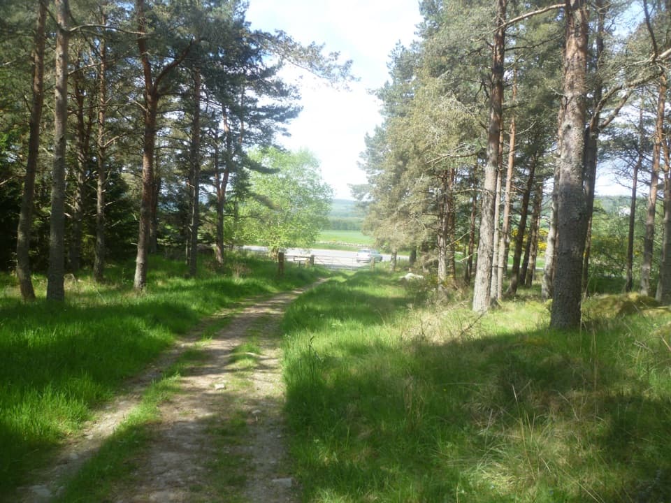 ChallengingCraigmore Trail6.7 km · 4 hr · 5.6 km awayA woodland walk to Boat of Balliefurth, returning along the Speyside Way.
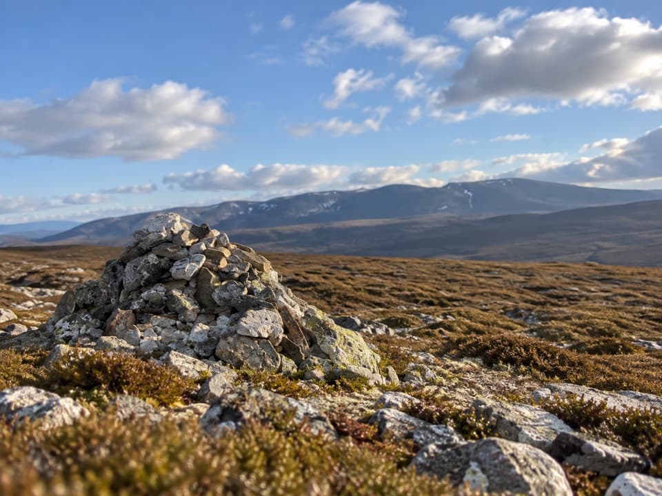 ChallengingGeal Charn from Dorback Lodge13.3 km · 5 hr · 5.6 km awayA rough moorland loop to a pale quartzite summit cairn.
 EasyAll Abilities Trail, Anagach Woods1.6 km · 45 min · 5.9 km awayA gentle pinewood loop on flat, firm paths with no steps.
 EasyAnagach Green Trail2 km · 48 min · 5.9 km awayA gentle pinewood loop along a section of old military road.
 ModerateAnagach Blue Trail4 km · 1.3 hr · 6 km awayA blue loop through Anagach’s pinewoods and moss.
 ModerateAnagach Red Trail8.9 km · 2.5 hr · 6 km awayA longer loop into the heart of Anagach’s pinewoods.Sight · 5.5 km awayCastle RoyA compact medieval fortress with a wide Cairngorms view.
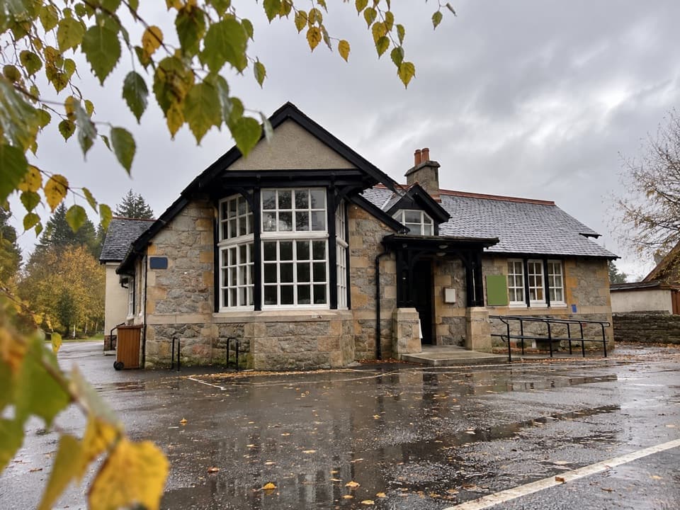 Visitor center · 6.2 km awayExplore Abernethy Visitor CentreA useful first stop for Abernethy Forest maps and woodland walks.
 Sight · 6.4 km awayGrantown MuseumA Highland town’s story, from a brass brooch to its old schoolhouse.
 Campground · 7 km awayGrantown-on-Spey Caravan ParkStay close to town, with touring pitches, pods and a chalet.
 Visitor center · 8.3 km awayThe Speyside CentreA plant-filled café stop with clootie dumpling and Highland gifts.
 Visitor center · 9.1 km awayLoch Garten Nature CentreNest scopes, wildlife cameras and pinewood trails, whatever you spot.
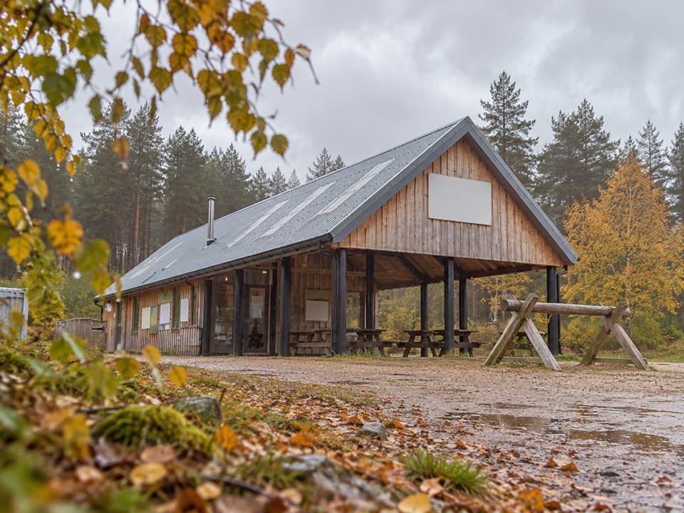 Sight · 9.7 km awayBike GlenlivetFlowing mountain-bike trails, café and zip wire reward a longer stop.
 Sight · 9.8 km awayStill ViewpointStep into a mirrored frame above the River Avon.
Parkwolf’s Cairngorms ranking

The audio tour guide for the drive, plus offline maps, trails, and wildlife heatmaps for when the signal drops.





