Parking
White Bridge Car Park on the A939 between Bridge of Avon and Bridge of Brown (grid NJ 133 209).

Cairngorms National Park, SC
Old tracks, Strath Avon views and a rough Glen Brown return.
Overview
Map & elevation
Plan your hike

The highest, rockiest slopes around here are a summer buffet for grizzly bears.
Cairngorms Tour Guide
Parkwolf is a GPS audio tour guide for Cairngorms National Park. As you drive, it chimes in with what’s ahead: hidden gems, upcoming stops, history, geology, and wildlife, right through your car’s speakers.
See the Cairngorms audio tourRecorded for this trailhead
White Bridge and the Glen Brown Circuit“White Bridge is coming up, the starting point for the Glen Brown Circuit. Choose this for a varied walk through birchwood and heather, with views down Strath Avon, rather than a summit climb.”
Plays as you drive up to this trailhead in the Parkwolf Cairngorms Tour Guide.
More stories near here in the app
“Fantastic app with many points of information… It’s great to just turn on while you’re driving and it gives you an audio tour of the national Park. We love it!!!!”


Trail guide
Glen Brown Circuit is a 4.5-mile loop from White Bridge, taking about two to three hours around the lower slopes of Tom Beag. It links an old military road, narrow hillside paths, birch woods, open heather and the Burn of Brown. The route circles the hill rather than climbing its 480 m summit. Go for the changing ground and views down Strath Avon and Glen Brown; expect a rough walk, not a smooth forest track. Follow the yellow stag markers closely where the path narrows or fades.
From White Bridge, the route climbs the old military road beside the Tom nam Marbh plantation. After a gate, leave the track at its sharp bend for a faint path across the hillside. A bench looks down Strath Avon; beyond it, the route crosses the small Allt Faur burn and winds through juniper. The path is narrow and can be little more than a sheep track, so the waymarkers matter more here than a tidy tread.
The way crosses fences and follows the upper edge of woodland before gates lead into birch trees. It drops through the woods to a forest road, then passes above Kylnadrochit Lodge and continues through the plantation. At the high deer gate near Stonachavie, leave the main track for the grassy hillside path. This is the route's open section, with a broad look into Glen Brown and a useful view back across the hills.
The path becomes vague on the heather slope above Glen Brown and passes the ruins of Tombreck, one of many deserted farmhouses in the estate. The hillside can be boggy. From the ruins, follow the rough track down toward the valley, through a narrow plantation strip and beside the Burn of Brown. A marker turns sharply uphill on grass to meet the A939; the last short climb follows the road back to White Bridge.
Sheep and cattle may be on the estate, so keep dogs on a lead or under close control. Red deer are often seen across Glen Brown, and red or black grouse may rise from the heather; treat either as a possibility, not a promise. For a landscape photograph, use the high path's Strath Avon outlook and keep the wooded valley in the frame rather than filling it with sky.
Wildlife
 159 sightingsRed DeerMost seen around 7 AMSighting map
 63 sightingsReindeerMost seen around 6 PMSighting map
 102 sightingsOspreyMost seen around 5 PMSighting map
 37 sightingsBlack GrouseMost seen around 4 AMSighting map
 72 sightingsRed GrouseMost seen around 6 PMSighting map
 82 sightingsPine MartenMost seen around 9 PMSighting map
Sighting maps show where each species has been reported across Cairngorms. Wildlife moves, so no sighting is guaranteed.
Keep exploring
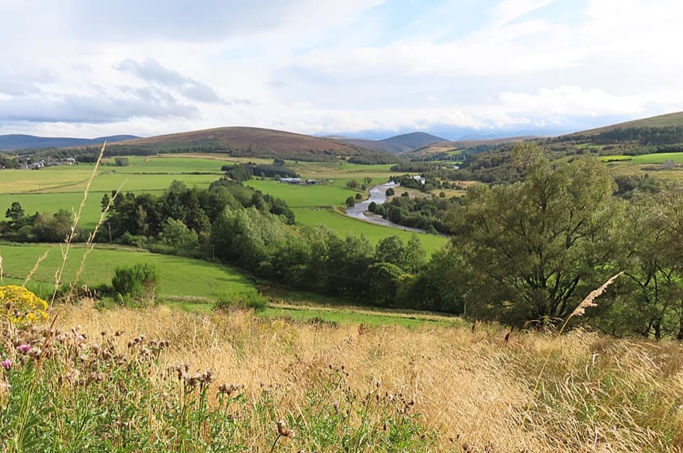 ModerateTomintoul Circular Trail4.3 km · 1.5 hr · 4.2 km awayA village loop linking a bird hide, birchwood and Glen Avon views.
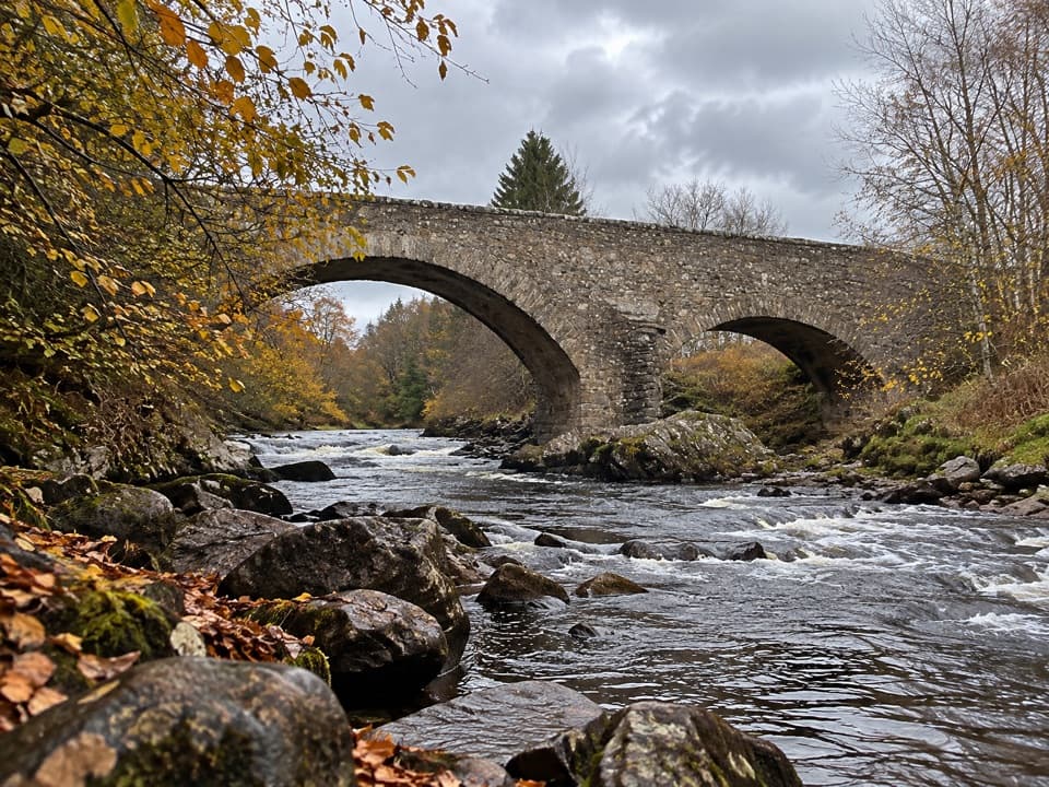 ModerateBridge of Avon Walk6 km · 2 hr · 4.2 km awayA steep, rough climb pays off at a 1754 stone bridge.
 EasyTomintoul Country Trail5 km · 2.5 hr · 4.5 km awayA gentle Glen Avon circuit pairs Queen’s View with riverside tracks.
 ChallengingBen Avon via Strath Avon40.6 km · 10.5 hr · 4.5 km awayA 25-mile day to granite tors and a pathless summit plateau.
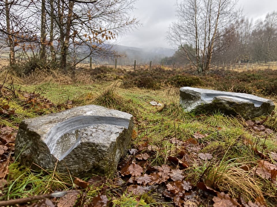 EasyMindfulness Trail, Tomintoul0.5 km · 15 min · 4.7 km awayA short, easy woodland loop with carved stones about the landscape.
 ModerateOld Military Road Walk, Tomintoul4 km · 1.5 hr · 4.7 km awayA rough old road climbs to views across Conglass Valley
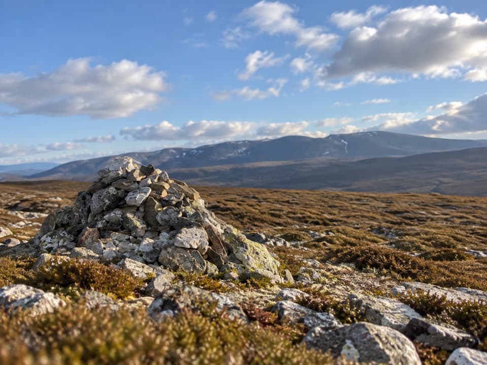 ChallengingGeal Charn from Dorback Lodge13.3 km · 5 hr · 6.9 km awayA rough moorland loop to a pale quartzite summit cairn.
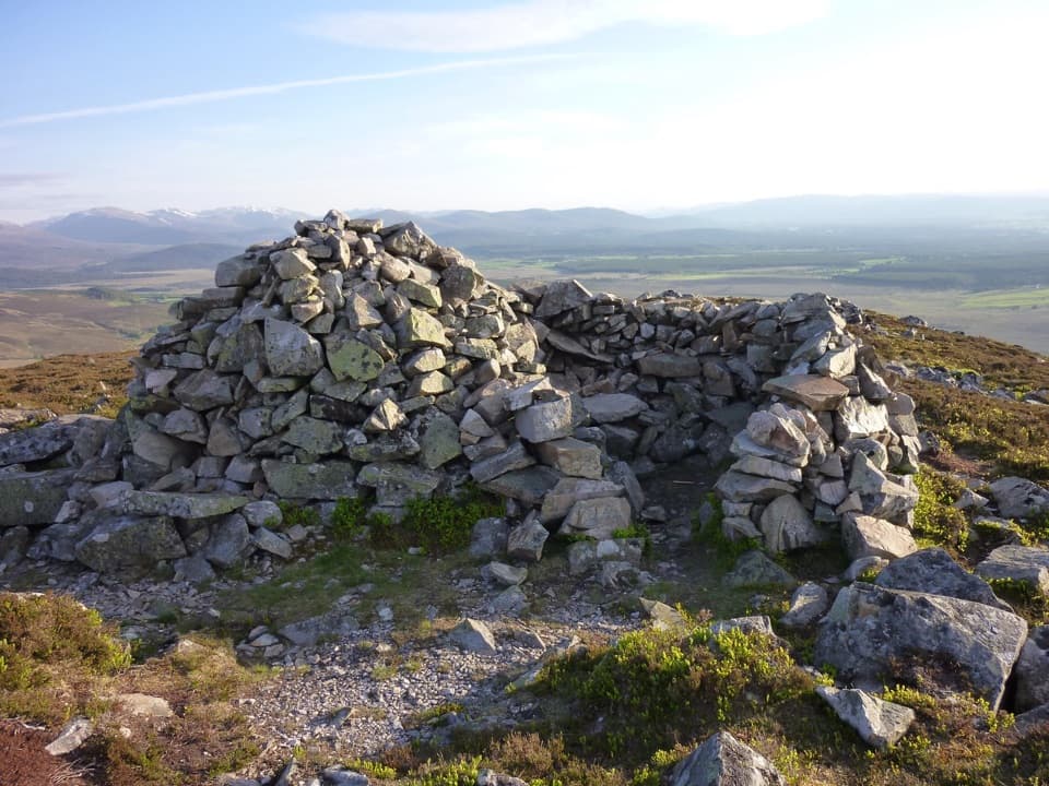 ModerateSgòr Gaoithe, Cromdale Hills3.2 km · 2 hr · 7.3 km awayA short moorland climb to a windshelter cairn above Strathspey
 Sight · 2.7 km awayStill ViewpointStep into a mirrored frame above the River Avon.
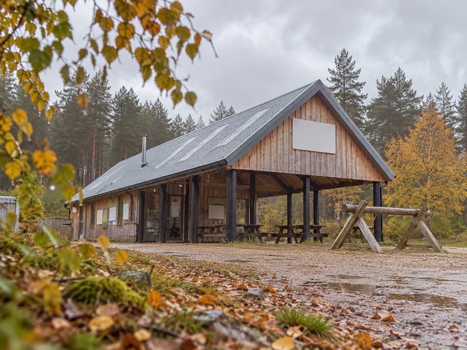 Sight · 3.1 km awayBike GlenlivetFlowing mountain-bike trails, café and zip wire reward a longer stop.
 Visitor center · 4.1 km awayTomintoul & Glenlivet Discovery Centre & MuseumA village museum with local stories and a virtual dark-sky trip.
 Store · 4.2 km awayThe Whisky CastleMore than 600 malts in a shop dating to 1904.
 Visitor center · 4.7 km awayGlenlivet Estate Visitor CentreA useful trail-map stop at Tomintoul’s far end.
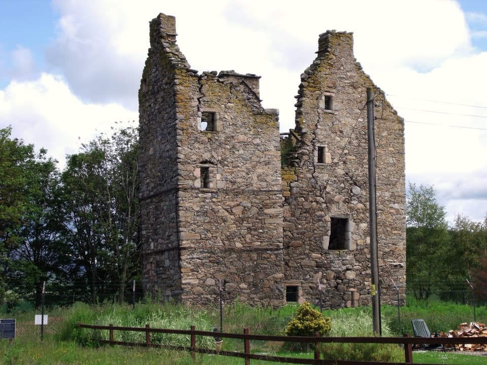 Sight · 10.1 km awayBlairfindy CastleA short detour to see a 16th-century tower house up close.
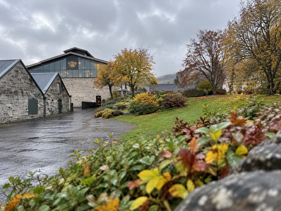 Sight · 10.1 km awayThe Glenlivet DistillerySee Speyside whisky being made, then taste it.
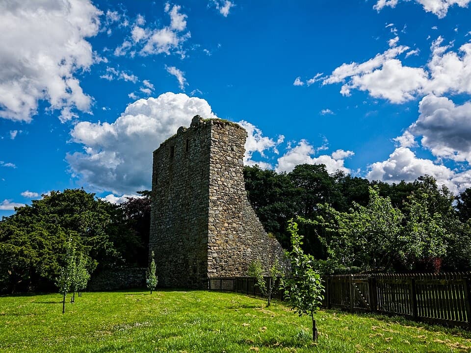 Sight · 10.7 km awayDrumin CastleA small tower ruin perched above the Livet and Avon.
Parkwolf’s Cairngorms ranking

The audio tour guide for the drive, plus offline maps, trails, and wildlife heatmaps for when the signal drops.





