Parking
Park at Nethy Bridge Visitor Centre / Community Centre on Dell Road; follow local path signs to the riverside start a short walk away.
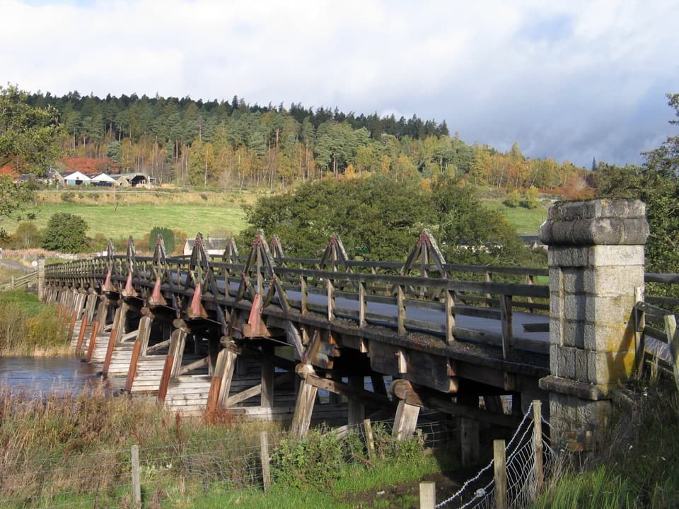
Cairngorms National Park, SC
A gentle river walk to a landmark timber bridge.
Overview
Map & elevation
Plan your hike

The highest, rockiest slopes around here are a summer buffet for grizzly bears.
Cairngorms Tour Guide
Parkwolf is a GPS audio tour guide for Cairngorms National Park. As you drive, it chimes in with what’s ahead: hidden gems, upcoming stops, history, geology, and wildlife, right through your car’s speakers.
See the Cairngorms audio tourRecorded for this trailhead
Explore Abernethy and the River Nethy“You're coming up on Explore Abernethy, the small visitor centre inside Nethy Bridge Community Centre. Stop here for forest maps and a look at the wildlife sightings board before choosing a walk.”
Plays as you drive up to this trailhead in the Parkwolf Cairngorms Tour Guide.
More stories near here in the app
“Fantastic app with many points of information… It’s great to just turn on while you’re driving and it gives you an audio tour of the national Park. We love it!!!!”


Trail guide
An out-and-back of 3 miles (4.8 km) follows the River Nethy from Nethy Bridge to Broomhill Bridge, then returns the same way. Allow 1½–2 hours. The route is low and gentle, but the mostly narrow grassy and earthy path has several stiles and can be soft after rain; stiles may be slippery when wet.
The turnaround is the long timber bridge across the River Spey, a 15-span structure built in 1894. Dippers are associated with this river walk; pause quietly by the water and look for them, though sightings are never guaranteed. The bridge itself makes the clearest photo stop; its full timber span is most striking from beside the river.
Park at the Nethy Bridge Visitor Centre / Community Centre on Dell Road and follow local path signs to the riverside route, a short walk away. Turn around at Broomhill Bridge. Dogs are allowed; keep them on a short lead or close to heel, especially from April through August near ground-nesting birds or livestock, and follow local signs.
Wildlife
 159 sightingsRed DeerMost seen around 7 AMSighting map
 63 sightingsReindeerMost seen around 6 PMSighting map
 102 sightingsOspreyMost seen around 5 PMSighting map
 37 sightingsBlack GrouseMost seen around 4 AMSighting map
 72 sightingsRed GrouseMost seen around 6 PMSighting map
 82 sightingsPine MartenMost seen around 9 PMSighting map
Sighting maps show where each species has been reported across Cairngorms. Wildlife moves, so no sighting is guaranteed.
Keep exploring
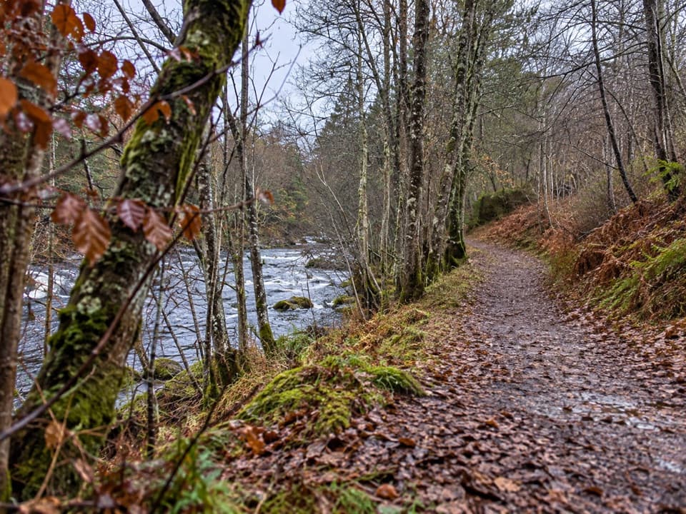 EasyRiverside Short Accessible Path, Nethy Bridge0.6 km · 15 min · At the trailheadA smooth, level riverside stroll to a bench above a small pool.
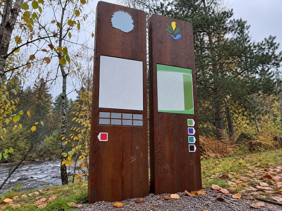 ModerateKing’s Road Trail, Nethy Bridge4.8 km · 1.5 hr · At the trailheadA pinewood loop with river views and a sawmill story
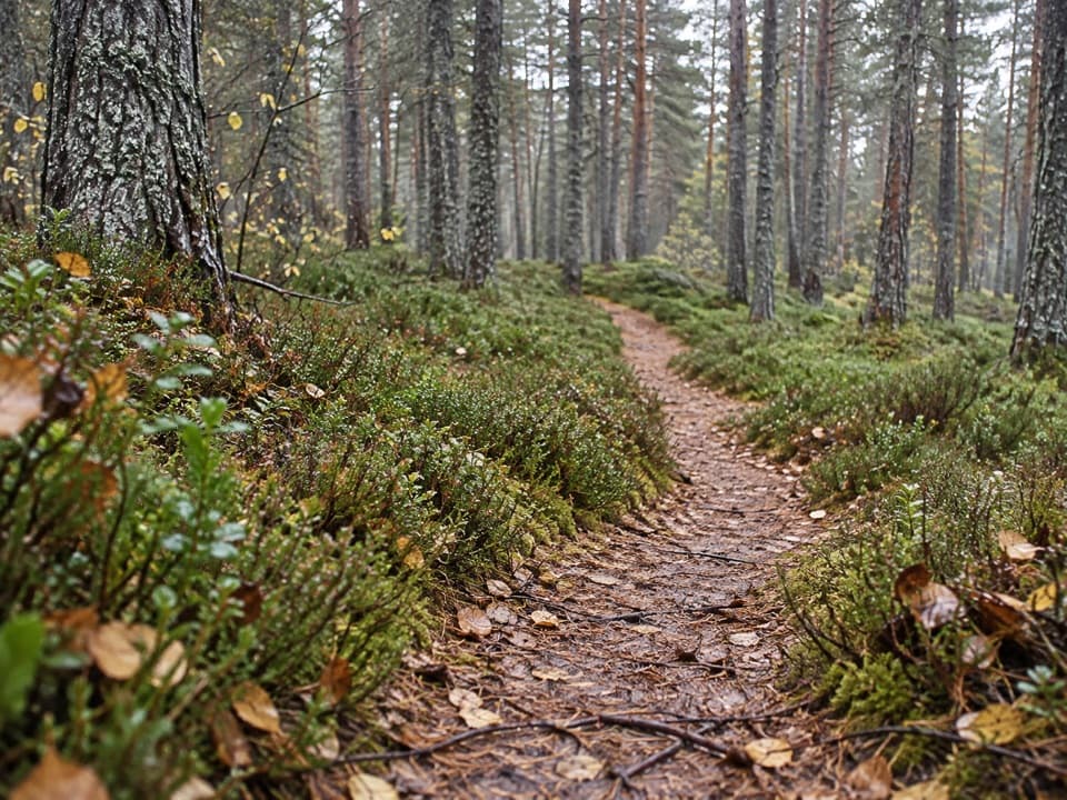 ModeratePuggy Line Trail4 km · 1 hr · At the trailheadA pinewood loop following a wartime timber railway.
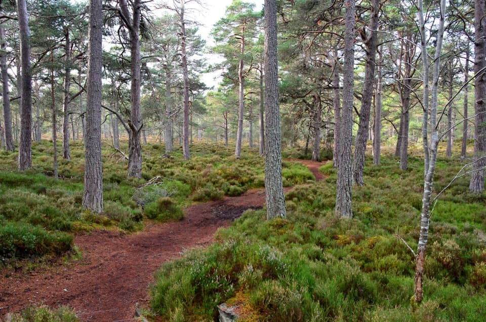 EasyRiverside Trail, Nethy Bridge2.9 km · 1 hr · 0.1 km awayA riverside start, then a pinewood loop past a former tree nursery
 ModerateLettoch Trail10.5 km · 3 hr · 0.1 km awayFollow the Nethy to Lettoch Wood's open mountain view.
 ChallengingDorback Drove Roads Circuit24.1 km · 6.5 hr · 0.2 km awayA full-day, 15-mile loop through Dorback and Abernethy Forest.
 EasyWilderness Trail, Nethy Bridge2.5 km · 1 hr · 0.9 km awayA muddy pinewood loop with a possible old logging camp.
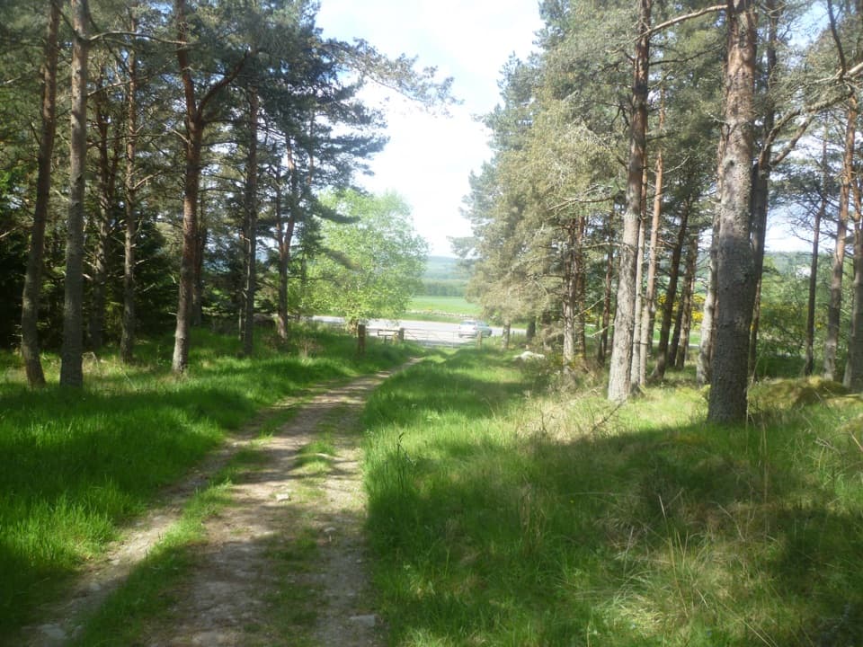 ChallengingCraigmore Trail6.7 km · 4 hr · 1.2 km awayA woodland walk to Boat of Balliefurth, returning along the Speyside Way.
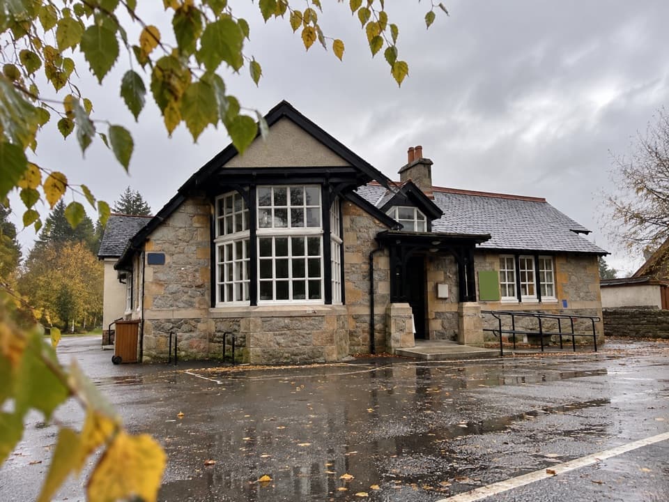 Visitor center · At the trailheadExplore Abernethy Visitor CentreA useful first stop for Abernethy Forest maps and woodland walks.
 Sight · 1.5 km awayCastle RoyA compact medieval fortress with a wide Cairngorms view.
 Visitor center · 3.2 km awayLoch Garten Nature CentreNest scopes, wildlife cameras and pinewood trails, whatever you spot.
 Visitor center · 3.2 km awayThe Speyside CentreA plant-filled café stop with clootie dumpling and Highland gifts.
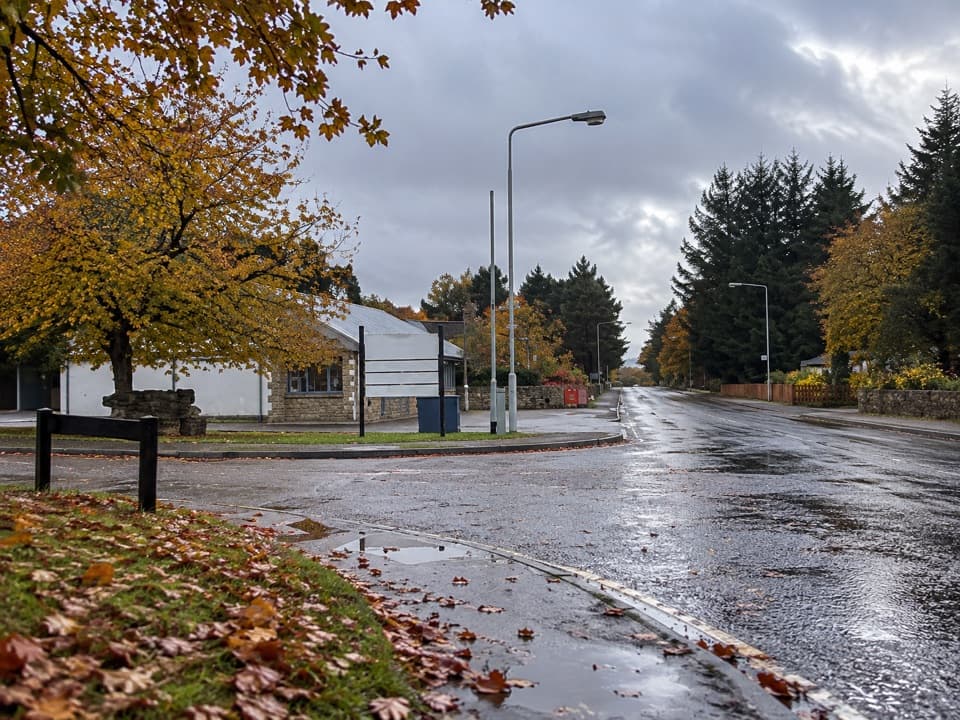 Lodging · 6.4 km awayBoat of Garten Holiday ParkA handy village base for exploring Strathspey and the Cairngorms.
 Campground · 8.2 km awayGrantown-on-Spey Caravan ParkStay close to town, with touring pitches, pods and a chalet.
 Sight · 8.2 km awayGrantown MuseumA Highland town’s story, from a brass brooch to its old schoolhouse.
 Sight · 9.5 km awayLandmark Forest Adventure ParkForest trails, tower views and water rides fill a full family day.
Parkwolf’s Cairngorms ranking

The audio tour guide for the drive, plus offline maps, trails, and wildlife heatmaps for when the signal drops.





