Parking
Invermark car park at the head of Glen Esk. Cross the bridge, pass the church, then take the signed right turn for Mount Keen and Queen’s Well.
Cairngorms National Park, SC
Walk a glen track to the easternmost Munro.
Overview
Map & elevation
Plan your hike

The highest, rockiest slopes around here are a summer buffet for grizzly bears.
Cairngorms Tour Guide
Parkwolf is a GPS audio tour guide for Cairngorms National Park. As you drive, it chimes in with what’s ahead: hidden gems, upcoming stops, history, geology, and wildlife, right through your car’s speakers.
See the Cairngorms audio tourRecorded for this trailhead
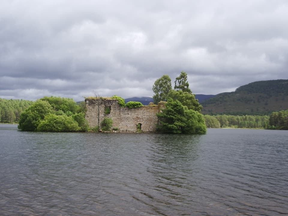
Loch Lee and Invermark Castle“You're approaching Invermark, the road end for Loch Lee and its mountain views. The water is about fifteen to twenty minutes away on foot, so this works well as a lochside wander without a full hill day.”
Plays as you drive up to this trailhead in the Parkwolf Cairngorms Tour Guide.
“Fantastic app with many points of information… It’s great to just turn on while you’re driving and it gives you an audio tour of the national Park. We love it!!!!”


Trail guide
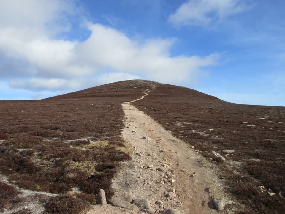
This out-and-back starts at Invermark car park and climbs from Glen Esk to Mount Keen’s 939 m summit, returning by the same route. Allow 11 miles (17.5 km), about 681 m of ascent and roughly 5–6 hours. It is the shortest approach to the top, but it remains a full hill day: the glen track gives way to a steep, exposed climb onto open moor and a rocky summit cone.
Cross the bridge from the car park, pass the church and follow the signed right turn for Mount Keen and Queen’s Well. Invermark Castle can be glimpsed through trees beside the early track. Continue up Glen Mark with the Water of Mark nearby. Red deer are sometimes seen here, especially during the October rut, though sightings are never guaranteed.
A short branch leads to Queen’s Well, a granite-arched shelter over a spring. Queen Victoria is said to have stopped at this spot during a pony trek through the Angus glens. Return to the main track to continue uphill.
Pass Invermark Cottage and cross Easter Burn; after heavy rain the crossing can be more difficult. An iron grid crosses Ladder Burn before the rough track climbs into Ladder Glen. Steep zigzags lift you onto open moor, with Glen Esk spreading out behind. At the upper junction, take the constructed path on the right. The left line follows the old Mounth Road. The final approach is rocky and bouldery, so take care with footing, especially in poor visibility.
At 939 m, Mount Keen is the easternmost Munro. The summit trig point stands above the broad Mounth plateau, with a wide sweep of hills and Lochnagar to the west. Give the top time if conditions allow, then retrace your steps to Invermark; the same long descent returns through Ladder Glen and past Queen’s Well.
The upper mountain is very exposed, and wind or low cloud can make the route feel markedly harsher than the sheltered glen. The track and hillpath become rough and boggy in places. Check the forecast, carry suitable hill gear and navigation, and be prepared to turn back if visibility or conditions deteriorate. Easter Burn can also be harder to cross after heavy rain.
Dogs may accompany walkers under Scotland’s responsible access rules. Keep them close around livestock and use a short lead near ground-nesting birds during the breeding season. Deer stalking takes place on estate ground from late August to 15 February; published route guidance says the main path from Invermark remains open, but check current estate notices and follow any instructions.
Wildlife
 159 sightingsRed DeerMost seen around 7 AMSighting map
 63 sightingsReindeerMost seen around 6 PMSighting map
 102 sightingsOspreyMost seen around 5 PMSighting map
 37 sightingsBlack GrouseMost seen around 4 AMSighting map
 72 sightingsRed GrouseMost seen around 6 PMSighting map
 82 sightingsPine MartenMost seen around 9 PMSighting map
Sighting maps show where each species has been reported across Cairngorms. Wildlife moves, so no sighting is guaranteed.
Keep exploring
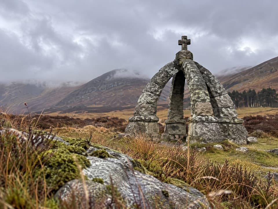 EasyQueen’s Well Trail, Glen Esk8 km · 2.5 hr · At the trailheadA glen walk to a spring framed by a granite crown.
 ModerateLoch Brandy Trail5.3 km · 3 hr · 14 km awayA steep climb to a dark loch beneath a rocky corrie.
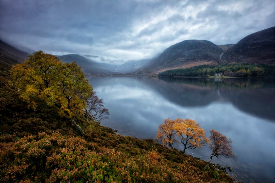 ModerateLoch Muick Circuit12.5 km · 4 hr · 14.4 km awayA long lochside loop past Queen Victoria's quiet retreat.
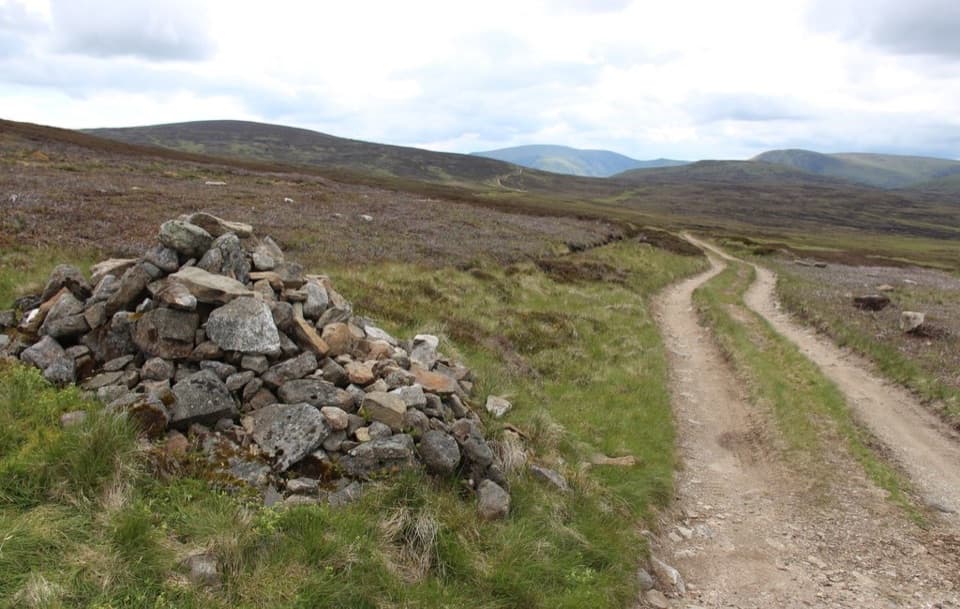 ModerateCapel Mounth10.5 km · 3.5 hr · 14.4 km awayA high old pass linking Loch Muick with Glen Clova.
 ChallengingMount Keen via Glen Tanar29.3 km · 9 hr · 16.4 km awayA long pinewood approach to Scotland’s most easterly Munro.
 EasyOld Pines Path, Glen Tanar8.3 km · 2.3 hr · 16.4 km awayA gentle glen circuit linking old pines, a chapel and a viewpoint.
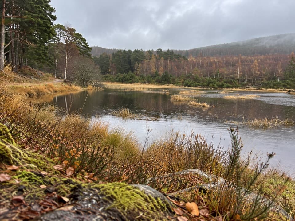 EasyFairy Lochan Path3.5 km · 1 hr · 16.4 km awayA gentle lochan loop with a chapel and summer dragonflies.
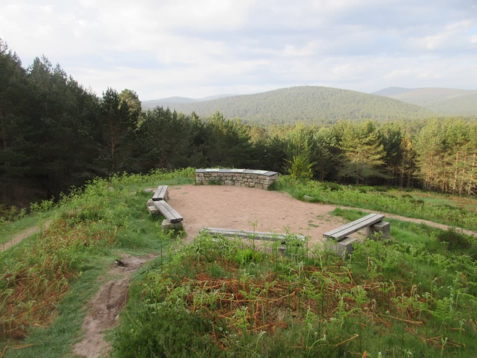 EasyKnockie Viewpoint Path3.2 km · 1 hr · 16.4 km awayA quick forest loop to a glen view and an old chapel.
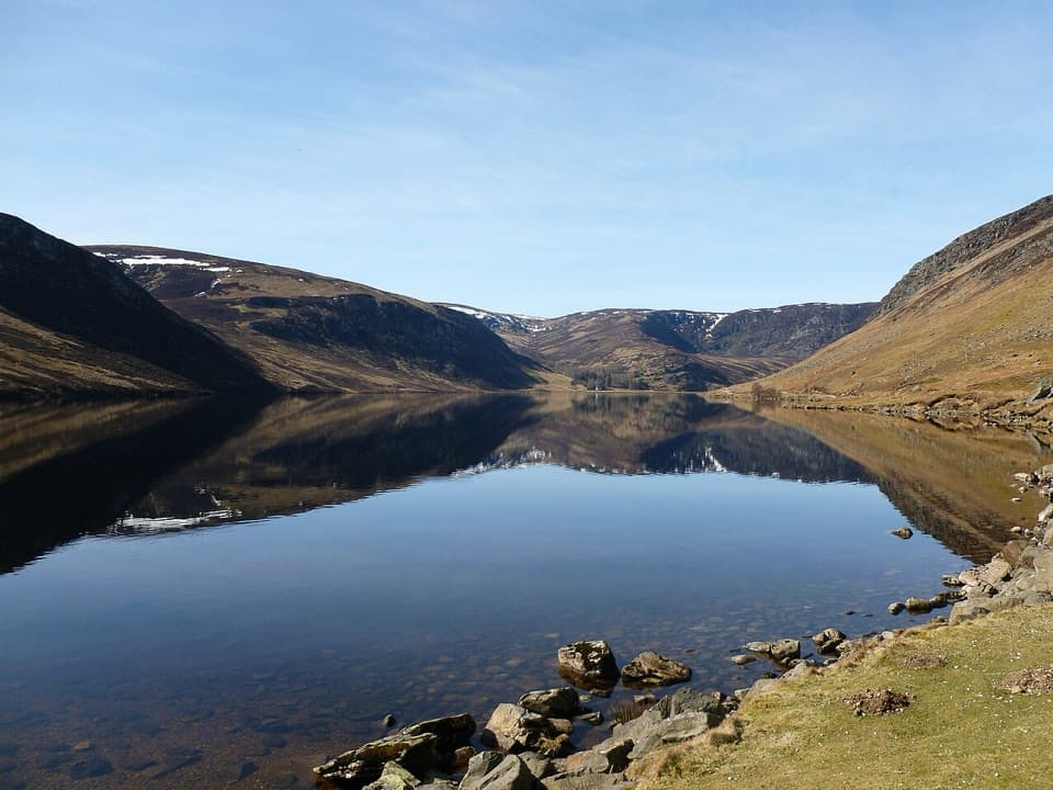 Sight · At the trailheadLoch LeeA quiet lochside walk with falls and a longer hill circuit.
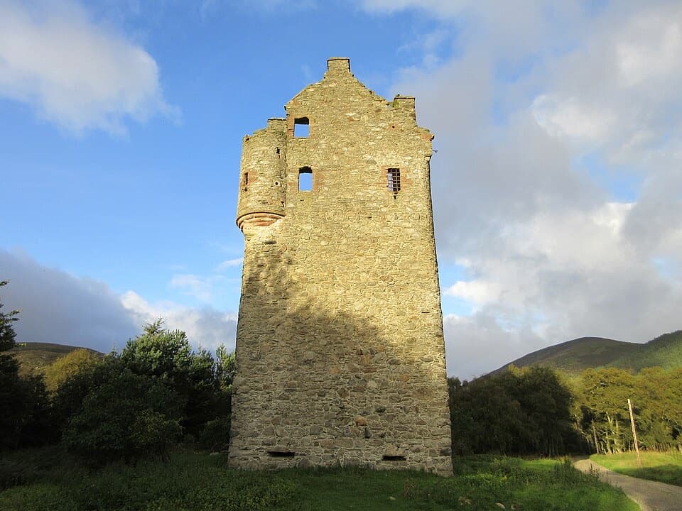 Sight · 0.4 km awayInvermark CastleA roofless Lindsay tower adds history to the Loch Lee walk.
 Sight · 3.6 km awayQueen’s WellWalk 8 km to a stone crown built for Queen Victoria.
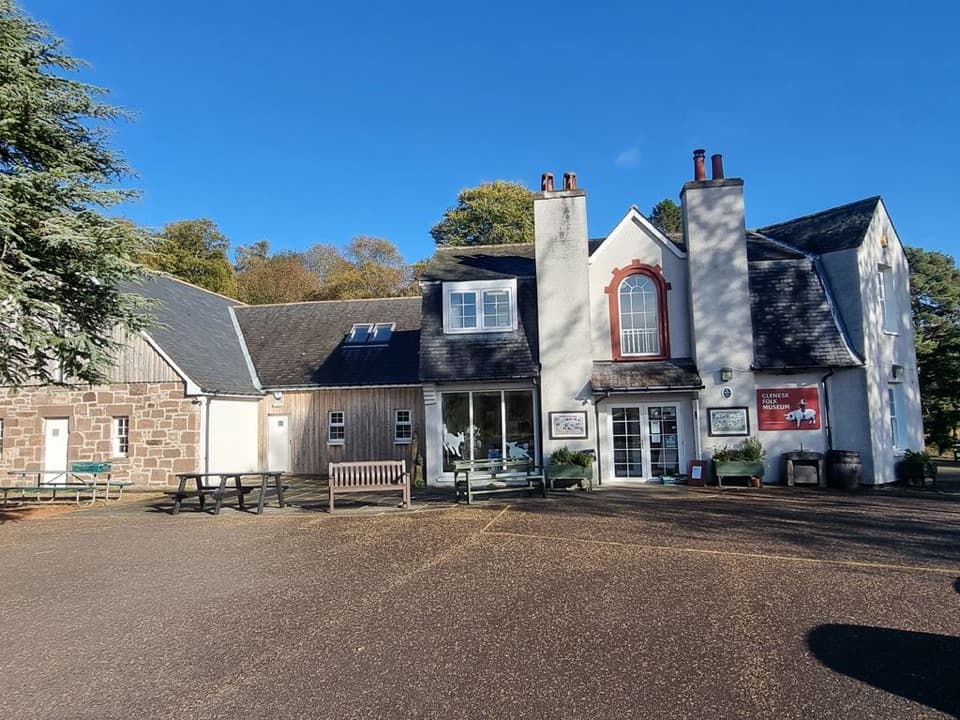 Sight · 6.4 km awayGlenesk Folk MuseumA personal museum of Glen Esk life, with homemade cake.
 Sight · 11.8 km awayLoch BrandyA high corrie loch worth the steep climb from Glen Clova.
 Visitor center · 14.6 km awaySpittal of Glen Muick Visitor CentreA handy information stop before walking up Glen Muick.
Parkwolf’s Cairngorms ranking

The audio tour guide for the drive, plus offline maps, trails, and wildlife heatmaps for when the signal drops.