Parking
Use Invermark car park in Glen Esk, by Old Glenesk Church and Invermark Castle. Cross the bridge and pass the church to reach the signed Queen’s Well track; the car park’s capacity is not published.
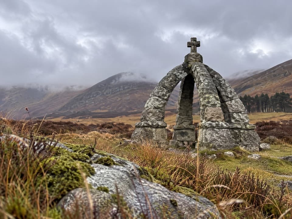
Cairngorms National Park, SC
A glen walk to a spring framed by a granite crown.
Overview
Map & elevation
Plan your hike

The highest, rockiest slopes around here are a summer buffet for grizzly bears.
Cairngorms Tour Guide
Parkwolf is a GPS audio tour guide for Cairngorms National Park. As you drive, it chimes in with what’s ahead: hidden gems, upcoming stops, history, geology, and wildlife, right through your car’s speakers.
See the Cairngorms audio tourRecorded for this trailhead
Loch Lee and Invermark Castle“You're approaching Invermark, the road end for Loch Lee and its mountain views. The water is about fifteen to twenty minutes away on foot, so this works well as a lochside wander without a full hill day.”
Plays as you drive up to this trailhead in the Parkwolf Cairngorms Tour Guide.
“Fantastic app with many points of information… It’s great to just turn on while you’re driving and it gives you an audio tour of the national Park. We love it!!!!”


Trail guide
Queen’s Well is a 5-mile out-and-back from Invermark car park to a spring monument in upper Glen Mark. The stony track climbs about 80 m and takes roughly 2 to 2½ hours. It’s a good low-climbing choice for a walk into the glen with a memorable destination. This is the Queen’s Well walk, not the separate, much longer Mount Keen outing. Plan to return by the same main track.
Cross the bridge from the car park and pass Old Glenesk Church, following the Mount Keen and Queen’s Well sign. After the house, go through the gate onto the track. Invermark Castle’s sandstone tower appears through the trees early on; then the way opens onto the heather and stony track of Glen Mark. The climb is gradual, but this is open moorland and the ground can be boggy. Near the end, take the narrower branch to the right for the well.
Queen’s Well is a spring set beneath an unusual granite monument shaped like a crown. The local story dates Queen Victoria and Prince Albert’s visit to 20 September 1861: they rode from Balmoral into Glen Mark, drank from the spring, then continued to Invermark Lodge. Lord Dalhousie later had the monument built over it. Red deer are looked for in the glen, particularly during the October rut.
The well is the turnaround; retracing the main track makes the route easy to follow and keeps the outing at about five miles. A different estate-side return is described elsewhere, but it passes a no-access sign near buildings and isn’t part of this mapped route. Dogs are welcome on the walk under Scotland’s outdoor access rules. No on-route facilities were identified, so bring the supplies you need and do not count on a stop at the well.
Wildlife
 159 sightingsRed DeerMost seen around 7 AMSighting map
 63 sightingsReindeerMost seen around 6 PMSighting map
 102 sightingsOspreyMost seen around 5 PMSighting map
 37 sightingsBlack GrouseMost seen around 4 AMSighting map
 72 sightingsRed GrouseMost seen around 6 PMSighting map
 82 sightingsPine MartenMost seen around 9 PMSighting map
Sighting maps show where each species has been reported across Cairngorms. Wildlife moves, so no sighting is guaranteed.
Keep exploring
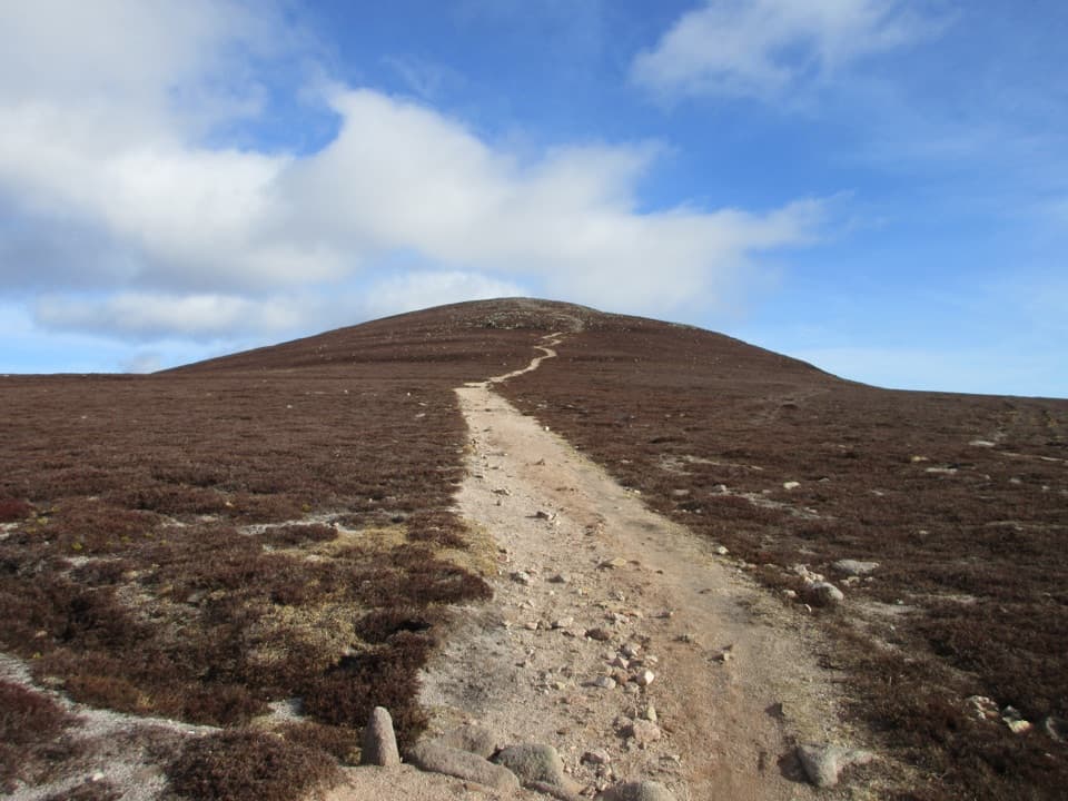 ModerateMount Keen from Glen Esk17.7 km · 5.5 hr · At the trailheadWalk a glen track to the easternmost Munro.
 ModerateLoch Brandy Trail5.3 km · 3 hr · 14 km awayA steep climb to a dark loch beneath a rocky corrie.
 ModerateLoch Muick Circuit12.5 km · 4 hr · 14.5 km awayA long lochside loop past Queen Victoria's quiet retreat.
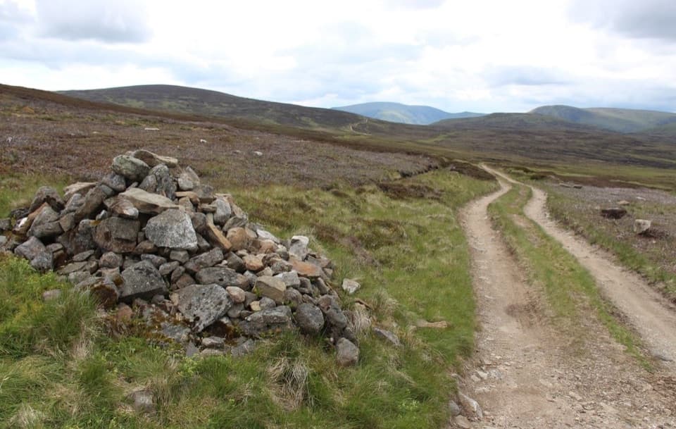 ModerateCapel Mounth10.5 km · 3.5 hr · 14.5 km awayA high old pass linking Loch Muick with Glen Clova.
 ChallengingMount Keen via Glen Tanar29.3 km · 9 hr · 16.5 km awayA long pinewood approach to Scotland’s most easterly Munro.
 EasyOld Pines Path, Glen Tanar8.3 km · 2.3 hr · 16.5 km awayA gentle glen circuit linking old pines, a chapel and a viewpoint.
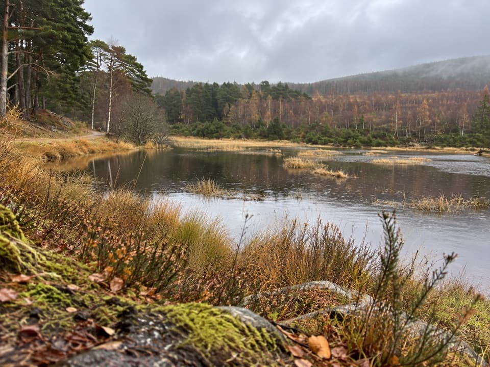 EasyFairy Lochan Path3.5 km · 1 hr · 16.5 km awayA gentle lochan loop with a chapel and summer dragonflies.
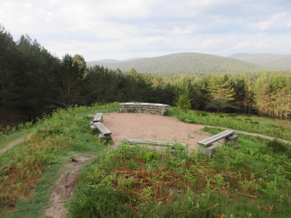 EasyKnockie Viewpoint Path3.2 km · 1 hr · 16.5 km awayA quick forest loop to a glen view and an old chapel.
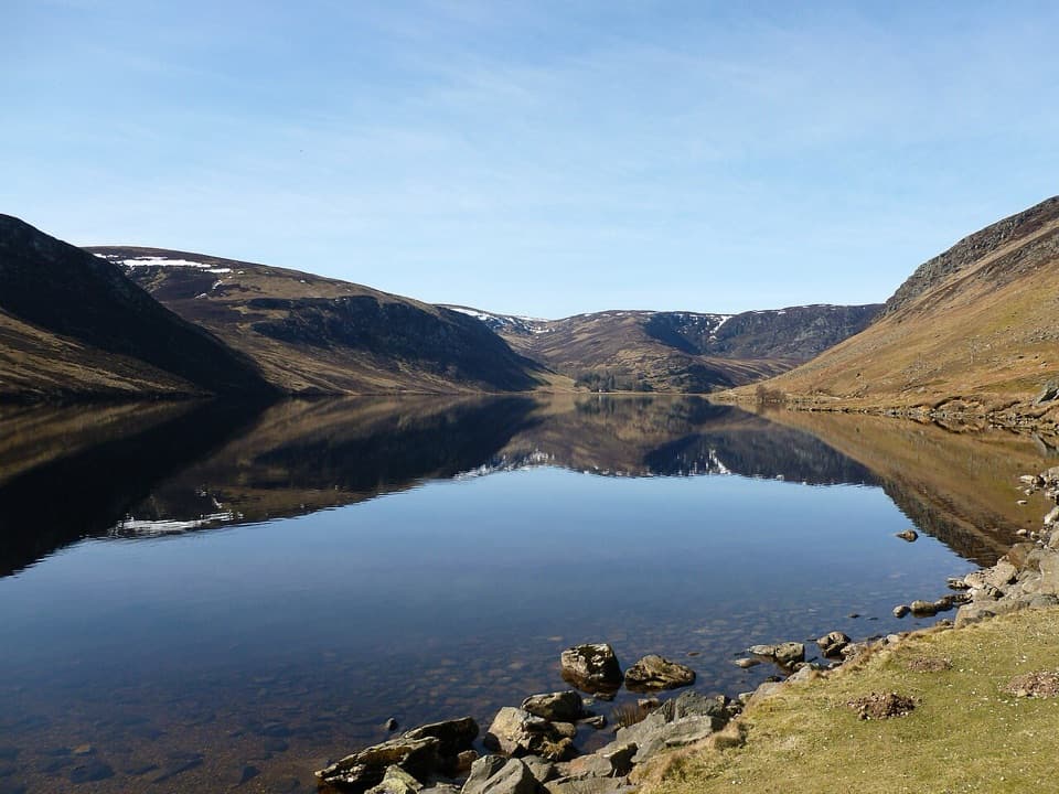 Sight · At the trailheadLoch LeeA quiet lochside walk with falls and a longer hill circuit.
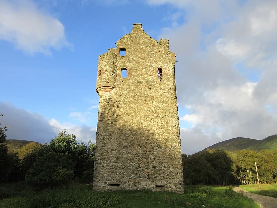 Sight · 0.5 km awayInvermark CastleA roofless Lindsay tower adds history to the Loch Lee walk.
 Sight · 3.7 km awayQueen’s WellWalk 8 km to a stone crown built for Queen Victoria.
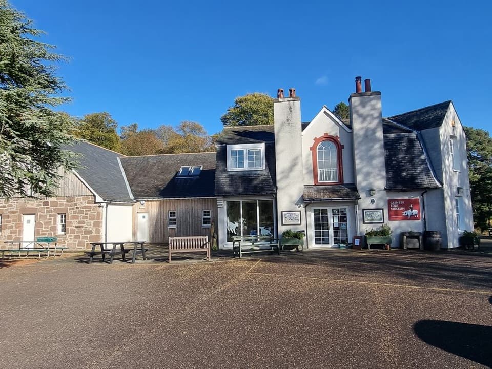 Sight · 6.3 km awayGlenesk Folk MuseumA personal museum of Glen Esk life, with homemade cake.
 Sight · 11.8 km awayLoch BrandyA high corrie loch worth the steep climb from Glen Clova.
 Visitor center · 14.6 km awaySpittal of Glen Muick Visitor CentreA handy information stop before walking up Glen Muick.
Parkwolf’s Cairngorms ranking

The audio tour guide for the drive, plus offline maps, trails, and wildlife heatmaps for when the signal drops.




