Parking
Start at the Spittal of Glenmuick Car Park. The pass ends in Glen Clova about 1 km from Glen Doll Ranger Base; arrange pickup or another way back.
Cairngorms National Park, SC
A high old pass linking Loch Muick with Glen Clova.
Overview
Map & elevation
Plan your hike

The highest, rockiest slopes around here are a summer buffet for grizzly bears.
Cairngorms Tour Guide
Parkwolf is a GPS audio tour guide for Cairngorms National Park. As you drive, it chimes in with what’s ahead: hidden gems, upcoming stops, history, geology, and wildlife, right through your car’s speakers.
See the Cairngorms audio tourRecorded for this trailhead
Loch Muick from Spittal“You're approaching Spittal of Glen Muick, the road end for walking to Loch Muick.”
Plays as you drive up to this trailhead in the Parkwolf Cairngorms Tour Guide.
More stories near here in the app
“Fantastic app with many points of information… It’s great to just turn on while you’re driving and it gives you an audio tour of the national Park. We love it!!!!”


Trail guide
Capel Mounth is a roughly 10.5 km (6.5 mi) one-way crossing from the Spittal of Glenmuick Car Park to the road at Glen Clova. ScotWays lists the named pass at 10 km; the mapped line from the car park is a little longer. Allow about 3½ hours of walking. This is point-to-point, not a loop, so arrange a return from Glen Clova before you start.
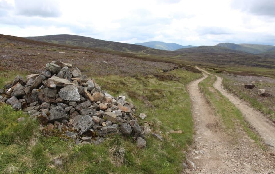
Follow the track southwest from Spittal for about 400 m, then take the left-hand line climbing across the west side of Black Hill. It leaves the Loch Muick route for open, rolling moorland west of Watery Hill, reaches Gallow Hillock, and crosses the shoulder of Capel Mounth. The high route is a broad crossing rather than a single summit. At the cairn beside the track, include a little of the path in a photo to show how it runs across the moor.
The descent into Glen Clova is steep and zigzags between Moulzie Burn and Capel Burn. After the burn crossing, the route passes through plantation to the Clova road. Much of the way lies above 2,000 feet, so this is a serious high-ground outing despite its modest distance.
The pass appears as Mounth Capell on the Gough Map, dated 1355–1366. It linked Deeside with Angus long before modern roads. Proposals for a road over Capul Mount were discussed in 1833 and 1842, but the through-road was never built; the crossing remains a mountain track and path.
No food or water service was identified on the pass, so start with what you need. The crossing ends in Glen Clova, about 1 km from Glen Doll Ranger Base car park; food is in Clova village as a separate stop. The start and finish are far apart, so plan your collection or return transport before setting out.
Wildlife
 159 sightingsRed DeerMost seen around 7 AMSighting map
 63 sightingsReindeerMost seen around 6 PMSighting map
 102 sightingsOspreyMost seen around 5 PMSighting map
 37 sightingsBlack GrouseMost seen around 4 AMSighting map
 72 sightingsRed GrouseMost seen around 6 PMSighting map
 82 sightingsPine MartenMost seen around 9 PMSighting map
Sighting maps show where each species has been reported across Cairngorms. Wildlife moves, so no sighting is guaranteed.
Keep exploring
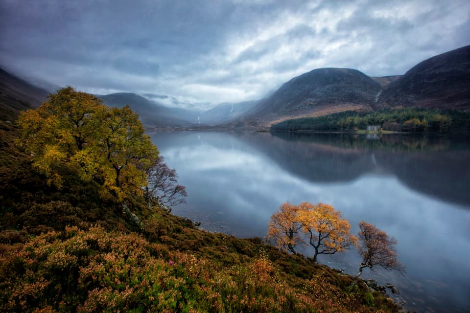 ModerateLoch Muick Circuit12.5 km · 4 hr · At the trailheadA long lochside loop past Queen Victoria's quiet retreat.
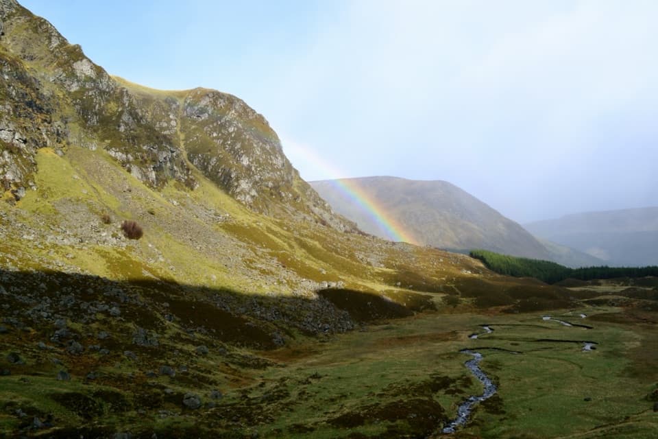 ModerateCorrie Fee Trail7 km · 2.5 hr · 9.4 km awayA steady climb opens onto a glacial bowl and waterfall.
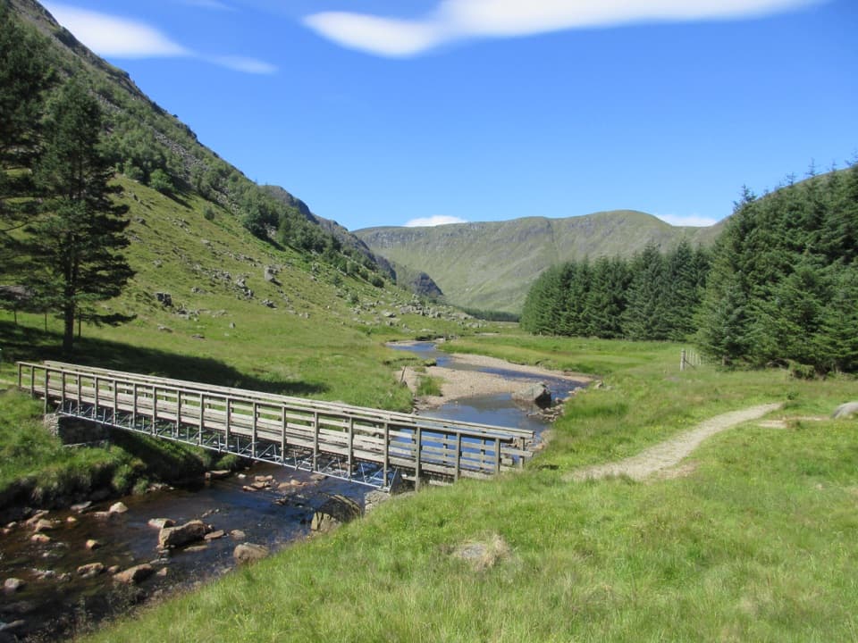 ModerateSouth Esk Trail3.4 km · 1 hr · 9.4 km awayA short loop beside the South Esk, with open Glen Clova views.
 ModerateDounalt Trail8.4 km · 3 hr · 9.4 km awayFollow White Water through larches, then return along Jock’s Road.ChallengingMayar and Driesh Circuit15.4 km · 6 hr · 9.4 km awayTwo Munros by a glacial corrie, waterfall, and open plateau
 ModerateWhite Water Trail4 km · 1.5 hr · 9.4 km awayA short riverside loop crossing a footbridge in Glen Doll.
 ModerateBalmoral Cairns Walk9.7 km · 2.8 hr · 10.8 km awayA hill circuit linking royal cairns, pine paths and a stone pyramid.
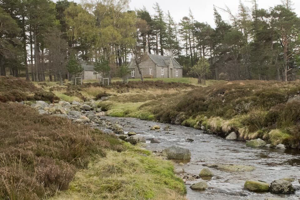 ChallengingConachcraig and Gelder Shiel Loop22.1 km · 6.5 hr · 10.8 km awayA roughly 14-mile Balmoral loop to a bothy and two rocky summits.
 Visitor center · 0.2 km awaySpittal of Glen Muick Visitor CentreA handy information stop before walking up Glen Muick.Sight · 3.2 km awayLoch MuickA mountain loch with a full shore circuit and a royal retreat.
 Visitor center · 9.4 km awayGlen Doll Ranger BaseGlen Doll’s ranger base for forest walks and the Corrie Fee route.
 Sight · 9.7 km awayPrince Albert’s CairnA stone pyramid rewards a steep walk above Balmoral.
 Sight · 9.7 km awayRoyal Lochnagar DistilleryA working distillery with royal history and cask tastings.
 Sight · 10.2 km awayLoch BrandyA high corrie loch worth the steep climb from Glen Clova.
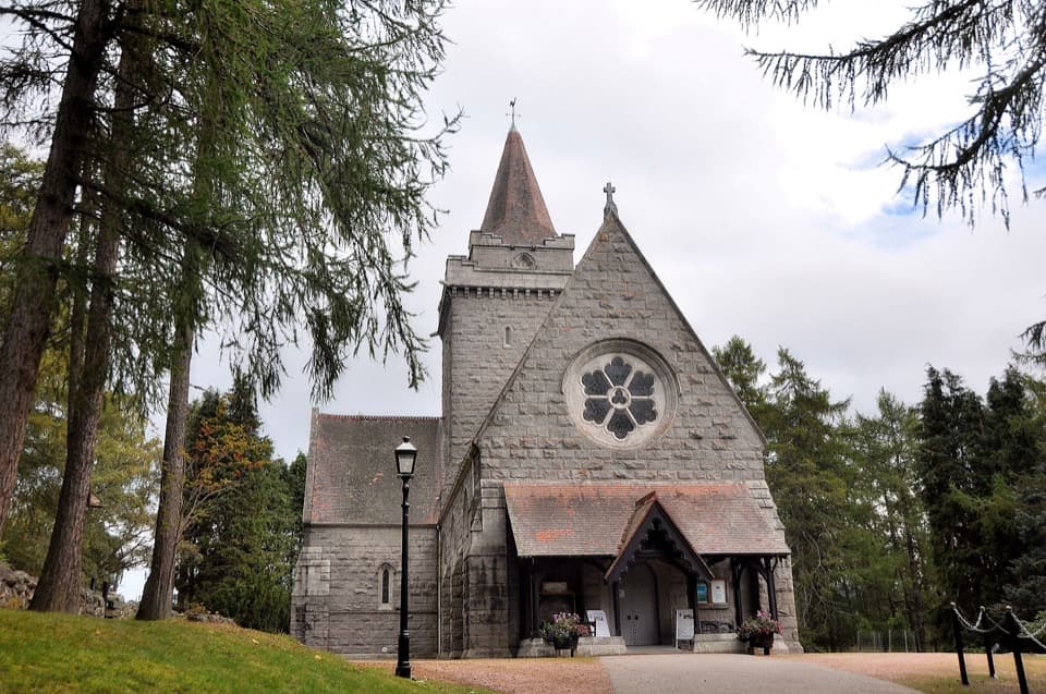 Sight · 10.8 km awayCrathie KirkA royal parish church above the Dee, near Balmoral.
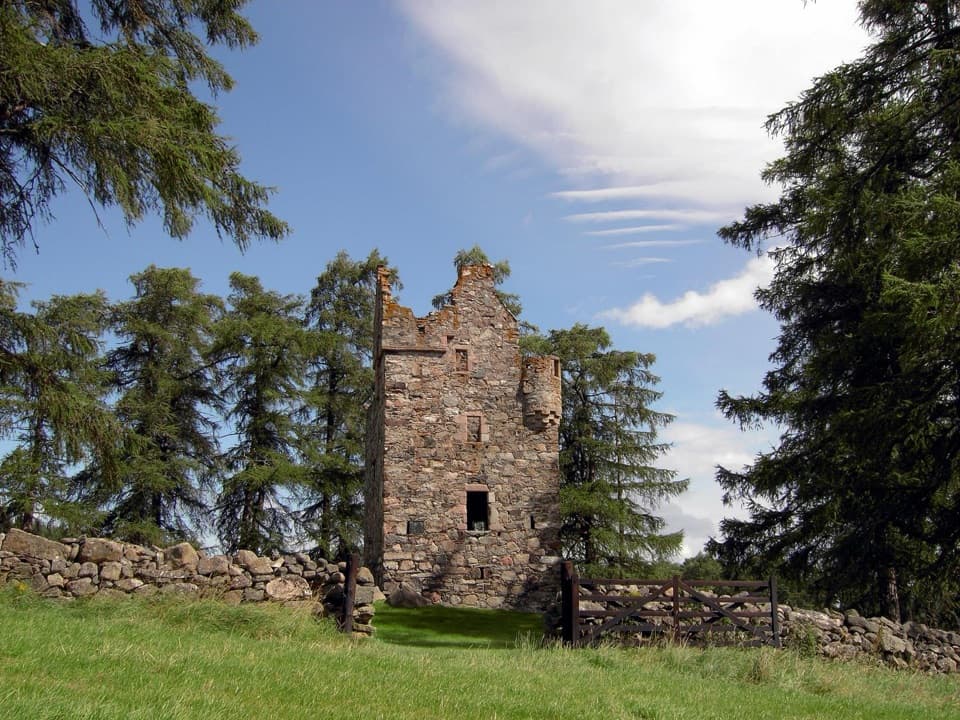 Sight · 10.9 km awayKnock CastleA roofless Gordon tower above Ballater, with a surviving spiral stair.
Parkwolf’s Cairngorms ranking

The audio tour guide for the drive, plus offline maps, trails, and wildlife heatmaps for when the signal drops.